Of all London’s lost rivers it is the Walbrook that is the most irrefutably lost: lost to time, lost to place… well, almost. An important source of water in Roman times, when its banks were lined with the workshops of Roman industry – tanneries, potteries and glass workshops – the river has not been visible on the surface since the 15th century when the last open sections were vaulted over. Ghosting the boundary of Roman London, its confluence with the Thames lay close to what is now Cannon Street Station Bridge. Where the Walbrook began is less certain, although what is clear is that its course flowed between the City of London’s two principle hills – Ludgate and Cornhill. Some say its source was a spring close to what is now Shoreditch High Street, while others point to higher ground at Islington.
Lost to time, perhaps, but there clues to place – in street names, in signs, in places of worship, in the Roman street plan. The walking route tracing the Walbrook’s course that I describe here is faithful to that given in Tom Bolton’s excellent London’s Lost Rivers: a Walker’s Guide Volume 1.
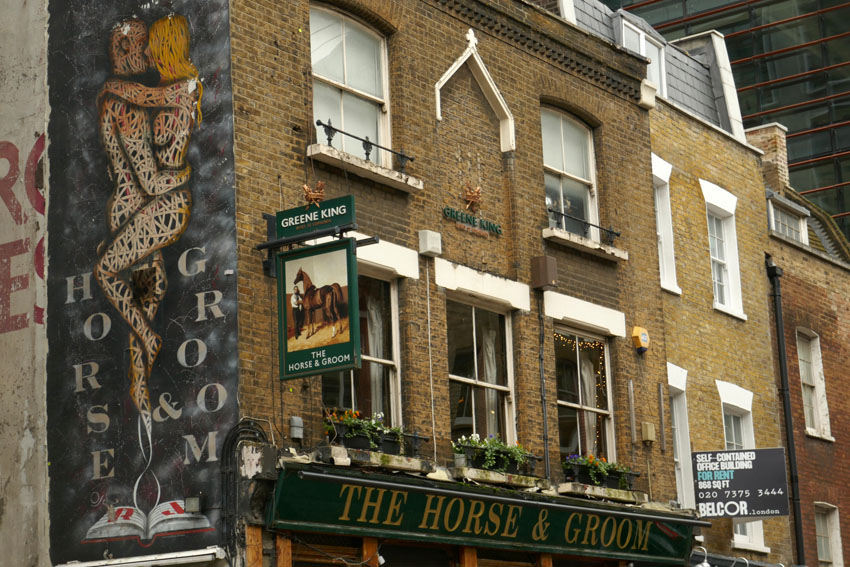
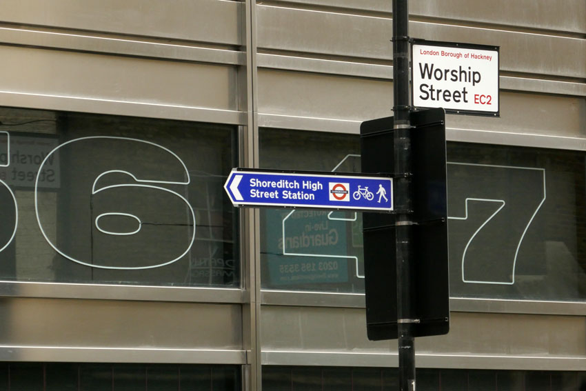
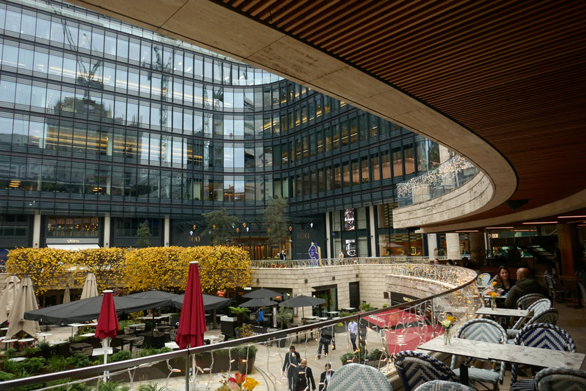
I begin on Curtain Road that runs south from Shoreditch. Holywell Road that abuts it to the east is an intimation of the location of the aforementioned spring. Curtain Street leads to Appold Street and through Broadgate Circle, an upmarket shopping and leisure hub that until 1984 served as a railway station and which was formerly a burial ground for the Bethlehem Royal Hospital, better known as Bedlam. It also served as a mass grave for victims of the various bubonic plague outbreaks in pre-Fire London – grim, no doubt, but dig down almost anywhere in central London and you will find human bones sooner or later. The River Walbrook would have passed through here before flowing along what is now Bloomfield Street to reach the Roman-built London Wall, which served as the boundary of the City until the 18th century. The Walbrook is believed to have flowed through a hole in the wall at an aqueduct close to where Bloomfield Street meets the Wall.

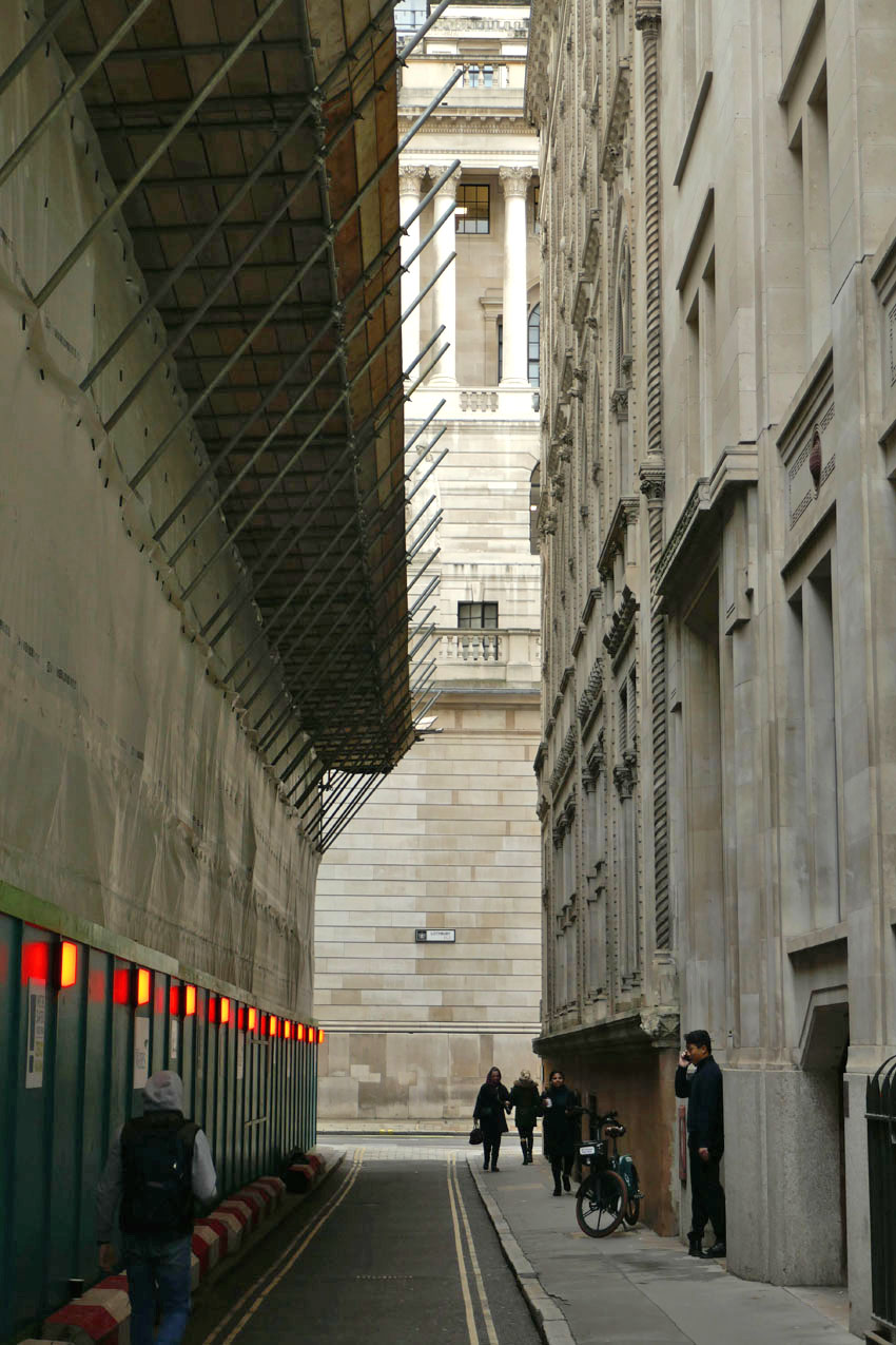
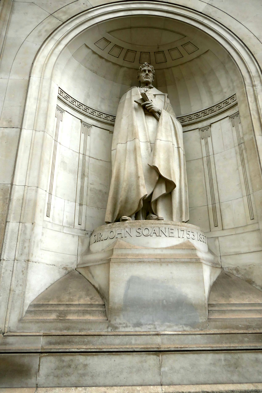
Channelling the disappeared river, I pass through elegant iron gates of the Wall into Throckmorton Avenue, then turn right and left into an alleyway opposite a barber’s shop that seems incongruous amidst all this high-rise estate of capital. But even financiers need to be shaved and shorn occasionally – sharp haircuts and a regular supply of barista coffee are the basic necessities of life in the City. The alleyway leads into to the narrow passageway of Tokenhouse Yard, at the end of which is the reflected light of the north wall of the Bank of England, the building’s Portland stone preternaturally aglow in the gloom of an overcast November day. The magnetic pull of capital here is almost spiritual: money buys, Jesus saves, sinners spend. Sir John Soane, the Bank of England architect, surveys the scene from his statue recessed high into the wall, while the ghost of the river traverses beneath the building, symbolically moistening – perhaps laundering – the horded lucre in the vaults beneath.
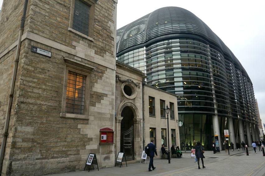
Riverwards, beyond the Bank, lies the Church of St Stephen’s Walbrook and a street of the same name. The elusive river is acknowledged at last. The church, originally situated on the bank of the Thames, was moved here in the 14th century. The Walbrook would have flowed just west of here. The street is dominated by the block-length, Norman Foster-designed Bloomberg building, which has an undulating profile that hints at the vanished river. On its ground floor, an etched glass door leads into the London Mithraeum, a museum dedicated to the Mithras temple that once stood on the banks of the Walbrook nearby. A place where Mithras and Bacchus were once worshipped by Roman soldiers, Mammon has since taken over as chief deity on this patch of expensive real estate.
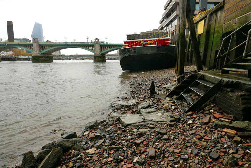
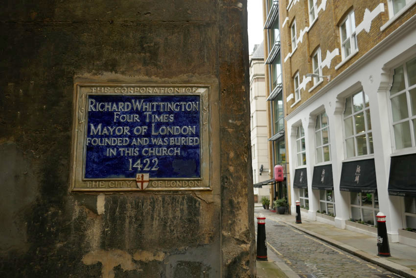
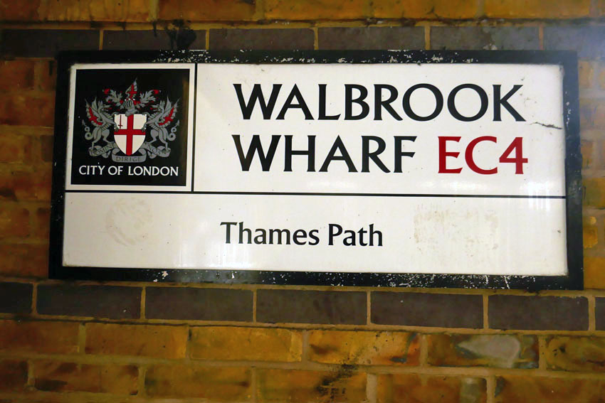
Just south of here, within sight of Cannon Street Station, is the Church of St Michael Paternoster Royal. Alongside are Whittington Gardens, named after the famous cat-loving, four-time Lord Mayor of the city who is buried here. This was the original location of confluence of the Walbrook with the Thames – the mighty river has shifted south in the two millennia that has passed since Roman times. Upper Thames Street now flows with traffic where once the tidal river lapped. The modern confluence, theoretical as it may be, lies not far away along Cousin Lane, a narrow street that traces the long wall of Cannon Street Station down to the railway bridge over the Thames. Here there is a pub and steps leading down to the water. There is also a river path that leads west along Walbrook Wharf, where black barges lie tilted on the shore awaiting the incoming tide.

The tide is out and so I descend to the beach, which is covered with assorted pebbles, water-blunted bricks and a few rusted scraps of iron. Scattered among the pebbles, a small piece of pottery reveals itself at my feet – curved, brown; reassuringly rustic. Roman? Who knows, probably not, but somehow it feels right. A votive offering – it marks the place where London began.

 The Saints is a small, loosely defined area of northeast Suffolk just south of the River Waveney and the Norfolk border. Effectively it is a fairly unremarkable patch of arable countryside that contains within it a baker’s dozen of small villages with names that begin or end with the name of the parish saint: St Peter South Elmham, St Michael South Elmham, St Nicholas South Elmham, St James South Elmham, St Margaret South Elmham, St Mary South Elmham, St Cross South Elmham, All Saints South Elmham, Ilketshall St Andrew, Ilketshall St Lawrence, Ilketshall St Margaret, Ilketshall St John and All Saints Mettingham. The area is bisected in its eastern fringe by the Bungay—Halesworth road that follows the course of Stone Street, a die-straight Roman construction, one of several that can still be traced on any road map of East Anglia. On the whole though the roads around here are anything but Roman in character: narrow, twisting, often bewilderingly changing direction, and marked with confusing signs (too many saints!), it is a good place to visit should you wish to humiliate your Sat Nav. John Seymour in The Companion Guide to East Anglia (1968) describes The Saints as ‘a hillbilly land into which nobody penetrates unless he has good business,’ which is perhaps hyperbolic but there is undoubtedly a feel of liminality to the area that persists to this day.
 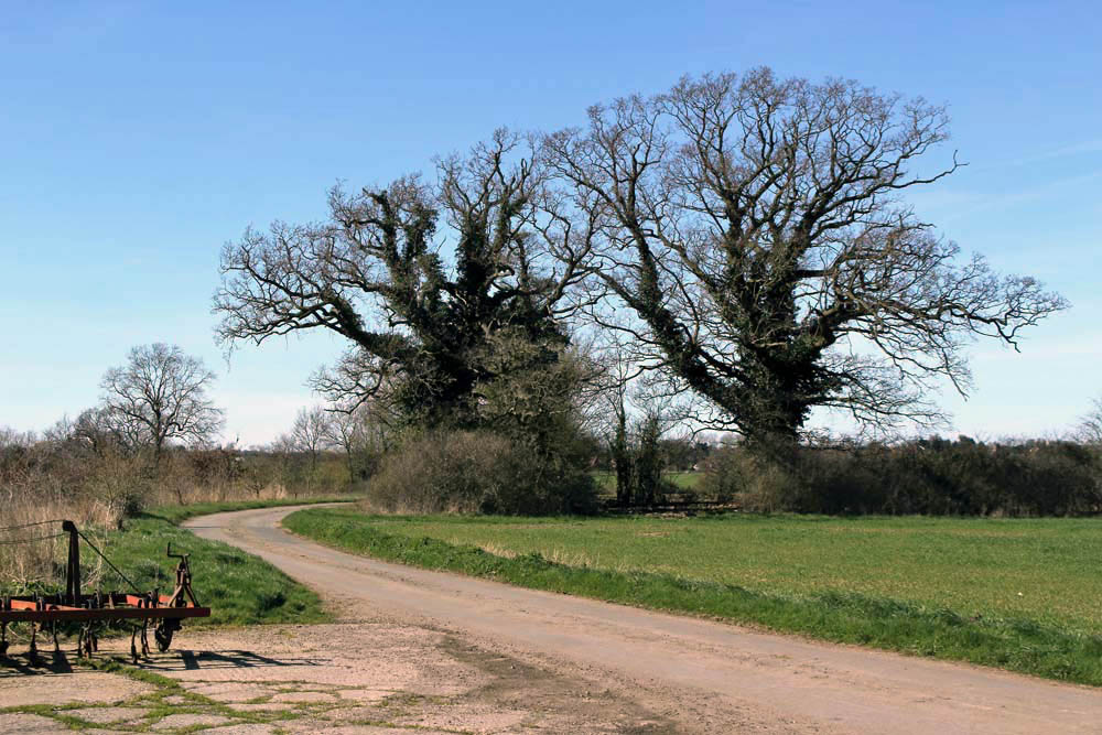 The village names conjure a medieval world where saint-obsessed religion loomed large. Such a tight cluster of settlements suggests a concentration of population where parishes might eventually combine to form a town or city – with 13 villages and the same number of churches (eleven of which are extant), there were more churches here than in all of Cambridge. But The Saints never coalesced to become a medieval city – none of the villages had a port, defensive structure or even significant market to its credit and consequently the area would slowly slip into obscurity as the medieval era played out and other East Anglia towns and cities – Cambridge, Bury St Edmunds, Ipswich and, of course, Norwich – took the baton of influence and power.
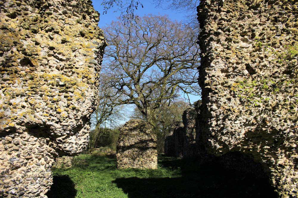
 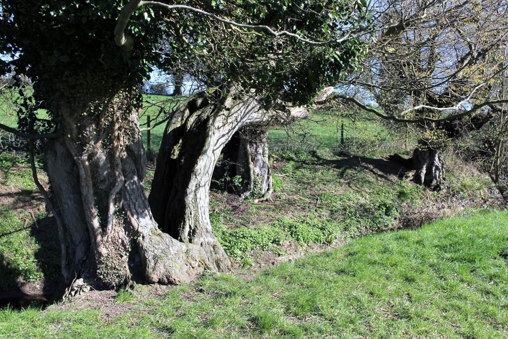 It was not always so: one of the villages in particular held great significance in its day. The land covered by the South Elmham parishes was once owned by Almar, Bishop of East Anglia and the late Saxon Bishops of Norwich had a summer palace here at St Cross, now South Elmham Hall. The most intriguing of the churches lies within the same parish. It is not in any way complete but a ruin framed by woodland a good half mile from the nearest road. South Elmham Minster, although probably never a minster proper, is veiled in mystery regarding its origins but its appeal owes as much to its half-hidden location as it does to its obscure history. South Elmham may have once been the seat of the second East Anglian bishopric (the first was in Dunwich, the sea-ravaged village on the Suffolk coast), although North Elmham in Norfolk seems a more likely contender. Whatever the ruin’s original function – a private chapel for Herbert de Losinga, Norwich’s first bishop, is another possibility, or it may even be that a second bishopric was founded here – the church in the wood just south of South Elmham Hall dates back at least to the 11th century. It is probably older in origin – a ninth-century gravestone has been unearthed in its foundations. The site itself is undoubtedly of greater antiquity: a continuation of an earlier Anglo-Saxon presence that occupied the same moated site, which, earlier still, was home to a Roman temple and perhaps, even earlier, a pagan holy place.
 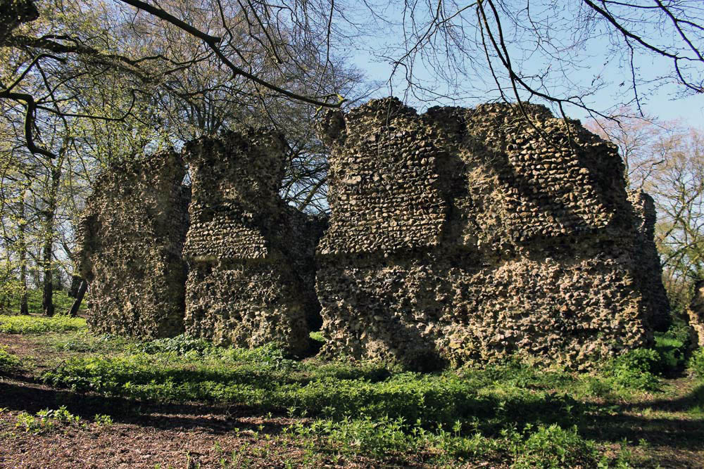 We leave the car in a muddy parking area alongside another vehicle and a dumped piece of agricultural machinery. Nearby stands a weather-beaten trestle table that suggests that this once might have served as a designated picnic spot. Now half-submerged in grass and thistles, the table did not look as if any sandwich boxes had been opened on it for some time. Things have changed here a little in recent years: the permissive footpaths that once threaded through the South Elmham estate are no longer available for the public, and the hall itself has been re-purposed for use as a wedding and conference venue. At least the minster was still accessible by means of a green lane and a public footpath across fields.
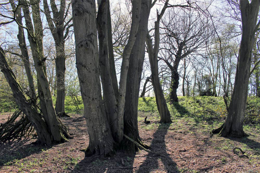
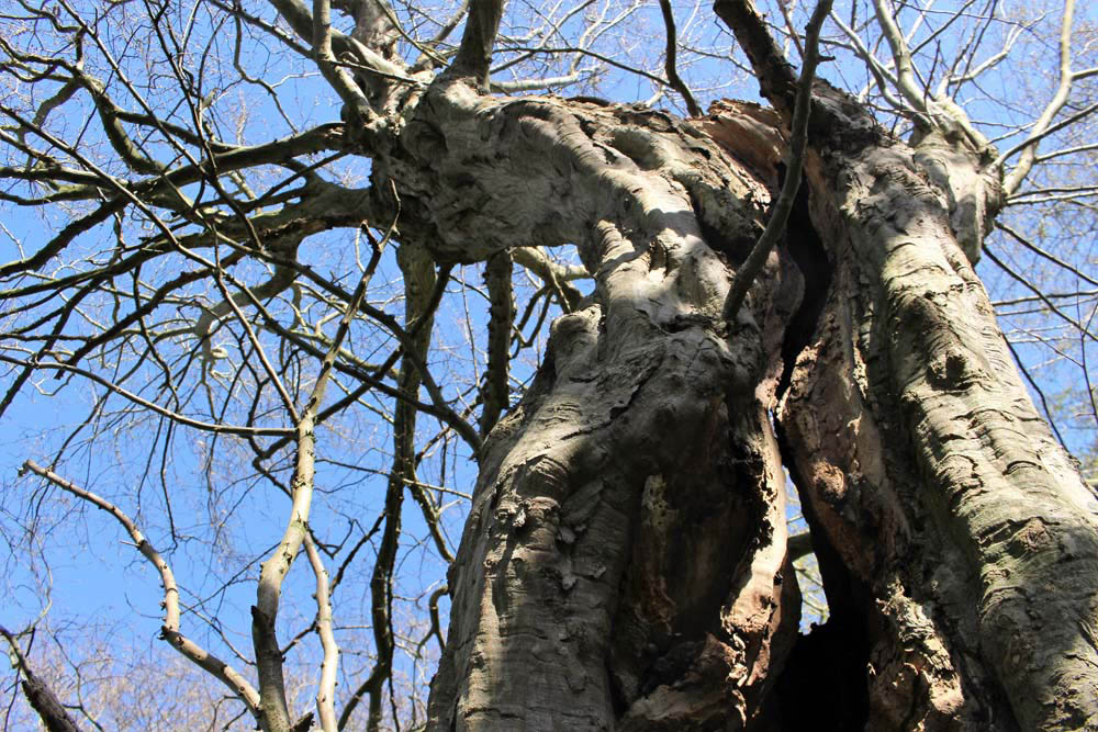
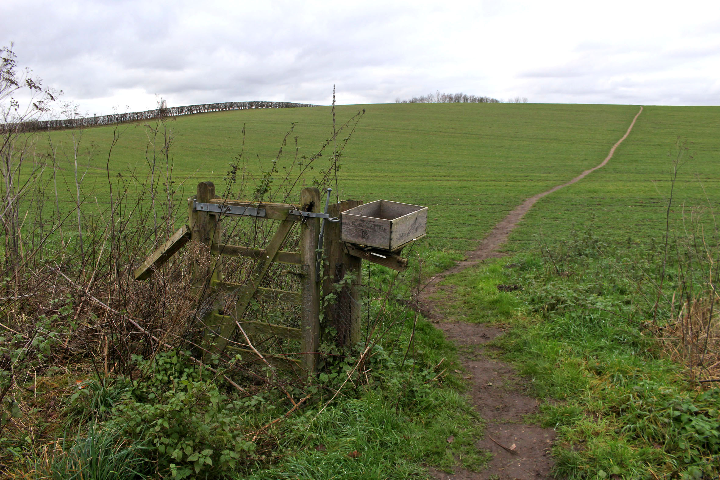
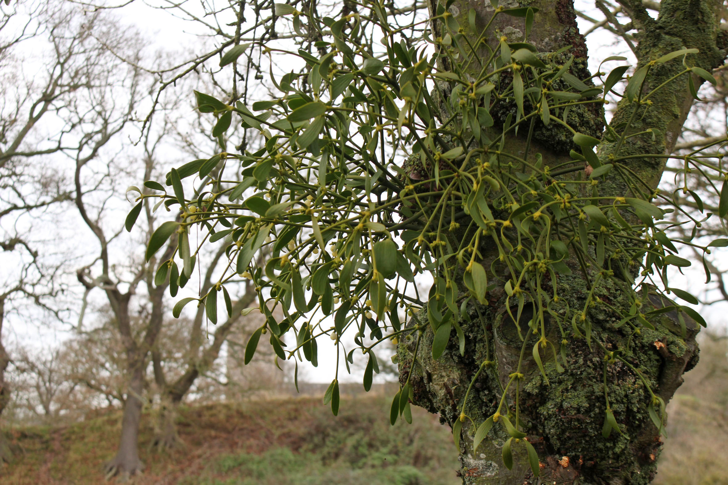
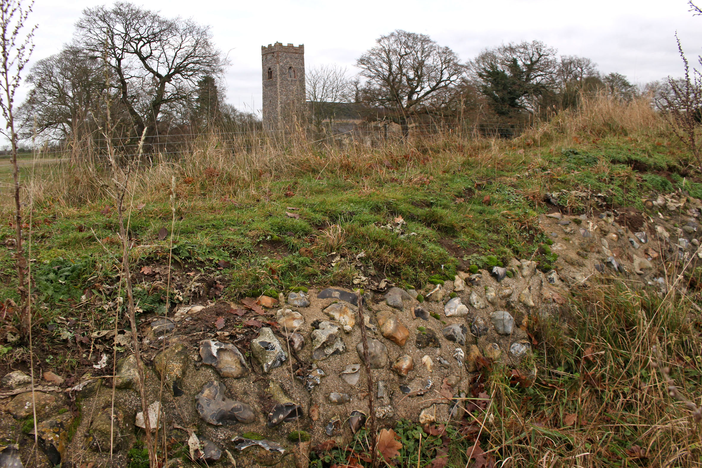
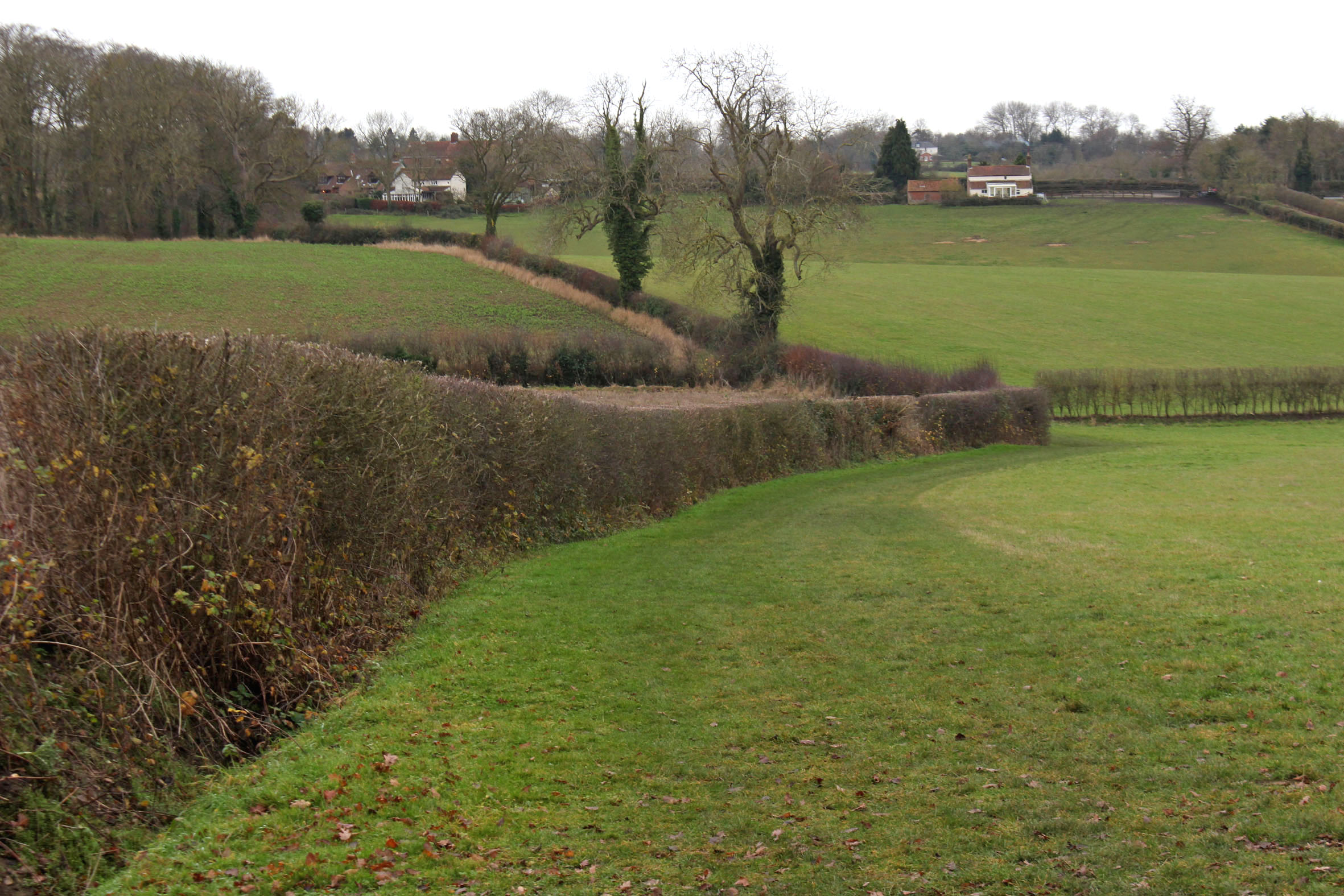
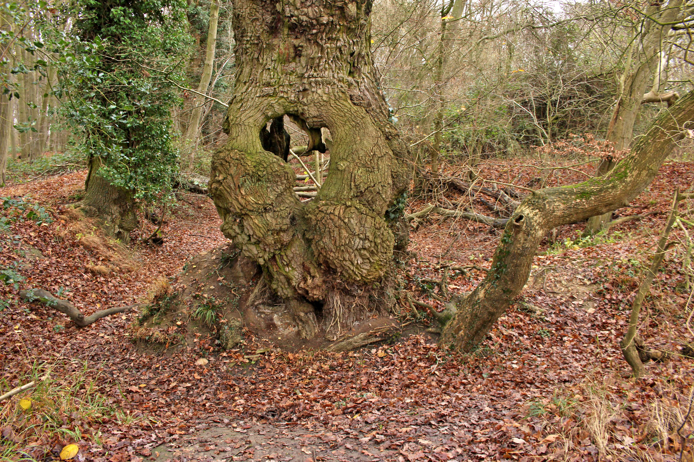
  The green lane is flanked by mature hedges frothed white with blackthorn blossom. Reaching its bottom end we turn left to follow a footpath alongside a stream, a minor tributary of the River Waveney; strange hollowed-out hornbeams measure out its bank. Soon we come to the copse that contains the ruin, a rusty gate gives admission across a partial moat and raised bank into what can only be described as a woodland glade. The ancient flint walls of the church stand central, striated by the shadow of hornbeams still leafless in late March. There is no sign of a roof but the weathered walls of the nave are clear in outline, as is the single entrance to the west. On the ground, last year’s fallen leaves provide a soft bronze carpet that is mostly devoid of ground plants.
 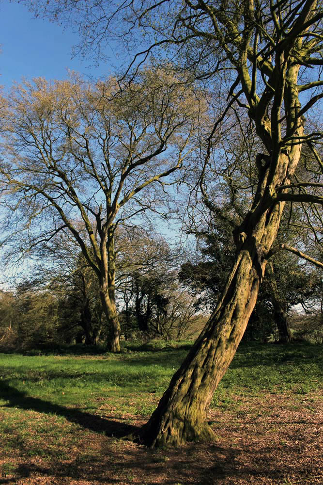 Church or not, there is a timelessness to this place in the woods. And a strong sense of genius loci, the sort of thing that put the wind up the Romans with their straight lines and four-square militaristic outlook. I wander off to explore the bank to the west and discover the opening of a badger sett that looks to be newly excavated. Without much expectation, I rummage though the spoil musing that there might just be the remotest of chances that, burrowing deep beneath the mound, the animals have thrown up some treasure long buried in the soil below: an Anglo-Saxon torc, a Roman coin perhaps? I would even settle for a rusty button, but nothing. No matter, the mystery of the place is enough for now. We leave the bosky comfort of the site and retrace our steps along the beck and green lane back to the car. The other car has gone – we never did see its occupants.