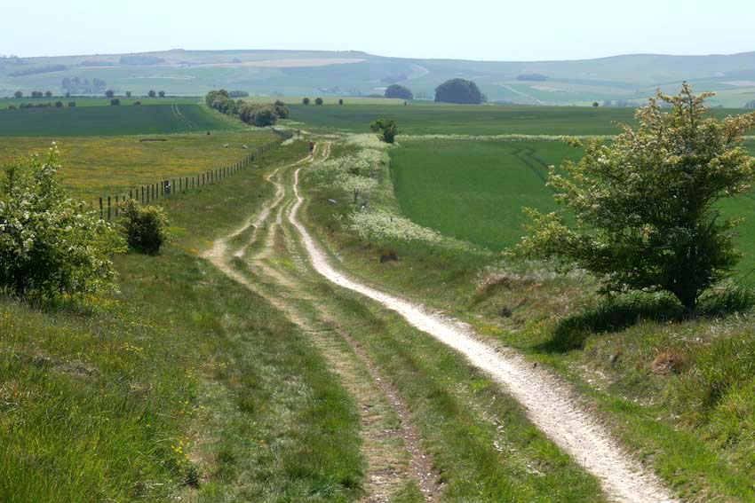
I had been keen to revisit Avebury for a while. This Neolithic stone circle, a World Heritage Site set within the rolling chalk country of north Wiltshire, holds a special place in my heart. This time I planned to approach it differently. Rather than just park up at the English Heritage car park and do the usual day trip thing, I wanted to arrive there on foot by way of the ancient ritual landscape that held it. I had originally intended to come three weeks earlier but the threat of prolonged rain made me postpone my visit. This time, as it turned out, I would have to contend with a very different kind of weather: the highest UK May temperatures on record.
It was no doubt the unseasonably warm, 31°C degree heat that explained why the Ridgeway was almost completely deserted as I set off south along the Ridgeway towards Avebury from Barbury Castle just south of Swindon. Barbury is not actually castle at all but an Iron Age hill fort. From a drone’s-eye view it looks impressive with its double ditch and banks but on the ground there is not much to be seen other than a circle of chalky earthworks. The car park is close to the site, and a couple of families had come to fly kites on top of the raised bank, but as soon as I walked through it to continue along the Ridgeway I found myself more or less entirely alone. From this point on, I only saw a handful of walkers and cyclists all the way to Avebury – perhaps all the more surprising for a sunny Bank Holiday Monday.
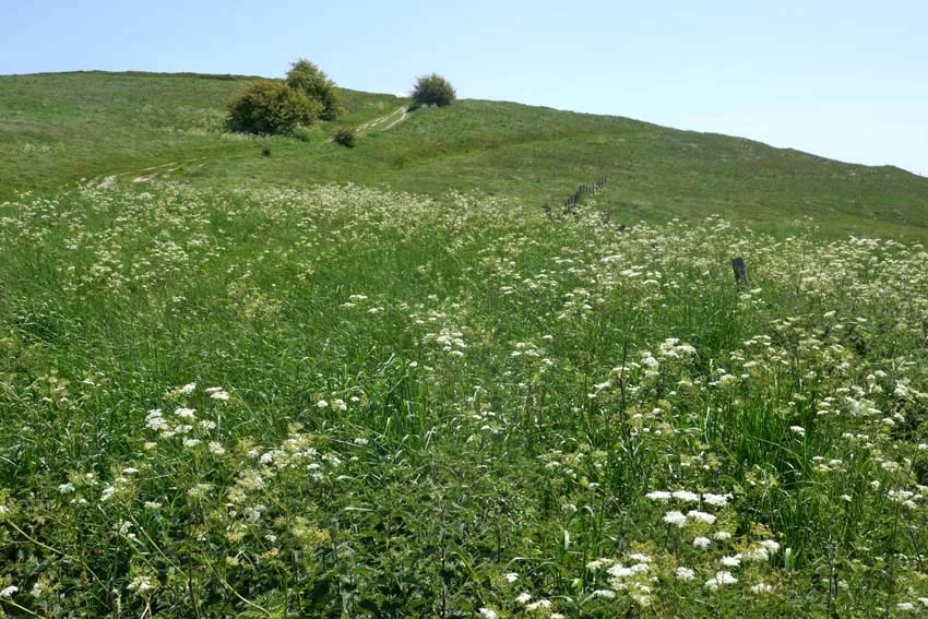
Following the Ridgeway, I made my way downhill before climbing again to the summit of Hackpen Hill, where I was relieved to find marginally cooler, patches of shade beneath the trees that crowned the top. The path levels out here, giving expansive views over Marlborough Down to the east. Here on the open down, skylarks were abundant, their clattering song cascading down from the cloudless blue. Whitethroats, blackcaps and chiffchaffs could be heard warbling unseen, wherever there were patches of hedgerow. The occasional red kite also put in an appearance. One swooped so low that I only became aware of its presence when I saw its bulky, fork-tailed shadow crossing the path in front of me. I looked up to see the bird close overhead, tail twisting to finesse its position as it checked me out, perhaps assessing if my overheated shuffling form was potential carrion in the making.
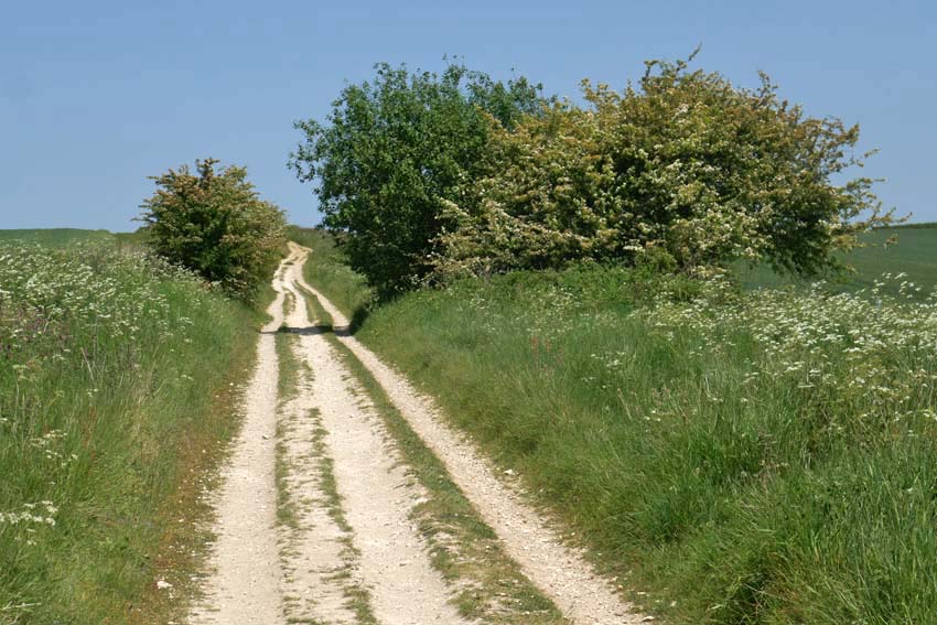
A scattering of recumbent sarsens by the wayside gave the clue that I had reached Fyfield Down. Sarsen is the name given to a locally abundant silicified form of sandstone that was formed by weathering tens of millions years ago. Fyfield Down has the largest collection of sarsens in England and it was these same stones that were used for construction of the megalithic monuments at Avebury, Stonehenge and other Neolithic sites. While here is some doubt about the name’s origin it most likely derives from a diminution of ‘Saracen stone’. Harking back to the time of the Crusades, Saracen was once a generalised term used for Muslims, which by extension came to mean almost anything that was non-Christian or pagan in character. Given their close association with ‘pagan’ monuments like Avebury and other megalithic sites it is easy enough to see how the name stuck.
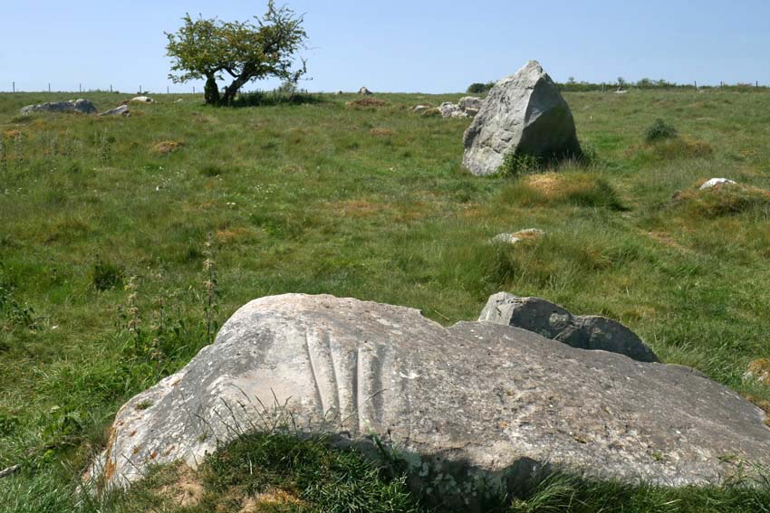
I wanted to see the so-called Polisher (or ‘polissoir’), which was marked on my map as lying a few hundred metres to the left of the Ridgeway. I found the stone easily enough by means of the tracking app on my phone and it occurred to me that here was an odd juxtaposition of technologies: using 21st century satellite technology to detect the position of something that was associated with one of the earliest tool-making techniques – the shaping of flint into blades and axes. Flint: a versatile material whose use for blade and fire-making saw early humans through two million years of slow-burn development, from the earliest hunter-gathering Palaeolithic hominids to the homo sapiens farmers and herders of the Neolithic. The Polisher was a touchstone, quite literally. With four deep parallel grooves, like the gills of a shark, this singular stone was the product of incessant sharpening and polishing of numerous hand axes in the Neolithic period. To run your fingers along these ancient grooves is to make a tangible connection with the deep past. A repository of time and undocumented prehistory, how many other fingers had done the same before? How many polished axes had been patiently and laboriously shaped here, and how many generations had passed by in the interim?
The arrival of the farming in the Neolithic came with very different requirements to the simpler hunter-gathering which had preceded it in the Mesolithic period. Forests had to be cleared to make room for crops and livestock; trees need to be felled in bulk. New technology was required: flint axes that could be attached to a shaft. As a result, Neolithic axes took on a more elongated shape, and a polishing resulted in more durable cutting edges for the work involved. What had these people thought as they worked the stone? And what was significant, if anything, about this particular spot? The archaeological evidence suggests that the Polisher had originally stood upright.
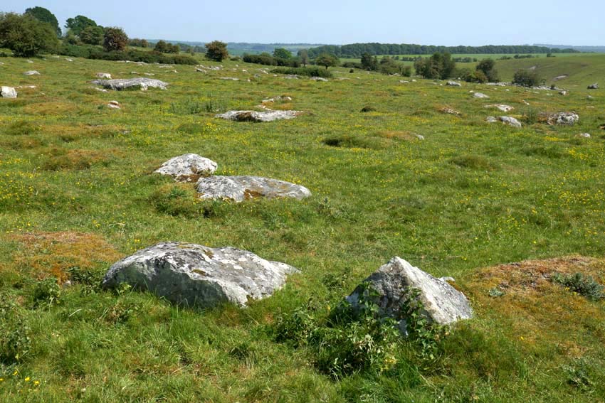
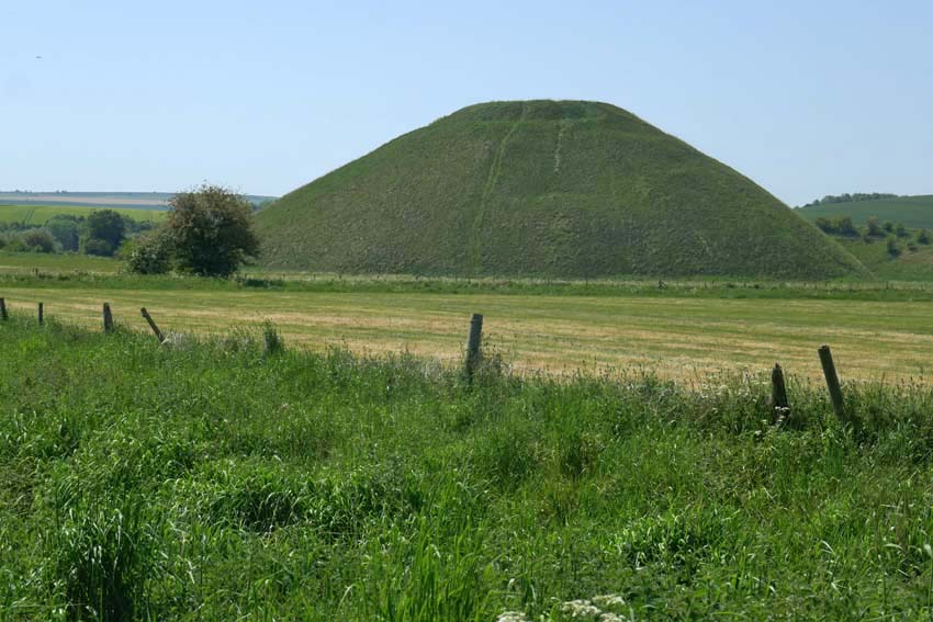
It is hard to imagine the task of stone polishing without some sort of ritual being involved – this whole landscape breathes ritual and ceremony – but perhaps that is to extrapolate too much from the little we can actually be sure of. We can probably never really know. What is certain is that during the Neolithic not all physical tasks were performed for purely practical outcomes – the Sisyphean feats of the dragging of sarsens overland to Avebury and the baffling, generation-spanning construction of nearby Silbury Hill are both testament to this. In the light of this it should also be mentioned that some especially refined polished axes, particularly those of rare exotic stone like greenstone or jadeite sourced from well beyond the local region, appear to have been made solely for ritual purposes or as value-rich objects for exchange denoting power and status.
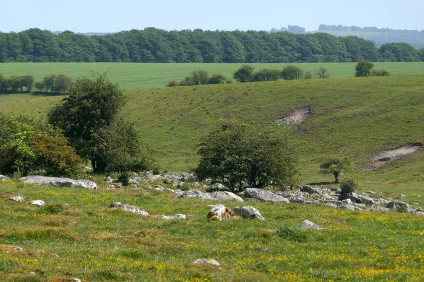
A little further on, I make another detour from the Ridgeway to venture deeper into Fyfield Down, where an extensive scattering of sarsens cover the ground. The greatest concentration of such stones in England, here they lie sprawled across the chalk grassland like tumbled dominoes. A few of them look like the sheep that they take their local name from (‘Grey Wethers’, meaning grey sheep, which they are supposed to resemble when seen from a distance).
Seeking a place to sit for a while, I squat in the thin ribbon of shade that runs alongside a fenced patch of woodland. The ground is bare of grass, churned and trodden down, and covered in dried cow shit, an indication that cattle, thankfully now absent, had recently sought much the same sort of relief from the heat. Thousands of years ago, this sarsen field must have been a hive of activity as monument-building folk selected and prepared stones for transportation to Avebury. Today it is eerily silent: not an utterance other than crow-caw and sporadic insect buzz. Even the usually omnipresent sound of distant motor traffic is spookily absent. This is Bank Holiday Monday in southern England, I remind myself one more time. Disparate thoughts coalesce awkwardly, of post-apocalyptical landscapes and prelapsarian times – it is just the heat playing tricks, of course.
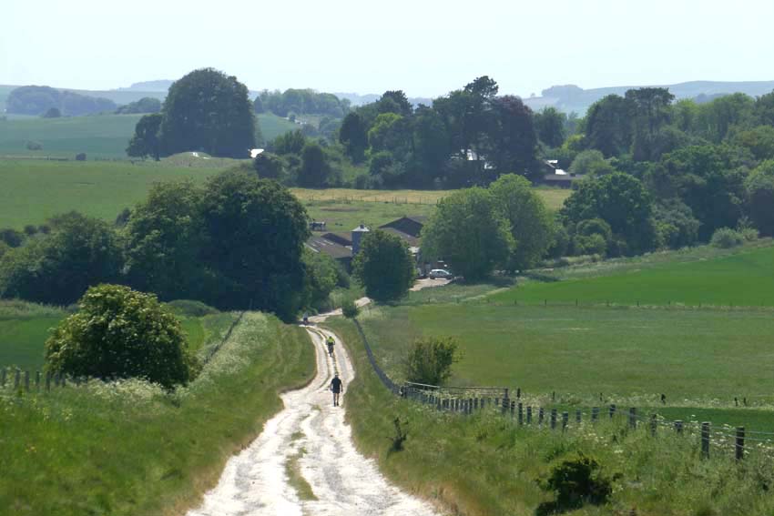
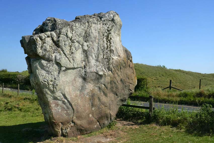
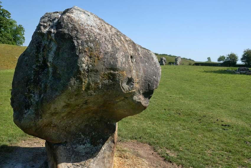
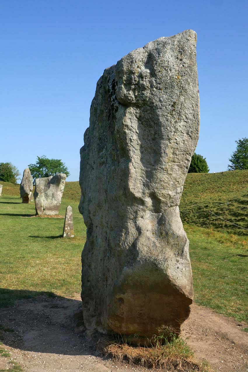
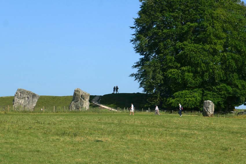
Returning to the Ridgeway I cross the path to descend into Avebury. The village can be seen ahead now, huddled in the valley bottom shrouded by trees. From this viewpoint, there is no sign of the megalithic circle that surrounds it. This does not become evident until two miles further on at the edge of the village when, after passing a few farm buildings and dusty cattle yards, I see a raised bank ahead. The first of the stones lies beyond this, over the fence – one of the many (originally 98) that constitute the outer circle. Ahead is the Red Lion, the village pub, which like most of the village cottages and the church, is unique in lying inside a Neolithic circle of megaliths. But compared to the 4,600-year-long presence of the henge, Avebury, the village, is little more than an afterthought, even if some of its construction owes a debt to the stones as conveniently-placed raw material.
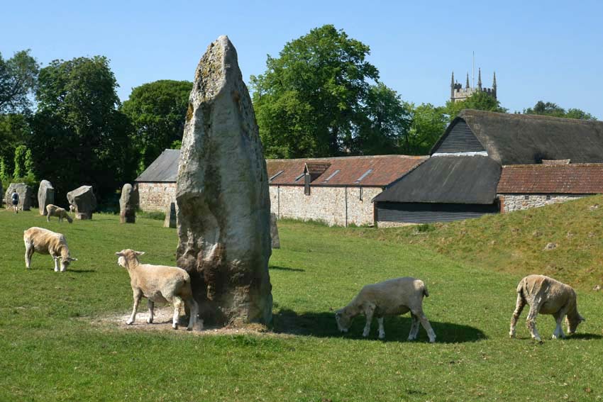
I join the stone circle from the gate by the pub and trace the megaliths as far as the English Heritage barn where there is a café. Tea, ice cream and a seat in the shade brings some welcome respite. I have about an hour until my bus to Swindon leaves and so I go off in search of Avebury’s somewhat elusive rivers. There are two, although ‘river’ is perhaps too grand a title for what are effectively narrow streams. It has been noted that several of Britain’s henge monuments are located close to the confluence of rivers*. Avebury is a case in point, as both village and henge lie just a little way east of the confluence of the River Oslip and the River Winterbourne. Here, they combine to become the River Kennet, which flows south past Silbury Hill before veering east in the direction of Marlborough. Both rivers are considered to be ‘winterbournes’, which tend to be seasonal and usually dry up in summer. One actually bears the name.
*Exploring Avebury: The Essential Guide Steve Marshall 2016
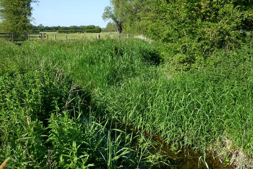
A footpath leads from the church to cross a wet meadow to the spot where the two streams combine. The Oslip has something of a flow to it, while the Winterbourne is little more than a boggy ditch. Both join at a ‘V’ thick with sedge and reed, from which emerges the incessant scratchy song of a reed warbler. In the distance I can hear a cuckoo. (I hope that the two never get to meet, but nature is what it is and who am I to judge its sometimes heartless ways?) The confluence is discernible but unimpressive. I conclude, though, that this same scene might look quite different in winter, especially after heavy rain or snow-melt when the meadows would flood.
My bus beckons. Tomorrow, I will return to pay my respects to the stones properly – they can wait another day; after all, I have been here enough times before. The henge – the village, the stones, the ditch and bank – already have a well-established place in my memory bank. Like old friends, it is always good to see them again.