Through Sarsen Fields – Avebury revisited

I had been keen to revisit Avebury for a while. This Neolithic stone circle, a World Heritage Site set within the rolling chalk country of north Wiltshire, holds a special place in my heart. This time I planned to approach it differently. Rather than just park up at the English Heritage car park and do the usual day trip thing, I wanted to arrive there on foot by way of the ancient ritual landscape that held it. I had originally intended to come three weeks earlier but the threat of prolonged rain made me postpone my visit. This time, as it turned out, I would have to contend with a very different kind of weather: the highest UK May temperatures on record.

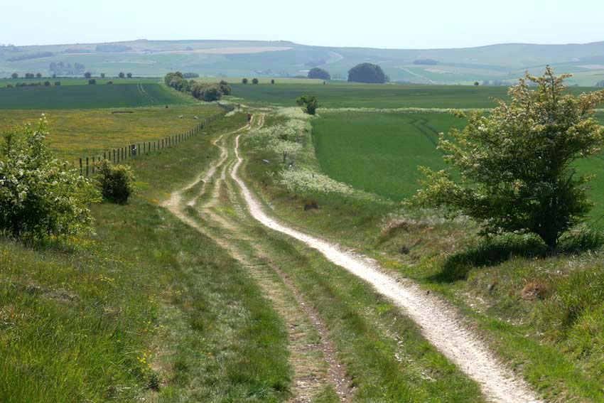
It was no doubt the unseasonably warm, 31°C degree heat that explained why the Ridgeway was almost completely deserted as I set off south along the Ridgeway towards Avebury from Barbury Castle just south of Swindon. Barbury is not actually castle at all but an Iron Age hill fort. From a drone’s-eye view it looks impressive with its double ditch and banks but on the ground there is not much to be seen other than a circle of chalky earthworks. The car park is close to the site, and a couple of families had come to fly kites on top of the raised bank, but as soon as I walked through it to continue along the Ridgeway I found myself more or less entirely alone. From this point on, I only saw a handful of walkers and cyclists all the way to Avebury – perhaps all the more surprising for a sunny Bank Holiday Monday.
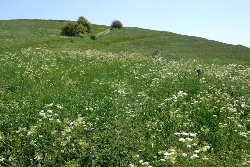
Following the Ridgeway, I made my way downhill before climbing again to the summit of Hackpen Hill, where I was relieved to find marginally cooler, patches of shade beneath the trees that crowned the top. The path levels out here, giving expansive views over Marlborough Down to the east. Here on the open down, skylarks were abundant, their clattering song cascading down from the cloudless blue. Whitethroats, blackcaps and chiffchaffs could be heard warbling unseen, wherever there were patches of hedgerow. The occasional red kite also put in an appearance. One swooped so low that I only became aware of its presence when I saw its bulky, fork-tailed shadow crossing the path in front of me. I looked up to see the bird close overhead, tail twisting to finesse its position as it checked me out, perhaps assessing if my overheated shuffling form was potential carrion in the making.
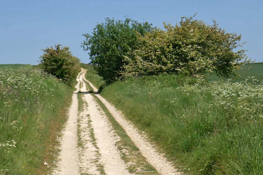
A scattering of recumbent sarsens by the wayside gave the clue that I had reached Fyfield Down. Sarsen is the name given to a locally abundant silicified form of sandstone that was formed by weathering tens of millions years ago. Fyfield Down has the largest collection of sarsens in England and it was these same stones that were used for construction of the megalithic monuments at Avebury, Stonehenge and other Neolithic sites. While here is some doubt about the name’s origin it most likely derives from a diminution of ‘Saracen stone’. Harking back to the time of the Crusades, Saracen was once a generalised term used for Muslims, which by extension came to mean almost anything that was non-Christian or pagan in character. Given their close association with ‘pagan’ monuments like Avebury and other megalithic sites it is easy enough to see how the name stuck.
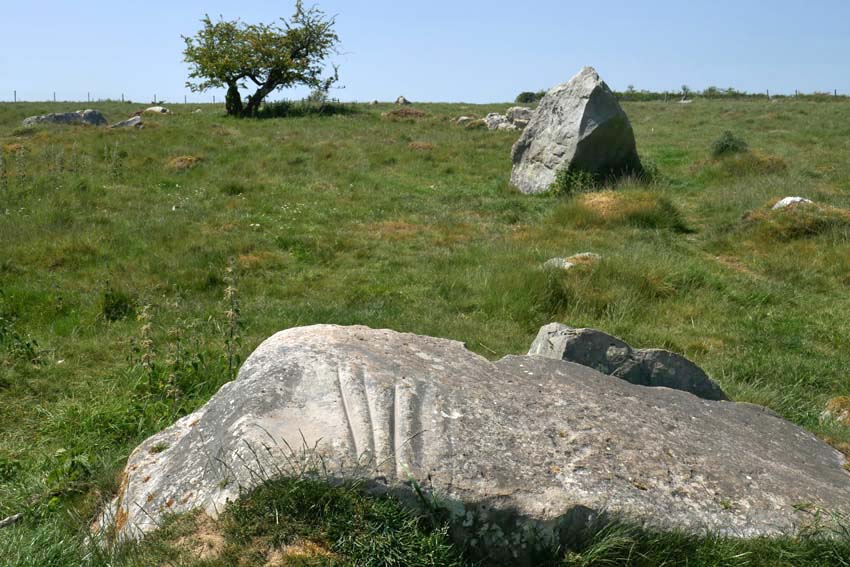
I wanted to see the so-called Polisher (or ‘polissoir’), which was marked on my map as lying a few hundred metres to the left of the Ridgeway. I found the stone easily enough by means of the tracking app on my phone and it occurred to me that here was an odd juxtaposition of technologies: using 21st century satellite technology to detect the position of something that was associated with one of the earliest tool-making techniques – the shaping of flint into blades and axes. Flint: a versatile material whose use for blade and fire-making saw early humans through two million years of slow-burn development, from the earliest hunter-gathering Palaeolithic hominids to the homo sapiens farmers and herders of the Neolithic. The Polisher was a touchstone, quite literally. With four deep parallel grooves, like the gills of a shark, this singular stone was the product of incessant sharpening and polishing of numerous hand axes in the Neolithic period. To run your fingers along these ancient grooves is to make a tangible connection with the deep past. A repository of time and undocumented prehistory, how many other fingers had done the same before? How many polished axes had been patiently and laboriously shaped here, and how many generations had passed by in the interim?

The arrival of the farming in the Neolithic came with very different requirements to the simpler hunter-gathering which had preceded it in the Mesolithic period. Forests had to be cleared to make room for crops and livestock; trees need to be felled in bulk. New technology was required: flint axes that could be attached to a shaft. As a result, Neolithic axes took on a more elongated shape, and a polishing resulted in more durable cutting edges for the work involved. What had these people thought as they worked the stone? And what was significant, if anything, about this particular spot? The archaeological evidence suggests that the Polisher had originally stood upright.
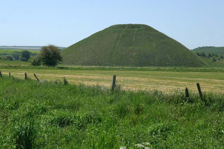
It is hard to imagine the task of stone polishing without some sort of ritual being involved – this whole landscape breathes ritual and ceremony – but perhaps that is to extrapolate too much from the little we can actually be sure of. We can probably never really know. What is certain is that during the Neolithic not all physical tasks were performed for purely practical outcomes – the Sisyphean feats of the dragging of sarsens overland to Avebury and the baffling, generation-spanning construction of nearby Silbury Hill are both testament to this. In the light of this it should also be mentioned that some especially refined polished axes, particularly those of rare exotic stone like greenstone or jadeite sourced from well beyond the local region, appear to have been made solely for ritual purposes or as value-rich objects for exchange denoting power and status.
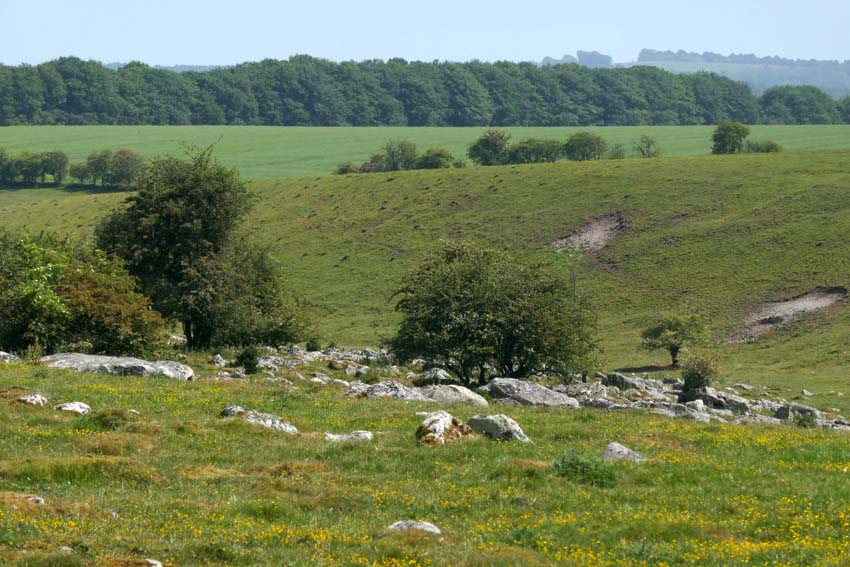
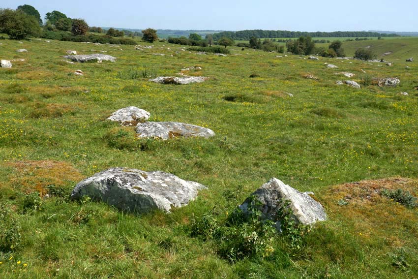
A little further on, I make another detour from the Ridgeway to venture deeper into Fyfield Down, where an extensive scattering of sarsens cover the ground. The greatest concentration of such stones in England, here they lie sprawled across the chalk grassland like tumbled dominoes. A few of them look like the sheep that they take their local name from (‘Grey Wethers’, meaning grey sheep, which they are supposed to resemble when seen from a distance).

Seeking a place to sit for a while, I squat in the thin ribbon of shade that runs alongside a fenced patch of woodland. The ground is bare of grass, churned and trodden down, and covered in dried cow shit, an indication that cattle, thankfully now absent, had recently sought much the same sort of relief from the heat. Thousands of years ago, this sarsen field must have been a hive of activity as monument-building folk selected and prepared stones for transportation to Avebury. Today it is eerily silent: not an utterance other than crow-caw and sporadic insect buzz. Even the usually omnipresent sound of distant motor traffic is spookily absent. This is Bank Holiday Monday in southern England, I remind myself one more time. Disparate thoughts coalesce awkwardly, of post-apocalyptical landscapes and prelapsarian times – it is just the heat playing tricks, of course.
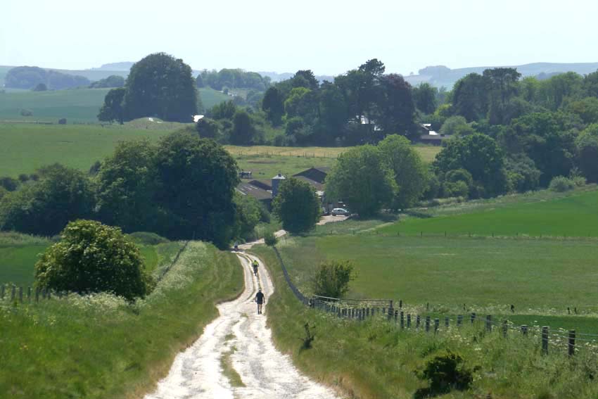
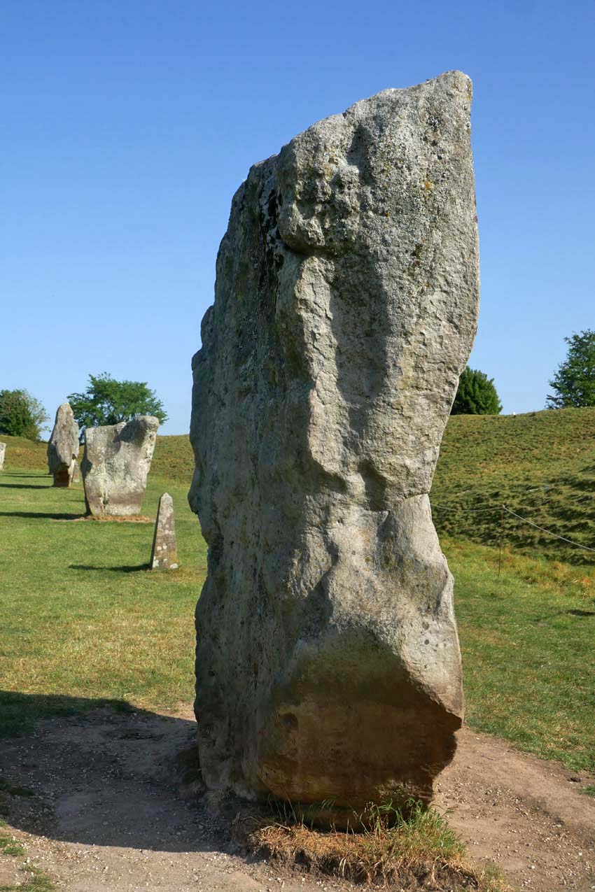
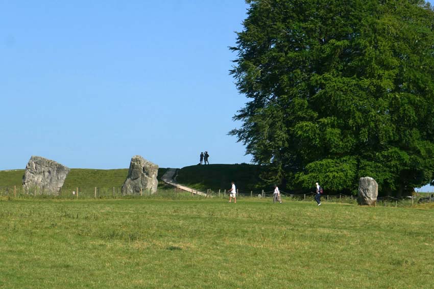
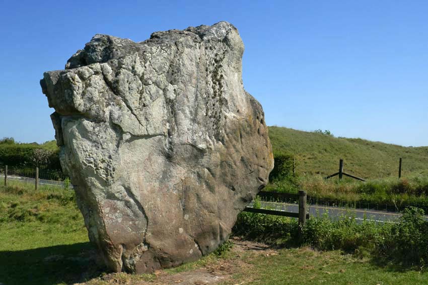
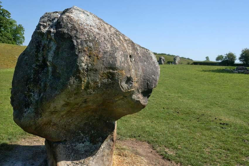
Returning to the Ridgeway I cross the path to descend into Avebury. The village can be seen ahead now, huddled in the valley bottom shrouded by trees. From this viewpoint, there is no sign of the megalithic circle that surrounds it. This does not become evident until two miles further on at the edge of the village when, after passing a few farm buildings and dusty cattle yards, I see a raised bank ahead. The first of the stones lies beyond this, over the fence – one of the many (originally 98) that constitute the outer circle. Ahead is the Red Lion, the village pub, which like most of the village cottages and the church, is unique in lying inside a Neolithic circle of megaliths. But compared to the 4,600-year-long presence of the henge, Avebury, the village, is little more than an afterthought, even if some of its construction owes a debt to the stones as conveniently-placed raw material.
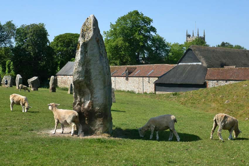
I join the stone circle from the gate by the pub and trace the megaliths as far as the English Heritage barn where there is a café. Tea, ice cream and a seat in the shade brings some welcome respite. I have about an hour until my bus to Swindon leaves and so I go off in search of Avebury’s somewhat elusive rivers. There are two, although ‘river’ is perhaps too grand a title for what are effectively narrow streams. It has been noted that several of Britain’s henge monuments are located close to the confluence of rivers*. Avebury is a case in point, as both village and henge lie just a little way east of the confluence of the River Oslip and the River Winterbourne. Here, they combine to become the River Kennet, which flows south past Silbury Hill before veering east in the direction of Marlborough. Both rivers are considered to be ‘winterbournes’, which tend to be seasonal and usually dry up in summer. One actually bears the name.

*Exploring Avebury: The Essential Guide Steve Marshall 2016
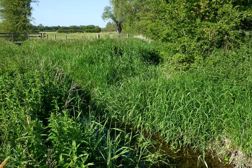
A footpath leads from the church to cross a wet meadow to the spot where the two streams combine. The Oslip has something of a flow to it, while the Winterbourne is little more than a boggy ditch. Both join at a ‘V’ thick with sedge and reed, from which emerges the incessant scratchy song of a reed warbler. In the distance I can hear a cuckoo. (I hope that the two never get to meet, but nature is what it is and who am I to judge its sometimes heartless ways?)  The confluence is discernible but unimpressive. I conclude, though, that this same scene might look quite different in winter, especially after heavy rain or snow-melt when the meadows would flood.

My bus beckons. Tomorrow, I will return to pay my respects to the stones properly – they can wait another day; after all, I have been here enough times before. The henge – the village, the stones, the ditch and bank – already have a well-established place in my memory bank. Like old friends, it is always good to see them again.
Isfahan: Half the World

Esfahan nasf-e jahan est (‘Isfahan is half the world’)

‘… and rank Isfahan among those rarer places, like Athens and Rome, which are the common refreshment of humanity.’ Robert Byron The Road to Oxiana

Isfahan, so the Persian phrase goes, is ‘half the world’. This, the third largest city in Iran, has quite a reputation to live up to. But it doesn’t disappoint. I was there in 2008, which I realise, somewhat astonished, was almost two decades ago. It really doesn’t feel that long since my visit but perhaps that is a consequence of the increasingly capricious nature of time as those of my generation navigate the autumn of our lives.

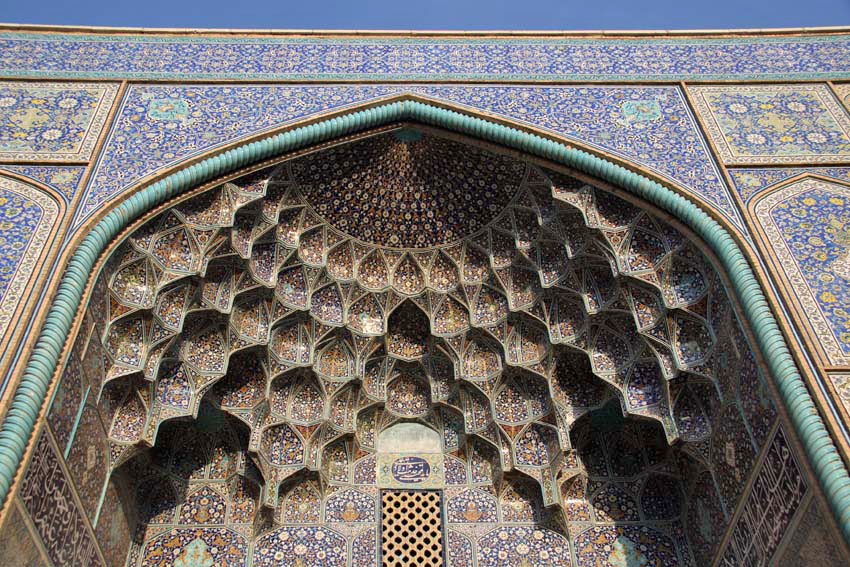
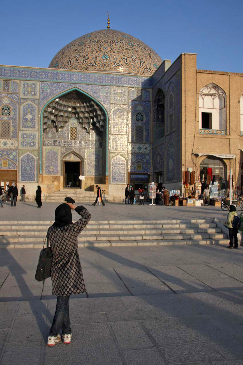
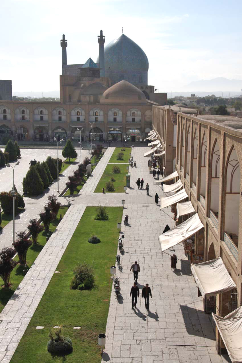
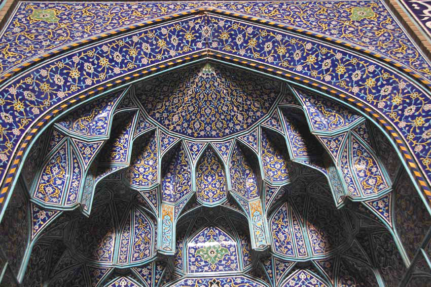
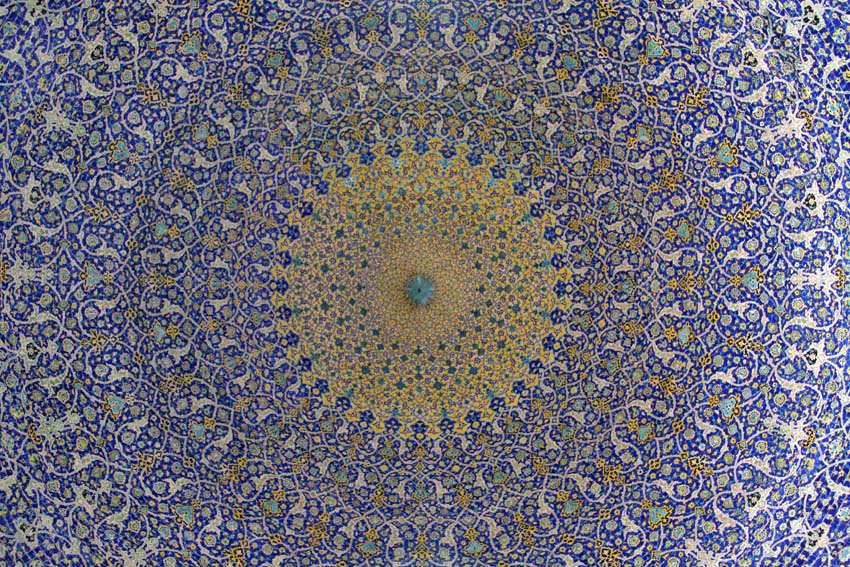
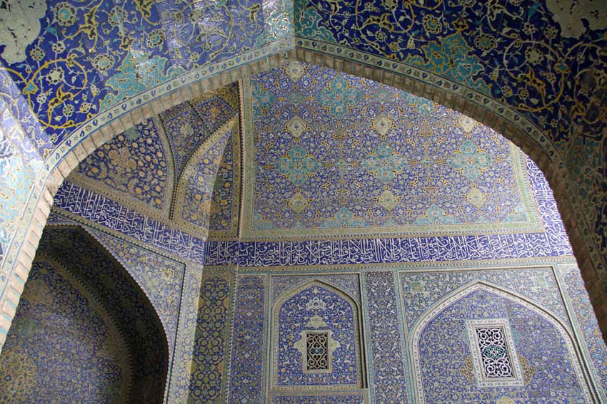
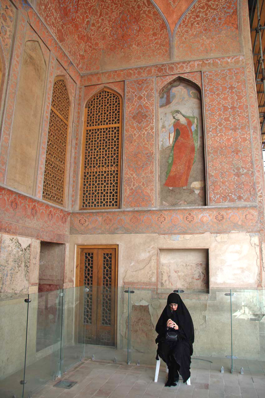
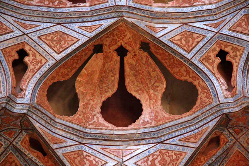
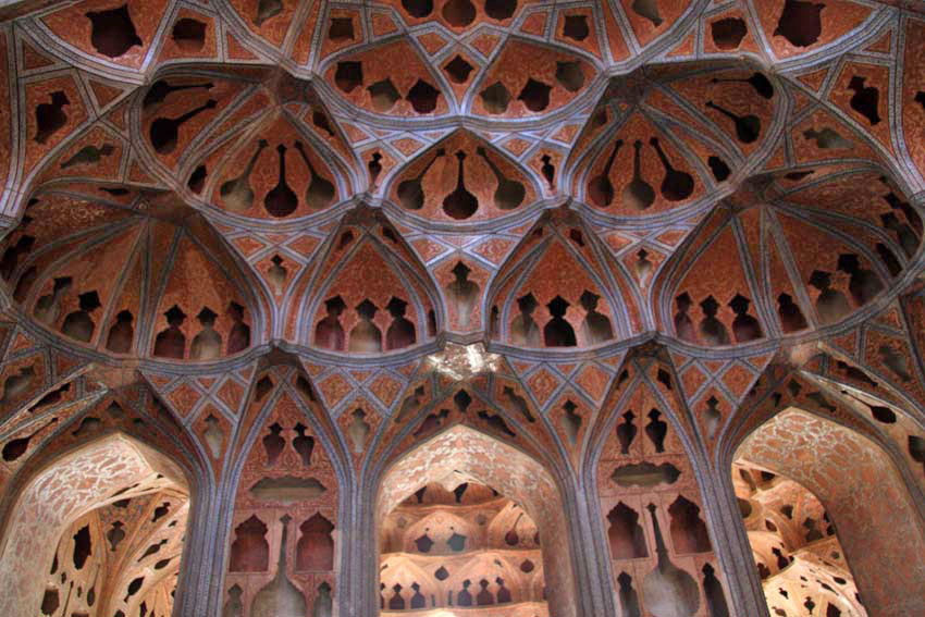
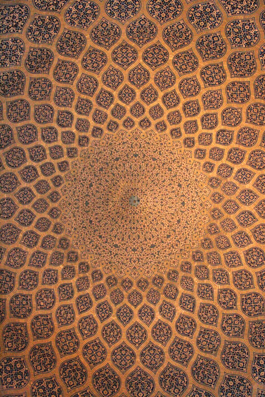
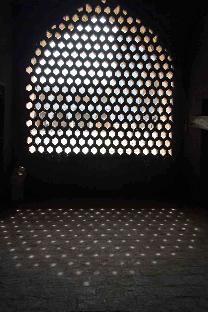
Isfahan, perhaps more than most places, lingers long in the memory – for its beauty, for its timeless grace. It’s enormous central square, a UNESCO World Heritage Site called Naqsh-e jahan, is an airy expanse of fountains and flower beds around which are arranged some of the most beautiful buildings you may ever see: the Ali Qapu palace, the Shah Abbas Mosque and the sublime Sheikh Lotfollah mosque. These all date back to the glory days of the Safavids, whose ruler Abbas the Great, made Isfahan the Persian capital.

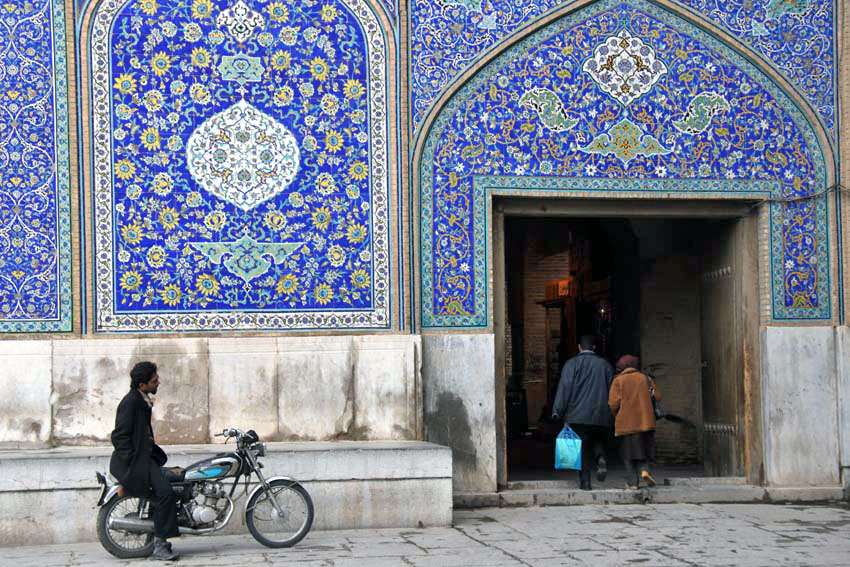
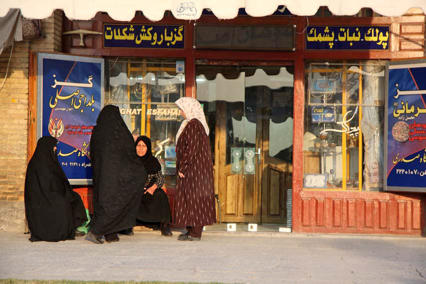
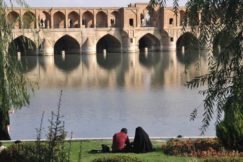
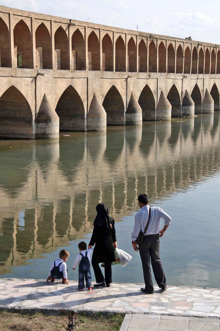
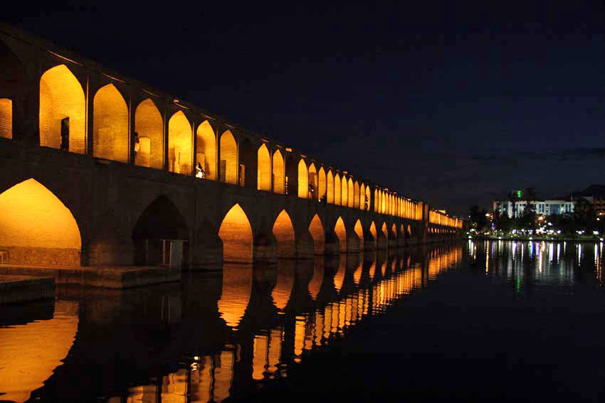
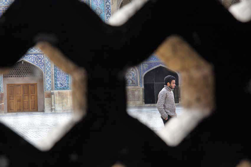
Elsewhere is the picture-perfect, 33-arched Si-o-se pol bridge, which, like the square, is another favoured location for Isfahan’s citizens to sit and drink in the beauty of their city. And they do – young lovers, groups of middle-aged women, young families, old men. It is the memory of these people – ordinary citizens, proud of their city and ancient Persian heritage (whatever their opinion of the current theocratic administration) – that stays with me as much as the memory of its exquisite blue architecture. Their country – Persia/Iran – is one of the world’s oldest continuous civilisations. Through the ages it has seen off invaders like Arabs, Mongols and Alexander the Great’s Macedonians. Once it built the glory of Persepolis. Once it worshipped fire. And one of its cities might still be considered to be half the world. As Robert Byron said, Isfahan serves for ‘the ‘common refreshment of humanity’. Long may it continue to do so.

Dudley Ay It

We were driving home from North Wales, and it is a long way to East Anglia from there. So we were looking for a break in the journey somewhere: a place to rest overnight before A14-ing onwards to Norwich? While it might not be everybody’s destination of choice, Dudley, de facto capital of England’s Black Country, has some points in its favour, its West Midlands location midway between coasts being one of them. Besides, I wanted to have a look at Wren’s Nest, the geopark on the town outskirts, where all manner of weird and wonderful fossils from the Silurian period might be found.

I had been here before, several years earlier, a brief stop on a coast to coast pilgrimage that I wrote about in my book Westering. Back then I had passed through Dudley as I traced my way through the Birmingham – Black Country conurbation by way of its extensive canal network; an interesting route, although Venice didn’t spring very much to mind as I traipsed westwards through a decayed, post-industrial landscape.

I wrote then:

I arrived at a large, five-way roundabout and a dual-carriageway, which I followed further uphill towards Dudley Castle, which I could see, noble but not entirely fairytale, flying its flag on top of the hill ahead. The next roundabout held several large, Black Country-themed sculptures: a steel crucible, bronze cannon, heraldic lion and medieval plough. It looked as if Dudley was doing its best to make the most of its industrial heritage.  I wanted to take a closer look but was stuck on the wrong side of the dual carriageway with no safe means of crossing. Eventually, I spotted a footbridge ahead that conveniently led me straight to Dudley’s bus station at the foot of Castle Hill, an outcrop of the Wenlock Group limestone that had played a significant part in the town’s industrial development.

This time, coming from Wales by way of Shrewsbury and Telford, we came upon this same roundabout as we were driving around looking for the hotel we had booked for the night. Travelodge found, and bags deposited, we went off in search of food and drink. A peremptory Google search of the vicinity revealed a pub close to the castle that might be a possibility but when we arrived at the Fellows things didn’t look very promising. A tribute singer was belting out a cover of Red Red Wine by UB40 at deafening volume and the courtyard was packed with smokers who were intent on avoiding the aural onslaught inside. Besides, it was Sunday evening and the availability of lunchtime roasts had been and gone. It looked as if we would have to try elsewhere.

On the way up to the Fellows we had passed an even more unpromising establishment on Castle Hill, a single-roomed place that called itself the Star Bar, which resembled more a garage lock-up than a place for food and drink, although the former was clearly available as boisterous yam yam* voices echoed from behind it half-closed metal portal. Also on Castle Hill was a once-splendid Art Deco cinema that now served as a Jehovah’s Witness Kingdom Hall. Next door, a Tudor Gothic pile had similarly been converted to serve as a place of worship for the town’s Muslim community: Dudley Central Mosque. The building, I found out later, was Grade II-listed and had once been a school.

* yam yam = Black Country dialect

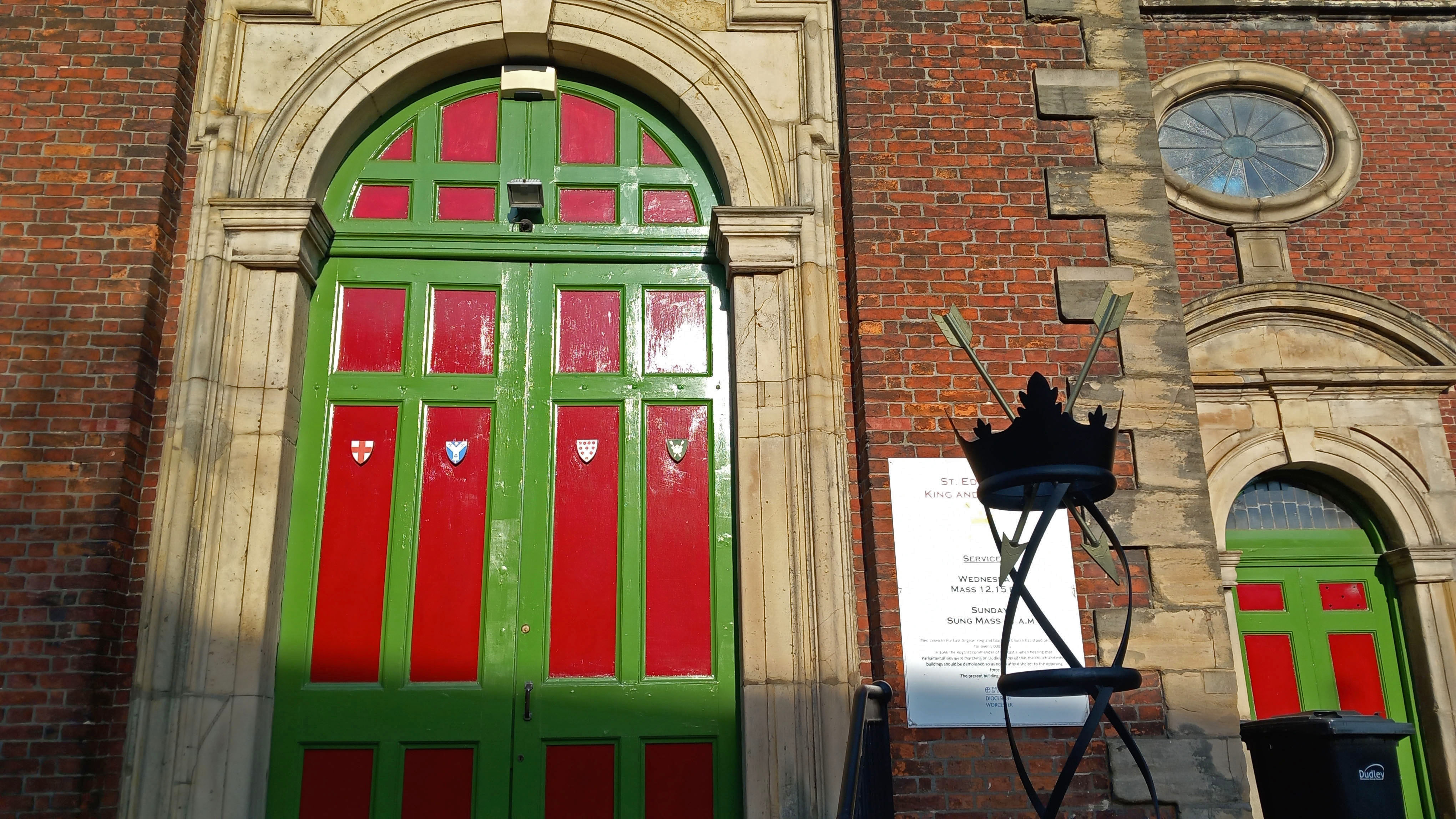
Across the road from the Fellows, a grand statue of the First Earl of Dudley stood at the top of the town’s pedestrianised shopping zone and market place. A little further on we passed St Edmund’s Church, an 18th-century replacement of earlier place of worship of Anglo-Saxon origin destroyed in the Civil War. To symbolise its dedication, twin crowns and the arrows of the saint’s martyrdom were on display in front of the church entrance.

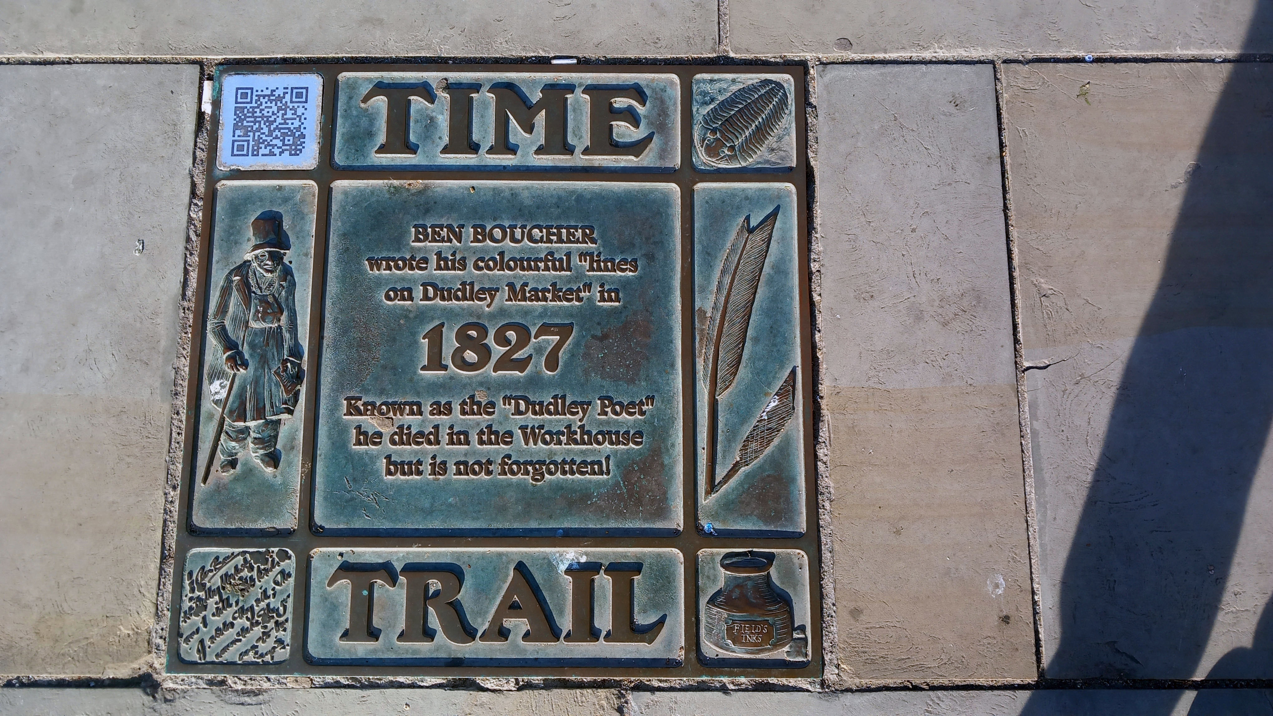
This being Sunday evening, the area was largely deserted; its market stalls locked up, although some of the shop fronts gave the impression of having been closed up for some time. There were several interesting statues scattered about to restore some sense of civic pride. Most notable of these was that of local football hero Duncan Edwards. Born in Dudley in 1936, Edwards had been a Manchester United ‘Busby Babe’ and highly respected England defender before dying tragically, aged just 21, from injuries sustained in the 1958 Munich Air Disaster. Further down, just beyond the market place, was a life-size bronze statue of a top-hatted Victorian gentleman sitting on a bench: the poet Ben Boucher (1769 – 1851), who wrote ‘Lines on Dudley Market’, some of which were etched into the curved Portland stone bench. While Boucher lived a much longer life than the unfortunate footballer, the Dudley Poet’s own sad fate was to end up impoverished in the town workhouse.

This brief glimpse of the town centre reinforced the impression I had taken from my previous visit: one of decline and closure, one of faded glory. The re-purposing of grand old buildings; the closure of town centre shops and department stores – out-competed ever since the opening of Merry Hill Shopping Centre at nearby Brierley Hill towards the end of the last century. Counter to this sense of decline were the upbeat Town Trail pavement plaques that told with pride the town’s unique geological and industrial history. It was here in the Black Country that the Industrial Revolution had originated and then swiftly gained momentum in the late 18th century. A serendipitous convergence of factors had come into play. The area had all the necessary raw materials – coal, limestone and iron ore. It had – or, rather, soon acquired – the labour, skills and engineering talent. It also had the means of distribution – canals, and later railways. It could even be argued that the Anthropocene – the recent epoch in which human activity has been the dominant factor in changing the world around us – began hereabouts. I touch upon this in the final chapter of my recent book Flint Country, where I write:

The precise date of its onset remains a matter of debate. James Lovecock, originator of the Gaia concept, claims that the Anthropocene started with the Industrial Revolution in the early nineteenth century, the period in modern history when the use of fossil fuels for manufacturing and transport got fully underway. Fine-tuning this connection between the dominance of human influence and technological progress, it could even be said that the Anthropocene began with the invention of Thomas Newcomen’s steam-powered pump, a machine first used to remove water from a coal mine near Dudley in the English Black Country in 1712.

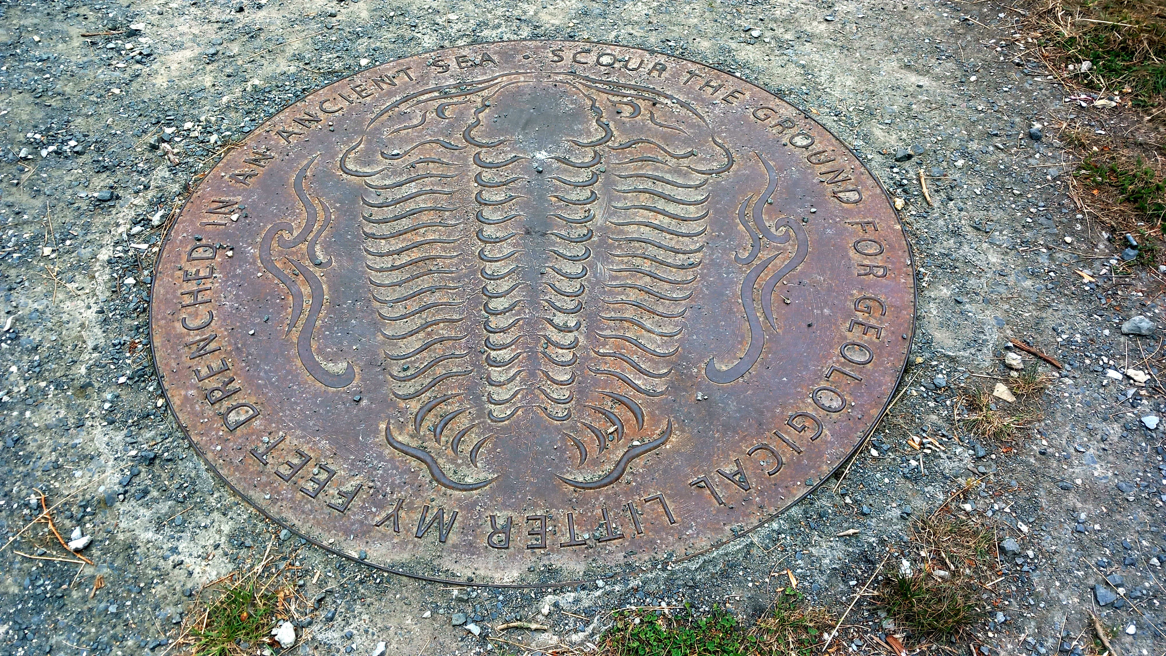
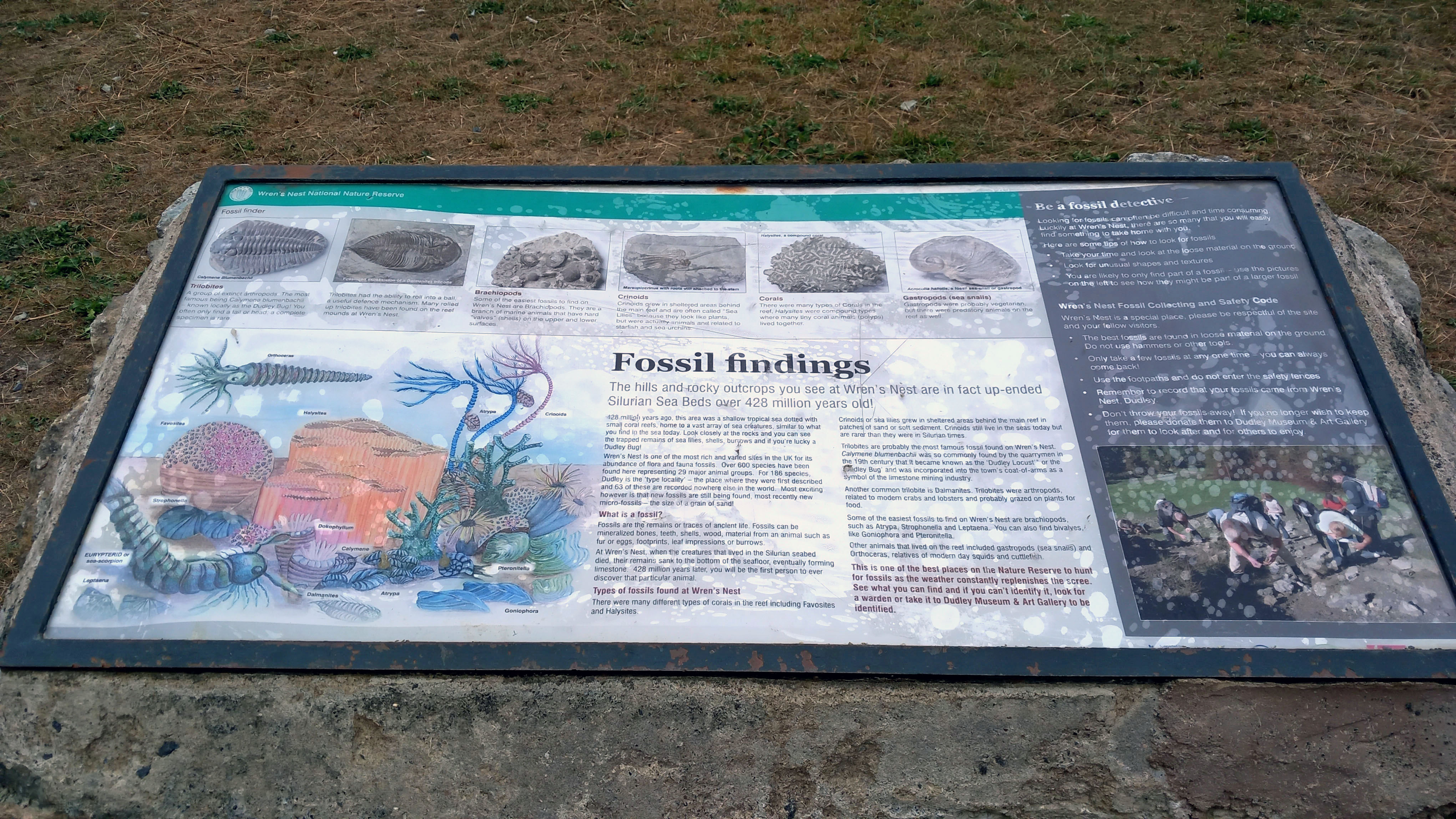
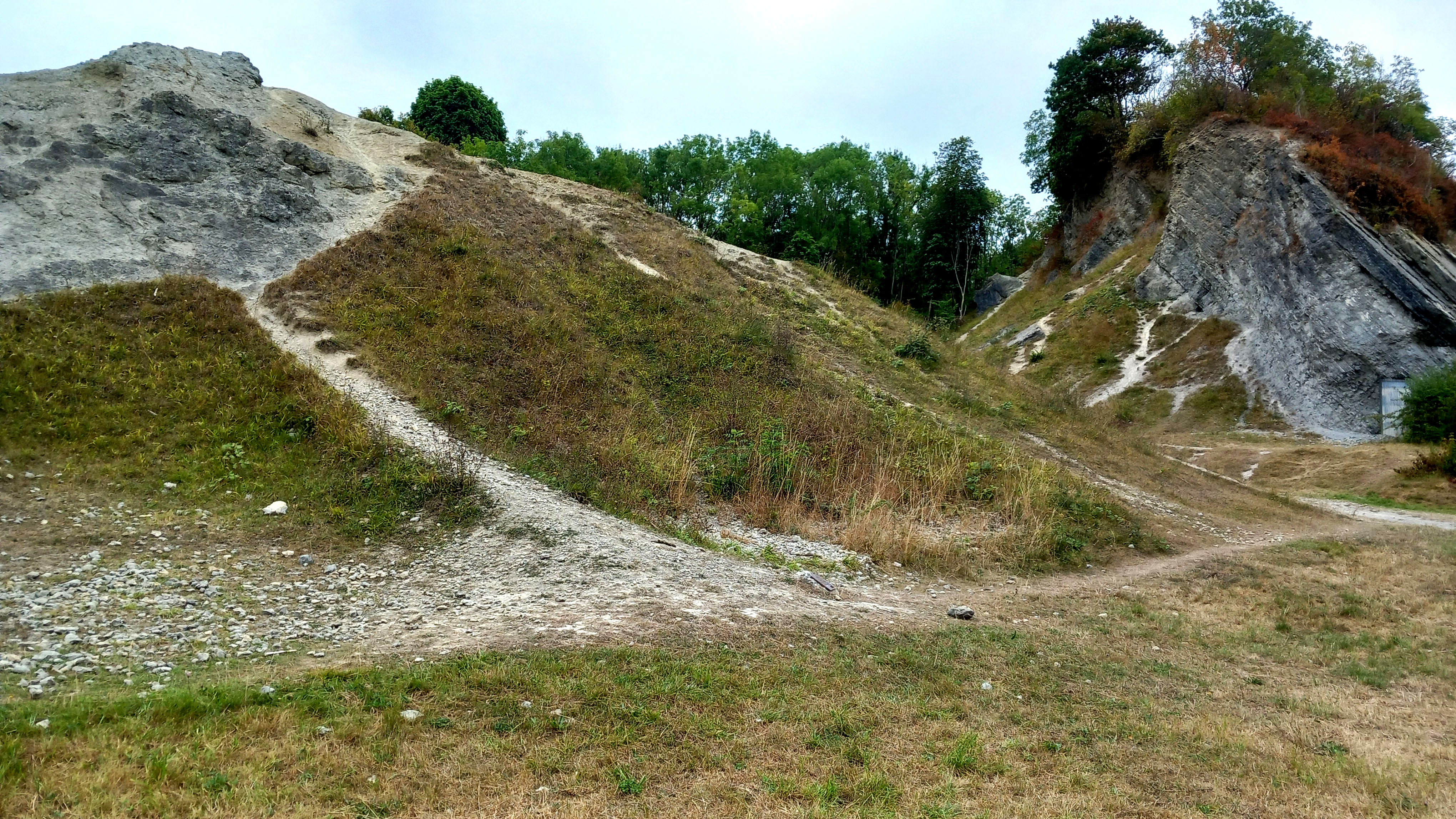
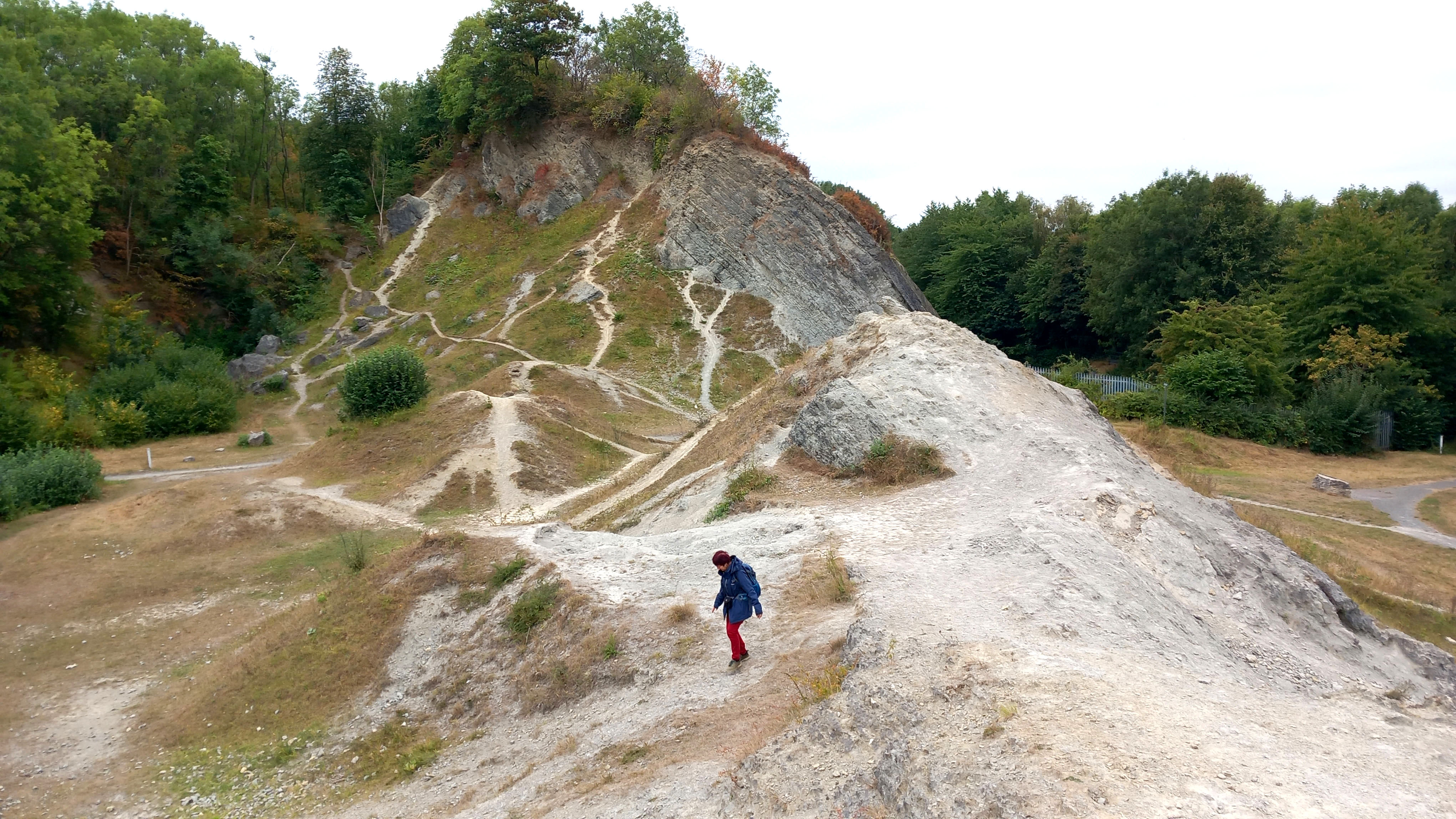
Next morning we made our way to Wren’s Nest, where I noticed that the suburban streets approaching the site had pleasingly apposite names like Silurian Mews and Fossil View. It was a grey, overcast, not-very-warm-for-August sort of day, and the site was fairly quiet apart from a couple of dog-walkers and kids on bikes. At the entrance, an information board gave us the lowdown on the site’s remarkable geological pedigree. Wren’s Nest is effectively a 428 million-year-old tropical seabed that was once covered by coral reefs and uplifted within the Much Wenlock limestone that gifted this region its industrial resources.

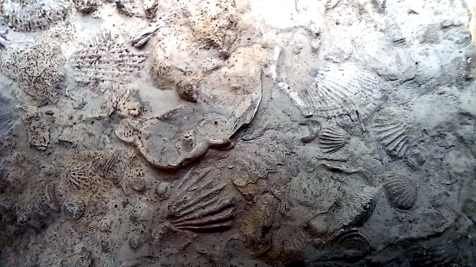
The prize fossil here is a species of trilobite, Calymene bumenbachii, known colloquially as the ‘Dudley Bug’, which looks like a scarily, super-sized woodlice, although it is more closely related to modern day crabs. To find one of these would have made me very happy but they proved to be elusive. What I did find after an hour and a half of turning over scree were several bits of coral and all manner of fossilised brachiopod shells. Best of all was a small flat piece of rock embedded with dozens of tiny shells: a fragment of ancient sea floor that revealed a microcosm of life 428 million years ago, a time when the existing continents were yet to separate and the territory of what would become the British Isles lay south of the Equator. To contemplate such scales of time and distance takes the breath away. William Blake wrote of seeing ‘the world in a grain of sand’. Here you could see a long-vanished world in a small piece of rock.

We left the car park and drove northeast through Tipton and Wednesbury to reach the M6 with its relentless parade of thundering traffic. It was a timely reminder that we were now firmly back in the age of man and machine, the Anthropocene. In comparison with the aeons that had passed since the fossils of Wren’s Nest were deposited at the bottom of a tropical ocean, the 19th-century heyday of the Industrial Revolution in the Black Country with its smoke, red-sky furnaces and metal-clanging workshops was as if just yesterday.

Flint Country by FabFourBlog

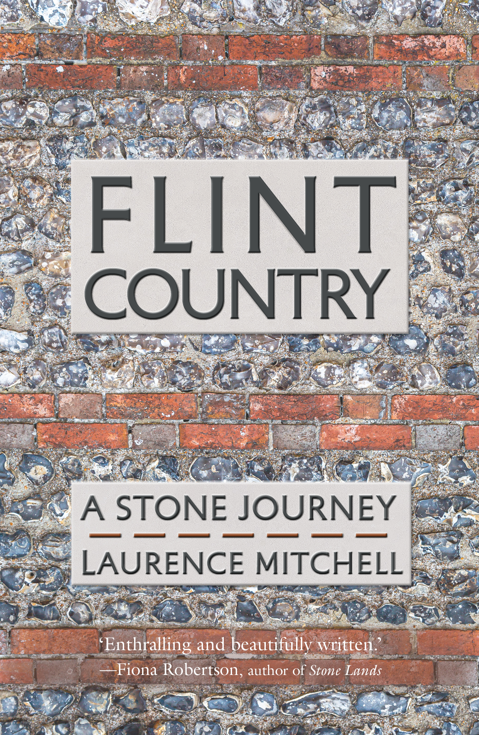
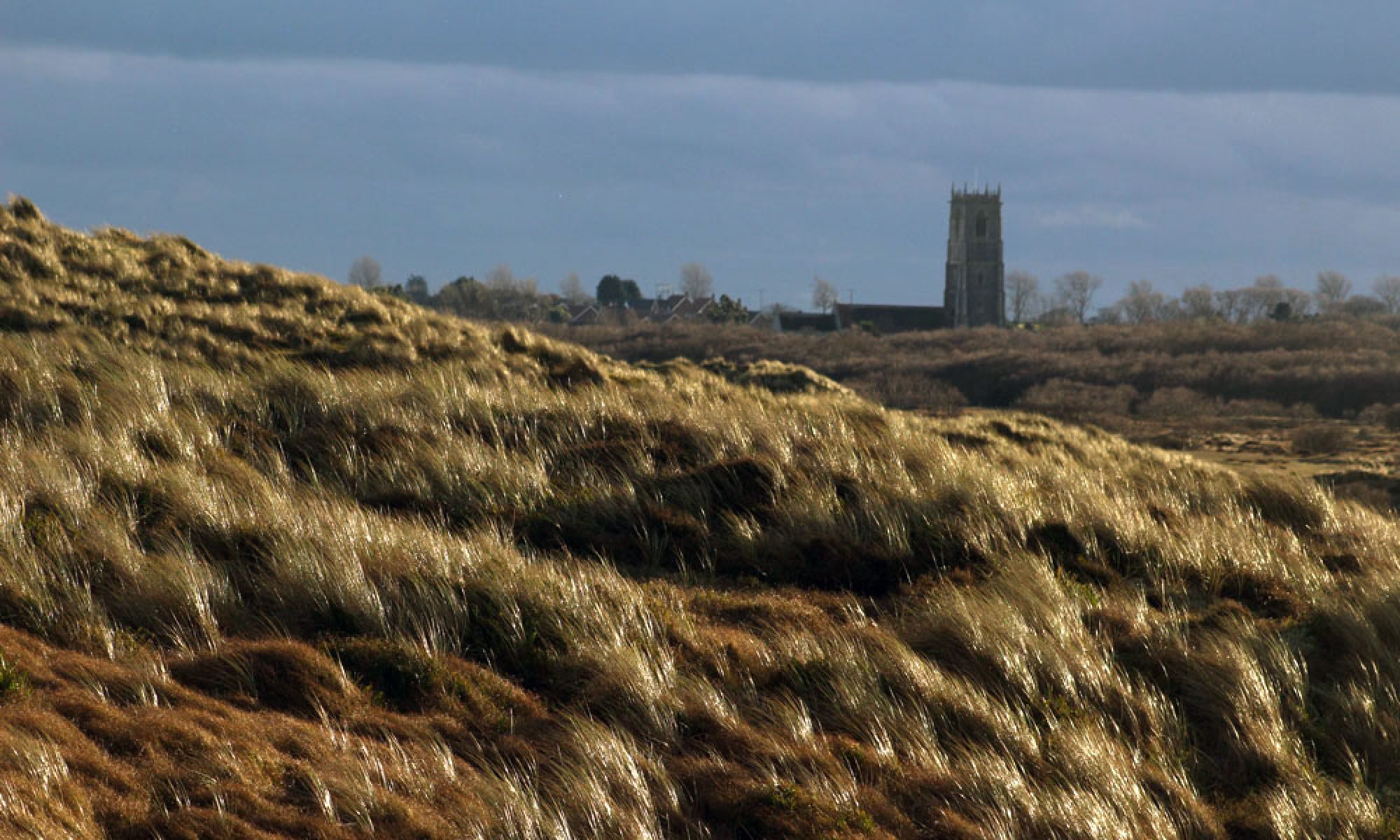
My latest book Flint Country was published a couple of weeks ago. I would just like to share this generous blog post about it by Klausbernd Vollmar and Hanne Siebers. It also includes some of Hanne’s lovely images of Cley next the Sea on the North Norfolk coast.