Chalk to Church exhibition, St Margaret’s Gallery, Norwich

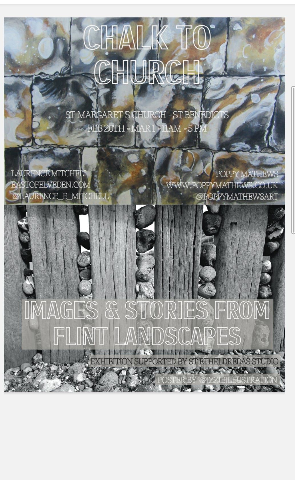
I am currently involved in an art exhibition at St Margaret’s Gallery, St Benedicts St, Norwich. The exhibition is mixed media, with paintings by Poppy Mathews (@poppymathewsart) and photographs and text by me. It is all very flint-themed and, for my part at least, relates closely to my recent book. Some of the text is taken from the book, Flint Country; some was written specifically for the exhibition.

Here is a small sample of what you can see at the exhibition. Of course, if you just happen to find yourself in the Norwich area over the next week then please drop in to have a look. Chalk to Church is open 11.00-17.00 daily and will run until Sunday, March 1st.

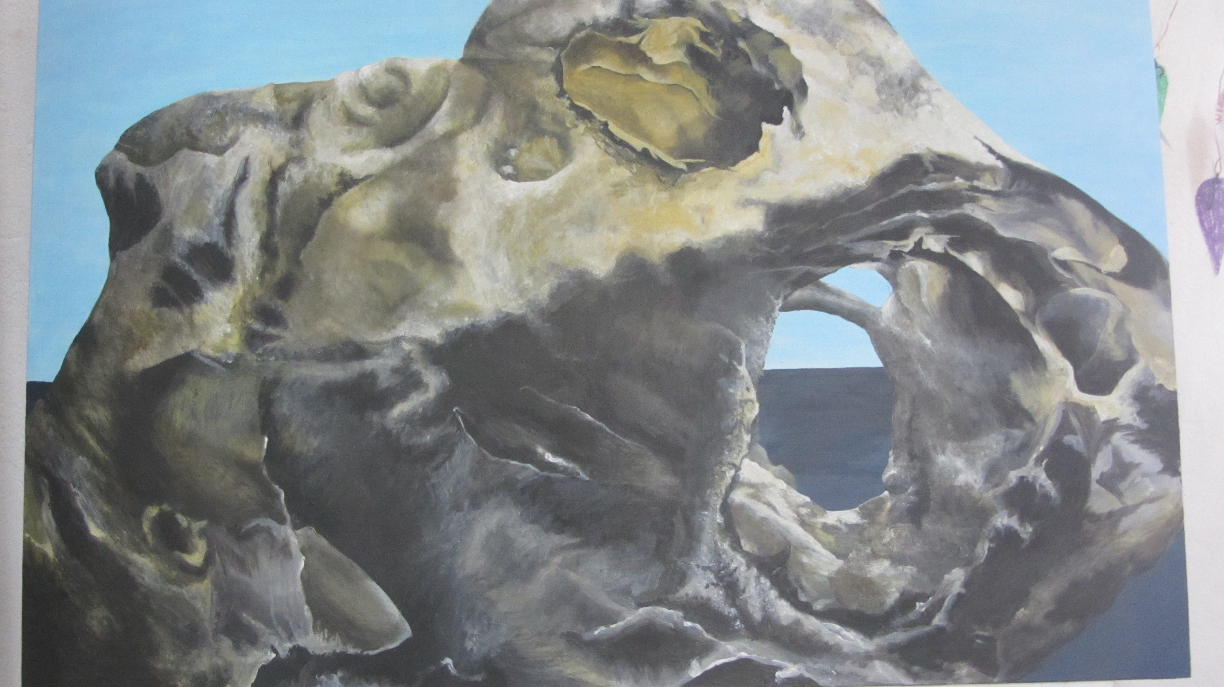
Flint 1 – Poppy Mathews

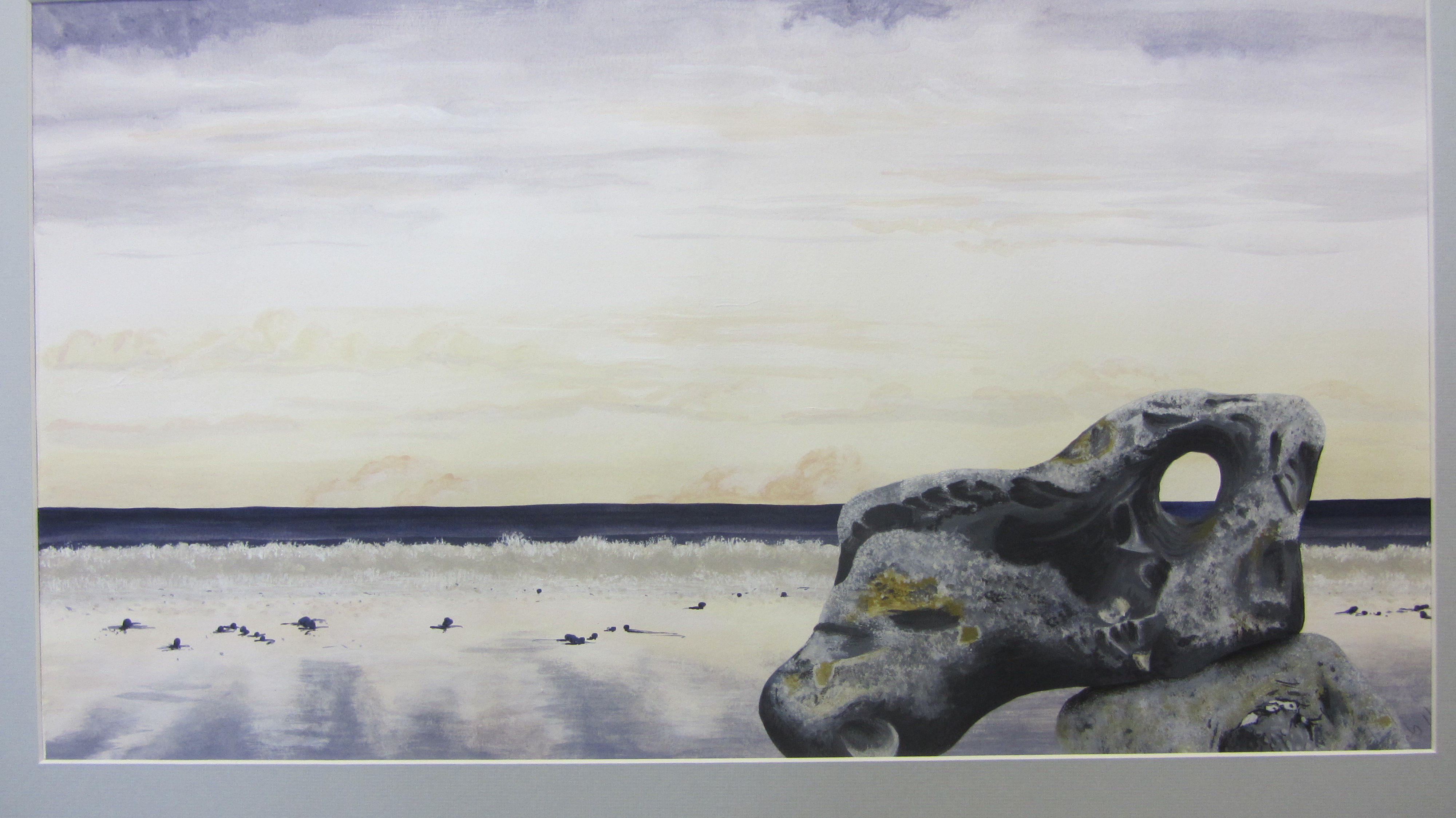
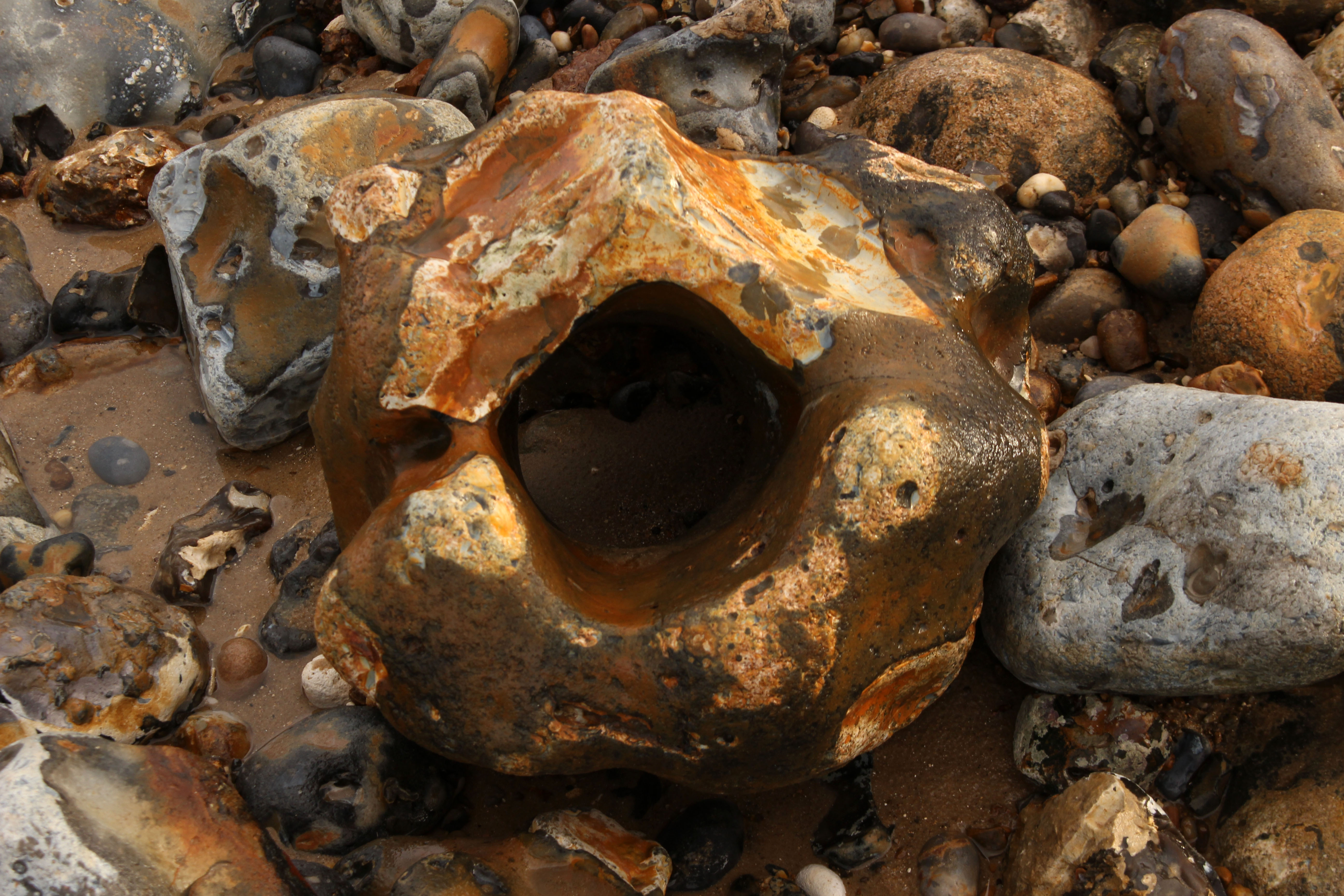
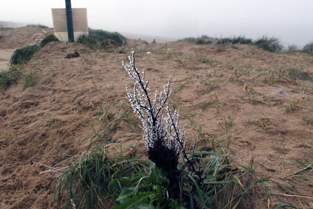
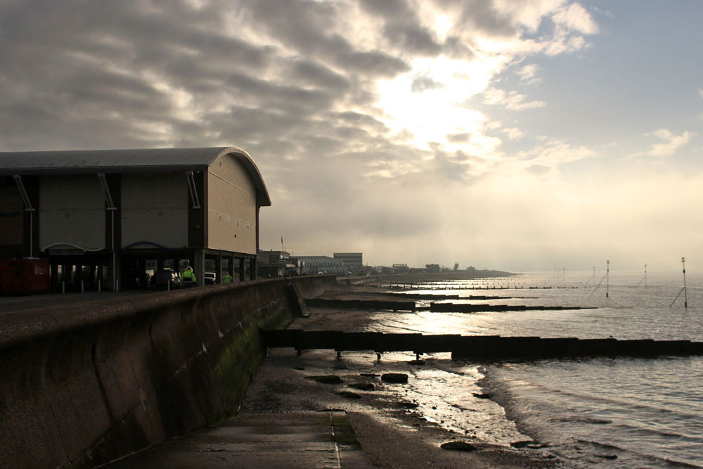
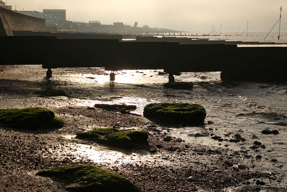
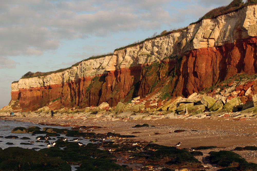
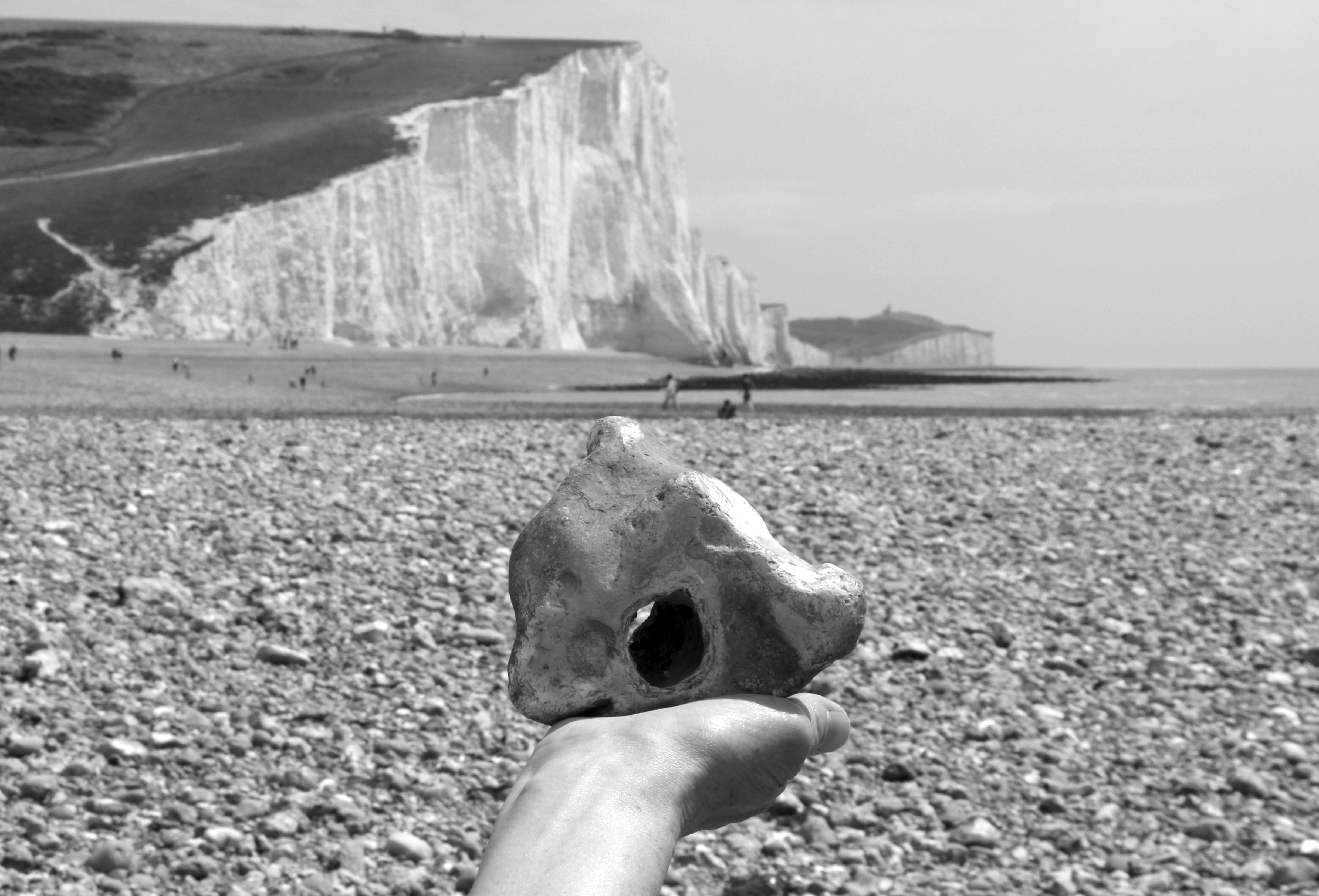
Paramoudras, West Runton Beach, Norfolk

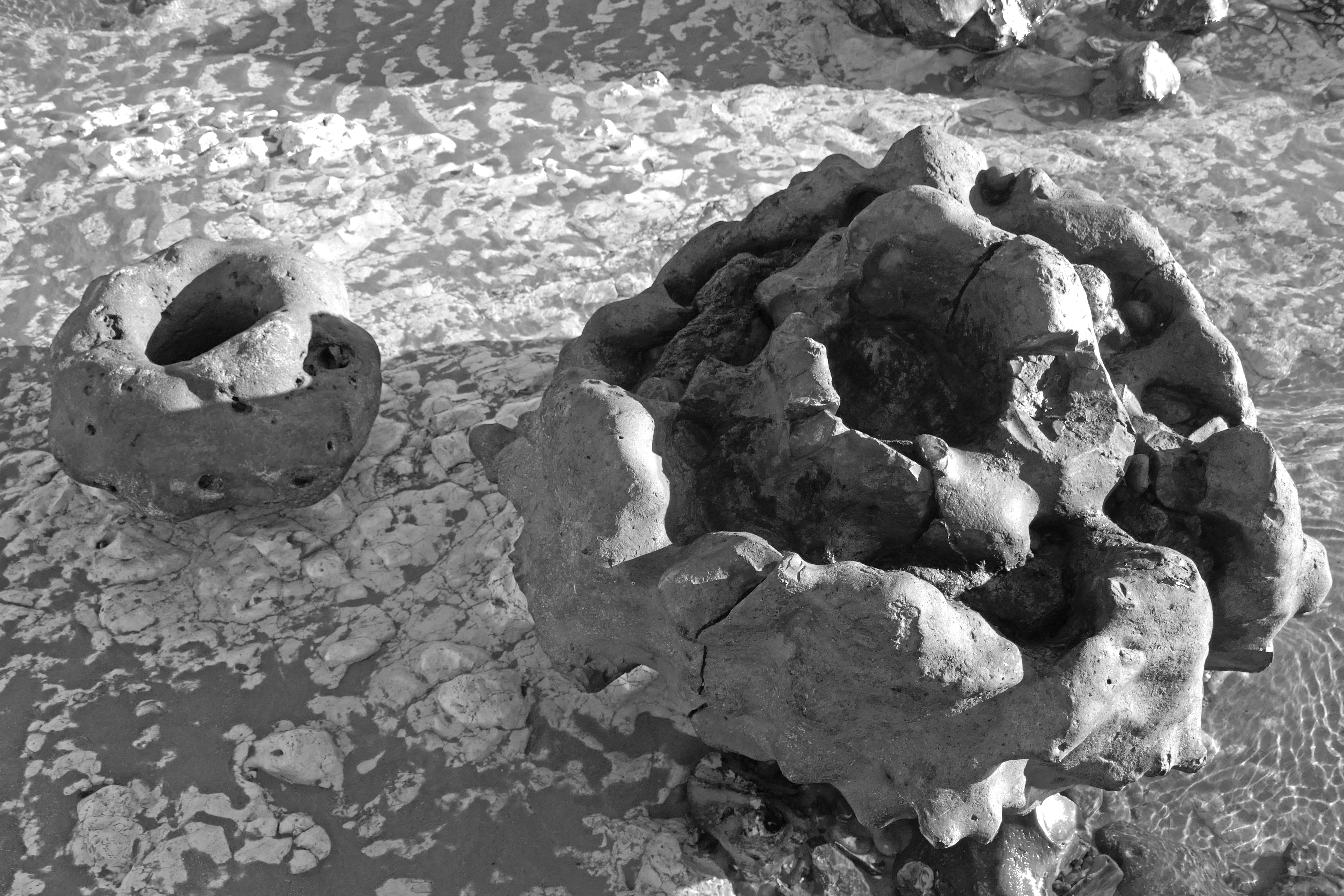
Flint sometimes naturally takes the shape of a nest-like structure in the form of a paramoudra. It is the sort of nest that you might imagine a small dragon laying a clutch of eggs in.

Many of the larger flints that lay scattered were paramoudra – tubular in shape and either hollow in the middle or filled with chalk like a sculptured vol-au-vent.

The name paramoudra is Irish, deriving from the Gaelic peura muireach, meaning ‘sea pears’. They have also been called ‘ugly Paddies’ in the past, which seems a little harsh, even racist. They are beautiful in their own way. Their Norfolk name of ‘potstones’ makes more sense, as some of the better formed ones could easily be adapted to serve as plant containers. Paramoudra, like all flints, are actually pseudofossils. They are generally thought to be fossilised barrel sponges but the precise process of their formation is not fully understood.

Flint Country

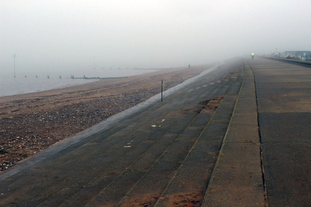
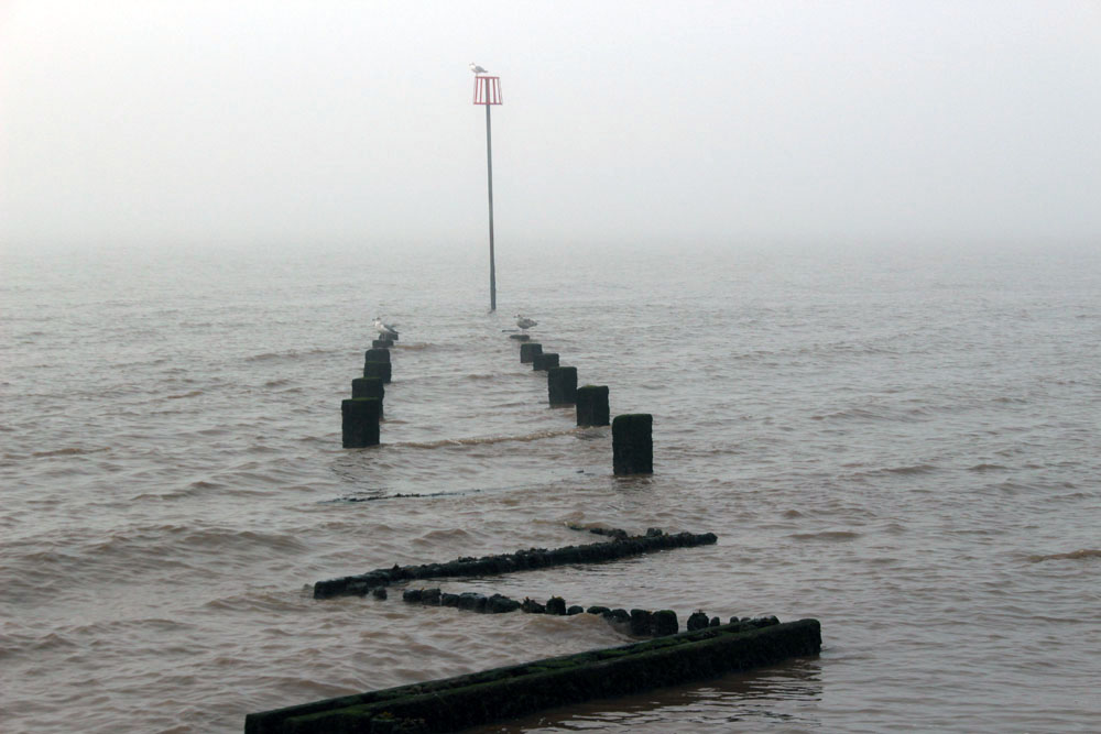
Orford Ness, Suffolk

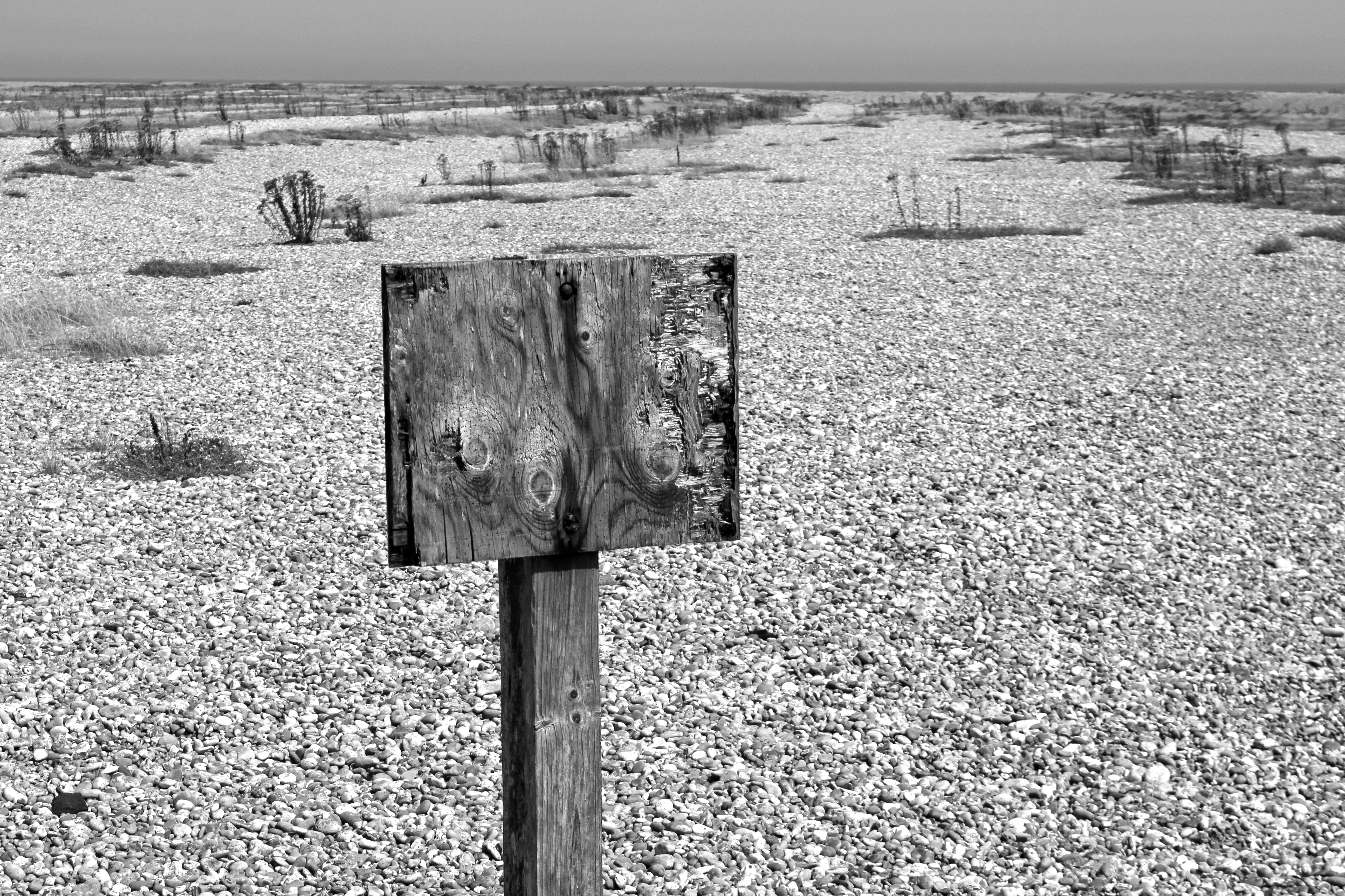
A warning, its message lost to the shingle

Stray Cold War ordnance? Or tide?

This secret place, its geography both cause and effect

A zone of intrigue, longshore drift and flint music

Liminal, littoral, literal

A spit that resembles an island yet is called a ‘ness’ – an Anglo-Saxon word for ‘nose’ that describes a headland or promontory – Orford Ness is a luminous landscape of shingle, birds and secrecy.  A one-time top secret weapons testing site, it continues to exude an air of secrecy sufficient to make even the modern-day visitor feel as if that they are standing on forbidden territory. Its former exclusion from the public gaze is now part of its appeal but, even without this, Orford Ness is a highly evocative sort of place. In recent years, the spit’s unique combination of dark history and melancholy landscape has resulted in it becoming a holy ground for a particularly niche variety of art and literature. All have tried to tap into the Ness’s peculiar genius loci.
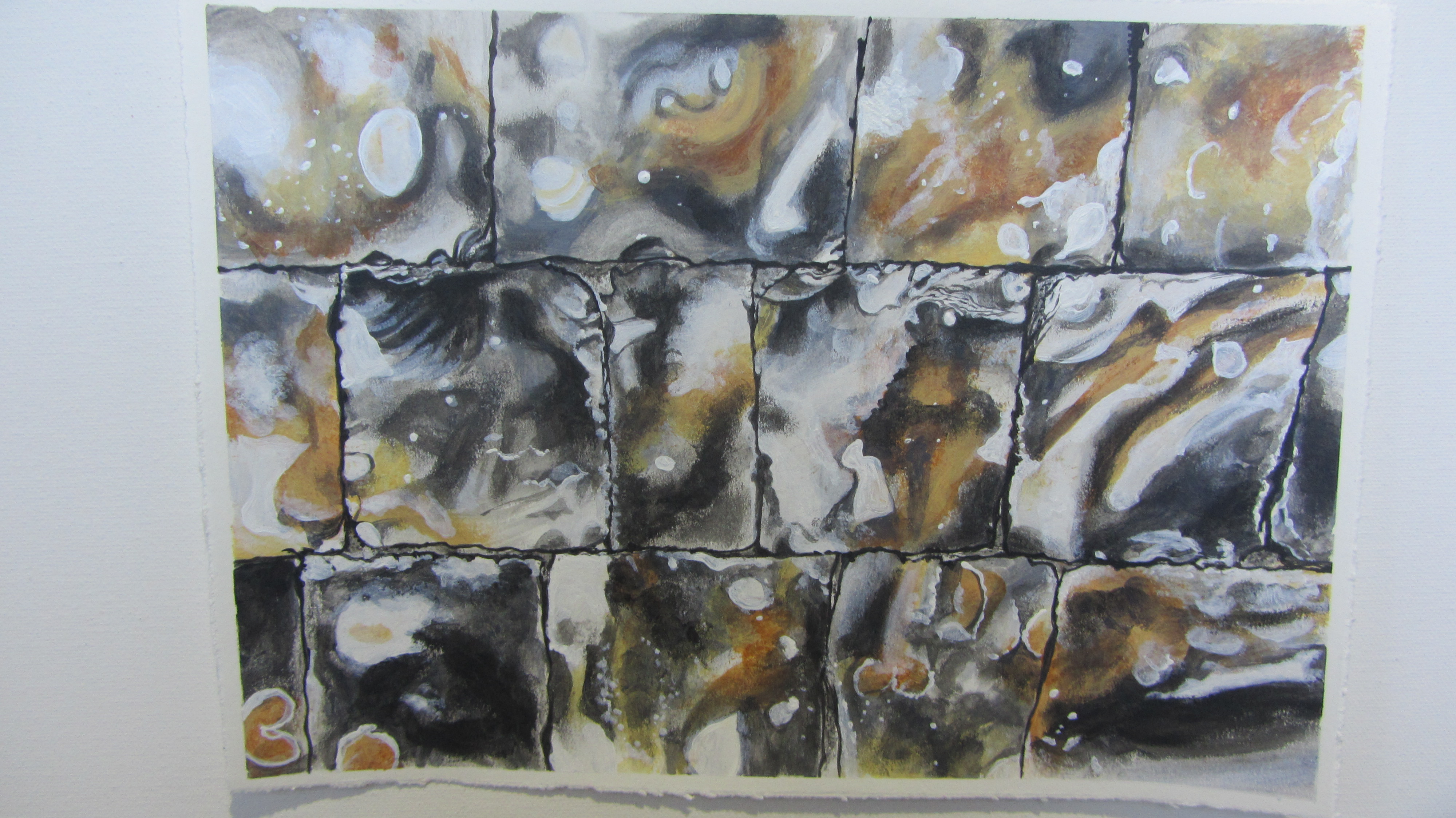
Flint Country

Guildhall – Poppy Mathews

Flint wall, Museum of Norwich at the Bridewell

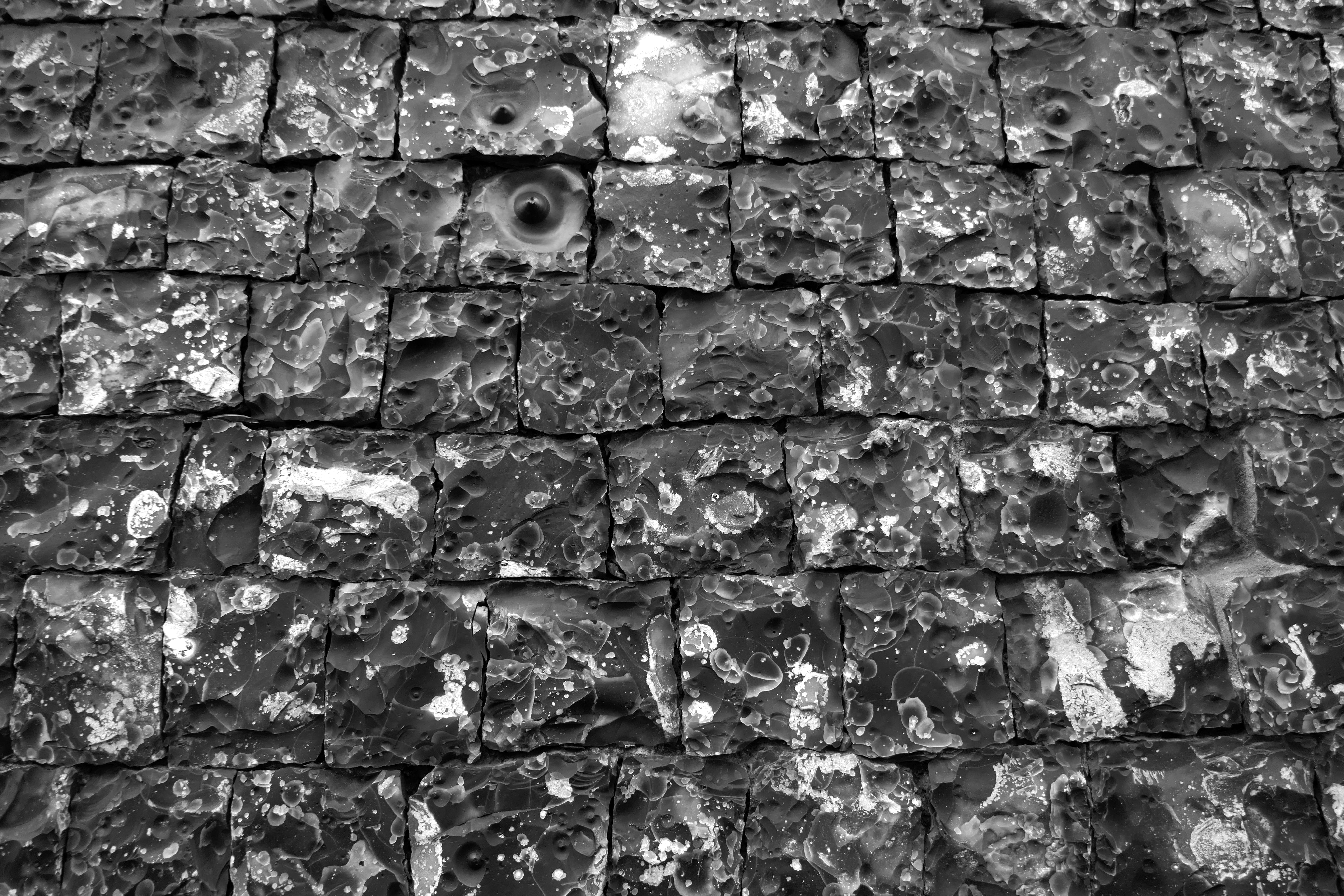
A night-black wall, early medieval

Its joints, Inca-snug, four-square

Yet not quite square

A thousand faces to the world, a mosaic of time-lost oceans

Visitors to Norwich have long noted the abundance and splen­dour of its flint buildings. The equestrian traveller Celia Fiennes visiting the city in 1698 observed that Norwich, in addition to having ‘a great number of dissenters’ was ‘a rich, thriving indus­trious place’:

… by one of the churches there is a wall made of flints that is headed very finely and cut so exactly square and even to shut in one to another that the whole wall is made without cement at all they say… it looks well, very smooth shining and black.

The building whose wall Celia Fiennes was so impressed with still stands and for almost a century has served as the city’s Bridewell Museum. As the plaque by the museum entrance confirms, it has long been considered ‘the finest piece of flintwork in England’.

Flint Country

Ruin of St Mary’s Church, Saxlingham Thorpe, Norfolk

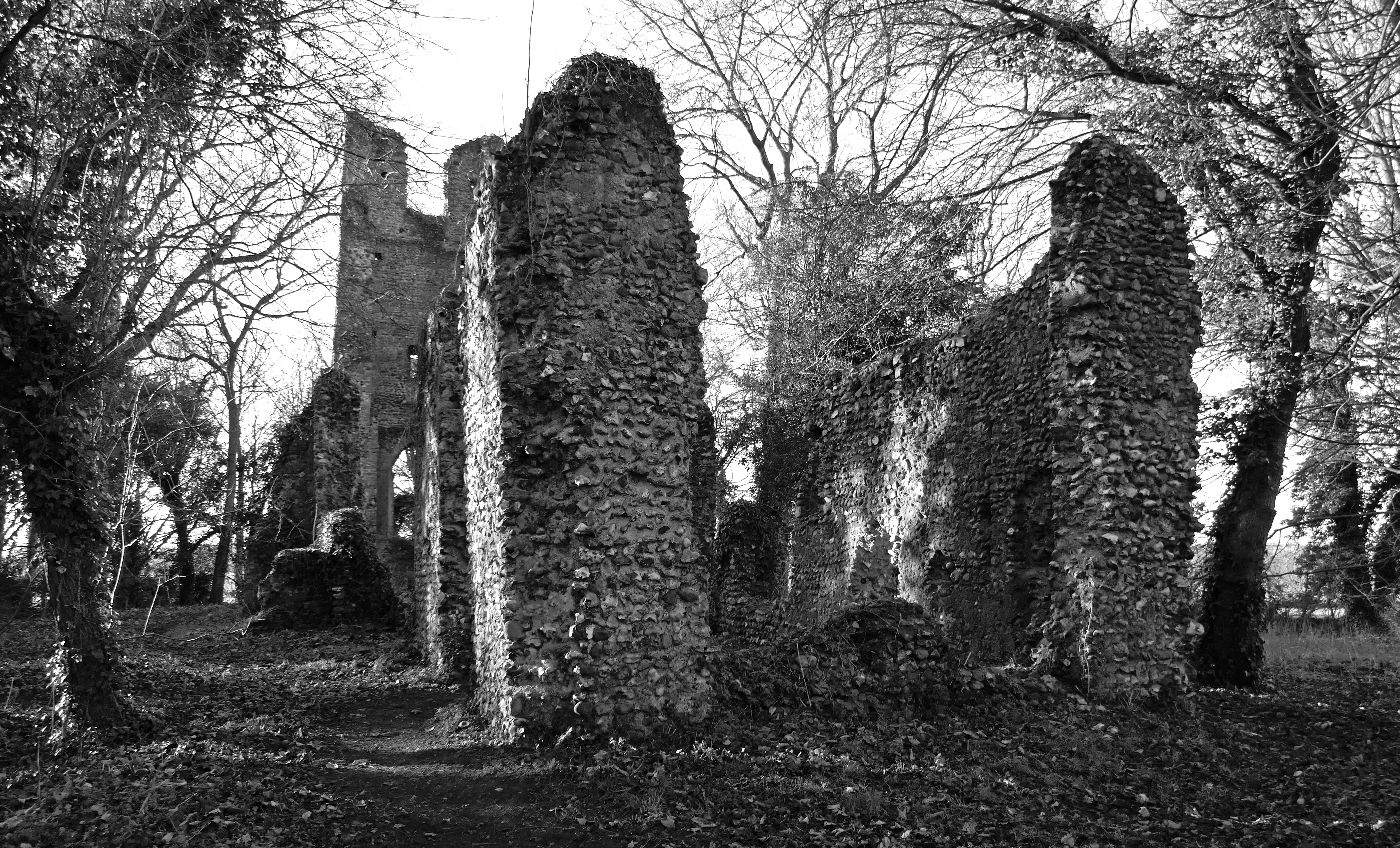
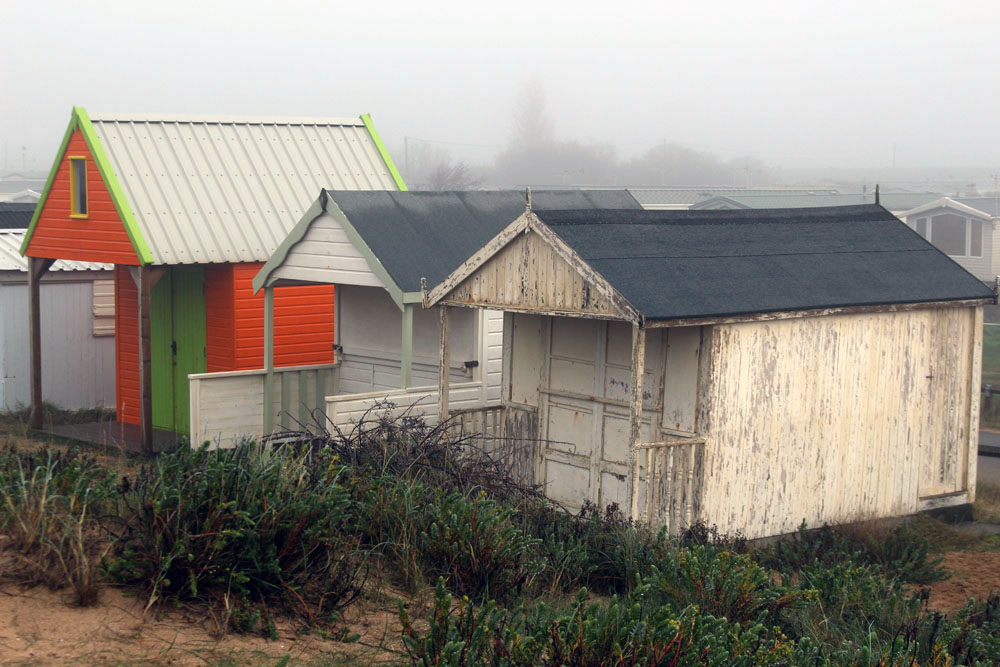
Given sufficient time, ruins can blend into the landscape and accumulate folklore along with the ivy and bramble. A ruin invariably provokes a sense of melancholy – a psycho­logical linkage of place and emotion that has been recognised since antiquity. There is even an Old English word for it: dustsceawung, which translates as ‘the contemplation of dust’, although ‘dust’ here should be considered in the broader sense of that which remains after destruction, along with the con­comitant awareness that all things go this way eventually.

Norfolk has more than its fair share of ruins. In particular, it abounds with a wealth of long-abandoned flint-built churches. Mostly these ended up as ruins because of abandonment and their subsequent deterioration over the centu­ries that followed. Others were deliberately dismantled, partially at least for the building stone they held, which would then be recycled for use in new churches, houses and farm buildings.

Flint Country

Flint 5 – Poppy Mathews

Flint Country by FabFourBlog

My latest book Flint Country was published a couple of weeks ago. I would just like to share this generous blog post about it by Klausbernd Vollmar and Hanne Siebers. It also includes some of Hanne’s lovely images of Cley next the Sea on the North Norfolk coast.

Fogbound: Heacham to Old Hunstanton

Earlier this week we walked from Heacham to Old Hunstanton along the seawall. To say that it was a bit foggy would be an understatement as the whole of northwest Norfolk lay shivering under a thick blanket of dense fog – a white-out, or rather ‘grey-out’, that rendered visibility poor in the extreme.

We made our way through Heacham village, past gingerbread carstone cottages and then holiday bungalows and caravan sites before arriving at North Beach, where the previous night’s freeze had created thin blades on the stems and leaves of shoreline plants and shrubs.  

A few distant ghostly figures could be seen out on the wall, walking dogs or just taking exercise. The Wash that lay ahead was an unappetising grey soup that disappeared from view not far beyond the groynes that ran into it. On the far shore lay Lincolnshire; today, it may as well have been Narnia. It is said that on a clear day it is sometimes possible to make out Boston Stump (the soaring tower of Boston’s St Botoph’s church) on the distant shore. Not so today. The tide was going out, its recent turning delineated by a line of seaweed, broken shells and energy drink cans. A washed-up sprig of plastic holly added a timely if lacklustre reminder of the coming festive season.

Approaching Hunstanton, the resort slowly came into focus as the mist started to clear. Soon after, a hazy disc of sun shone through and fragments of blue sky began to piece together overhead. By the time we reached Old Hunstanton the transformation was complete – perfect light to appreciate the banded cliffs that rise here. Some unknown hand had created a piece of citizen landscape art on the beach – a collection of painstakingly assembled cairns of red and white chalk that echoed the cliffs of the backdrop. On the shoreline, oystercatchers perched companionably on seaweed-covered rocks while sanderlings scurried like clockwork toys and turnstones did exactly what their name suggests. A scene to savour, albeit briefly – by the time we turned around to walk back into town fog was already starting to descend once more.


A Bend of the Coast

Late July. It is the hottest day of the year and recent deluges are quickly forgotten as the earth bakes beneath a cloudless sky. North Norfolk’s pristine air glows with the sharp blue light that seems only to be found close to the coast – a light that bears the reflected promise of the sea just beyond. The notion is to celebrate my birthday with a circular walk that takes in the curve of the county at its northwest extremity: that charmed stretch of sand, marsh and hinterland chalk that curves west to south between Holme-next-the-Sea and Hunstanton.

I set out from Old Hunstanton at St Mary’s Church on the fringe of the Le Strange estate, a curious feudal relic of Norman patronage that historically even has possession over the seashore as far as Holme-next-the-Sea, the incumbent bearing the complimentary title of ‘Lord High Admiral of the Wash’ and the limit of the estate boundary traditionally measured by a spear thrown into the Wash from horseback at low tide.  I circumnavigate the dense woodland of Hunstanton Park before heading south along a track marked by a sign that calls it Lovers’ Lane. But there are no lovers today, just me, and it is not really a lane as we tend to know them either, more a greenway enclosed by hedges and tall stands of nettles, one of the less pleasant by-products (along with more than usually plentiful mosquitoes) of this unseasonably wet summer.

A mile or so later, following a short interlude along tractor-rutted farm-tracks, I climb gently up to a point where I can see the evocative ruin of St Andrew’s Chapel across the fields. Dropping down again, I soon reach the eastern end of Ringstead Downs. A large chalk-built barn and stark white cliff face serve as a reminder that this corner of the county is where the underlying chalk comes right to the surface. This, terminating in the striated chalk and carstone cliffs of Old Hunstanton, is the northern end of a seam of chalk that cuts diagonally southwest to northeast through southern England – the geological marker of the miscellany of paths that once constituted the Icknield Way. Chalk generally brings a gift of rich flora and Ringstead Downs, a shallow valley with the scarp slope on its northern side, does not disappoint. Thyme, eyebright, vervain, centaury and the charmingly named squinancywort are all to be found here: jewel-like miniatures that embroider the grass with pointillist spikes of colour. It’s humid and warm – a chalk valley microclimate; microscopic storm flies find their way through hair to scalp. There’s no breeze and little extraneous noise other than the summery coo of pigeons in the trees and the well-nourished buzz of satiated bees. Butterflies sip nectar; a buzzard swoops before flying off into the woods that flank the down’s eastern limit; a group of peahens – hardly native – screech alarmingly as they waddle for cover in the trees.

Ringstead village, a roadside strip of neat carstone and chalk cottages, is almost as silent apart from a few muffled voices emanating from the pub garden and the sudden scream of a dozen swifts plundering the sky overhead. From here, it is a plod along quiet country roads to reach the coast. Barely a car passes, just a man on a bicycle with panniers who bids me ‘Good afternoon’. Afternoon? Already? The road runs mostly parallel to the coastline, the sea out of sight but with long views over the valley to the south with its harvested cornfields and sparse green hedgerows.

This corner of Norfolk flaunts its geology quietly but confidently: the gently contoured topography, the chalk and sandstone of village vernacular. There are more discrete clues to a glacial past too: just below the road lies Bluestone Farm, a name undoubtedly adopted because of the presence of glacial erratics (‘blue stones’) hereabouts – northern rocks carried here by ice and unceremoniously dumped like strangers in a strange land.

As the road climbs to its highest point – a lofty (for Norfolk) 50 metres – the coast comes abruptly  into sight: a blue salt-haze with a large wind farm on the horizon, turbines spinning slowly as if doing their bit to keep the world turning. Thornham village is but a short walk downhill. Once considered to be a ‘smuggling village’, the village is now largely a smart enclave of expensive 4x4s and wealthy folk ‘up from London’. Thornham is undeniably attractive: set just back from the coast, separated from it by bird-rich marshes, its brown carstone cottages look as if they are made from gingerbread, good enough to eat.

The coastal path crosses the marshes to reach a staithe before following the line of sea defences all the way west to Holme-next-the-Sea. At Thornham Staithe, and later at Holme, the busy car park exerts a curious gravitational effect that seems to prevent the majority of its visitors ever breaking much beyond its orbit: home, car, car park, beach, picnic, swim, car park, car, home. Nothing wrong with that of course, it allows the rest of us  to have the paths to ourselves most of the time. A boarded walkway leads over the top of the dunes to reach the beach at Holme-next-the-Sea, then briefly plummets through the deep shade of pines at the bird reserve before continuing between beach and marshes as the coast tips southwards towards Hunstanton. Pipits rise in alarm from the path in my wake; pyramidal orchids, slightly past their best, dot the sandy hollows in magenta clusters; yellow ragwort is everywhere.

Approaching Old Hunstanton the coastal path follows the line of shingle between the dunes and a golf course. The buildings of Old Hunstanton eventually become distinguishable on the cliffs ahead.  Finally, beach huts in the dunes announce the outskirts of town, where a track leads up past the Le Strange Arms Hotel to the main coast road. My coastal circuit – less a circle, more a wobbly ellipse – is complete.

Norwich Underground

Norwich’s network of underground passageways is the stuff of legends. Many of them may be the work of over-active imaginations but others undoubtedly do exist as relics of the city’s medieval glory days when a little subterranean expediency came in handy in times of religious persecution or civil war. Of course, even those that exist solely in folk memory still make for a good story.

The city’s bedrock is pitted with less glamorous tunnels too. Chalk and flint mining was a Norwich tradition for centuries and both materials were necessary for building the extensive city’s walls and numerous churches of what was England’s second largest city in the medieval period. As a result, certain areas of the city have long been synonymous with subsidence problems. A reminder of this came to the fore in 1988 when a double-decker bus was unexpectedly swallowed-up by the earth on Earlham Road close to the Roman Catholic Cathedral of St John the Baptist. Thankfully no-one was hurt. This bizarre event made for some entertaining postcards and even gave the opportunity for the chocolate manufacturer Cadbury’s to promote one of its products using a photograph of the unfortunate bus alongside the slogan, ‘Nothing fills a hole like a Double Decker’.

Walking recently in a formerly unexplored corner of a familiar haunt at the city outskirts I stumbled upon an entrance to this chalky underworld. Long sealed-up with steel to deter would-be intruders, this one had been recently prised open – by shadowy urban explorers, no doubt, keen on charting this unmapped terrain. Resistance was futile – there was no way to turn down such a serendipitous opportunity.

Just a few metres beyond the entrance the absolute darkness is intimidating – the light of torches too feeble to identify much more than where the tunnel floor is and highlight spray-painted ciphers marking dead ends and potential exit routes. The photos taken here with flash were made by simply pointing and hoping for the best: a strange turn of events in which the results reveal detail unseen by dim yellow torchlight at the time of their taking.

A troglodyte world such as this is a starkly alien environment that can bring out the most atavistic of fears. Past underground visits have been to well-lit caverns filled with phantasmagorical stalactites and stalagmites, or tropical caves in south-east Asia populated by strange blind fish and albino insects — beautiful unthreatening spaces. My only previous mine experience was a terrible, yet fascinating, place on the other side of the world: a Bolivian silver mine at over 4,000 metres altitude at Cerro Rico (‘rich hill’) near Potosí, where visitors are expected to bring along gifts of Coca-Cola, bags of coca leaves and sticks of dynamite – the necessities of a Bolivian mining life. The miners in turn offer their own gifts to El Tío (‘The Uncle’), the spirit of the underworld – a pact with the Devil that permits them to scratch a dangerous living from the earth for their short tough lives. Since this visit I have always afforded miners the greatest respect.

It might seem odd that a short excursion beneath the ground just a mile or so from home can feel almost as alien an experience as a visit to a Bolivian silver mine – even without a cheek-wad of coca leaves and the necessity of appeasing ‘The Uncle’. There again, the juxtaposition of a jarring new experience in a wholly familiar setting is always going to be disturbing.