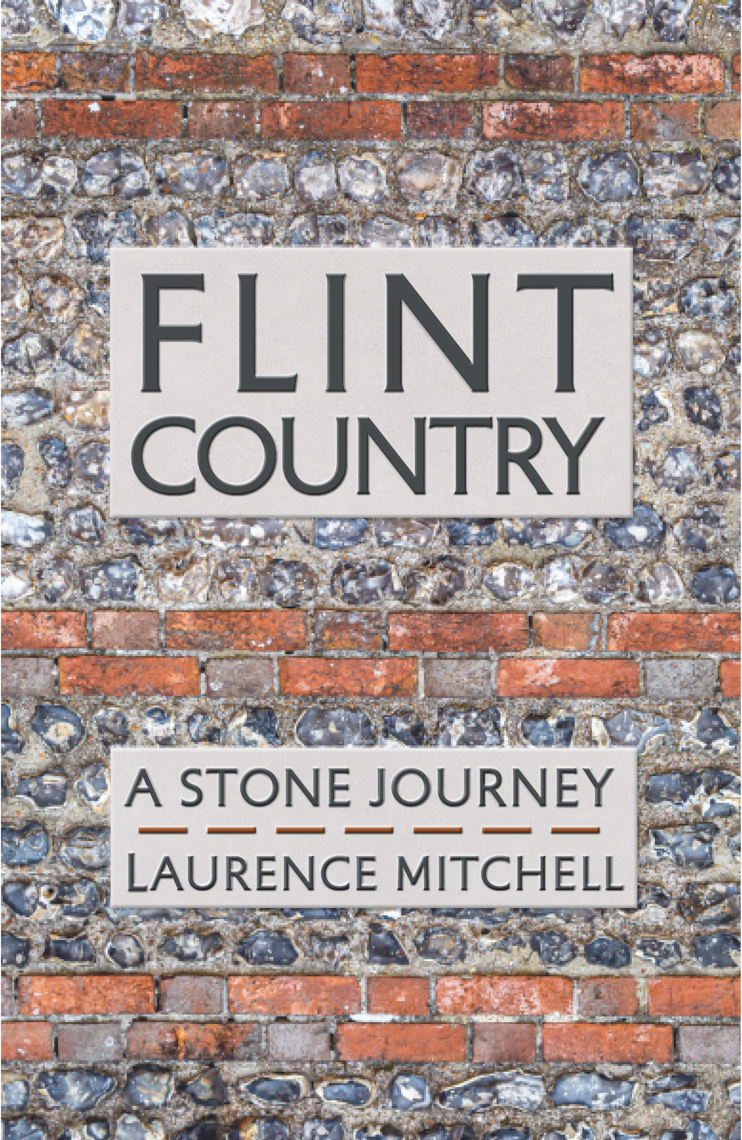
My new book Flint Country: a stone journey will be published on July 10th. Here’s a link to the blog post I wrote about it for the publisher, Saraband.
Hidden places, secret histories and unsung geography from the east of England and beyond
My new book Flint Country: a stone journey will be published on July 10th. Here’s a link to the blog post I wrote about it for the publisher, Saraband.

The road to Dirē Dawa is a long one: an eight-hour drive from Addis Ababa, or so we are told.
We left Addis Ababa at dawn, our bus rattling through empty streets shadowed by new-build office blocks. As with almost everywhere currently in Ethiopia, the pavements were piled with concrete rubble, the result of Prime Minister Abiy Ahmed’s ambitious nationwide road-widening project, a controversial scheme that had already demolished parts of some poorer city districts and displaced many residents in its wake.
For the first hour or so we sped along a pristine tarmacked dual carriageway, the brightening horizon ahead weighed down by clouds the colour of watermelon juice. We could have been almost anywhere; or, at least, anywhere that comes blessed with a backdrop of purple-shadowed mountains and lush tropical greenery. Eventually the freeway morphed into a narrow two-lane highway, which meandered around the heads of valleys as we plied our way eastwards. Traffic was heavy in both directions. Coming towards us was an endless stream of heavily laden trucks from Djibouti, each one towing a trailer, vehicle and driver bonded in lockstep like driven cattle. We slotted into a gap in the fast moving crocodile of trucks that were heading east towards the coast, some of which were piggybacking another truck strapped to their flatbed.

As elsewhere in the country there were checkpoints and roadblocks to slow things down. We had already experienced these travelling the roads of the south, especially in Oromia state, although they had rarely delayed us for long. Sometimes they were administered by the Ethiopian army but more often than not they were manned by local militia who wanted to keep an eye on who was coming into their territory. It had not taken long in the country to come to the conclusion that, rather than the unified sense of national identity promoted by the government, Ethiopia was in the process of becoming increasingly fragmented by region, language, culture and political persuasion.

Before our arrival in Ethiopia we had made firm decisions as to our itinerary. These were based on information gleaned from online travel forums and British FCO warnings regarding more unstable areas of the country. Much of the north – the highlands of Amhara and part of Tigray – was considered unsafe because of rebel activity and kidnappings. Similarly, part of the large sprawling region of Oromia that fans south, west and east from Addis Ababa also came with similar warnings about safety. The FCO had produced a map of the country that divided the country into three zones according to perceived safety: red (‘Advise against all travel’), amber (‘Advise against all but essential travel’) and green (‘see our travel advice before travelling’). I had consulted the updated map frequently throughout the second half of 2024 in the vain hope that brotherly love might prevail throughout the land but the map did not appear to change very much. Much of the south, in particularly the area around Hawassa where we had spent the previous week, was largely amber and therefore considered relatively safe. The highway between Addis Ababa and Dirē Dawa appeared to pass through both amber and green zones, nudging the red briefly between the Oromia towns of Welenchiti and Metehara.
Road blocks and heavy traffic aside, the other barrier to easy progress was roaming animals – donkeys, goats and camels. The donkeys especially were a law unto themselves, totally unfazed by the vehicles that swerved around them as they pottered along oblivious to any danger. It seemed almost as if the animals understood the fast and loose rules of the road – fully aware that if they were harmed then their owners would require compensation from the guilty driver. On a couple of occasions I actually saw one cross the road using a zebra crossing. Camels were a different matter though, large enough to call the shots, they were generally unwilling to step aside or allow any vehicle to manoeuvre past them.
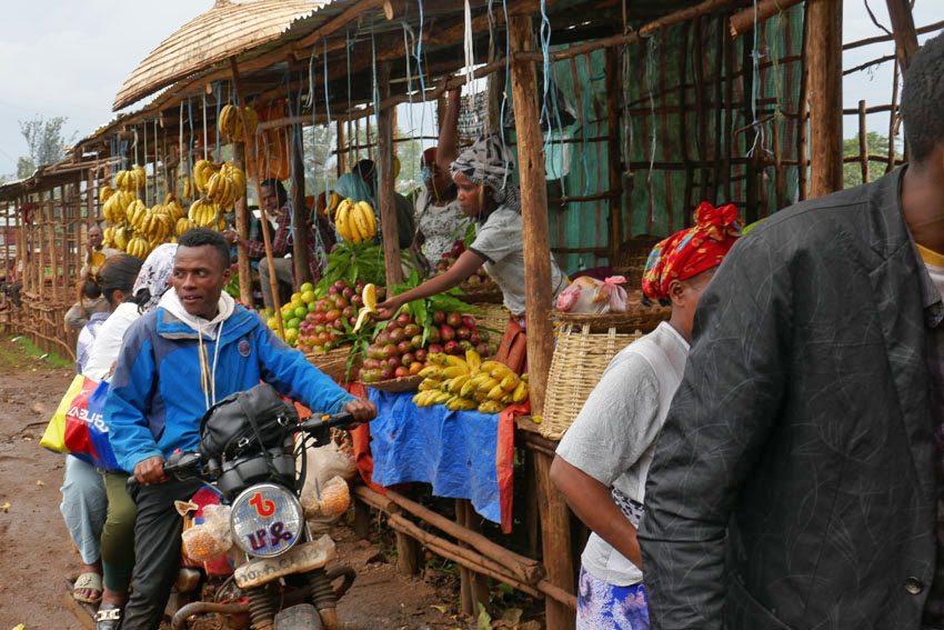
We passed through an endless parade of villages that had little to differentiate themselves from one other: a blurred flash-by of roadside settlements, all flimsy housing and lean-do shops thrown together out of scrap wood, plastic sheets and corrugated iron. The goods on sale – fruit and vegetables, flyblown meat, second hand clothes, spare parts for vehicles – were the bread and butter (or, perhaps, injera) of everyday life. As always in the Global South, it was intriguing how such a base-level financial system managed to thrive, a poor man’s economy in which ragged ten birr notes continually changed hands until all the value had been squeezed out of them.

There was another product on sale that seemed to be ubiquitous in this part of the world – we had seen it on display along almost every roadside in southern Ethiopia the previous week. Khat, the stimulant of choice across much of the Horn of Africa, is an innocuous looking leaf that resembles bay or privet. Legal throughout the region, khat is, as many Ethiopians will attest, less a stimulant, more a way of life. Our driver was clearly an aficionado; as was our guide, a young man who kept his own counsel throughout the journey and did not utter a word of information about the foreign (to us) country that lay beyond the window. The pair just stared ahead for the whole way, locked in herbal reverie as they slowly worked through the pile of leaves that lay at their elbow.

Khat seems to be very much a driving drug, an herbal alternative to the so-called energy drinks whose slim cans over-caffeinated motorists toss out of their windows along Britain’s motorways. It might even be considered to be a green alternative to caffeine, although there is absolutely no shortage of coffee in this land of stay-awake plenty. A week earlier, motoring through the coffee-rich Sidama region of the south, our previous guide, Wonde (‘Wander’), had regaled us with horror stories about khat-crazed drivers careering off the road due to lack of sleep and/or poor decision-making. It seemed perfectly believable. Between Addis and Dirē Dawa I counted at least eight trucks that had crashed and gone off-the-road; some lay forlornly on their side, while others had ended up completely upside down with wheels akimbo. It was unclear as to what had become of the drivers, although it did not look as if they would have escaped unscathed.
One crashed truck that we passed had unleashed a load of crated beer bottles onto the slope beside the road. Slowing down to make our way around the crowd that had gathered around the wrecked vehicle, the air smelled as malty as a Sunday morning pub. A couple of armed men were guarding the booty as approved wreckers sifted through the debris, placing the unbroken bottles in crates ready for resale. Who the men with guns were was anybody’s guess. It was the same at some of the checkpoints we were obliged to stop at, where youths with rifles peered inside the bus before lowering the barrier – no more than a rope stretched across the road – to allow us to pass. A single word from the driver, ‘Turist’, and a glance at our pale well-fed faces within, was usually sufficient for us to be waved on.

While khat consumption is widespread, it was something that was shared with other countries in the region like Somalia. Other aspects of Ethiopian culture are decidedly more unique. One is the country’s unorthodox calendar, which is seven or eight years behind the rest of the world. While the year elsewhere might be 2024 according to the Gregorian calendar, in Ethiopia it is currently 2017. ‘Welcome to Ethiopia, and congratulations,’ we had been told more than once, ‘here you are seven years younger.’ Another Ethiopian curiosity is the music that is played loud and proud almost everywhere, which whether traditional, pop, or the rather wonderful Ethio-Jazz that I had already developed a taste for, uses a pentatonic scale that has a distinctive modal sound to it. A world away from other African music that is generally more accessible to Western ears, Ethiopian music has a tendency to sound rather other-worldly and even a little Chinese at times.
Another facet of Ethiopian culture that sets the country apart is the food, which is quite unlike anywhere else. The mainstay of the diet is a sour spongy pancake called injera, which is made from an ancient indigenous grain called teff. This is eaten along with small helpings of spicy vegetable or meat sauces. For many Ethiopians, if they can afford it, kitfo (spicy raw beef) is the preferred accompaniment, although, perhaps counter-intuitively, there are actually two days of the week, Wednesday and Friday, when restaurants are obliged to serve only ‘fasting’ food, which is strictly vegan. Whether meat or vegetable, raw or cooked, freshness is probably the most important factor in regards to health, and I believe it was the suspicious, rather tired-looking sauce that came with the injera I had eaten the previous night in Addis that had been the cause of the stomach cramps that troubled me throughout the long journey.
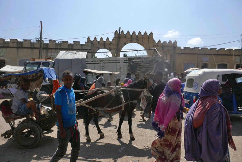
We pulled into Dirē Dawa just as it was becoming dark, the onset of the city’s flickering neon countering the rapid tropical plunge into night. The journey had taken twelve hours – sunrise to sunset. Considerably lower in altitude than where we had come from, the city felt hot and humid compared to Addis’s fresher, spring-like climate. But it was as bustling and noisy as the capital, with a honking stream of three–wheel bajajs (tuk-tuks) plying Dirē Dawa’s wide boulevards. Tomorrow there would be the opportunity to visit the city’s sights, such as they were. Tonight though, after a day of unremitting motion, it was the promise of laying still on an immobile bed that held the greatest appeal.

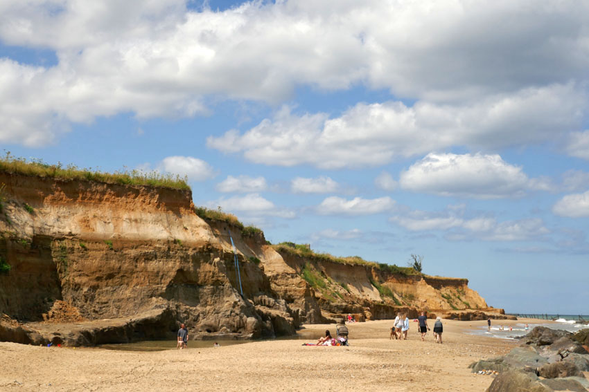
The very mention of the village of Happisburgh in Norfolk brings to mind all manner of prehistoric associations and connections with long-extinct ancestors. The early years of this current century have revealed exciting local evidence of the presence of earliest hominins in northwest Europe: Homo antecessor (‘Pioneer Man’) – near million-year-old clues in the form of flint tools and muddy footprints. Early humans walked these shores in the early Pleistocene, except it wasn’t so much a shore then as a river estuary: the Thames in an earlier incarnation when it flowed further north than its current course. Political boundaries were yet to exist, 800,000 years ago; the land mass that was Britain was still connected to Eurasia.
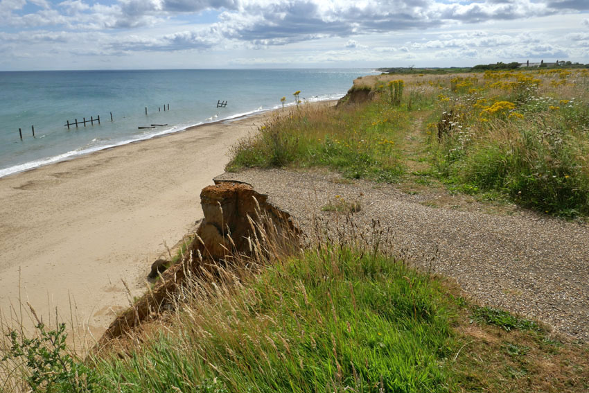
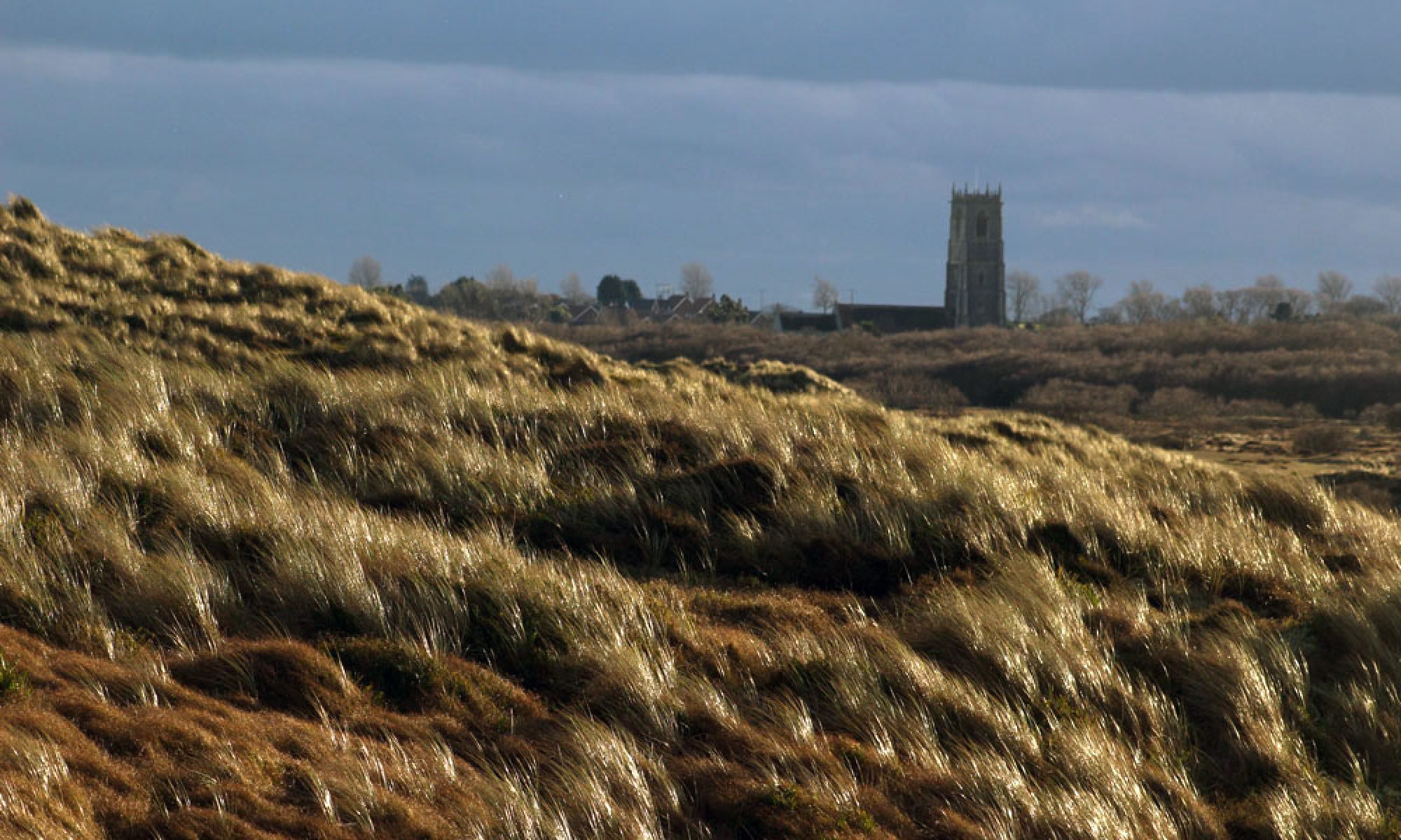
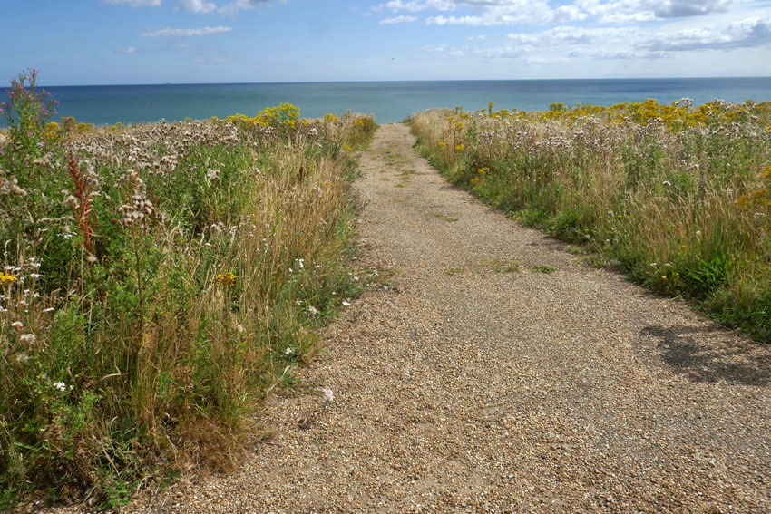
Prehistory aside, Happisburgh (pronounced ‘Haze-bruh’ to those who know) is also well known for other reasons. Its fame precedes it, although notoriety might be a better term. Nowhere on this coastline is the menace of coastal erosion witnessed more emphatically, although the near-vanished village of Dunwich on the Suffolk coast, once a thriving medieval port, might come close. For Dunwich the damage wreaked by the ever-invading North Sea is the past; in Happisburgh it is the present and future. Continually losing territory to the North Sea, there is visible evidence of the dynamic shifting shoreline to be seen everywhere here. Cliffs can be witnessed crumbling on a regular basis. Houses that were once located comfortably inland now perch perilously close to cliff edges; some have already succumbed and their remains litter the beach. Roads and tracks can be seen dramatically truncated along the cliff edge – streets that have become roads to nowhere, roads that lead to oblivion.

Even the village’s longstanding icons – the 15th-century St Mary’s church with its commandingly tall tower, the second highest in the county, and the equally imposing red-banded Trinity lighthouse built in 1790, Norfolk’s oldest – are both numbered in their days and probably won’t see this century out. The writing has been on the wall for a long time now – this northwest stretch of the Norfolk littoral is, after all, a fast-eroding coastline where such things can only be expected. Even so, the terrifying spectre of irreversible climate change does nothing but hasten the inevitable. Bold efforts have been made to ameliorate the threat: large chunks of alien geology have been transported here to be deposited on the beach – stone barriers to hold back the tide – yet somehow it feels like the wrong sort of folk tale: a village boy taking up a slingshot against a giant ogre, a near-futile King Cnut-like gesture.

So, there is plenty to say about Happisburgh but what of Ostend, its immediate neighbour to the north? Walking the coast here recently in preparation for a new book on short walks in Norfolk, I tried to find out more about the small settlement that shares its name with the better known Belgian resort. Information was elusive, other than it belonged to the parish of Walcott and was effectively an area of holiday properties appended to the south of that village. The name intrigued me, though, and I wondered whether there was a historical connection as there are several Waterloo farms scattered around Norfolk that commemorate the final victory over Napoleon close to the Belgian town of that name. Until 2001, when it was finally demolished, there used to be an early 17th century house in the village was called Ostend House. There may possibly be a connection here but was it always called Ostend House, or did the name come with the rebuild that took place in the 19th century?

Looking further for information, Wikipedia informed me that in June 2002 a rare Cuvier’s beaked whale was stranded on the beach here. This was the same species of whale that Kathleen Jamie describes being on display in Bergen’s Whale Museum. The Bergen whale was found choked by plastic bags that the unfortunate animal had probably mistakenly recognised as squid, its prime food source. As I had only just (twice) read Jamie’s latest book Cairn,which describes her return visit to the Norwegian museum, there was an immediate connection for me here, although it was nothing to do with the name of the place.

The whale was named by the French scientist Georges Cuvier (1769—1832)*, a polymath who was the first to coin the term ‘extinction’. In 1796 Cuvier presented a paper to the National Institute of Science and Arts in Paris, where he compared the anatomy of living and fossil elephants to prove that extinction was a fact and proposed that the now-extinct elephants had been wiped out by periodic catastrophic flooding events. Although a proponent of catastrophism in geology, Cuvier rejected the idea of organic evolution. As an essentialist he believed that plants and animals were created for particular roles and niches in the world environment and subsequently remained unchanged throughout their existence. In Cuvier’s thinking, as soon as one species became extinct as the result of geological upheaval, another would be divinely created to replace it. It would be Charles Darwin, of course, who would set the record straight some 65 years later with the publication of his On the Origin of Species. What Darwin would have made of the 21st-century discovery of evidence of a long-extinct ancestor, Homo antecessor, on a sea-battered English shoreline we can only imagine. Evolution to extinction: such a surprisingly short distance of time and space linking the two.
*[Alas, Cuvier’s name has also been linked with scientific racism, although we might excuse him for being, as the cliché goes, ‘a man of his time’. Of course, modern-day racists should not be forgiven in the same way – they are not men (or women) of their time. We might, I suppose, call them dinosaurs but to do that would be a disservice to palaeontology.]
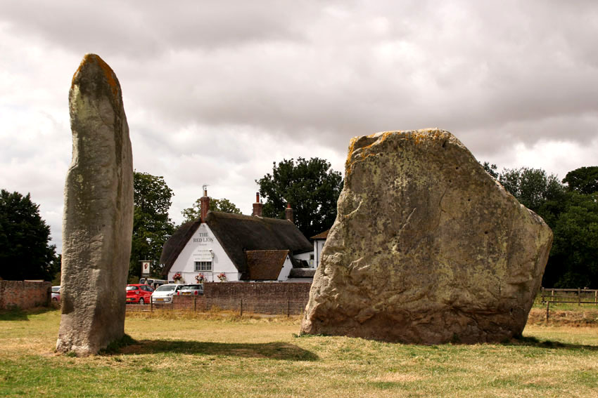
A Journey to Avebury is the name of a short silent film made by Derek Jarman made in 1971. Shot in wobbly Super 8, and saturated with burnt orange hues, it has an otherworldly eldritch atmosphere that is hard to describe. Suffice to say it is hardly be the sort of thing that the then English Tourist Board might have chosen to promote the stone-encircled Wiltshire village. Too painterly and surreal by half for such considerations, the film is both beautiful and slightly disturbing, and has the feel of a psychedelic adventure about to go wrong. With wind-blown trees and shifting clouds against Martian skies, A Journey to Avebury evokes the strangeness of a landscape that is already inherently deeply weird. The weirdness owes much to the implacable monoliths that dominate the village, although Jarman’s focus on the rolling Wiltshire landscape that surrounds the village, with its bare fields and isolated clumps of trees, is equally suggestive of a territory that exists outside the usual constraints of time and space.
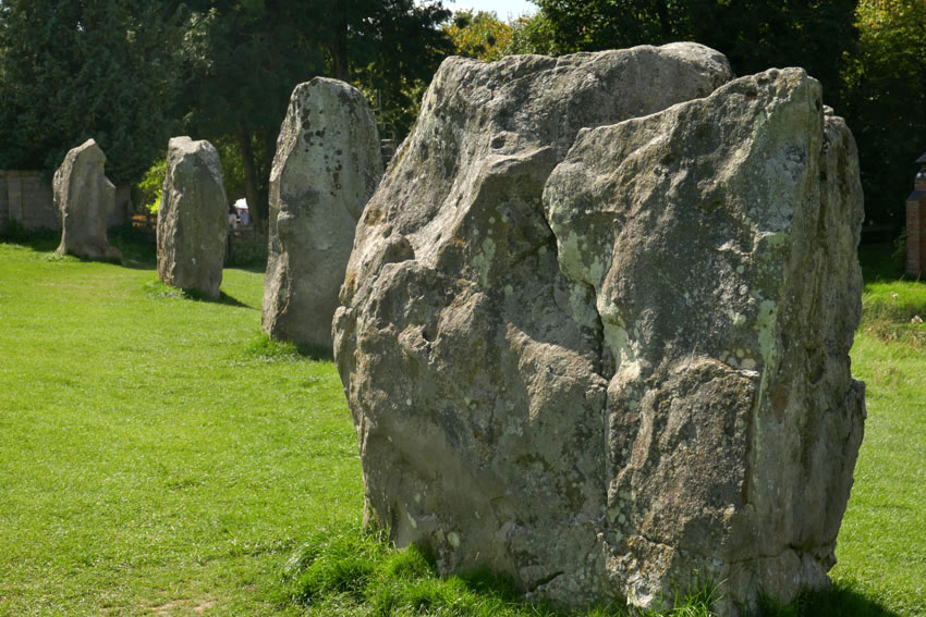
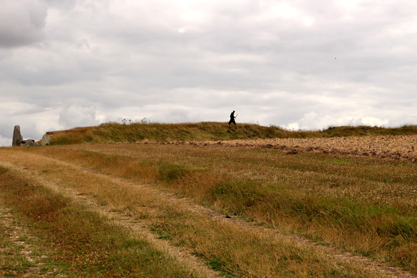
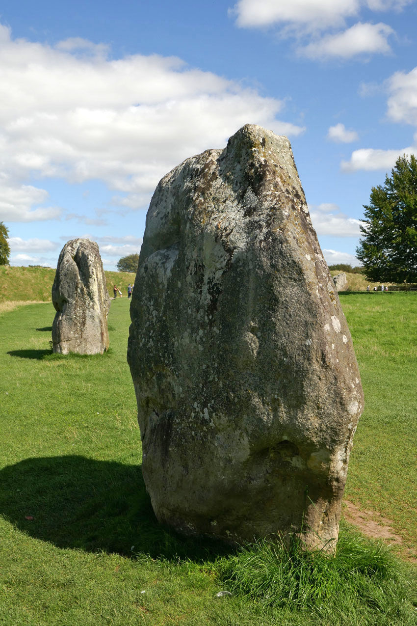
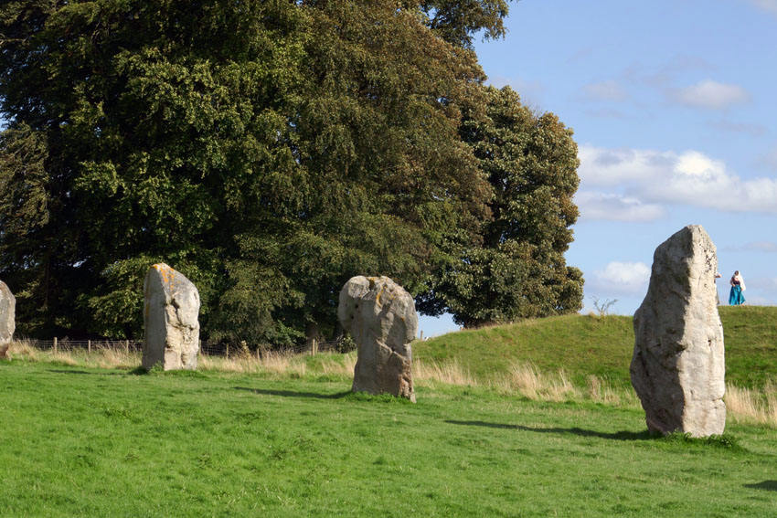
Avebury is undoubtedly an extraordinary place – a village that not only lies at the heart of a sacred Neolithic landscape but one that uniquely sits within the sweep of a stone circle. Not surprisingly it is a much visited location, especially in the summer months, as visitors that range from newly retired to New Age travellers come to walk the circle of stones and pay tribute to this ancient, stone-bound place. After several visits to the village myself, its megaliths and raised banks, pathways and lanes have become firmly imprinted in my mind. Some places fade quickly but Avebury is somewhere that etches itself on the memory.
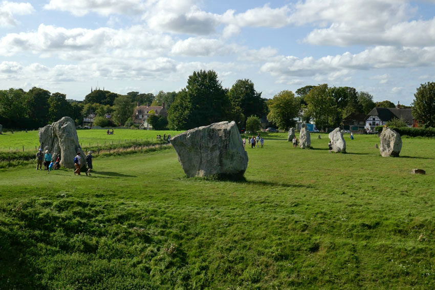
Even in prehistoric, monument-rich Wiltshire, Avebury has a particular gravity. It feels as if it is at the centre of things, a focal point for the megalith-strewn landscape that surrounds it. Nearby are other, even older monuments that put the stone circle and avenues of Avebury into context: the destroyed stone and timber circle of The Sanctuary, the chambered West Kennet Long Barrow and, most remarkable of all, the man-made chalk Mount Fuji that is Silbury Hill. These are all connected, by footpaths, tracks and, as many believe, ley lines, although it is the monument of Avebury that gives the impression of lying at the beating heart of it all.
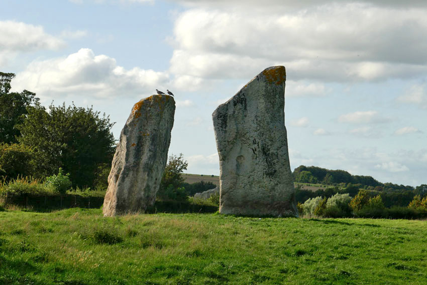
Visiting Avebury is like going to meet an old friend from the past. Last summer, I did just that: arranging to meet a friend whom I had not seen for decades at the village. We sat at a bench in the churchyard of and reminisced about shared memories from forty years ago. Time stretched and compressed obligingly – but perhaps the location helped.
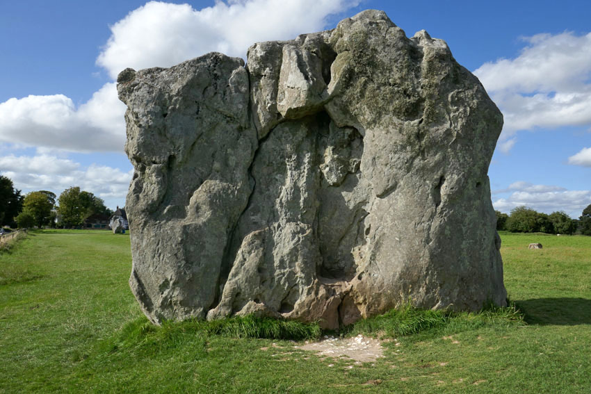
Like Stonehenge, the megaliths of Avebury were likely associated with ritual and social gatherings. They may also have functioned as some sort of solar calendar. But if Avebury is a place of measured time, it is also a place that stands outside time. The past, present and future rest easy here, although in the right light the village with its New Age atmosphere can appear to be perpetually locked in the 1970s – perhaps 1971, the same year that Jarman came here to make his film.
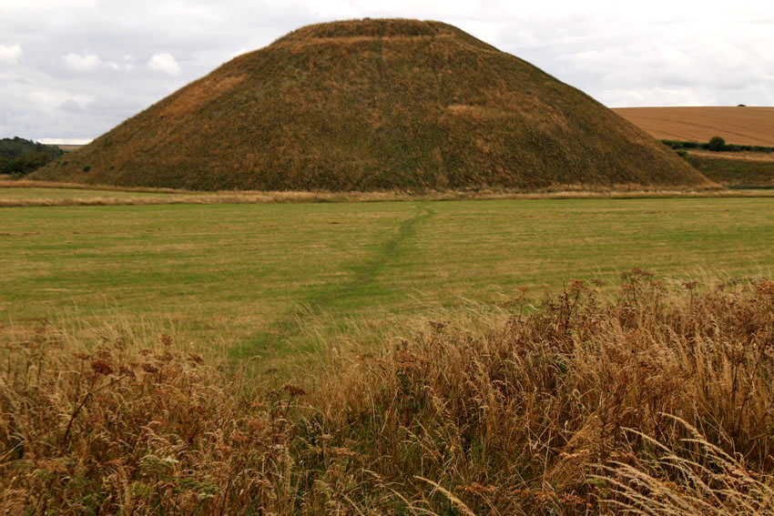
A Journey to Avebury (1971) by Derek Jarman
Also, this excellent fantasy drama TV series for children, broadcast on ITV in 1977, was filmed almost entirely at Avebury. Children of the Stones by Jeremy Burnham and Trevor Ray
Of all London’s lost rivers it is the Walbrook that is the most irrefutably lost: lost to time, lost to place… well, almost. An important source of water in Roman times, when its banks were lined with the workshops of Roman industry – tanneries, potteries and glass workshops – the river has not been visible on the surface since the 15th century when the last open sections were vaulted over. Ghosting the boundary of Roman London, its confluence with the Thames lay close to what is now Cannon Street Station Bridge. Where the Walbrook began is less certain, although what is clear is that its course flowed between the City of London’s two principle hills – Ludgate and Cornhill. Some say its source was a spring close to what is now Shoreditch High Street, while others point to higher ground at Islington.
Lost to time, perhaps, but there clues to place – in street names, in signs, in places of worship, in the Roman street plan. The walking route tracing the Walbrook’s course that I describe here is faithful to that given in Tom Bolton’s excellent London’s Lost Rivers: a Walker’s Guide Volume 1.
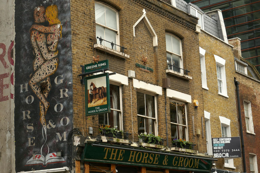
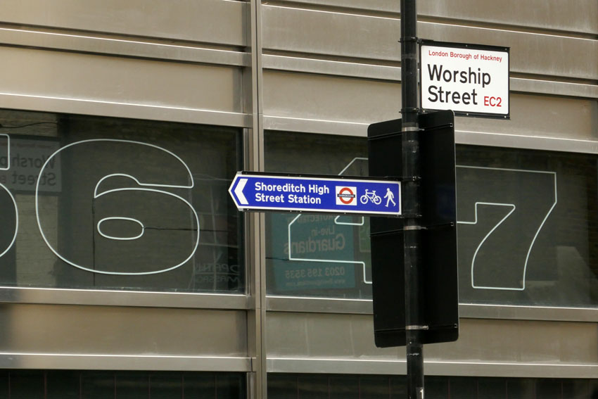
I begin on Curtain Road that runs south from Shoreditch. Holywell Road that abuts it to the east is an intimation of the location of the aforementioned spring. Curtain Street leads to Appold Street and through Broadgate Circle, an upmarket shopping and leisure hub that until 1984 served as a railway station and which was formerly a burial ground for the Bethlehem Royal Hospital, better known as Bedlam. It also served as a mass grave for victims of the various bubonic plague outbreaks in pre-Fire London – grim, no doubt, but dig down almost anywhere in central London and you will find human bones sooner or later. The River Walbrook would have passed through here before flowing along what is now Bloomfield Street to reach the Roman-built London Wall, which served as the boundary of the City until the 18th century. The Walbrook is believed to have flowed through a hole in the wall at an aqueduct close to where Bloomfield Street meets the Wall.
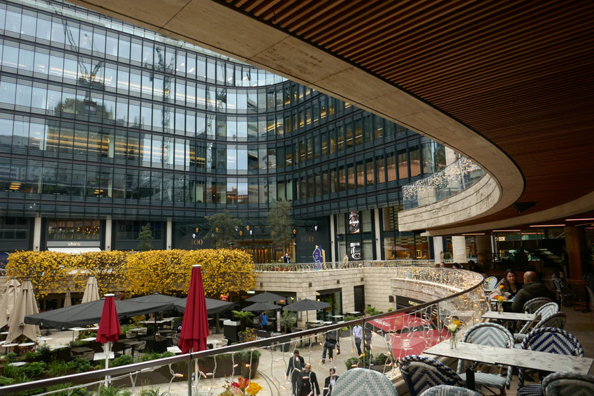

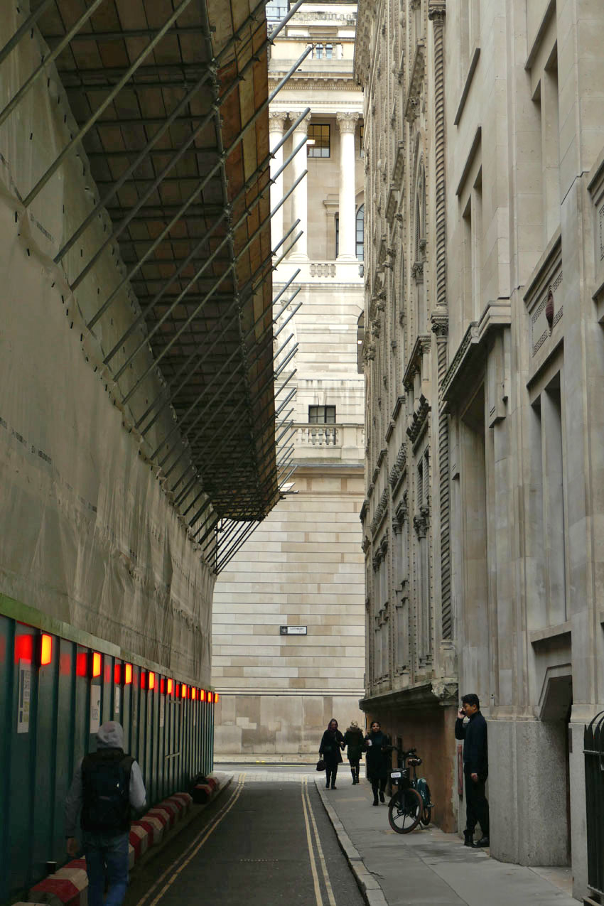
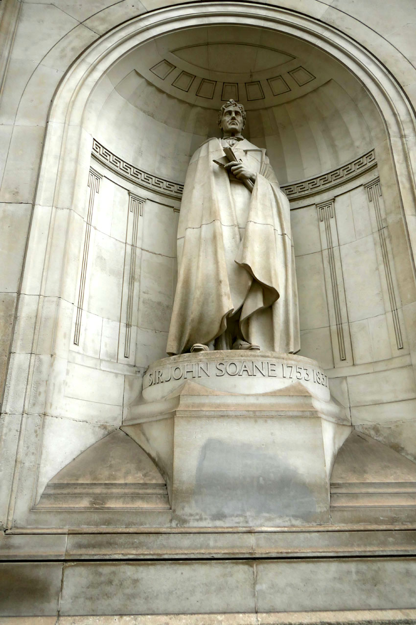
Channelling the disappeared river, I pass through elegant iron gates of the Wall into Throckmorton Avenue, then turn right and left into an alleyway opposite a barber’s shop that seems incongruous amidst all this high-rise estate of capital. But even financiers need to be shaved and shorn occasionally – sharp haircuts and a regular supply of barista coffee are the basic necessities of life in the City. The alleyway leads into to the narrow passageway of Tokenhouse Yard, at the end of which is the reflected light of the north wall of the Bank of England, the building’s Portland stone preternaturally aglow in the gloom of an overcast November day. The magnetic pull of capital here is almost spiritual: money buys, Jesus saves, sinners spend. Sir John Soane, the Bank of England architect, surveys the scene from his statue recessed high into the wall, while the ghost of the river traverses beneath the building, symbolically moistening – perhaps laundering – the horded lucre in the vaults beneath.
Riverwards, beyond the Bank, lies the Church of St Stephen’s Walbrook and a street of the same name. The elusive river is acknowledged at last. The church, originally situated on the bank of the Thames, was moved here in the 14th century. The Walbrook would have flowed just west of here. The street is dominated by the block-length, Norman Foster-designed Bloomberg building, which has an undulating profile that hints at the vanished river. On its ground floor, an etched glass door leads into the London Mithraeum, a museum dedicated to the Mithras temple that once stood on the banks of the Walbrook nearby. A place where Mithras and Bacchus were once worshipped by Roman soldiers, Mammon has since taken over as chief deity on this patch of expensive real estate.
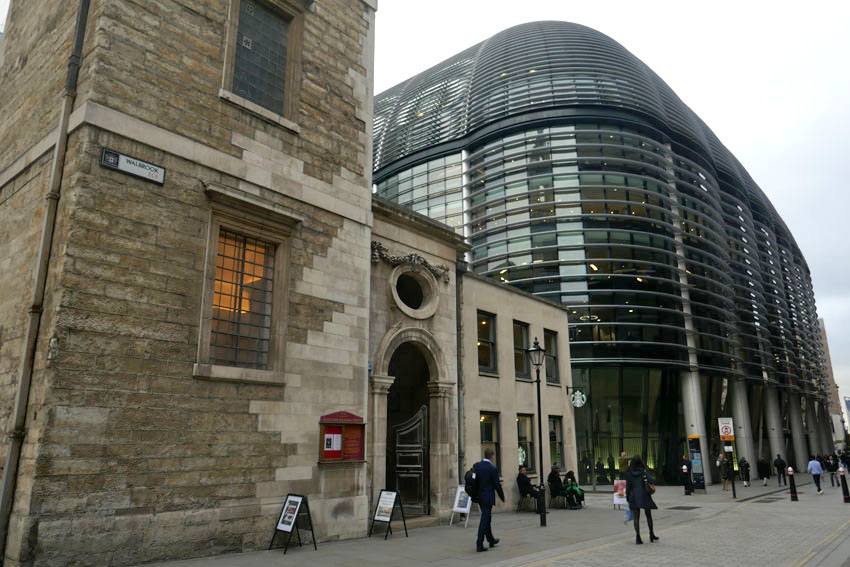
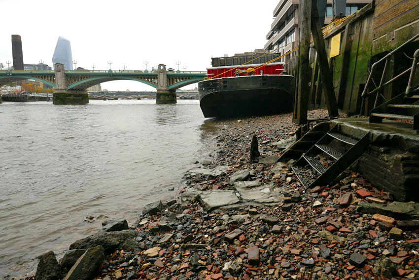
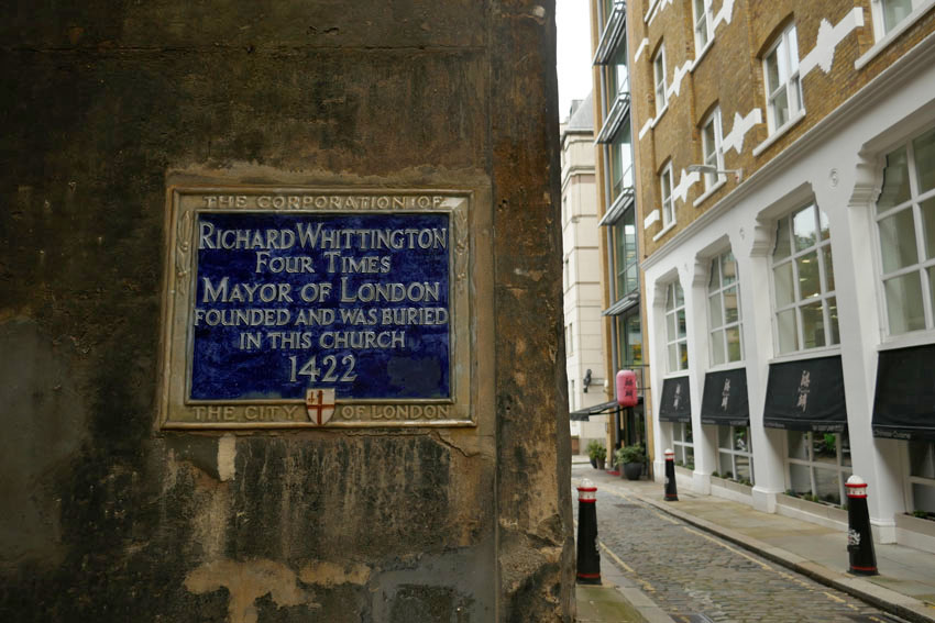
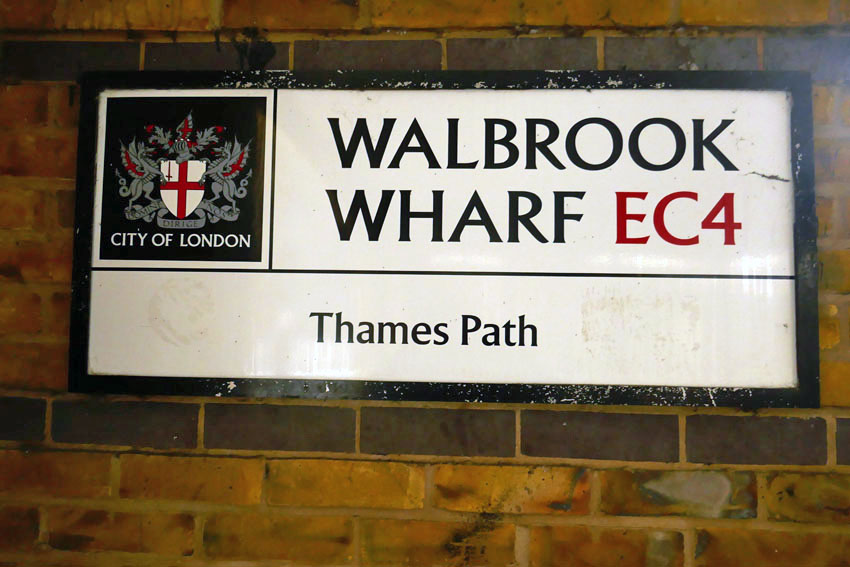
Just south of here, within sight of Cannon Street Station, is the Church of St Michael Paternoster Royal. Alongside are Whittington Gardens, named after the famous cat-loving, four-time Lord Mayor of the city who is buried here. This was the original location of confluence of the Walbrook with the Thames – the mighty river has shifted south in the two millennia that has passed since Roman times. Upper Thames Street now flows with traffic where once the tidal river lapped. The modern confluence, theoretical as it may be, lies not far away along Cousin Lane, a narrow street that traces the long wall of Cannon Street Station down to the railway bridge over the Thames. Here there is a pub and steps leading down to the water. There is also a river path that leads west along Walbrook Wharf, where black barges lie tilted on the shore awaiting the incoming tide.

The tide is out and so I descend to the beach, which is covered with assorted pebbles, water-blunted bricks and a few rusted scraps of iron. Scattered among the pebbles, a small piece of pottery reveals itself at my feet – curved, brown; reassuringly rustic. Roman? Who knows, probably not, but somehow it feels right. A votive offering – it marks the place where London began.

Much of the fabric of Birmingham’s history is, like the city’s modest river, the oft-culverted Rea, half-hidden or tucked away from sight. Occulted beneath flyovers and underpasses, the city’s past flows sluggishly beneath redundant factories and car parks. Unconvincingly disguised, and with the vaguest hint of rusting metal, it escapes as vapour from drains and manholes. It goes with the territory: this is a city where there is a strong tendency for destroying evidence of the past, of knocking things down only to build them again in rearranged form. As the city’s coat of arms proclaims in its simple motto, it is the Birmingham tradition – ‘Forward!’ The subtext is ‘Don’t Look Back!’ The past is bulldozed. Even so, modern high-rise Birmingham, brash and shiny though it may be, is replete with ghosts of the past, of industry, of once busy factories and workshops. The whole city is a ghost factory.

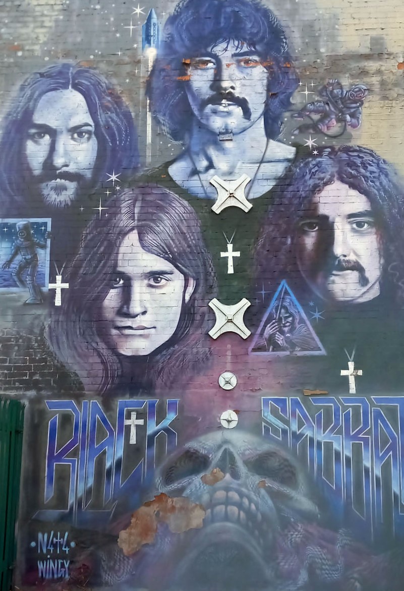
These days there is a new-found reverence for some of Birmingham’s more iconic anti-heroes. Peaky Blinders with its skewed myth-making has afforded the city some retro-gangster glamour, while established city brands like Black Sabbath have become the stuff of legend. Now there is even a Black Sabbath Bridge on Broad Street spanning the canal, where the likenesses of Aston’s own heavy metallists – Geezer, Bill, Ozzy and Tony – are immortalised on a bench (iron, naturally). Who’d have thought that in the halcyon days of my Birmingham Town Hall gig-going youth it would be faux-demonic Black Sabbath who would be chosen as the musical emblem of the city? My money would probably have been on the Moody Blues or Roy Wood.

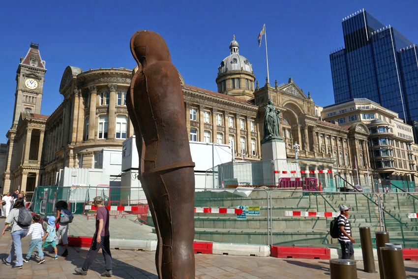
In Victoria Square, the neoclassical Town Hall is just as I remember it, all pale stone and Corinthian columns, but its immediate surroundings have changed dramatically in recent years. A tram line now passes in front of it that follows a route through the Black Country to Wolverhampton, somewhere that seems exotically distant from this city centre ground zero. Between the town hall and the tram tracks stands Antony Gormley’s Iron:Man, a six-metre-tall leaning metal figure that pays tribute to Birmingham’s erstwhile industry, its original heavy metal heritage.

Head downhill from Victoria Square, past the stainless steel, baking foil roof of New Street station, past the aluminium-disc-clad blobitecture of Selfridges, through the Southside district and the areas that are now marked on maps as Gay Village and Chinatown. Soon you’ll arrive at the former industrial district of Digbeth, which nowadays is probably the closest thing Birmingham has to a Bohemian quarter. This part of the city is actually the oldest quarter, the location of the original Saxon village at a ford on the River Rea, around which the satanic mills of Victorian Birmingham would later cluster.
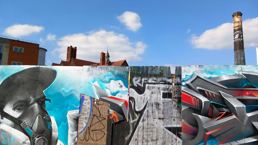
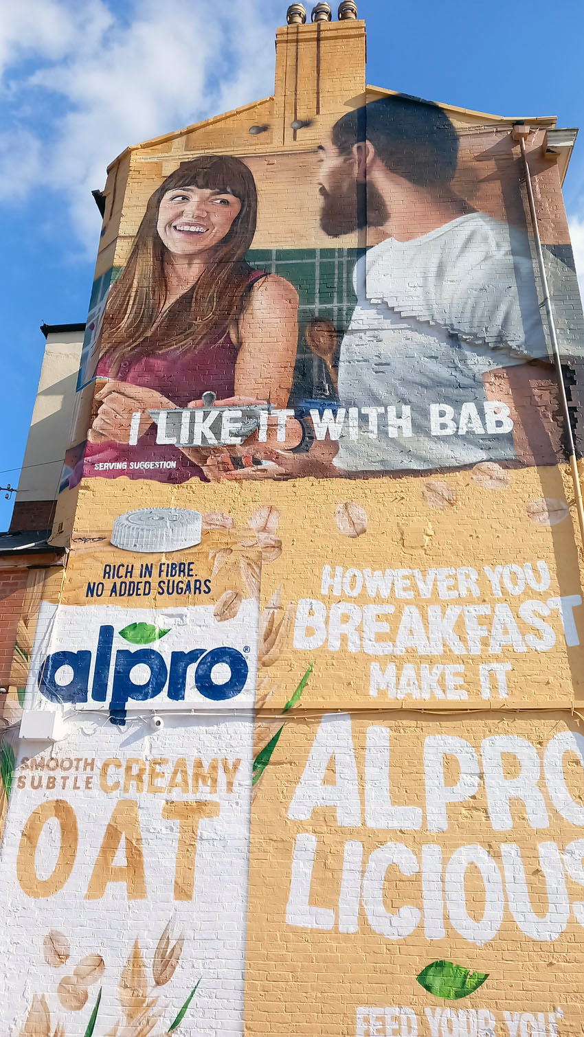
Digbeth High Street is in a state of flux, one side of it enclosed in chain-link. Gentrification might be too strong a term, but Digbeth is undergoing change: empty factory sites are being cleared to await new development. Tram tracks are being laid down; pavements are being widened and made pedestrian-friendly, flower beds are being set out awaiting planting. The side streets that slope down beneath the railway arches are lined with one-time industrial buildings that have morphed into event spaces – ghost factories stand at every corner. The wall murals that abound have already been here long enough to develop a patina of age. As I wrote in an earlier post, the transformation has already been going on for several years.
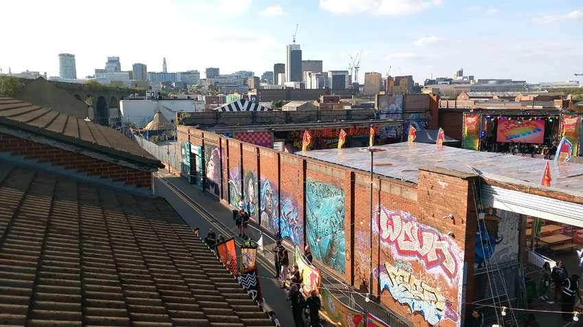
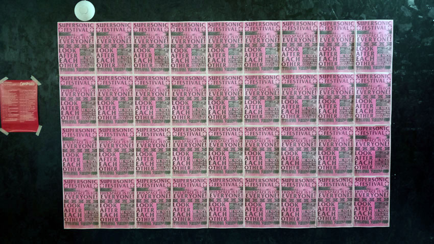
Digbeth is the location for Supersonic, an annual festival of experimental music that celebrated its twentieth anniversary this year. Supersonic is by no means a heavy metal festival but the spirit of Black Sabbath permeates like a benign, if mischievous, presence. Performances take place in two neighbouring buildings, one of which served as a warehouse in a previous life. Dark clothing is almost de rigueur, as are Sunn O))) T-shirts. Light-hearted doom is perhaps the oxymoron that best fits an atmosphere that I can only describe as feel-good apocalyptic. The music is loud but the mood is calm; the ethic is kind, inclusive and super-friendly. Perhaps it helps that this is Birmingham. Would it be the same in Manchester or London?
The Sunday night headliners Lankum play a glorious set of drone-laden alt-folk to an ecstatic crowd. Alternating between heart-rending murder ballads, frantic Irish jigs and dark sea shanties, the music veers from gentle to violent, from elegiac to almost frightening. In one of the between-song chats with the audience, guitarist Daragh Lynch mentions that he was delighted to discover that both of Sabbath bassist Geezer Butler’s parent’s were Irish and concludes from this that heavy metal must therefore be an Irish invention. We all laugh. But Birmingham, and especially Digbeth, did once have a sizeable Irish presence. It’s all part of Birmingham’s proud black, white and brown cosmopolitanism. The city was built on metal and people. Iron Man (Black Sabbath); Iron:Man (Antony Gormley) are both worthy tributes. While Birmingham’s iron has rusted to be replaced by stainless steel and aluminium, its people shine on.
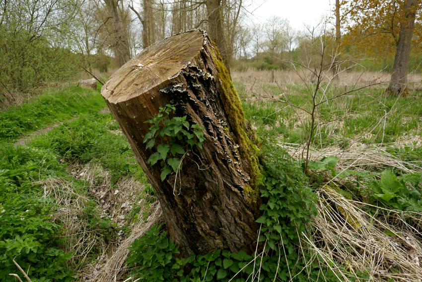
For a number of reasons it had been weeks since I had ventured out of the city for a walk. Cities are fine but brick, concrete and tarmac can get monotonous: too much noise, too much body swerving of fellow humans and traffic. I wanted water and trees, a church or two maybe; breeze and birdsong, a chance to breathe. So I took the train to Brandon in the Brecks.
Leaving the station I walk south along the main road towards the town centre and then, after crossing the Little Ouse River and the county boundary into Suffolk, turn left down a minor road called White Hart Lane. Here, almost immediately, is an edgeland of newly built bungalows on one side of the street and fenced paddocks on the other, although the separation between urban and rural is fluid in places like this.. Beyond the paddocks is a line of trees that hides the river. Brandon lies in the midst of a large forested expanse – the vast conifer plantations of Thetford Forest – and a sort of unthreatening wolf border rings the town. The forest is relatively new, though: just over a hundred years old – considerably less than the life span of many trees. Before the intervention of the Forestry Commission in the 1920s and 30s, this expanse of southwest Norfolk and northwest Suffolk was a relatively infertile, sand-blown region where the main industries were flint mining and raising rabbits for the fur trade. Indeed it was overgrazing by large rabbit warrens that was partly responsible for the poverty of its soil in this dry region known as the Brecks.

White Hart Lane gives way to Gas House Drove, a narrow lane that traces the back walls of gardens. More paddocks stretch away towards the river to the left; ponies graze unworriedly. There are notices attached to field gates that request visitors not to feed the horses; other signs inform would-be horse thieves that the animals are electronically tagged and fully traceable – the equine equivalent of ‘no cash left in this vehicle overnight’. Further on, beaten up caravans and abandoned rusting cars enhance the edgeland feel – a seldom observed zone where the accepted rules of orderliness do not apply.

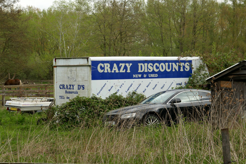
The track narrows further as it threads through tall pines. Crossing a wide woodland ride I come across man on a mobility scooter walking his dog. ‘Is it straight on to Santon Downham?’ I ask. ‘It is if you want to take the scenic route,’ comes the cheerful reply. So I take the ‘scenic route’ and soon arrive at a cluster of houses around a large green – the village of Santon Downham – where a telephone box has been repurposed as a booth for a defibrillator. The box also serves as a library. I scan the books, Len Deighton’s mostly, but there is also a DVD of Sexy Beast, a personal favourite that stars Ben Kingsley as a sociopath gangster in a role that is a far cry from the actor’s portrayal of Gandhi earlier in his career.
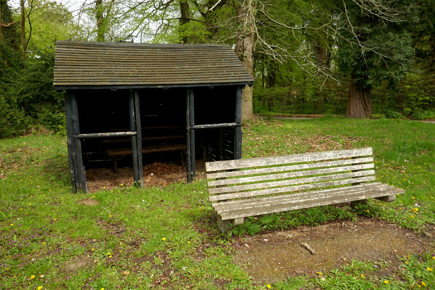
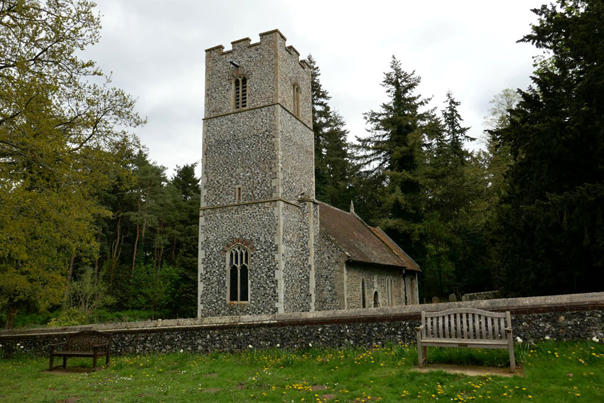
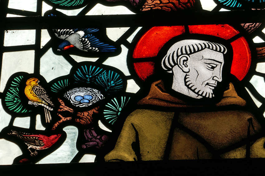
The Church of St Mary’s, the self-titled ‘Church in the Forest’, is on the far side of the green. I venture inside to find the bright unfussy interior illuminated by dappled forest light filtered through stained glass. One window featuring St Francis is particularly charming as it depicts the saint surrounded by the sort of birds that are local to the Brecks – crossbill, golden pheasant, kingfisher, heron and barn owl. While it is endearing, it doesn’t flinch from realism – the owl is shown holding a freshly killed mouse in its beak.
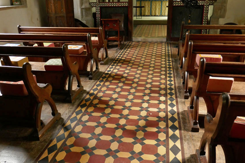

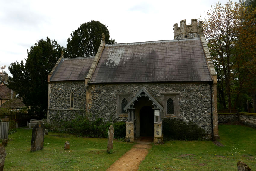
The river is not far away and I end up at the footbridge by the St Helens Picnic Site on the Norfolk bank. A group of youths with rucksacks are lounging by the water and I identity them as Duke of Edinburgh award initiates although I could be wrong. A few minutes later they march off together in an easterly direction, some individuals clearly more enthusiastic than those who straggle at the rear. A little further along the road is Santon House where the tiny Church of All Saints stands complete with tiny turreted tower. I take a quick look inside before sitting on a bench outside to eat the sandwich I had brought with me. A chaffinch sings perched on the very top of a pine tree, cock of the walk, although the jackdaws shuffling proprietorially around the picnic site probably think differently.
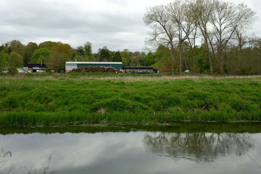
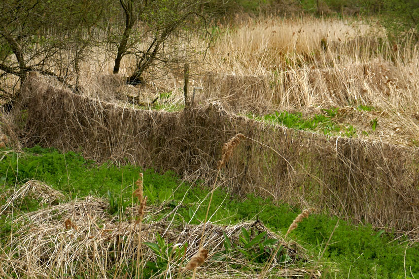
Back at the St Helen’s footbridge, instead of crossing back to the Suffolk side I follow the path that leads west along the river’s north bank. A few hairy Highland cattle are slumped in the long grass of the meadow between the road and river. Mature willows line the riverbank; it looks like perfect otter territory but these are elusive creatures and I see no sign of them. Reaching the bridge at Santon Downham I decide to continue along same river bank all the way back to Brandon. Although the path is well-defined and firm underfoot, the surrounding landscape is pleasingly unkempt, with plenty of rotting timber and tangled dead grass that has weaved itself into a carpet over posts and fences. Nature, I am told, thrives on untidiness such as this.
I meet a group of birders coming the other way: green-clad middle-aged men with sensible outdoor clothing and expensive German optics; one of them carries a heavy tripod with mounted SLR. They tell me they are on the lookout for lesser spotted woodpeckers. This stretch of riverbank woodland is supposedly one of the most likely places to see these elusive birds in East Anglia. They have had no luck as yet but they accept their failure gracefully. We compare notes. I have seen the mandarin duck and grey wagtail they mention, and had heard greater spotted woodpeckers drumming away unseen on my way to Stanton Downham on the Suffolk side, but lesser spotted…no.
Lesser spotted woodpecker: it sounds like a made-up name, the sort of thing a non-birder might come up with to make fun of those with an interest in birds. While to some ears it might sound prissy and pedantic, to the average birder it is merely a precise non-Latin description of appearance and habit.
Thoughts of the bird transport me far away in space and in time. I tell the birders that I have not seen a ‘lesser spot’ for decades but this is not strictly true. A memory comes back of a trip to Japan in 2015 where, walking a trail through cedar forest south of Osaka, a lesser spotted woodpecker flew down to a low branch close to where I had sat down for a rest. It was a fleeting view but an unexpected one in a country where birds, other than ubiquitous large-billed crows, seemed quite elusive. Much of Japan is anything but unkempt and nature is contained and controlled – topiary is unbounded, trees are pruned within an inch of their lives, rivers are canalised. Then I thought back to a time decades earlier in south Norfolk where a lesser spotted woodpecker had nested in a branch above a footpath close to my rented cottage, a place that I called home for three years. A small, undemonstrative black and white bird: like so much else they had become rare and were now one of our fastest declining species. Who would have thought a shy, sparrow-sized bird could evoke such a sense of loss and trigger that sense of emotional distress associated with environmental change known as solastalgia*? At least, here in the untidy, bird-rich woodland that flanks the Little Ouse River, there was still hope. After all, nature thrives on untidiness.
*Solastalgia – a neologism coined by philosopher Glenn Albrecht in 2005, which he describes as ‘the homesickness you have when you are still at home’ and is usually related to environmental change in a home environment.
In the past I have chosen a rural walk to celebrate the turning of the year; this year though, I have opted for something more urban. Together with my friend, Nigel Roberts, I continued along the route we had both been following for some time: London’s Capital Ring. For this midwinter walk it would be the moderately hilly stretch that lies between Greenford and South Kenton in London’s northwest outer suburbs.
We convene at the small coffee bar at Greenford Underground station. The low winter sun is unseasonably bright in our faces, intense enough to require squinting. Light counts for everything at this time of year. Setting off under the railway arches we walk past the appropriately named Rising Sun pub and the entrance to a massive retail park. Soon, we reach the path that will take us up Horsenden Hill. The hill is one of the highest points in north London, and even halfway up the slope the view opens up to the west in the direction of Heathrow, an aerial procession of slowly descending aircraft confirming the hill’s location on the approach flight path.
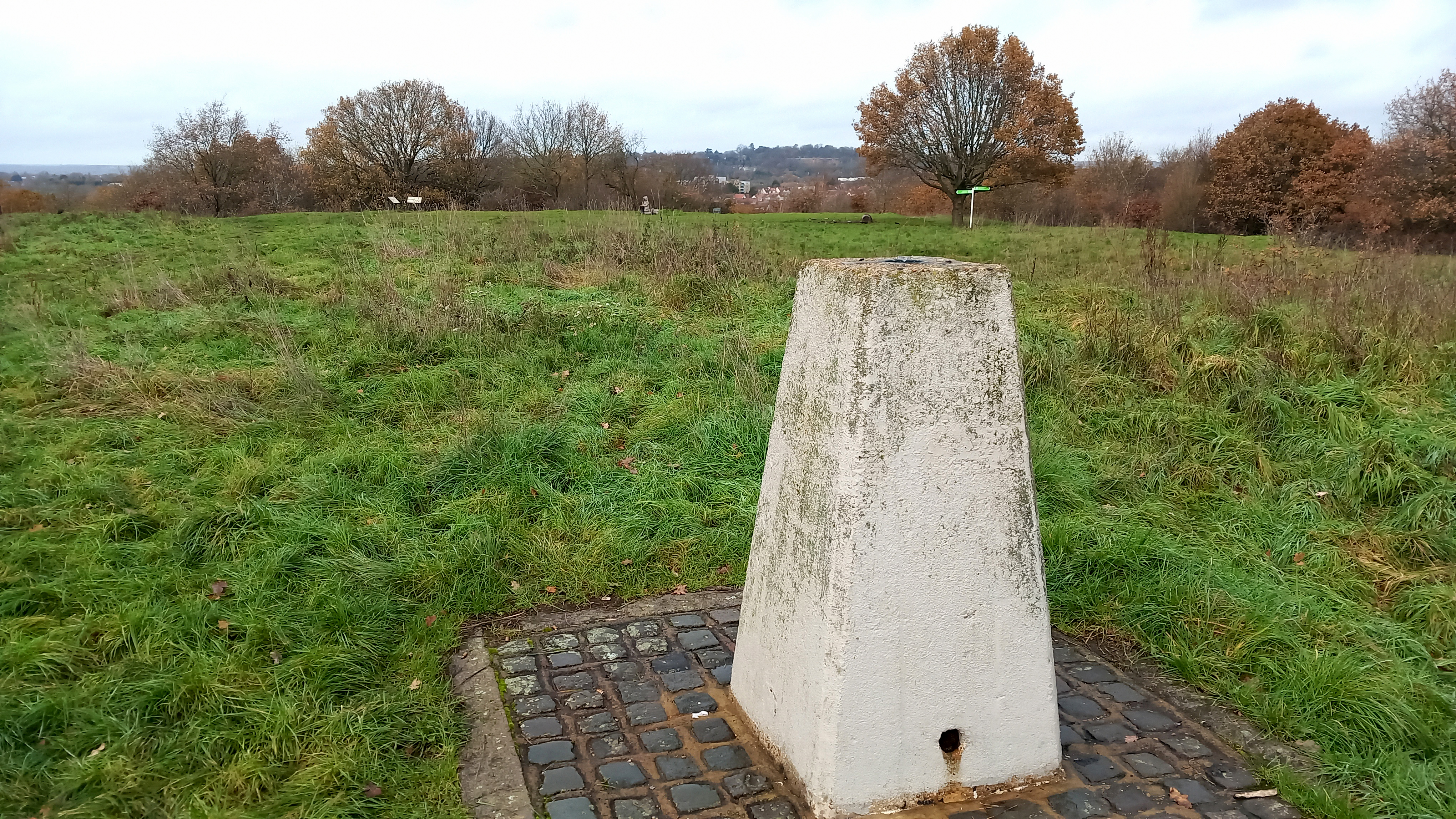
The hill was once an Iron Age settlement, and before this it was sometimes frequented by Neolithic flint knappers. The summit is furnished with a concrete trig point and a few benches – most have the seat part absent, rotted away or stolen for firewood. Up here, it is countryside quiet with no hint of city clamour although we do come across a few fellow wanderers: the men we see are mostly seated alone on benches with a can of lager in hand; the women, in contrast, tend to be walking purposefully, avoiding eye contact as they stride ahead. Who can blame them? Lone figures in the landscape engender a sense of melancholia and it is easy to assume that these are people with the weight of the world on their shoulders. But I know that when I am out walking on my own a casual observer may well think the same about me. The truth is: I enjoy walking alone sometimes; it is a pleasure, however it might appear.
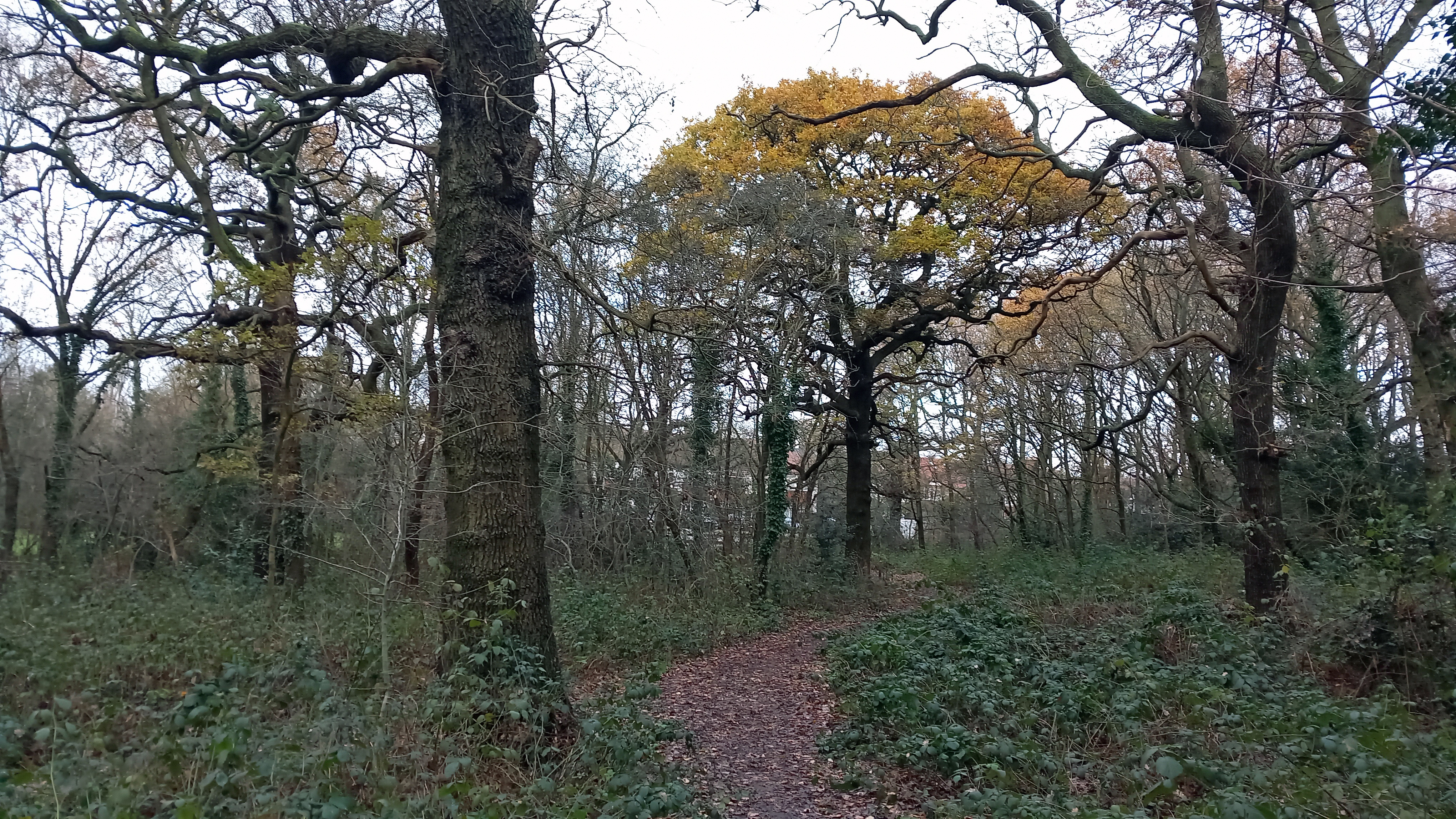
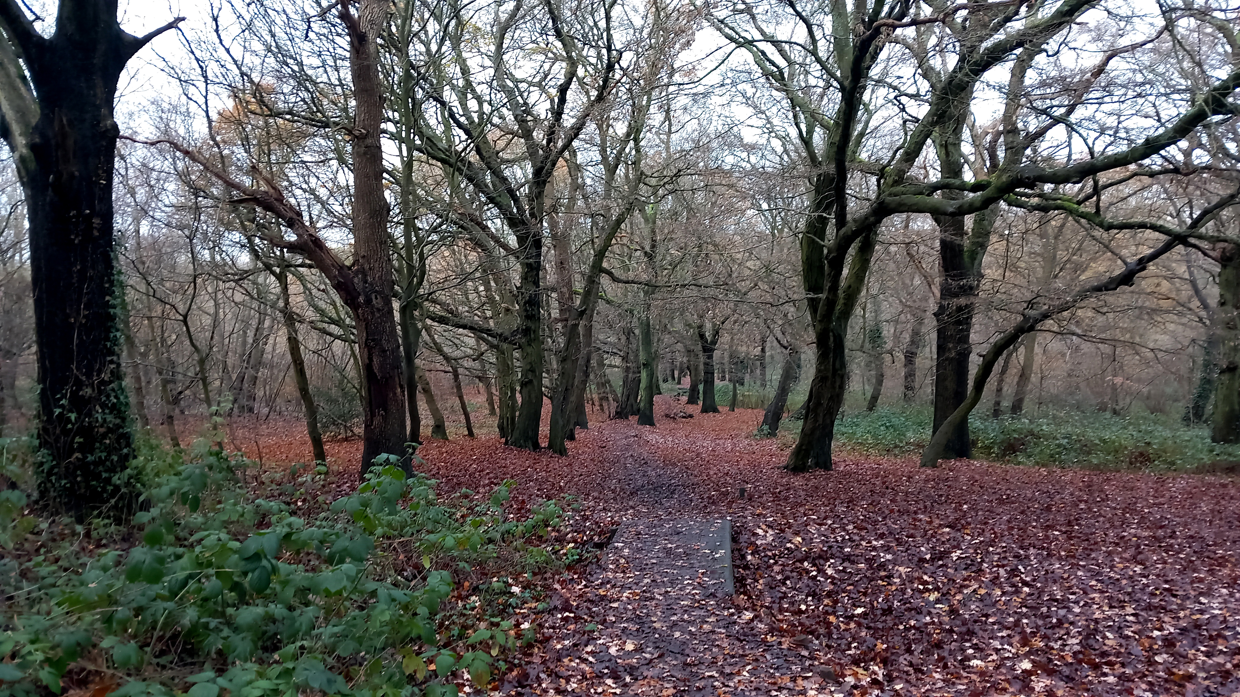
The path leads us downhill through woods of oak and beech. Parakeets screech in the branches overhead. The birds are ubiquitous now and certainly, within the orbit of London’s suburbs, they are rarely out of sight or earshot. I had seen my first of the day hours earlier whilst entraining to London that morning, a sleek green figure that swooped over the carriage as we passed over the M25 on our way to Liverpool Street. Parakeets, corvids – magpies, crows, jackdaws – woodpigeons: these are the birds that have taken over the green spaces of the capital. Small birds have been chased away to find sanctuary in suburban gardens. It comes as a relief to hear the passive-aggressive song of a robin holding firmly to its territory.
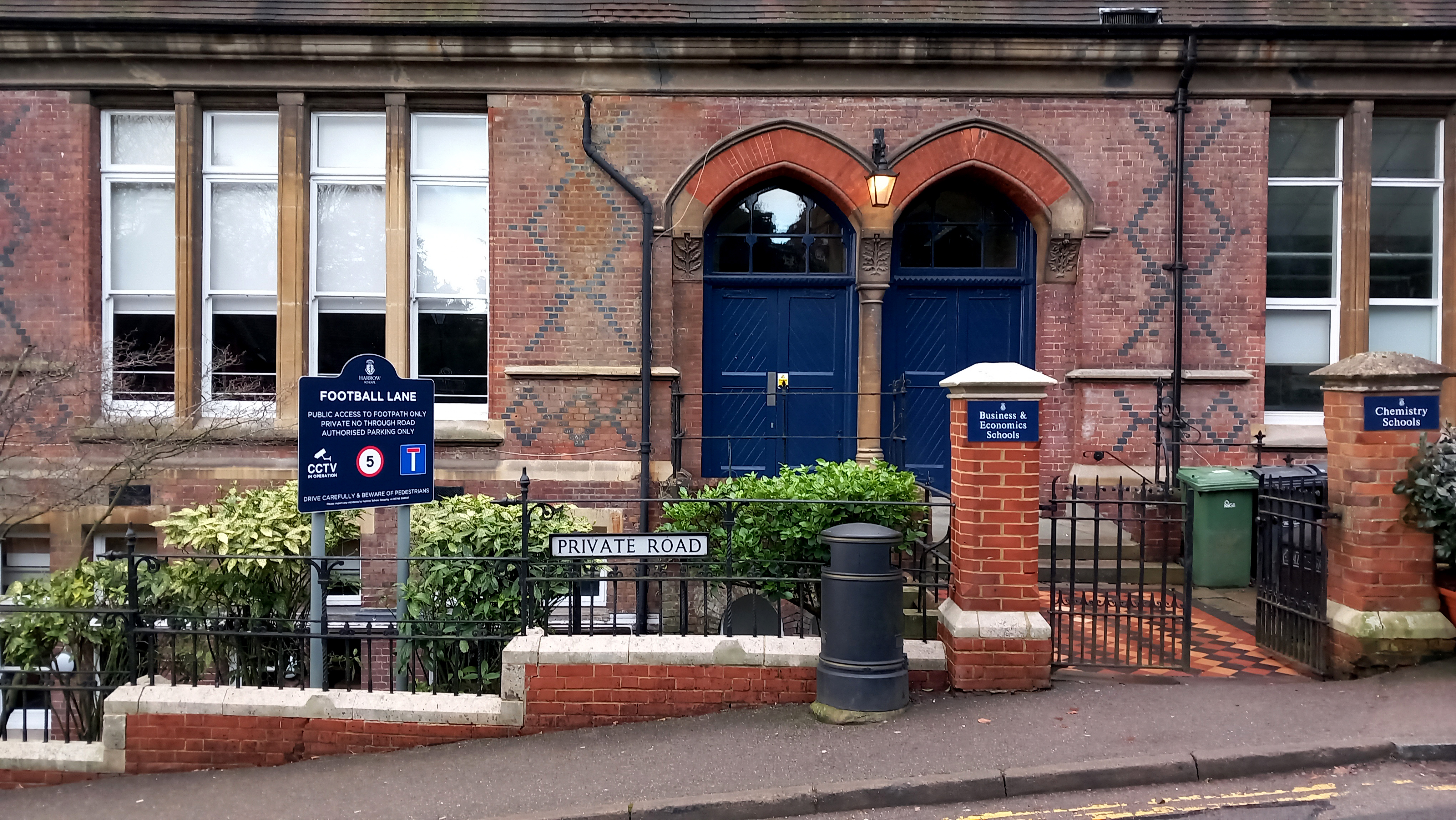
The route descends Horsenden Hill to Sudbury Hill before climbing again to Harrow-on-the-Hill. Harrow is as conspicuously wealthy as we imagined – huge house and gardens, security gates, high fences, a smattering of Arts and Crafts among the stylish mansions. Harrow – of Saxon derivation meaning ‘sacred grove’ – seems like a displaced Chilterns village: far enough from central London to give an impression of rurality; close enough to make commutes into the City feasible. It’s handy for the eponymous school too, of course. The various school buildings dominate the upper part of the village: crow step gables, decorative brickwork, signs announcing private property and CCTV. There’s a restaurant called Old Etonian that looks closed (even Harrow has to settle for being second best sometimes) and a specialist outfitters’ that displays various uniform items in its windows. The gaps between the buildings afford hazy views of the glass hi-rises of City of London, ten miles distant – a view that for many of the students is not so much aspirational but more a matter of destiny: inherited wealth, uncles that work in City trading; money, old and new, that regularly takes itself on holiday to the Caribbean.
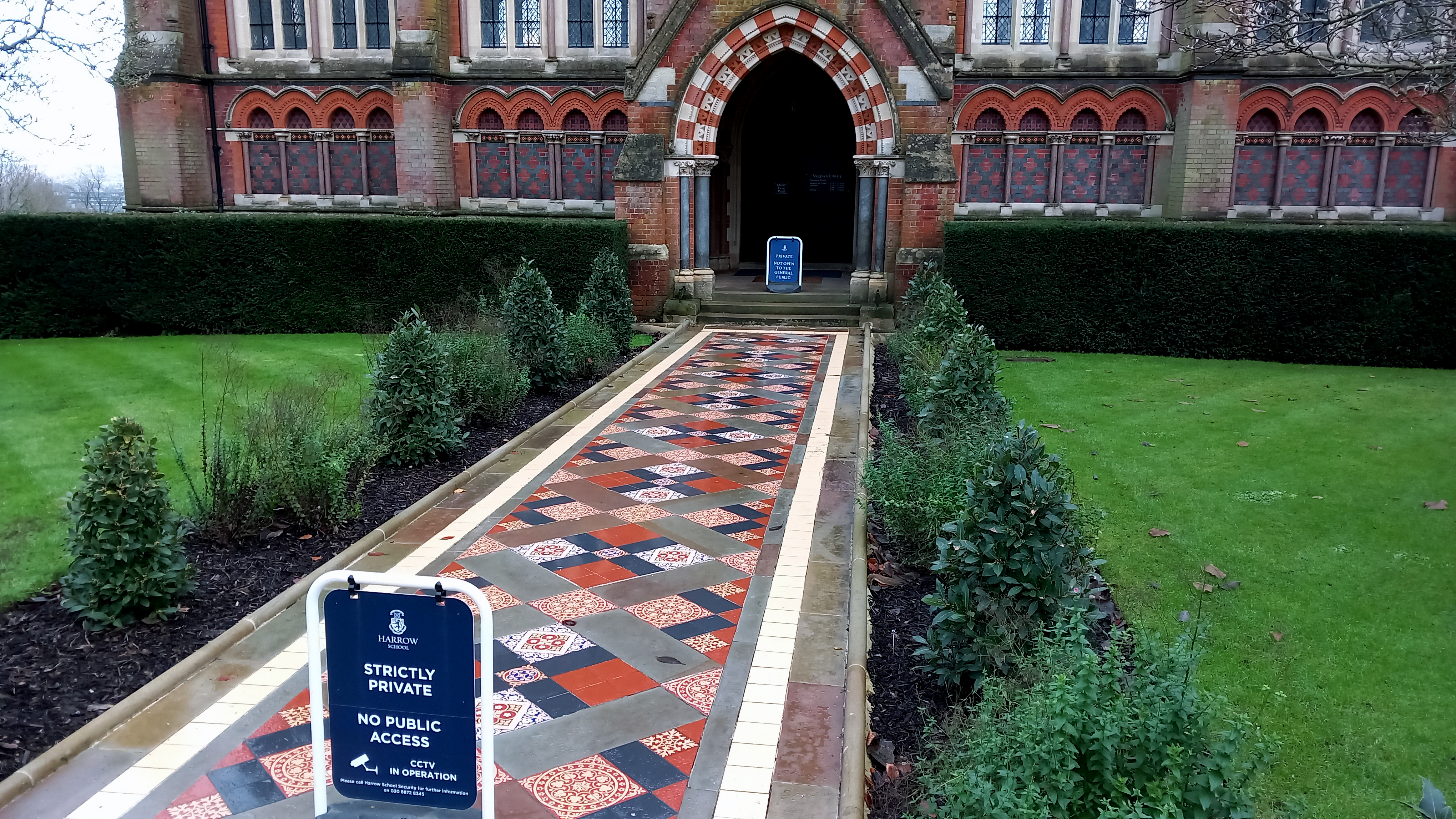
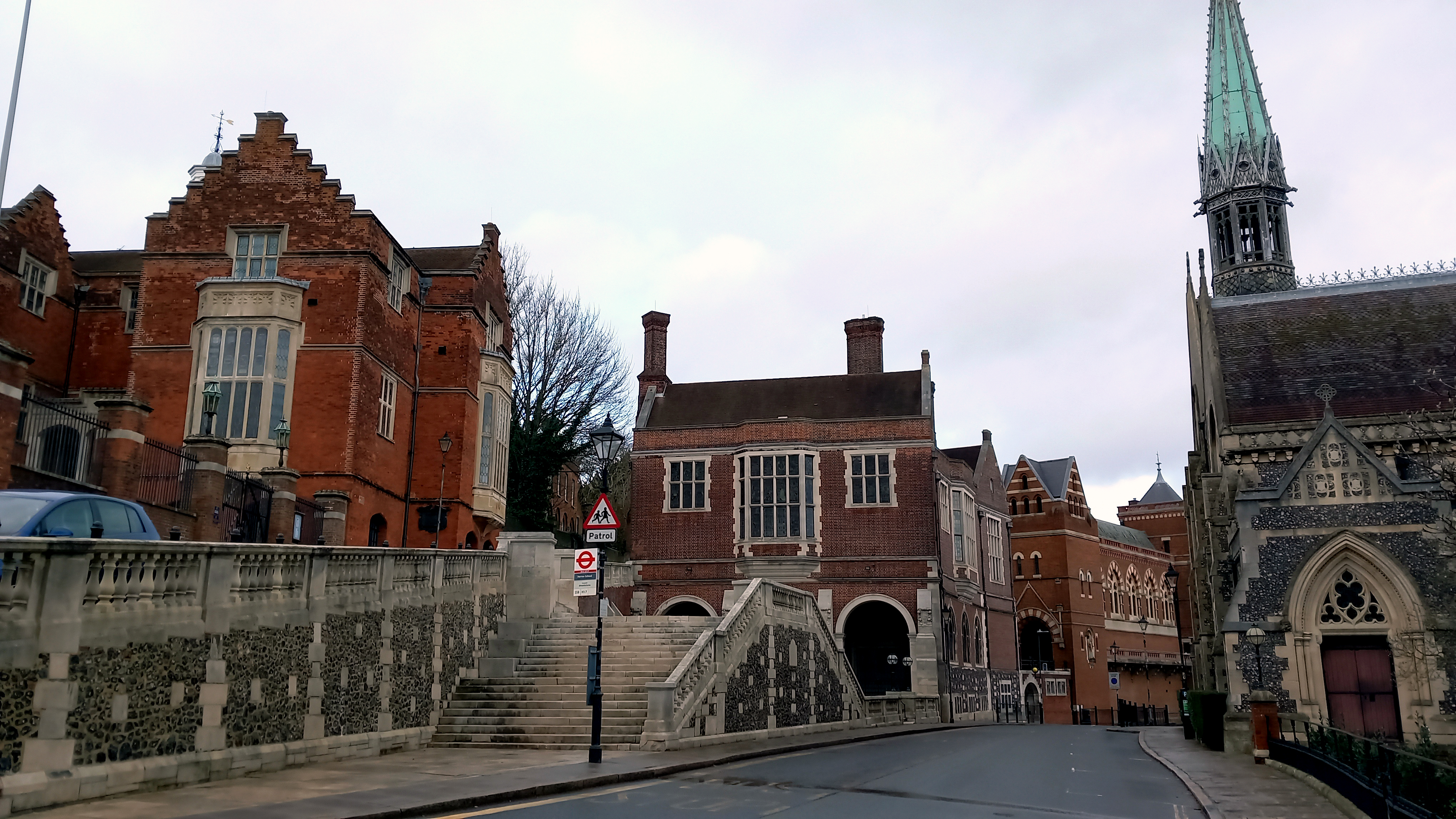
The flamboyance of the school buildings is one thing but it is on the playing fields that we pass through where the sense of privilege really hits home. Of course, to contemplate such things might be seen to participate in the politics of envy. But really it is the politics of inequality. The sheer scale of the sports facilities is breathtaking – a huge area with tennis courts, athletics tracks and so many football pitches that the widely scattered goal posts seem like hoops for a giant-sized game of croquet.
Eventually we leave the school premises behind to follow a track that traces the boundary of a hospital complex. Hemmed in behind lopsided Leylandii and a chain link fence, the side of the path is littered with disposable masks and drinks cans. In places there are signs of fly-tipping: old mattresses, a bin bag stuffed with large cuddly toys. When future archaeologists dig down to find the stratum that represents the Anthropocene what will they make of the artefacts they find there – the blue Covid masks, the slim energy drink cans and nitrous oxide canisters? Votive goods of some sort, or items connected with ritual use?
The underground station at South Kenton, our anticipated end point, is closed for repairs. So we walk to Preston Road then take the Metropolitan line to Baker Street. After beers and a Lebanese meal we head to Oxford Circus for our respective tube lines. Oxford Street, unlike the near lifeless streets of the outer suburbs we encountered earlier, is frantically busy with shoppers. Christmas lights in the form of brightly illuminated snowflakes span the street above our heads. Light is returning. As reliable as ever, the year has turned.
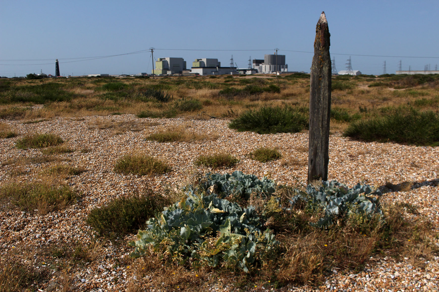
Now, with the promise of autumn in the air, it feels almost nostalgic to look back on those hot days of just two months ago: the end of July, record temperatures; the countryside baked and arid. A visit then, to Dungeness on the Kent coast, a headland jutting out to sea just to the east of the Sussex border. One of the largest expanses of shingle in Europe, it is a fabled place. Hitherto unknown, my only reference points are those places closer to home like Norfolk’s Blakeney Point and Suffolk’s Sizewell and Orford Ness where, until recently at least, there was a lighthouse. Dungeness, I learn, has two – an old and a new; like Sizewell, there is a nuclear power station. Like both, there is shingle galore.
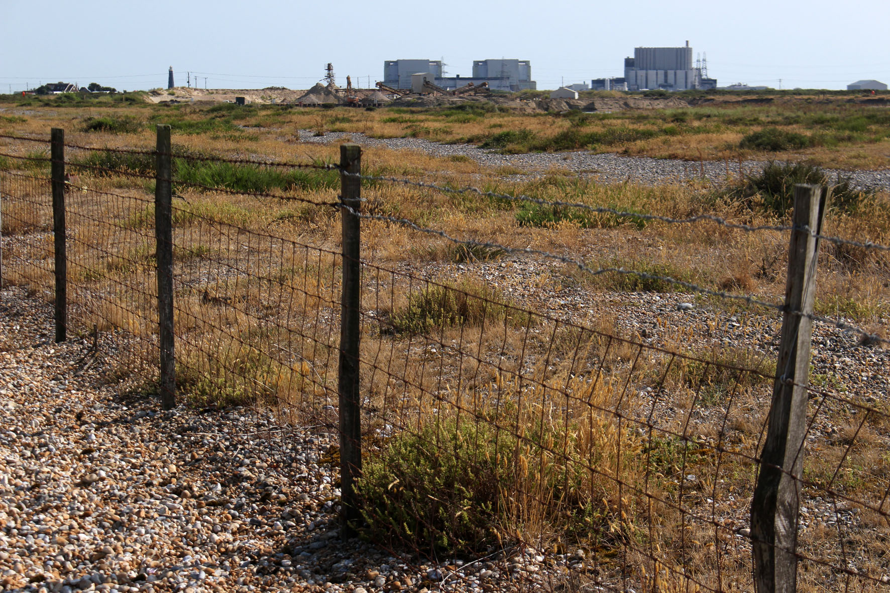
The modern mythology of Dungeness precedes it. Much of it is connected with the filmmaker Derek Jarman, who lived here in a fisherman’s cottage in the 1990s. We arrived on what was predicted to be the hottest day on record and stayed overnight at a B&B on the coast road at nearby Lydd-on-Sea. The shelved beach was entirely of pebbles, nearly all flint, most of which were black although some were a warm shade of amber. I clambered awkwardly across loose, sun-blasted stones to take a swim, glad of the water’s relative coolness. The sea was tepid mulligatawny, warmed by the incoming tide flowing over hot pebbles. Across the bay lay the white low-rise of Folkestone, and beyond this Dover’s celebrated cliffs. Later, when the air cleared a little, we could see Boulogne gleaming across the Channel. Boulogne-sur-Mer: another country, closer here than even the horizon, although we, as a nation, were allowing it to drift from view. The water, the English Channel, had become both a salty barrier that kept us apart us as well as a fluid channel that connected us. The French, always better dressed, call it La Manche, ‘the sleeve’. Language has its own agenda; language slips from tongues and connives to confuse – La Manche: c’est la mer. La Manche: c’est le mur. La France: c’est l’amour.
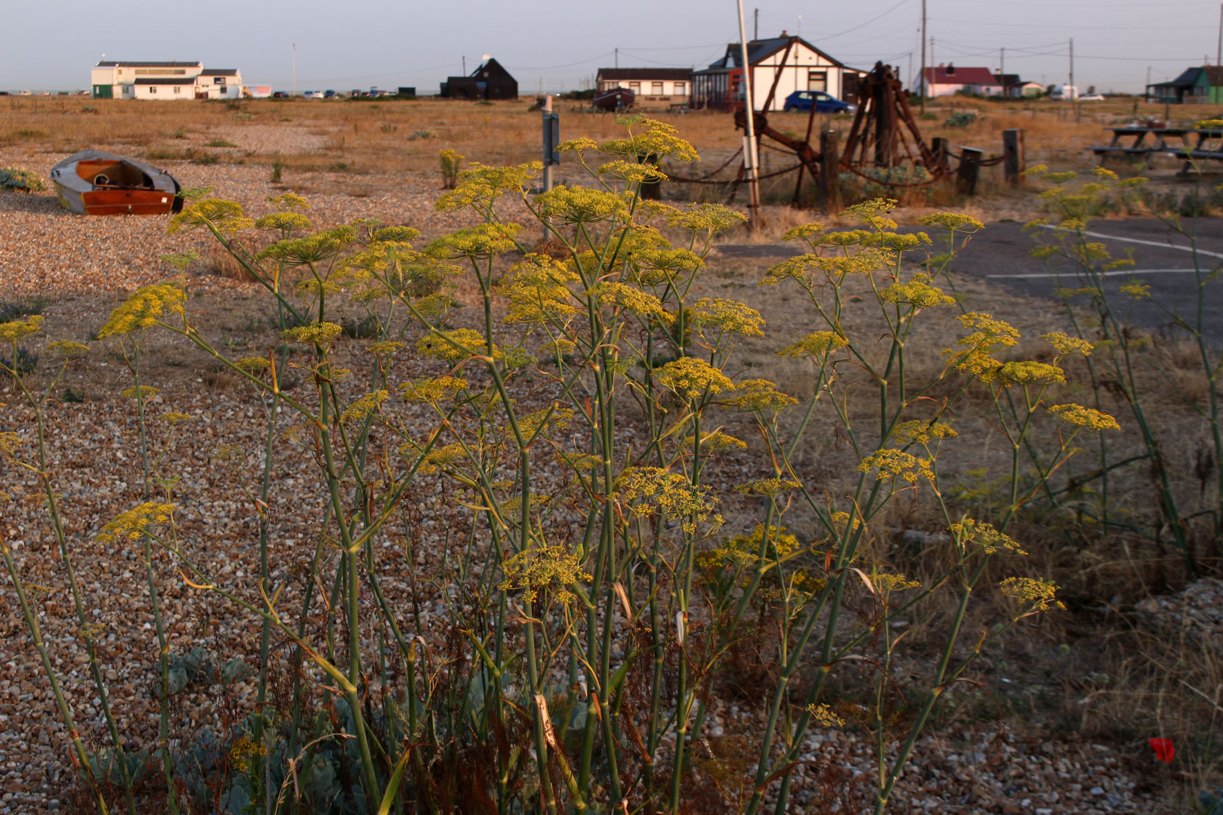
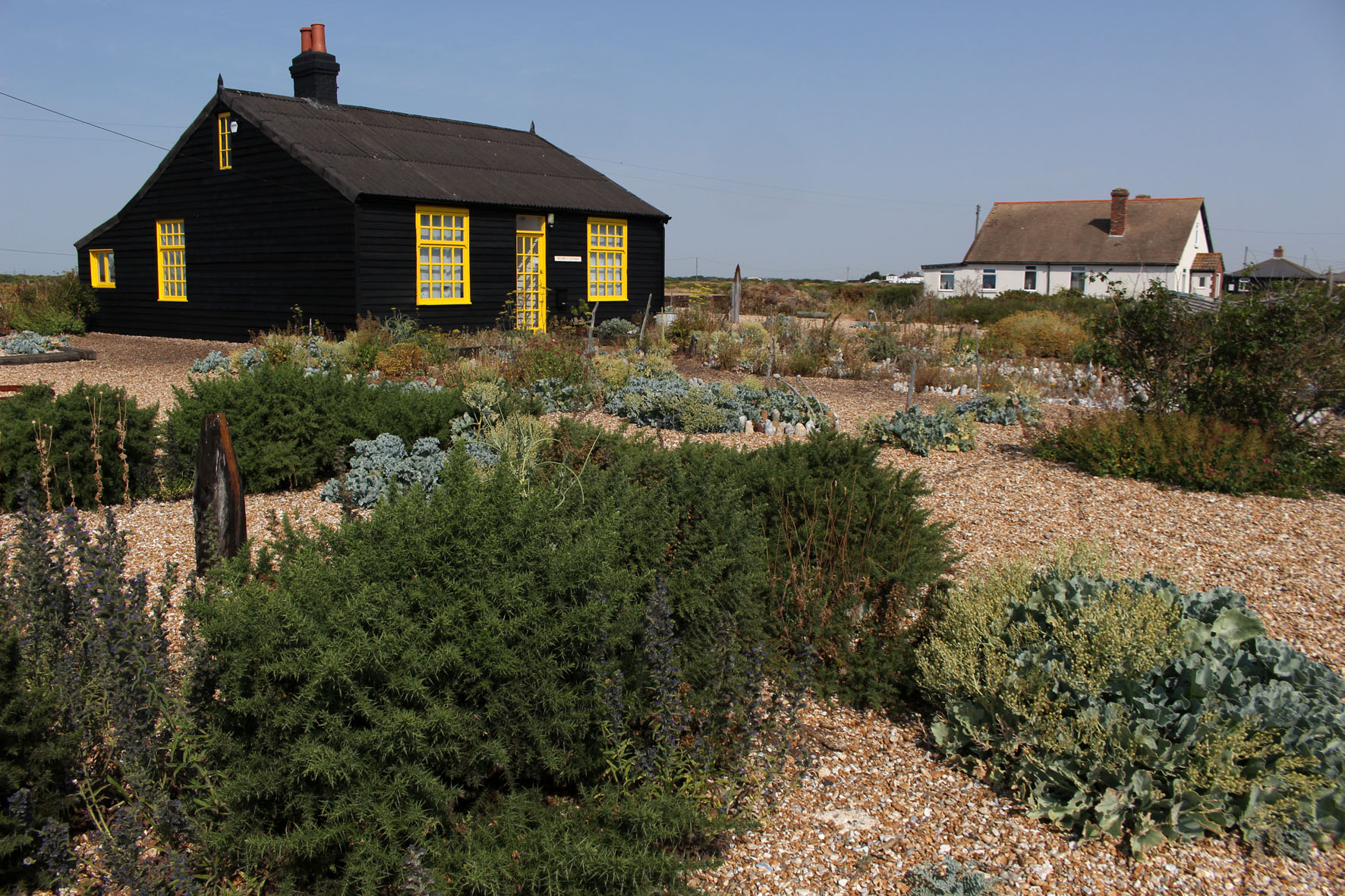
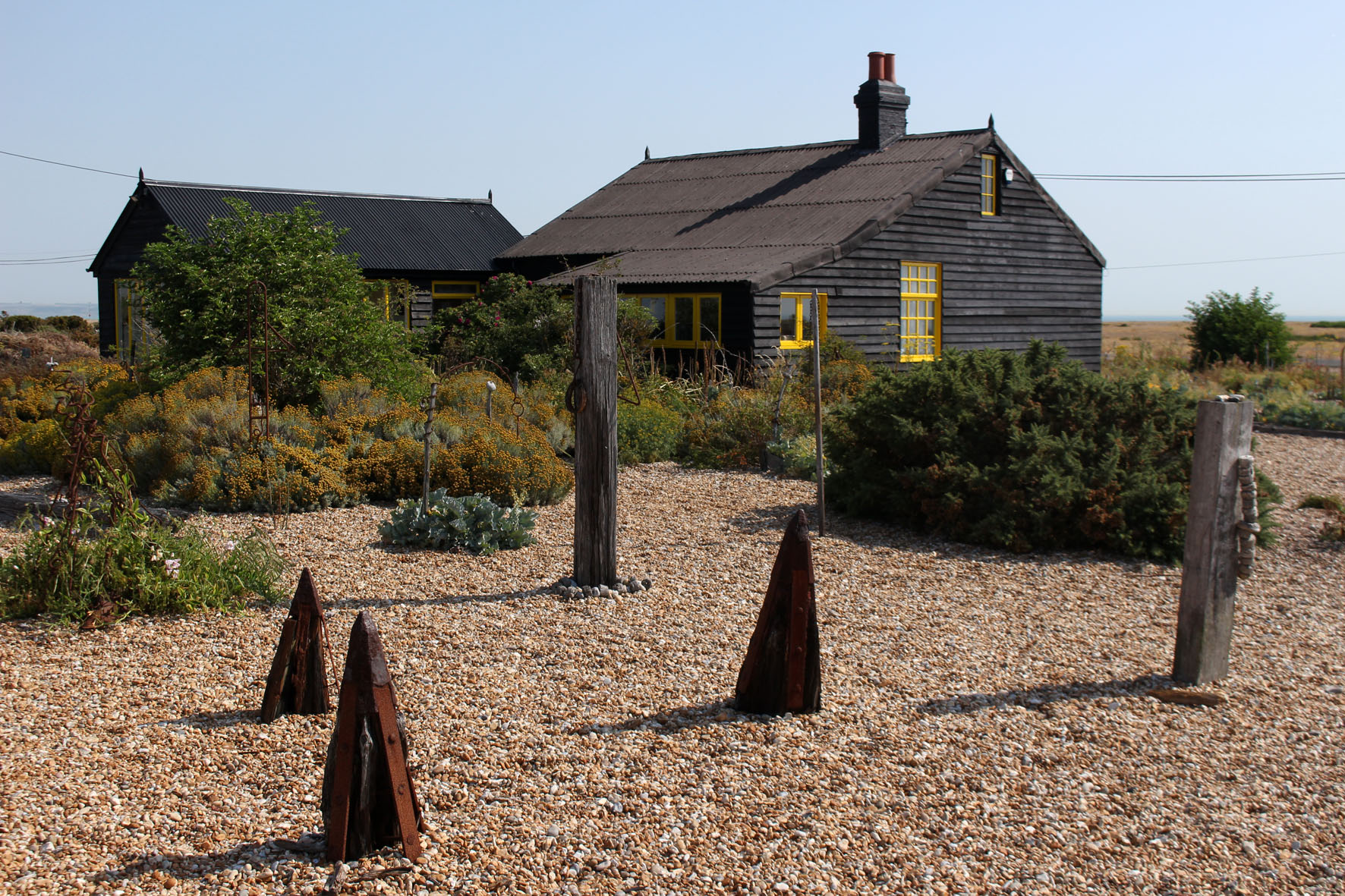
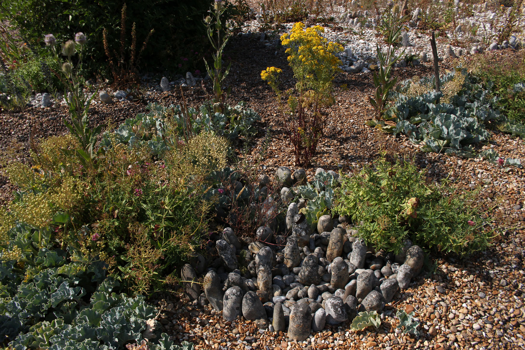
The next day really was the hottest day on record. We drove to Dungeness to find Jarman’s house. Prospect Cottage, black-painted wood with bright yellow window frames, looked to be in excellent condition. The cottage was close enough to Dungeness Power Station to be within the acoustic shadow of the menacing clang and whir of its machinery. The garden was clearly a work of love, a metaphor for Jarman’s dwindling years, an exercise in making the most of limitations: a temple to pebbles and the salt-tolerant flora that would grow in their presence – sea kale, yellow-horned poppy, red valerian, fennel and clumps of tough spiky grasses. Beach debris, like sea-bleached driftwood, provided makeshift statuary, while circles of larger pebbles were arranged like henges. Unlike most gardens it seemed an extension of the landscape rather than any sort of imposition on it. Here on a bleak shingle spit, framed by the terrifying machinery of nuclear fusion, was, as the title of Jarman’s book suggests, modern nature.
We drove on past the red and white banded new lighthouse to a pub close to the old lighthouse and the power station – the Britannia Inn (‘Fish & Chips, Pizza’), which had trestle tables lined up outside in its car park that afforded unbroken views to the concrete edifices of Dungeness B. It was hard to imagine something that could simultaneously be both so English and so weirdly incongruous. Signs in the shingle across the road warned of the necessity of a licence for filming and photography in specific areas. Like Orford Ness in Suffolk, Dungeness has become a brand with associated commercial interests. Membership cards of any psychogeographic-inclined affiliation were invalid here.
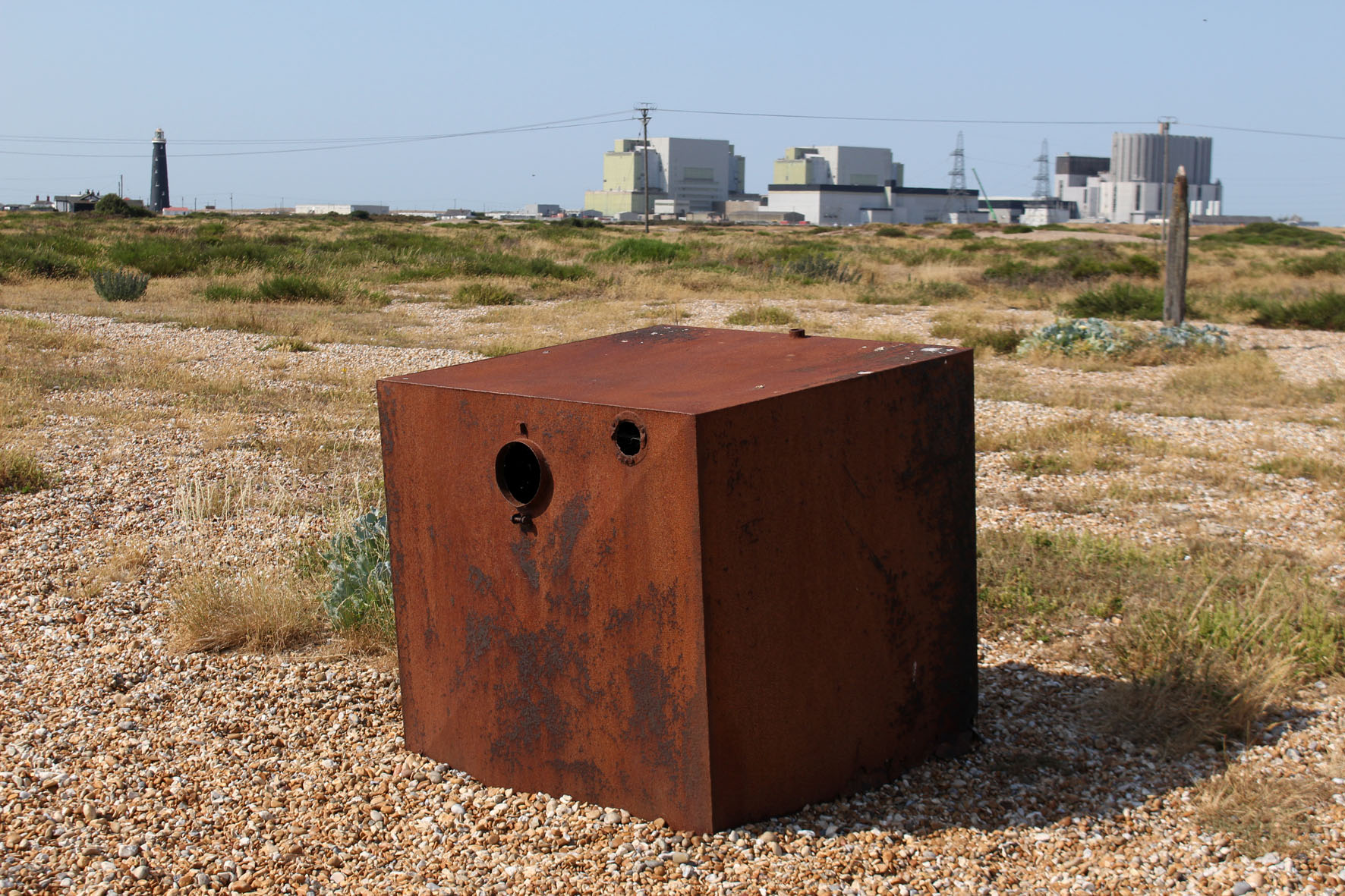
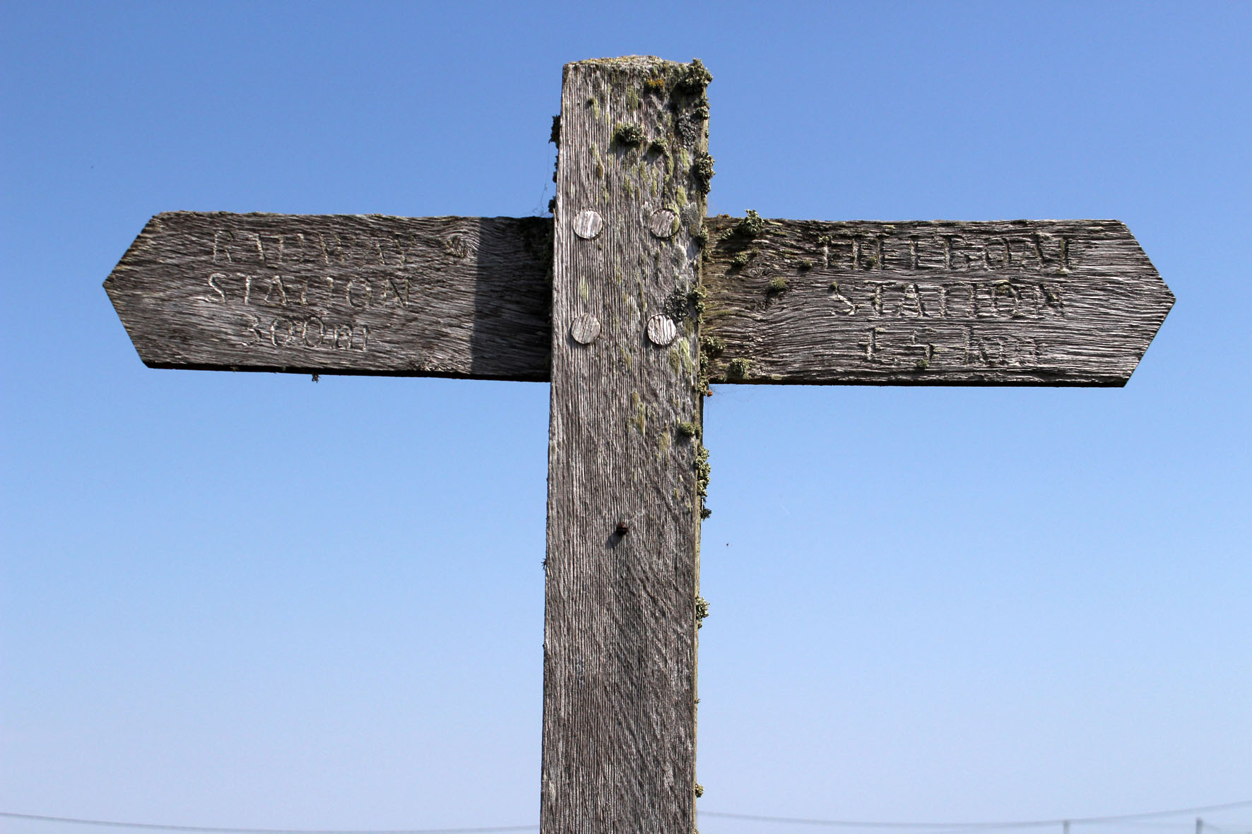

A boardwalk led across the shingle to a bench. Coming along it back towards the road were two policeman carrying binoculars. We had already noticed a large police presence in the area – patrol cars, transit vans with anti-riot shields poised above windscreen. At first, perhaps naively, I had thought it was a matter of security – keeping an eye on the power station, an obvious if not particularly vulnerable target for would-be terrorists. Then it dawned that they were here to watch the sea for migrant rafts. France was at its closest here and the English Channel was about as calm as it ever gets. It was high season for people smuggling.
Some of the houses that lined Marine Drive in Lydd had first floor balconies that looked out to sea. A few had flagpoles with flapping St George or Union flags. Here at England’s south-eastern edge, the Continental ‘other’ in plain view, expressions of nationalism appeared to be defiant and full-throated. I wondered what sort of welcome any raft voyager who successfully beached here would receive from those who had seen them approach through the telescope mounted on their verandas. Somehow I doubted that many would have the kettle boiling and the Hobnobs ready on a plate.
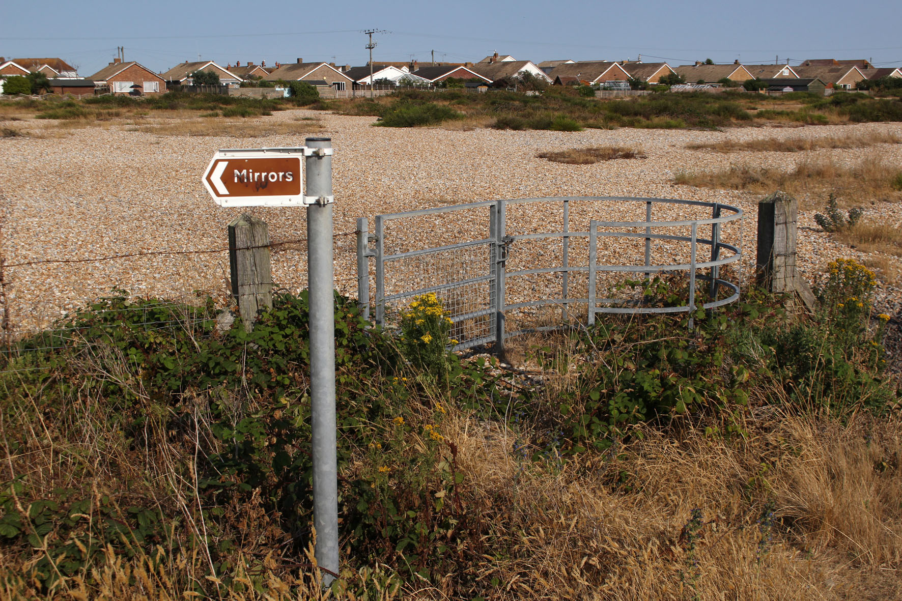
Dungeness’s watchfulness is nothing new. In the heat of the first afternoon I had taken a walk to see the Denge sound mirrors located on an island in what had recently been designated an RSPB reserve. Now designated Scheduled Ancient Monuments, the sound mirrors, constructed of concrete in three radically different designs, were built between 1928—1935 and were an intriguing precursor to the invention of radar just before World War II. Strange objects to find in any landscape let along here among the shingle and marshes of the West Kent littoral, the idea was that they would detect the sound coming emanated by low-flying enemy aircraft coming across the channel – an early warning system of ‘Listening Ears’ as they became known.
It was a historical fact, dictated by location and landscape, that Dungeness had long been keeping its ears and eyes open to intruders from across the sea. If such liminal places were ever to participate in a twinning scheme then Orford Ness in Suffolk, with its secret bomb testing facilities and comparable edge of the world atmosphere, would be a natural contender. Both Dungeness and Orford Ness watch and listen as the flint pebbles grind and roll on their beaches in ever-shifting Heraclitean flux. Panta rhei: ever moving, never the same, always the same.

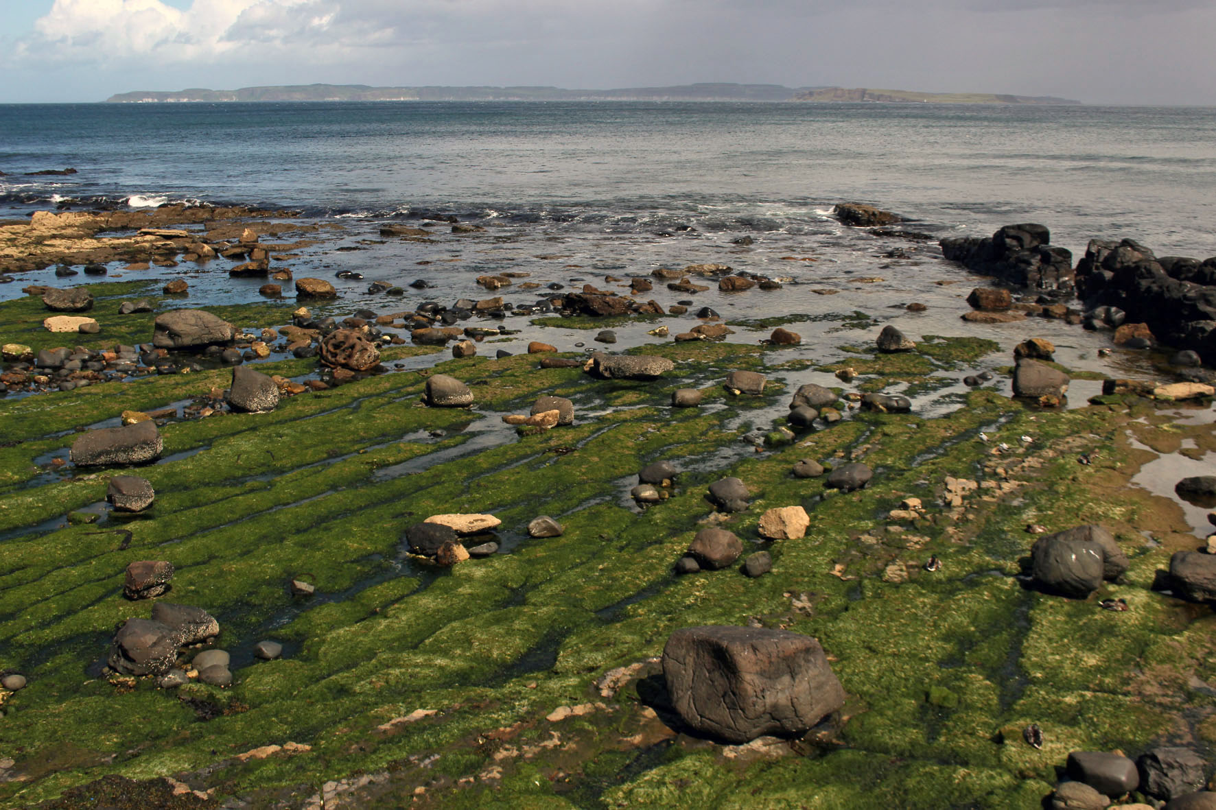
For one week this June this small island off the Antrim coast was a constant presence. The cottage we had rented stood high on a hill a couple of miles outside the resort of Ballycastle and the view to the north was an uninterrupted panorama of sea, sky and the long, low profile of Northern Ireland’s only inhabited island. The view depended on the weather, of course, which was something that changed constantly and wavered between overcast and mixed spells of sunshine and showers.
The L-shaped island that hugged the northern horizon was always visible, although in less clement weather it was sometimes little more than a hazy grey outline, a vague smudge that sat on the water. Sun or shine, two of the island’s three lighthouses were always in view, winking at intervals to alert shipping – the waters around Rathlin Island have a long history of shipwrecks and the remains of many unsuspecting vessels lie gathering barnacles at the bottom of the Atlantic close to its shore.
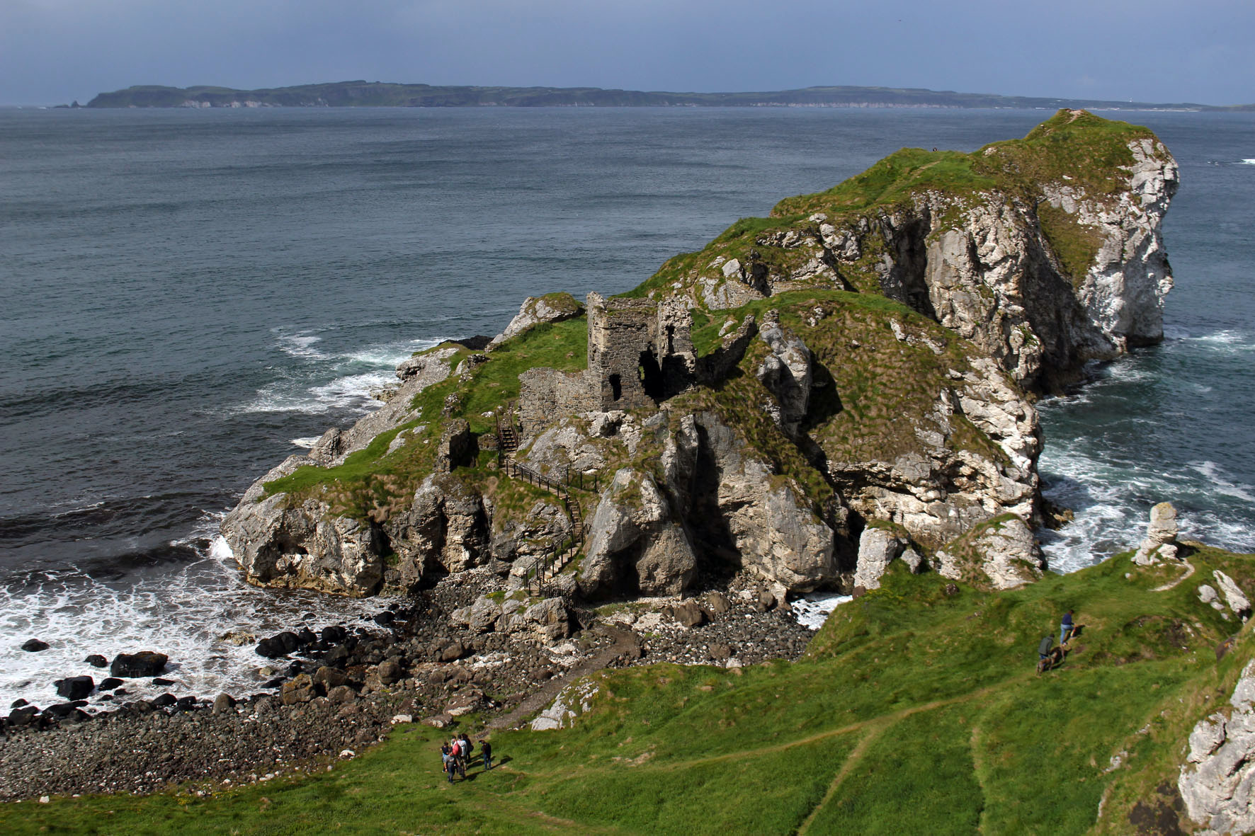
On sunnier days, more detail became evident and the island’s magpie cliffs of basalt and chalk could be clearly discerned, as could the houses and church of the village by the harbour. It was on these brighter days that other landforms also took shape on the horizon. Most days we could make out the southern end of the Scottish peninsula that is the Mull of Kintyre but now and then, far beyond the island, more distant places came into view – the hills of Islay and the unmistakable rise of the Paps of Jura.
From our perspective the island appeared to be at the edge of things. The most northerly point in Northern Ireland, it was the place where the island of Ireland gave way to the Atlantic. A small island that lay off the coast of another larger island, it seemed to be more an outlier than a stepping stone to anywhere else. But it was a place that had not always been so peripheral: long before today’s national divisions had come into play Rathlin had been central to the ancient Gaelic kingdom of Dal Riada, a political entity that included the coast of Argyll in western Scotland as well as part of what is now County Antrim in Northern Ireland.
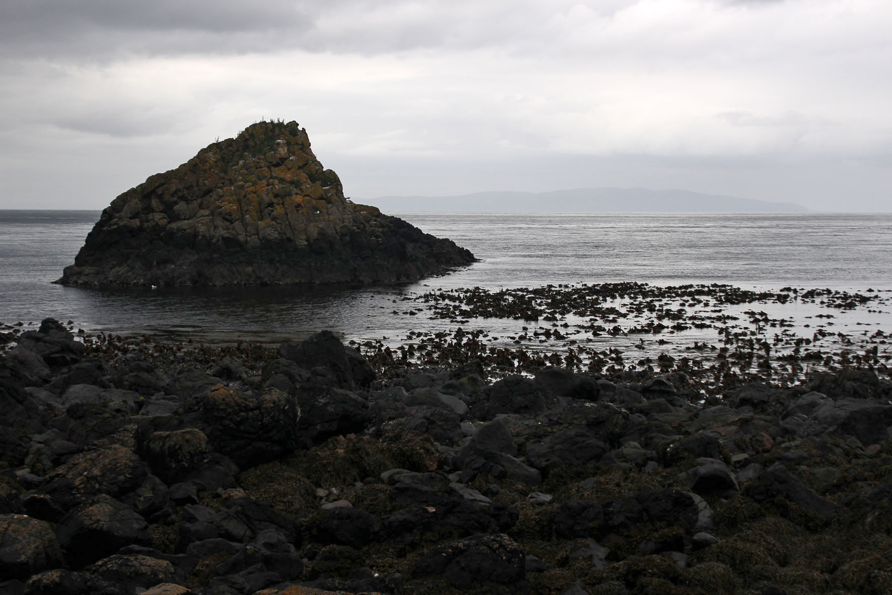
Some days we could make out the ferry, Spirit of Rathlin, plying its way between Ballycastle and the island. On a day that promised to be calmer and sunnier than most we made the journey ourselves. As we drew closer to the harbour at Rathlin an increasing number of seabirds could be seen bobbing about on the water – a taste of what we would soon be seeing on the island itself. These were mostly guillemots but there were also small parties of gannets flying low over the waves, identifiable even at distance with their butter-coloured necks and long ink-dipped wings.
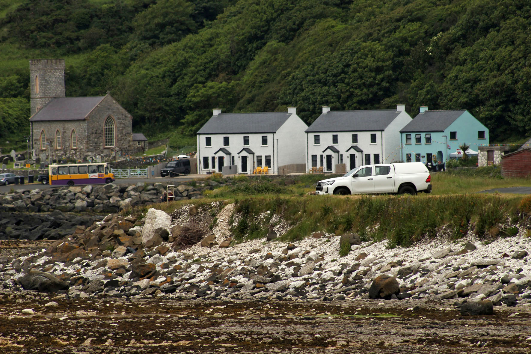
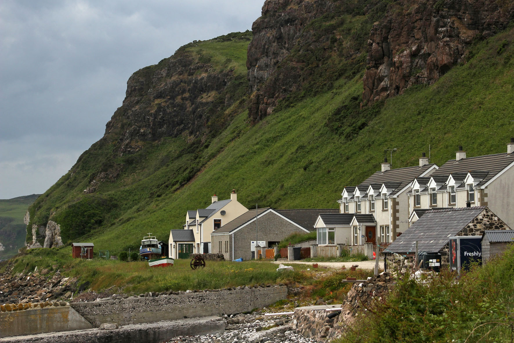
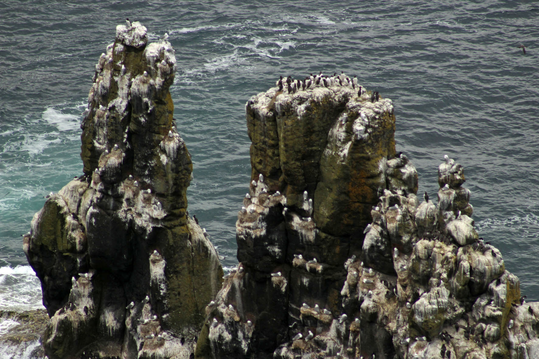
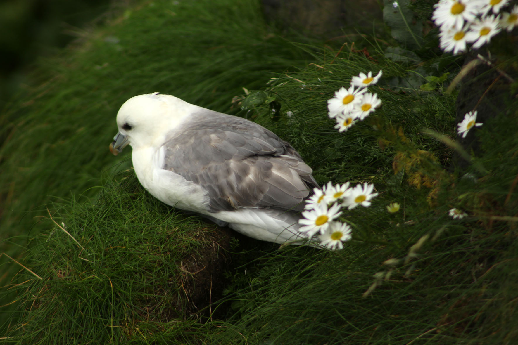
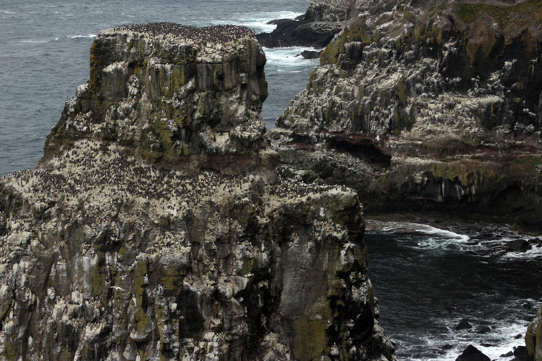
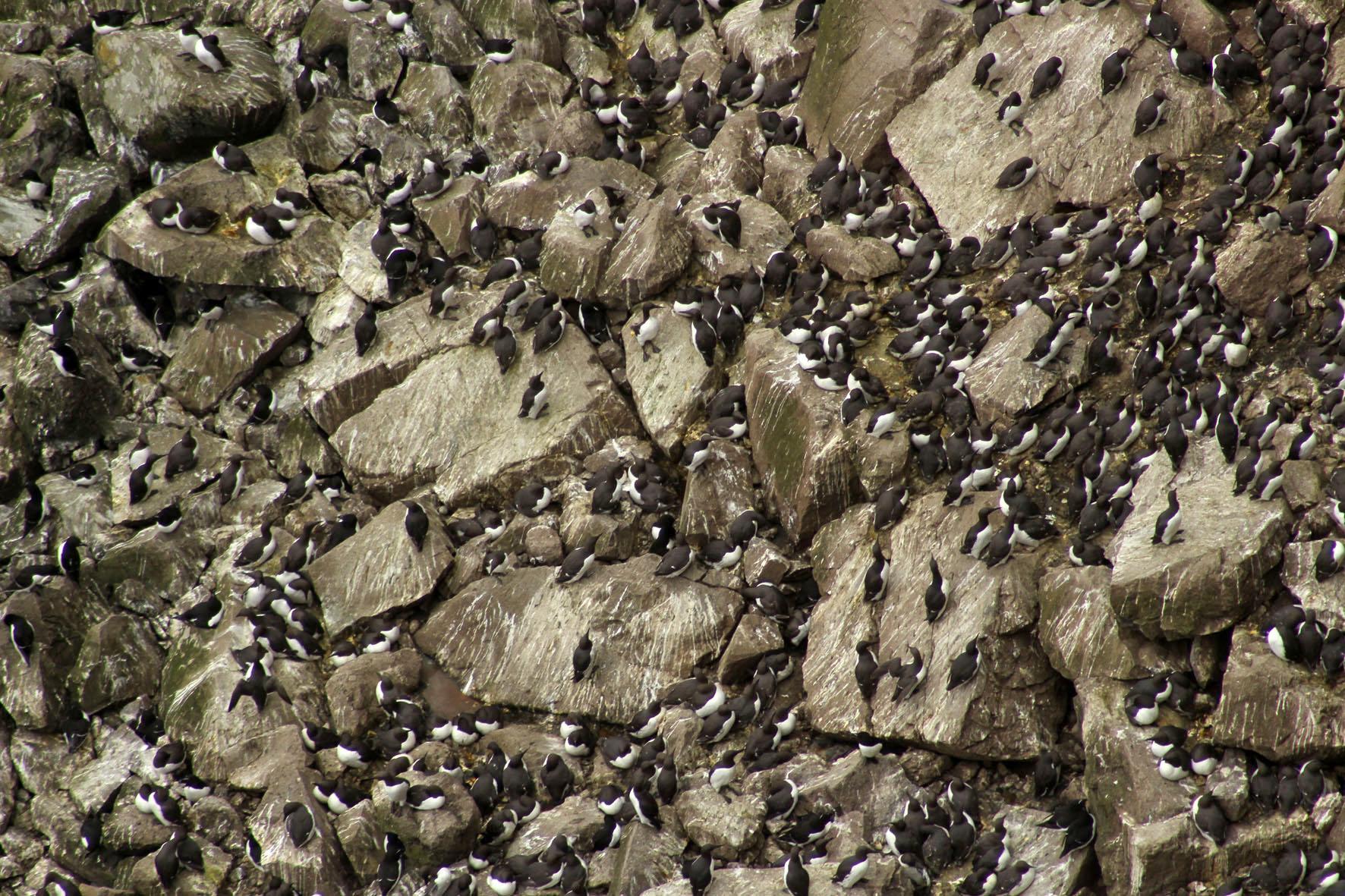
At Rathlin harbour, a bus – the ‘Puffin Express’ – was waiting to drive passengers across the island to the RSPB bird reserve at its western point. Here, steps led down to a viewing platform opposite the cliffs and stacks where the seabirds nested. The malodorous smell of guano grew increasingly strong as we descended – observing seabirds up close is undoubtedly one of the least glamorous aspects of bird watching. From the viewing platform vast numbers of seabirds could be seen at their nests opposite on the rocks – as closely packed as an urban high-rise but with distinctly separate enclaves of guillemot and razorbill, kittiwake and puffin. Closer to the viewing platform, a few fulmars, contemptuous of the excitable human presence and unperturbed by the relentless glint of expensive optics, had made their nests in the grass just beyond the barrier.

Driving back to the village, past fields of sheep and grazing cattle, our driver stopped the bus briefly to point out a cave to our left. It was the entrance, he said, to the stone axe mine that had existed on the island in Neolithic times.
In Belfast, a few days earlier, I had gone to see the so-called Malone Hoard at the Ulster Museum. The hoard was a collection of 19 beautifully polished stone axes that had been discovered on Malone Road close to the museum. The axes were around 6,000 years old and clearly ceremonial objects of some kind: not only were they too large to be of practical use for chopping trees but when they were discovered some of the stones had been found aligned vertically in the ground. Even behind glass, they were undeniably beautiful objects and had a curvy heft about them that seemed to invite handling. Given the understandable restrictions imposed by museums, this, of course, was not possible.
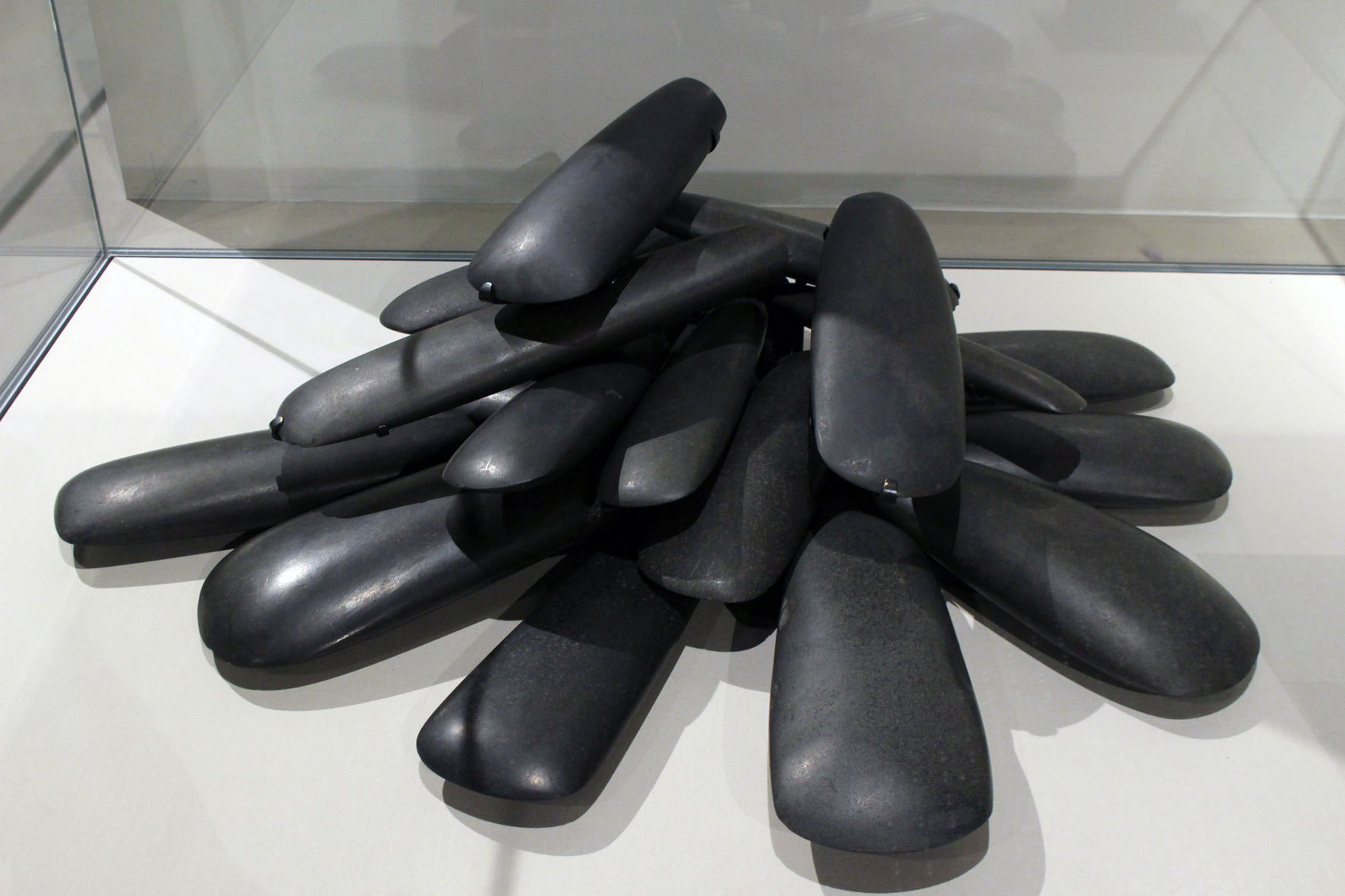
The axes had been identified as being made from a rock called porcellanite, a hard, dense impure variety of chert so-named because of its physical similarity to unglazed porcelain. Unlike flint, porcellanite does not flake easily and has a texture that accepts a fine polish and keen edge. There were only two possible sources of this scarce rock in Northern Ireland. Both were in Antrim. One was at Tievebulliagh, a 402-metre mountain in the Glens of Antrim; the other was on Rathlin Island. Both sources yielded rock of exactly the same physical and chemical makeup so it was impossible to tell which had been used for the Malone Road axes. For reasons of romance rather than anything more scientific, I preferred to think that these precious objects had originated here on the island.
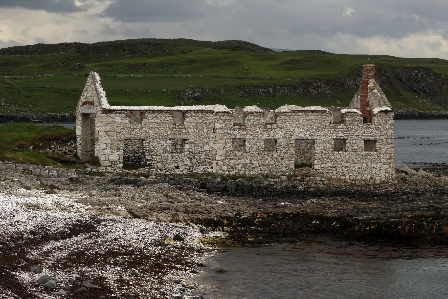
Back off the bus, we sat on the beach at Mill Bay listening to the piping of oystercatchers and watching grey seals as they made forays through the rafts of seaweed that lay just offshore. Seaweed was once a profitable business here. A little further on towards the harbour, an abandoned kelp barn stood roofless next to the shore. It was built of blocks of the same Cretaceous chalk that make up the white cliffs we could see from our rental cottage on the mainland.
After an unproductive listen for corncrakes in a field we had been told about by an RSPB warden we made our way to the jetty to wait for the ferry back to Ballycastle. Notwithstanding the lack of corncrakes, it had been a satisfying few hours. We were by now brim-full with all the wonders that Rathlin Island had to offer: the seabirds – the smell, the noise, the frantic flying about; the wider natural history of the place – the seals, the kelp, the garden flowers that had gone feral and colonised the island’s dry stone walls. Then there was the geology – the Cretaceous chalk and Tertiary basalt of the cliffs, the flints on the beach, the cave with its supply of elusive porcellanite. It would have been nice to have taken a peek inside the cave where the stone axe mine had been but it did not really matter. Prehistory, myth and memory are all intertwined and we make our own emotional truths. Whatever the true archaeological facts of it, in my mind at least the Malone Hoard axes would always be associated with this place on the edge of things.