Through Sarsen Fields – Avebury revisited

I had been keen to revisit Avebury for a while. This Neolithic stone circle, a World Heritage Site set within the rolling chalk country of north Wiltshire, holds a special place in my heart. This time I planned to approach it differently. Rather than just park up at the English Heritage car park and do the usual day trip thing, I wanted to arrive there on foot by way of the ancient ritual landscape that held it. I had originally intended to come three weeks earlier but the threat of prolonged rain made me postpone my visit. This time, as it turned out, I would have to contend with a very different kind of weather: the highest UK May temperatures on record.

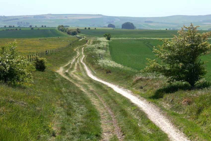
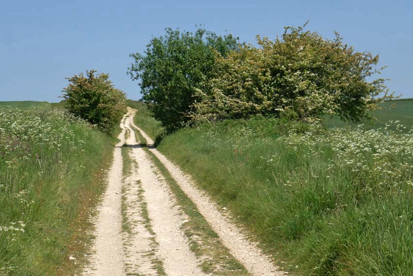
It was no doubt the unseasonably warm, 31°C degree heat that explained why the Ridgeway was almost completely deserted as I set off south along the Ridgeway towards Avebury from Barbury Castle just south of Swindon. Barbury is not actually castle at all but an Iron Age hill fort. From a drone’s-eye view it looks impressive with its double ditch and banks but on the ground there is not much to be seen other than a circle of chalky earthworks. The car park is close to the site, and a couple of families had come to fly kites on top of the raised bank, but as soon as I walked through it to continue along the Ridgeway I found myself more or less entirely alone. From this point on, I only saw a handful of walkers and cyclists all the way to Avebury – perhaps all the more surprising for a sunny Bank Holiday Monday.
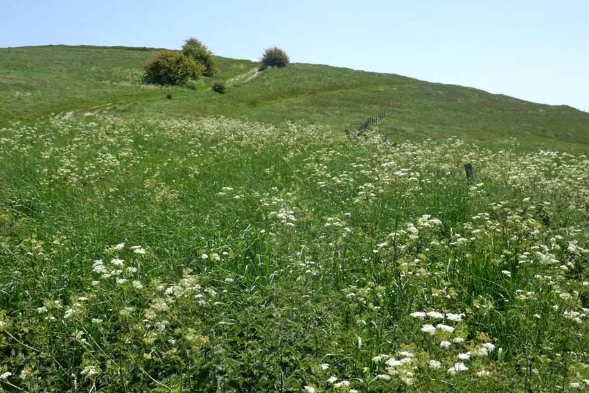
Following the Ridgeway, I made my way downhill before climbing again to the summit of Hackpen Hill, where I was relieved to find marginally cooler, patches of shade beneath the trees that crowned the top. The path levels out here, giving expansive views over Marlborough Down to the east. Here on the open down, skylarks were abundant, their clattering song cascading down from the cloudless blue. Whitethroats, blackcaps and chiffchaffs could be heard warbling unseen, wherever there were patches of hedgerow. The occasional red kite also put in an appearance. One swooped so low that I only became aware of its presence when I saw its bulky, fork-tailed shadow crossing the path in front of me. I looked up to see the bird close overhead, tail twisting to finesse its position as it checked me out, perhaps assessing if my overheated shuffling form was potential carrion in the making.
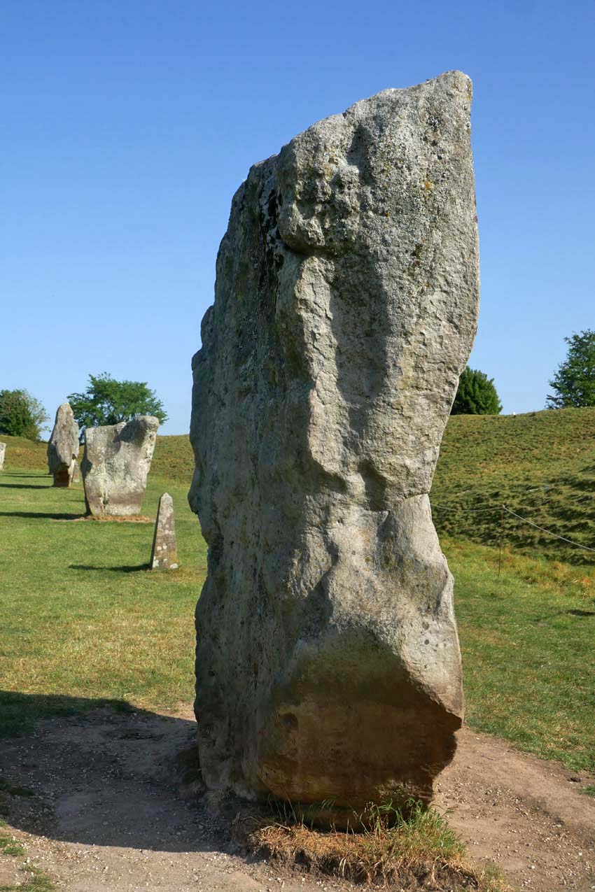
A scattering of recumbent sarsens by the wayside gave the clue that I had reached Fyfield Down. Sarsen is the name given to a locally abundant silicified form of sandstone that was formed by weathering tens of millions years ago. Fyfield Down has the largest collection of sarsens in England and it was these same stones that were used for construction of the megalithic monuments at Avebury, Stonehenge and other Neolithic sites. While here is some doubt about the name’s origin it most likely derives from a diminution of ‘Saracen stone’. Harking back to the time of the Crusades, Saracen was once a generalised term used for Muslims, which by extension came to mean almost anything that was non-Christian or pagan in character. Given their close association with ‘pagan’ monuments like Avebury and other megalithic sites it is easy enough to see how the name stuck.
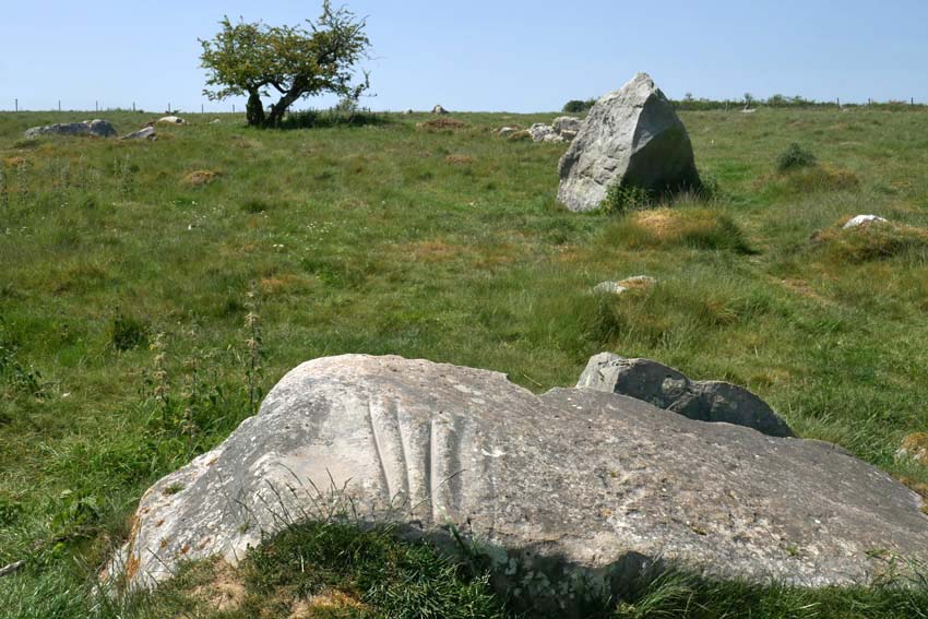
I wanted to see the so-called Polisher (or ‘polissoir’), which was marked on my map as lying a few hundred metres to the left of the Ridgeway. I found the stone easily enough by means of the tracking app on my phone and it occurred to me that here was an odd juxtaposition of technologies: using 21st century satellite technology to detect the position of something that was associated with one of the earliest tool-making techniques – the shaping of flint into blades and axes. Flint: a versatile material whose use for blade and fire-making saw early humans through two million years of slow-burn development, from the earliest hunter-gathering Palaeolithic hominids to the homo sapiens farmers and herders of the Neolithic. The Polisher was a touchstone, quite literally. With four deep parallel grooves, like the gills of a shark, this singular stone was the product of incessant sharpening and polishing of numerous hand axes in the Neolithic period. To run your fingers along these ancient grooves is to make a tangible connection with the deep past. A repository of time and undocumented prehistory, how many other fingers had done the same before? How many polished axes had been patiently and laboriously shaped here, and how many generations had passed by in the interim?

The arrival of the farming in the Neolithic came with very different requirements to the simpler hunter-gathering which had preceded it in the Mesolithic period. Forests had to be cleared to make room for crops and livestock; trees need to be felled in bulk. New technology was required: flint axes that could be attached to a shaft. As a result, Neolithic axes took on a more elongated shape, and a polishing resulted in more durable cutting edges for the work involved. What had these people thought as they worked the stone? And what was significant, if anything, about this particular spot? The archaeological evidence suggests that the Polisher had originally stood upright.
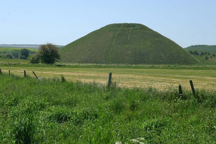
It is hard to imagine the task of stone polishing without some sort of ritual being involved – this whole landscape breathes ritual and ceremony – but perhaps that is to extrapolate too much from the little we can actually be sure of. We can probably never really know. What is certain is that during the Neolithic not all physical tasks were performed for purely practical outcomes – the Sisyphean feats of the dragging of sarsens overland to Avebury and the baffling, generation-spanning construction of nearby Silbury Hill are both testament to this. In the light of this it should also be mentioned that some especially refined polished axes, particularly those of rare exotic stone like greenstone or jadeite sourced from well beyond the local region, appear to have been made solely for ritual purposes or as value-rich objects for exchange denoting power and status.
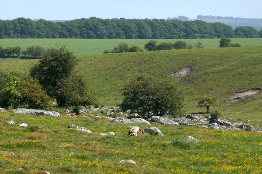
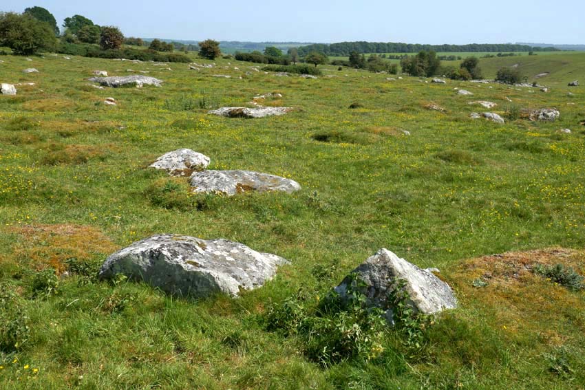
A little further on, I make another detour from the Ridgeway to venture deeper into Fyfield Down, where an extensive scattering of sarsens cover the ground. The greatest concentration of such stones in England, here they lie sprawled across the chalk grassland like tumbled dominoes. A few of them look like the sheep that they take their local name from (‘Grey Wethers’, meaning grey sheep, which they are supposed to resemble when seen from a distance).

Seeking a place to sit for a while, I squat in the thin ribbon of shade that runs alongside a fenced patch of woodland. The ground is bare of grass, churned and trodden down, and covered in dried cow shit, an indication that cattle, thankfully now absent, had recently sought much the same sort of relief from the heat. Thousands of years ago, this sarsen field must have been a hive of activity as monument-building folk selected and prepared stones for transportation to Avebury. Today it is eerily silent: not an utterance other than crow-caw and sporadic insect buzz. Even the usually omnipresent sound of distant motor traffic is spookily absent. This is Bank Holiday Monday in southern England, I remind myself one more time. Disparate thoughts coalesce awkwardly, of post-apocalyptical landscapes and prelapsarian times – it is just the heat playing tricks, of course.
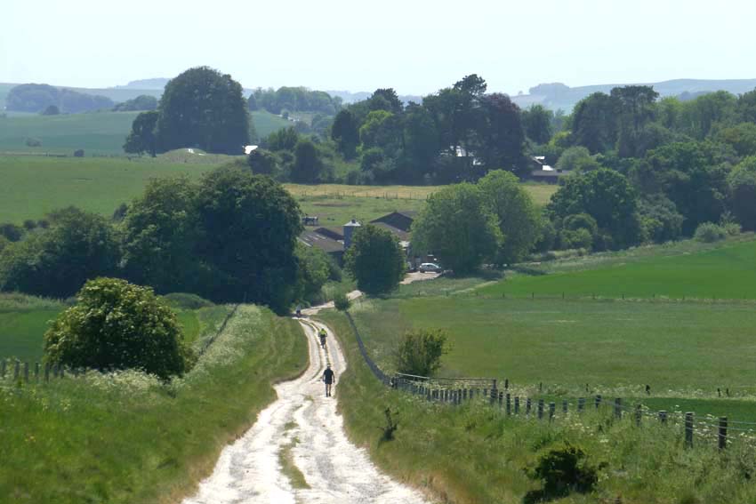
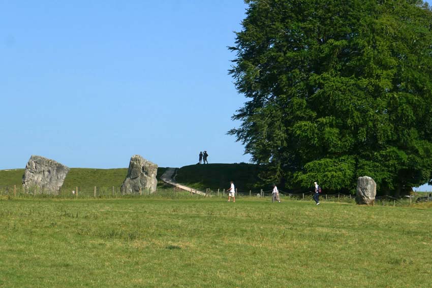
Returning to the Ridgeway I cross the path to descend into Avebury. The village can be seen ahead now, huddled in the valley bottom shrouded by trees. From this viewpoint, there is no sign of the megalithic circle that surrounds it. This does not become evident until two miles further on at the edge of the village when, after passing a few farm buildings and dusty cattle yards, I see a raised bank ahead. The first of the stones lies beyond this, over the fence – one of the many (originally 98) that constitute the outer circle. Ahead is the Red Lion, the village pub, which like most of the village cottages and the church, is unique in lying inside a Neolithic circle of megaliths. But compared to the 4,600-year-long presence of the henge, Avebury, the village, is little more than an afterthought, even if some of its construction owes a debt to the stones as conveniently-placed raw material.
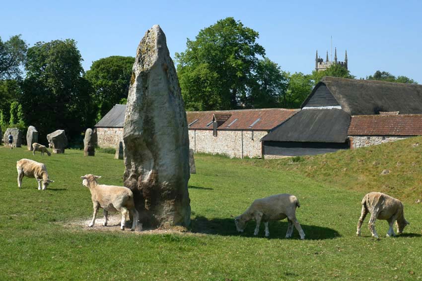
I join the stone circle from the gate by the pub and trace the megaliths as far as the English Heritage barn where there is a café. Tea, ice cream and a seat in the shade brings some welcome respite. I have about an hour until my bus to Swindon leaves and so I go off in search of Avebury’s somewhat elusive rivers. There are two, although ‘river’ is perhaps too grand a title for what are effectively narrow streams. It has been noted that several of Britain’s henge monuments are located close to the confluence of rivers*. Avebury is a case in point, as both village and henge lie just a little way east of the confluence of the River Oslip and the River Winterbourne. Here, they combine to become the River Kennet, which flows south past Silbury Hill before veering east in the direction of Marlborough. Both rivers are considered to be ‘winterbournes’, which tend to be seasonal and usually dry up in summer. One actually bears the name.

*Exploring Avebury: The Essential Guide Steve Marshall 2016
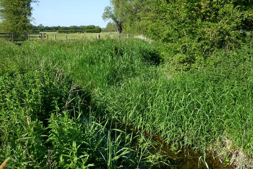
A footpath leads from the church to cross a wet meadow to the spot where the two streams combine. The Oslip has something of a flow to it, while the Winterbourne is little more than a boggy ditch. Both join at a ‘V’ thick with sedge and reed, from which emerges the incessant scratchy song of a reed warbler. In the distance I can hear a cuckoo. (I hope that the two never get to meet, but nature is what it is and who am I to judge its sometimes heartless ways?)  The confluence is discernible but unimpressive. I conclude, though, that this same scene might look quite different in winter, especially after heavy rain or snow-melt when the meadows would flood.

My bus beckons. Tomorrow, I will return to pay my respects to the stones properly – they can wait another day; after all, I have been here enough times before. The henge – the village, the stones, the ditch and bank – already have a well-established place in my memory bank. Like old friends, it is always good to see them again.
Of Whales and Ancestors: Ostend, Norfolk

The very mention of the village of Happisburgh in Norfolk brings to mind all manner of prehistoric associations and connections with long-extinct ancestors. The early years of this current century have revealed exciting local evidence of the presence of earliest hominins in northwest Europe: Homo antecessor (‘Pioneer Man’) – near million-year-old clues in the form of flint tools and muddy footprints. Early humans walked these shores in the early Pleistocene, except it wasn’t so much a shore then as a river estuary: the Thames in an earlier incarnation when it flowed further north than its current course. Political boundaries were yet to exist, 800,000 years ago; the land mass that was Britain was still connected to Eurasia.

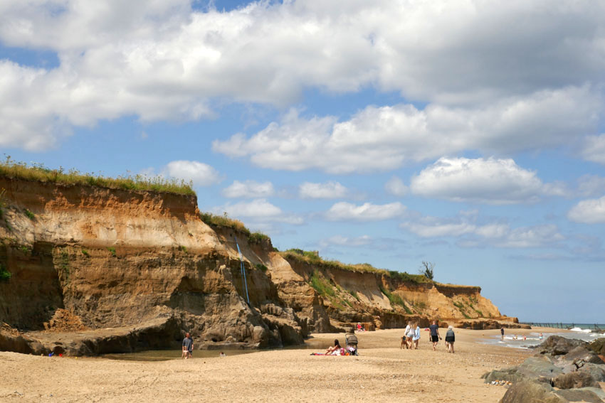
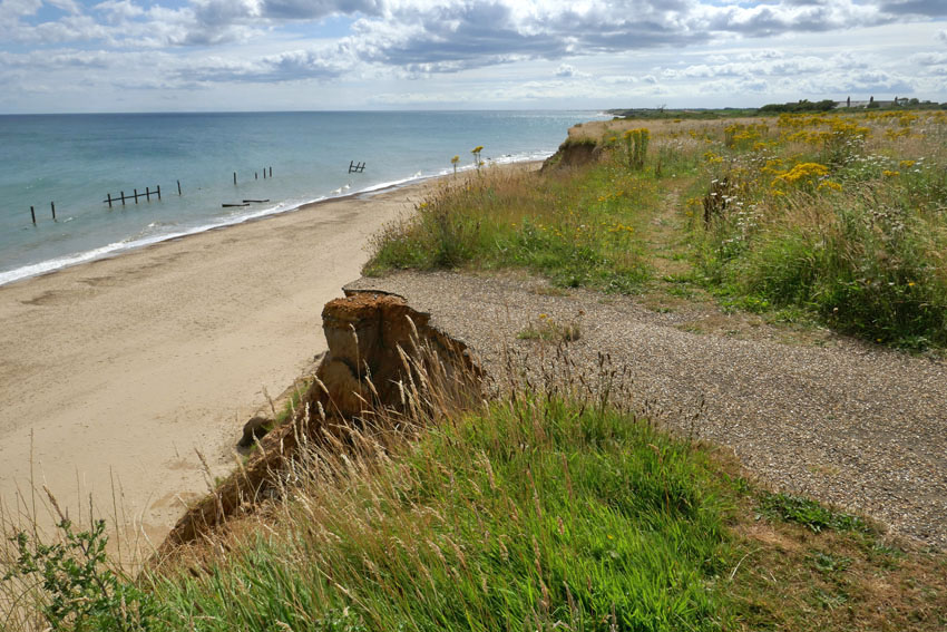
Prehistory aside, Happisburgh (pronounced ‘Haze-bruh’ to those who know) is also well known for other reasons. Its fame precedes it, although notoriety might be a better term. Nowhere on this coastline is the menace of coastal erosion witnessed more emphatically, although the near-vanished village of Dunwich on the Suffolk coast, once a thriving medieval port, might come close. For Dunwich the damage wreaked by the ever-invading North Sea is the past; in Happisburgh it is the present and future. Continually losing territory to the North Sea, there is visible evidence of the dynamic shifting shoreline to be seen everywhere here. Cliffs can be witnessed crumbling on a regular basis. Houses that were once located comfortably inland now perch perilously close to cliff edges; some have already succumbed and their remains litter the beach. Roads and tracks can be seen dramatically truncated along the cliff edge – streets that have become roads to nowhere, roads that lead to oblivion.

Even the village’s longstanding icons – the 15th-century St Mary’s church with its commandingly tall tower, the second highest in the county, and the equally imposing red-banded Trinity lighthouse built in 1790, Norfolk’s oldest – are both numbered in their days and probably won’t see this century out. The writing has been on the wall for a long time now – this northwest stretch of the Norfolk littoral is, after all, a fast-eroding coastline where such things can only be expected. Even so, the terrifying spectre of irreversible climate change does nothing but hasten the inevitable. Bold efforts have been made to ameliorate the threat: large chunks of alien geology have been transported here to be deposited on the beach – stone barriers to hold back the tide – yet somehow it feels like the wrong sort of folk tale: a village boy taking up a slingshot against a giant ogre, a near-futile King Cnut-like gesture.

So, there is plenty to say about Happisburgh but what of Ostend, its immediate neighbour to the north? Walking the coast here recently in preparation for a new book on short walks in Norfolk, I tried to find out more about the small settlement that shares its name with the better known Belgian resort. Information was elusive, other than it belonged to the parish of Walcott and was effectively an area of holiday properties appended to the south of that village. The name intrigued me, though, and I wondered whether there was a historical connection as there are several Waterloo farms scattered around Norfolk that commemorate the final victory over Napoleon close to the Belgian town of that name. Until 2001, when it was finally demolished, there used to be an early 17th century house in the village was called Ostend House. There may possibly be a connection here but was it always called Ostend House, or did the name come with the rebuild that took place in the 19th century?

Looking further for information, Wikipedia informed me that in June 2002 a rare Cuvier’s beaked whale was stranded on the beach here. This was the same species of whale that Kathleen Jamie describes being on display in Bergen’s Whale Museum. The Bergen whale was found choked by plastic bags that the unfortunate animal had probably mistakenly recognised as squid, its prime food source. As I had only just (twice) read Jamie’s latest book Cairn,which describes her return visit to the Norwegian museum, there was an immediate connection for me here, although it was nothing to do with the name of the place.

The whale was named by the French scientist Georges Cuvier (1769—1832)*, a polymath who was the first to coin the term ‘extinction’. In 1796 Cuvier presented a paper to the National Institute of Science and Arts in Paris, where he compared the anatomy of living and fossil elephants to prove that extinction was a fact and proposed that the now-extinct elephants had been wiped out by periodic catastrophic flooding events. Although a proponent of catastrophism in geology, Cuvier rejected the idea of organic evolution. As an essentialist he believed that plants and animals were created for particular roles and niches in the world environment and subsequently remained unchanged throughout their existence. In Cuvier’s thinking, as soon as one species became extinct as the result of geological upheaval, another would be divinely created to replace it. It would be Charles Darwin, of course, who would set the record straight some 65 years later with the publication of his On the Origin of Species. What Darwin would have made of the 21st-century discovery of evidence of a long-extinct ancestor, Homo antecessor, on a sea-battered English shoreline we can only imagine. Evolution to extinction: such a surprisingly short distance of time and space linking the two.

*[Alas, Cuvier’s name has also been linked with scientific racism, although we might excuse him for being, as the cliché goes, ‘a man of his time’. Of course, modern-day racists should not be forgiven in the same way – they are not men (or women) of their time. We might, I suppose, call them dinosaurs but to do that would be a disservice to palaeontology.]

Little Ouse, little bird

For a number of reasons it had been weeks since I had ventured out of the city for a walk. Cities are fine but brick, concrete and tarmac can get monotonous: too much noise, too much body swerving of fellow humans and traffic. I wanted water and trees, a church or two maybe; breeze and birdsong, a chance to breathe. So I took the train to Brandon in the Brecks.

Leaving the station I walk south along the main road towards the town centre and then, after crossing the Little Ouse River and the county boundary into Suffolk, turn left down a minor road called White Hart Lane. Here, almost immediately, is an edgeland of newly built bungalows on one side of the street and fenced paddocks on the other, although the separation between urban and rural is fluid in places like this.. Beyond the paddocks is a line of trees that hides the river. Brandon lies in the midst of a large forested expanse – the vast conifer plantations of Thetford Forest – and a sort of unthreatening wolf border rings the town. The forest is relatively new, though: just over a hundred years old – considerably less than the life span of many trees. Before the intervention of the Forestry Commission in the 1920s and 30s, this expanse of southwest Norfolk and northwest Suffolk was a relatively infertile, sand-blown region where the main industries were flint mining and raising rabbits for the fur trade. Indeed it was overgrazing by large rabbit warrens that was partly responsible for the poverty of its soil in this dry region known as the Brecks.

White Hart Lane gives way to Gas House Drove, a narrow lane that traces the back walls of gardens. More paddocks stretch away towards the river to the left; ponies graze unworriedly. There are notices attached to field gates that request visitors not to feed the horses; other signs inform would-be horse thieves that the animals are electronically tagged and fully traceable – the equine equivalent of ‘no cash left in this vehicle overnight’. Further on, beaten up caravans and abandoned rusting cars enhance the edgeland feel – a seldom observed zone where the accepted rules of orderliness do not apply.

The track narrows further as it threads through tall pines. Crossing a wide woodland ride I come across man on a mobility scooter walking his dog. ‘Is it straight on to Santon Downham?’ I ask. ‘It is if you want to take the scenic route,’ comes the cheerful reply. So I take the ‘scenic route’ and soon arrive at a cluster of houses around a large green – the village of Santon Downham – where a telephone box has been repurposed as a booth for a defibrillator. The box also serves as a library. I scan the books, Len Deighton’s mostly, but there is also a DVD of Sexy Beast, a personal favourite that stars Ben Kingsley as a sociopath gangster in a role that is a far cry from the actor’s portrayal of Gandhi earlier in his career.

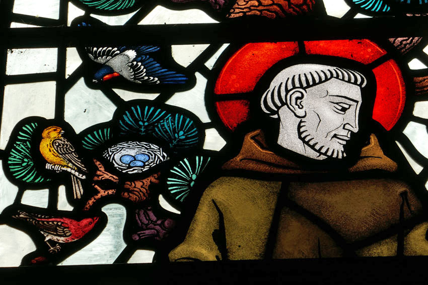
The Church of St Mary’s, the self-titled ‘Church in the Forest’, is on the far side of the green. I venture inside to find the bright unfussy interior illuminated by dappled forest light filtered through stained glass. One window featuring St Francis is particularly charming as it depicts the saint surrounded by the sort of birds that are local to the Brecks – crossbill, golden pheasant, kingfisher, heron and barn owl. While it is endearing, it doesn’t flinch from realism – the owl is shown holding a freshly killed mouse in its beak.

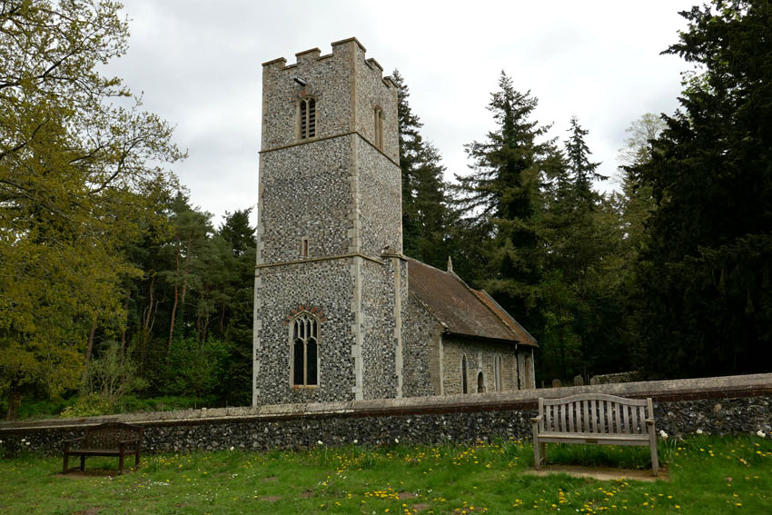
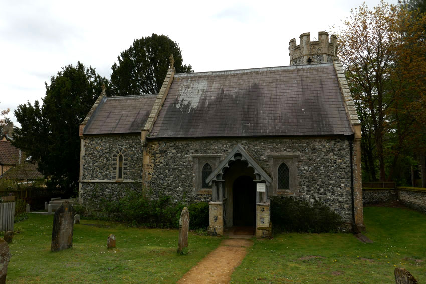
The river is not far away and I end up at the footbridge by the St Helens Picnic Site on the Norfolk bank. A group of youths with rucksacks are lounging by the water and I identity them as Duke of Edinburgh award initiates although I could be wrong. A few minutes later they march off together in an easterly direction, some individuals clearly more enthusiastic than those who straggle at the rear. A little further along the road is Santon House where the tiny Church of All Saints stands complete with tiny turreted tower. I take a quick look inside before sitting on a bench outside to eat the sandwich I had brought with me. A chaffinch sings perched on the very top of a pine tree, cock of the walk, although the jackdaws shuffling proprietorially around the picnic site probably think differently.

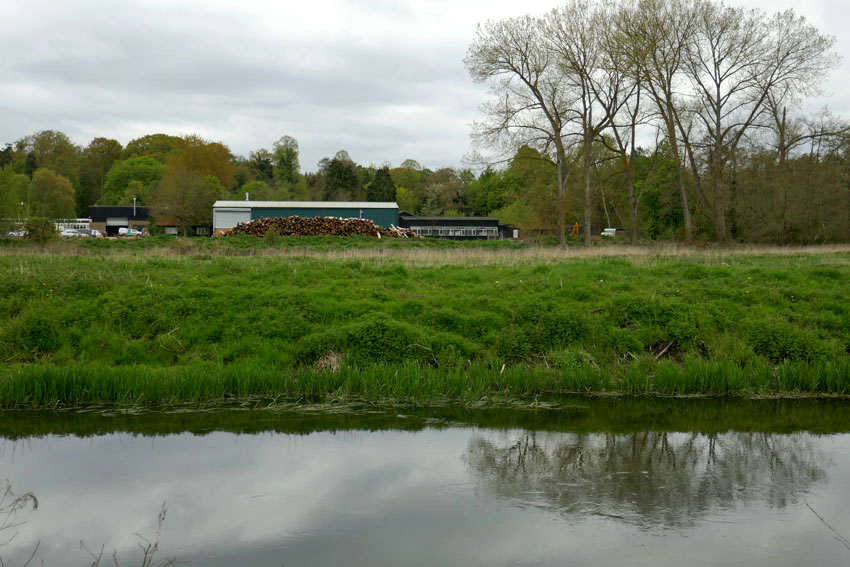
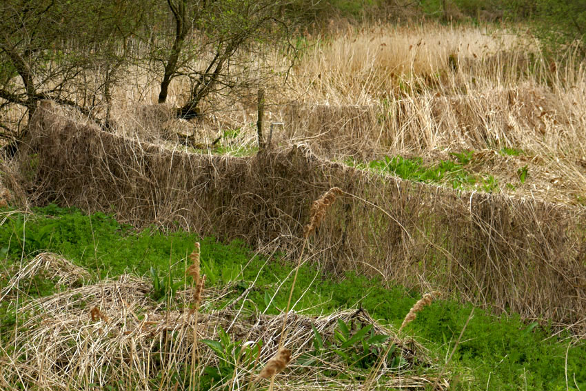
Back at the St Helen’s footbridge, instead of crossing back to the Suffolk side I follow the path that leads west along the river’s north bank. A few hairy Highland cattle are slumped in the long grass of the meadow between the road and river. Mature willows line the riverbank; it looks like perfect otter territory but these are elusive creatures and I see no sign of them. Reaching the bridge at Santon Downham I decide to continue along same river bank all the way back to Brandon. Although the path is well-defined and firm underfoot, the surrounding landscape is pleasingly unkempt, with plenty of rotting timber and tangled dead grass that has weaved itself into a carpet over posts and fences. Nature, I am told, thrives on untidiness such as this.

I meet a group of birders coming the other way: green-clad middle-aged men with sensible outdoor clothing and expensive German optics; one of them carries a heavy tripod with mounted SLR. They tell me they are on the lookout for lesser spotted woodpeckers. This stretch of riverbank woodland is supposedly one of the most likely places to see these elusive birds in East Anglia. They have had no luck as yet but they accept their failure gracefully. We compare notes. I have seen the mandarin duck and grey wagtail they mention, and had heard greater spotted woodpeckers drumming away unseen on my way to Stanton Downham on the Suffolk side, but lesser spotted…no.

Lesser spotted woodpecker: it sounds like a made-up name, the sort of thing a non-birder might come up with to make fun of those with an interest in birds. While to some ears it might sound prissy and pedantic, to the average birder it is merely a precise non-Latin description of appearance and habit.

Thoughts of the bird transport me far away in space and in time. I tell the birders that I have not seen a ‘lesser spot’ for decades but this is not strictly true. A memory comes back of a trip to Japan in 2015 where, walking a trail through cedar forest south of Osaka, a lesser spotted woodpecker flew down to a low branch close to where I had sat down for a rest. It was a fleeting view but an unexpected one in a country where birds, other than ubiquitous large-billed crows, seemed quite elusive. Much of Japan is anything but unkempt and nature is contained and controlled – topiary is unbounded, trees are pruned within an inch of their lives, rivers are canalised. Then I thought back to a time decades earlier in south Norfolk where a lesser spotted woodpecker had nested in a branch above a footpath close to my rented cottage, a place that I called home for three years. A small, undemonstrative black and white bird:  like so much else they had become rare and were now one of our fastest declining species. Who would have thought a shy, sparrow-sized bird could evoke such a sense of loss and trigger that sense of emotional distress associated with environmental change known as solastalgia*? At least, here in the untidy, bird-rich woodland that flanks the Little Ouse River, there was still hope. After all, nature thrives on untidiness.

*Solastalgia – a neologism coined by philosopher Glenn Albrecht in 2005, which he describes as ‘the homesickness you have when you are still at home’ and is usually related to environmental change in a home environment.

A midwinter walk – Horsenden Hill to Harrow-on-the-Hill

In the past I have chosen a rural walk to celebrate the turning of the year; this year though, I have opted for something more urban. Together with my friend, Nigel Roberts, I continued along the route we had both been following for some time: London’s Capital Ring. For this midwinter walk it would be the moderately hilly stretch that lies between Greenford and South Kenton in London’s northwest outer suburbs.

We convene at the small coffee bar at Greenford Underground station. The low winter sun is unseasonably bright in our faces, intense enough to require squinting. Light counts for everything at this time of year. Setting off under the railway arches we walk past the appropriately named Rising Sun pub and the entrance to a massive retail park. Soon, we reach the path that will take us up Horsenden Hill. The hill is one of the highest points in north London, and even halfway up the slope the view opens up to the west in the direction of Heathrow, an aerial procession of slowly descending aircraft confirming the hill’s location on the approach flight path.

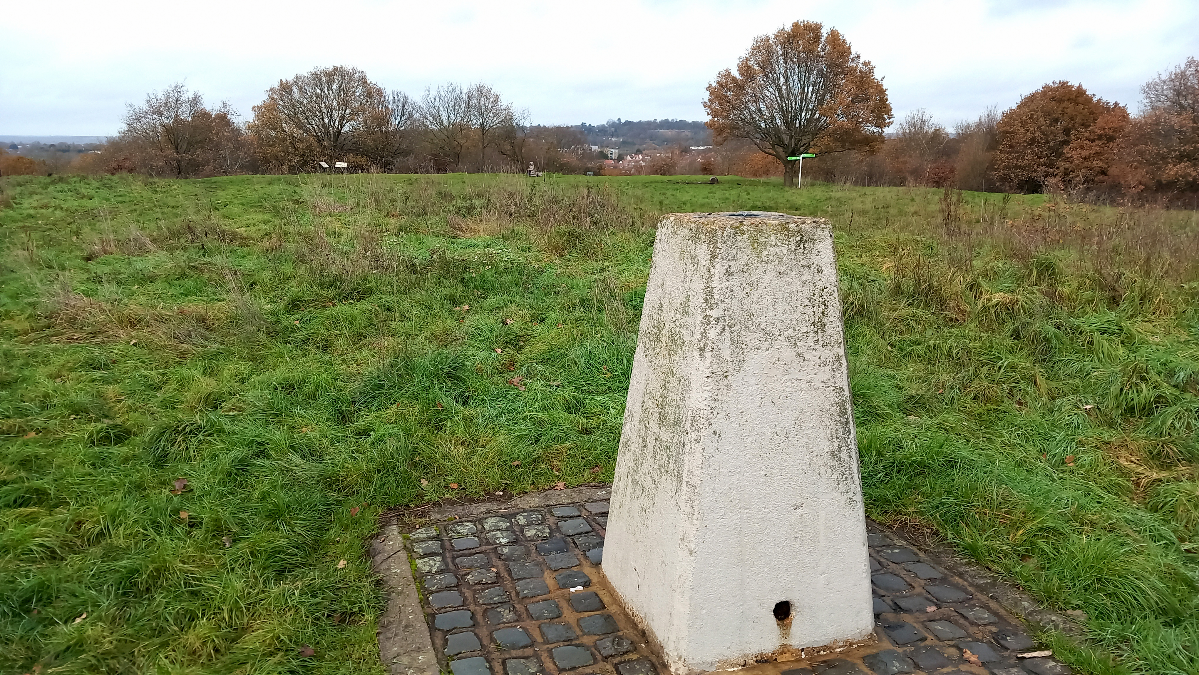
The hill was once an Iron Age settlement, and before this it was sometimes frequented by Neolithic flint knappers. The summit is furnished with a concrete trig point and a few benches – most have the seat part absent, rotted away or stolen for firewood. Up here, it is countryside quiet with no hint of city clamour although we do come across a few fellow wanderers: the men we see are mostly seated alone on benches with a can of lager in hand; the women, in contrast, tend to be walking purposefully, avoiding eye contact as they stride ahead. Who can blame them? Lone figures in the landscape engender a sense of melancholia and it is easy to assume that these are people with the weight of the world on their shoulders. But I know that when I am out walking on my own a casual observer may well think the same about me. The truth is: I enjoy walking alone sometimes; it is a pleasure, however it might appear.

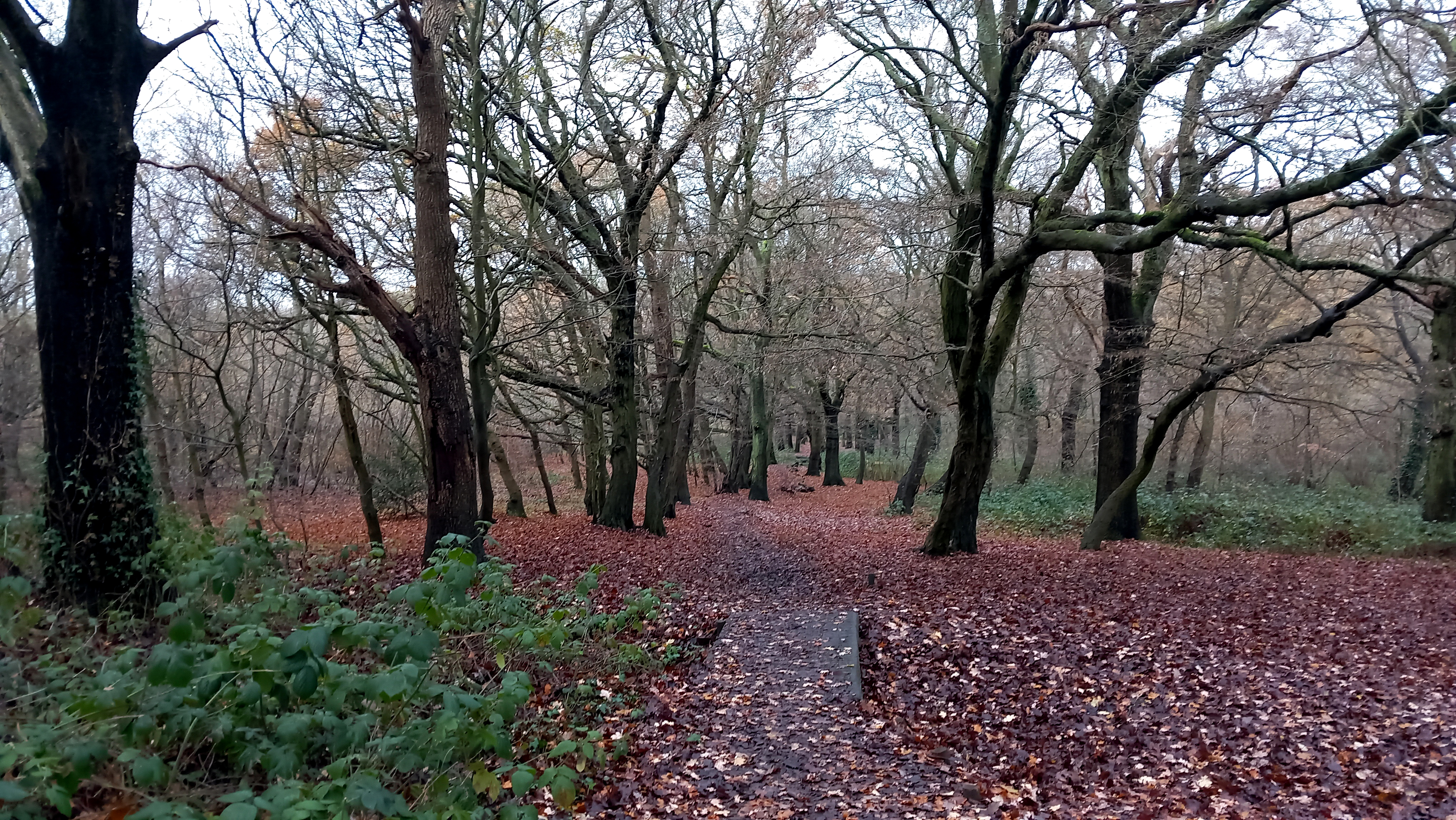
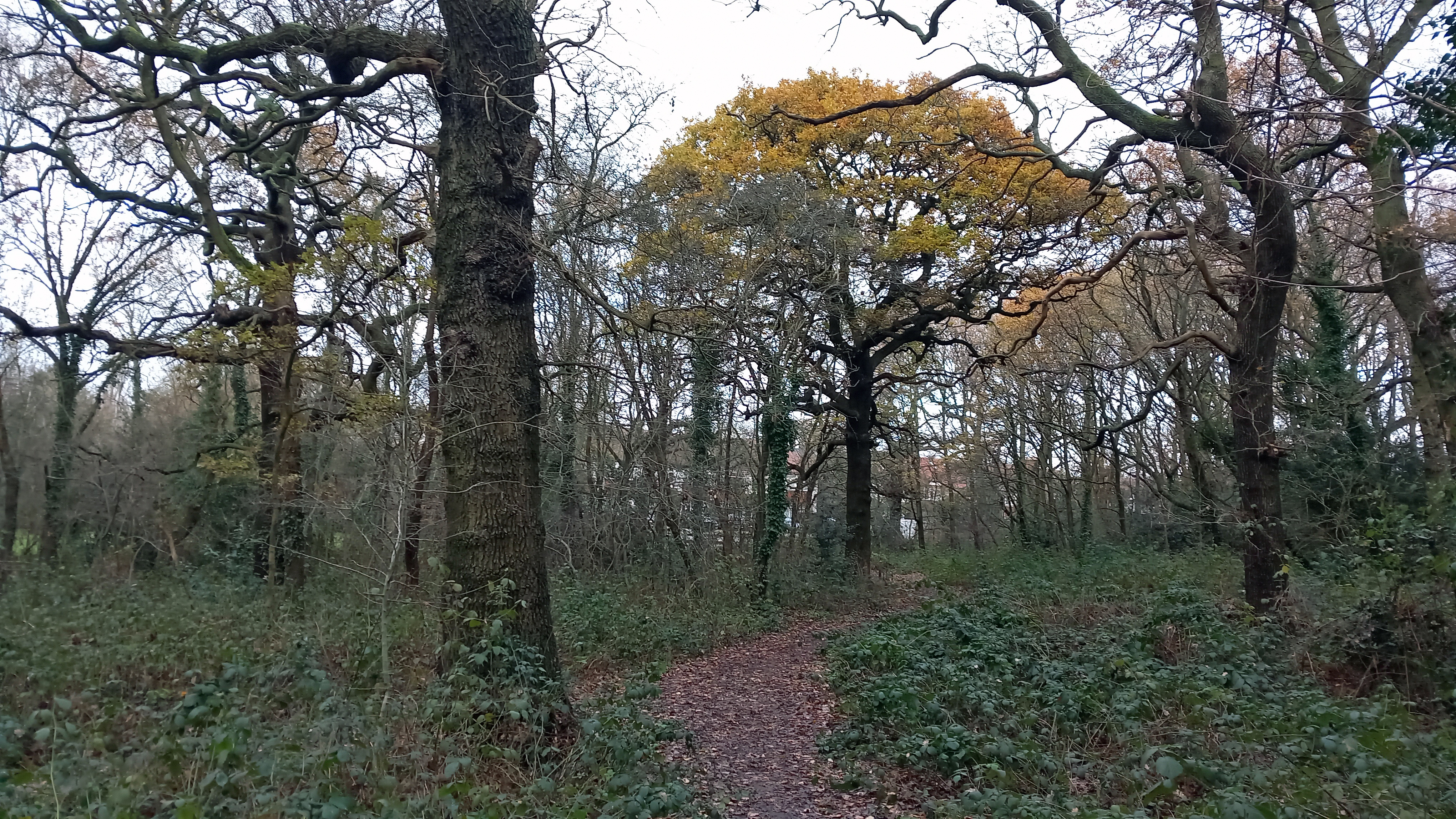
The path leads us downhill through woods of oak and beech. Parakeets screech in the branches overhead. The birds are ubiquitous now and certainly, within the orbit of London’s suburbs, they are rarely out of sight or earshot. I had seen my first of the day hours earlier whilst entraining to London that morning, a sleek green figure that swooped over the carriage as we passed over the M25 on our way to Liverpool Street. Parakeets, corvids – magpies, crows, jackdaws – woodpigeons: these are the birds that have taken over the green spaces of the capital. Small birds have been chased away to find sanctuary in suburban gardens. It comes as a relief to hear the passive-aggressive song of a robin holding firmly to its territory.

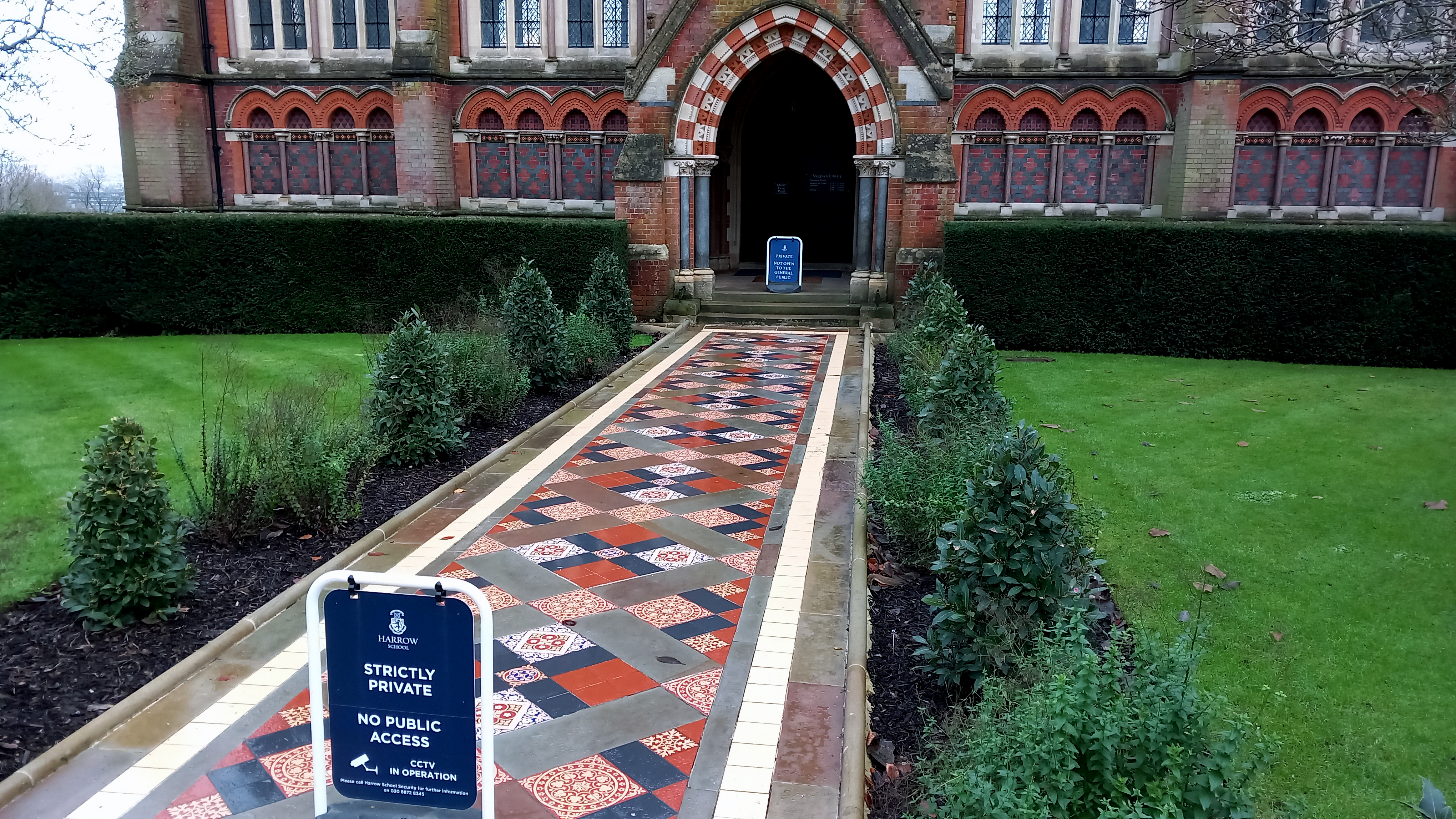
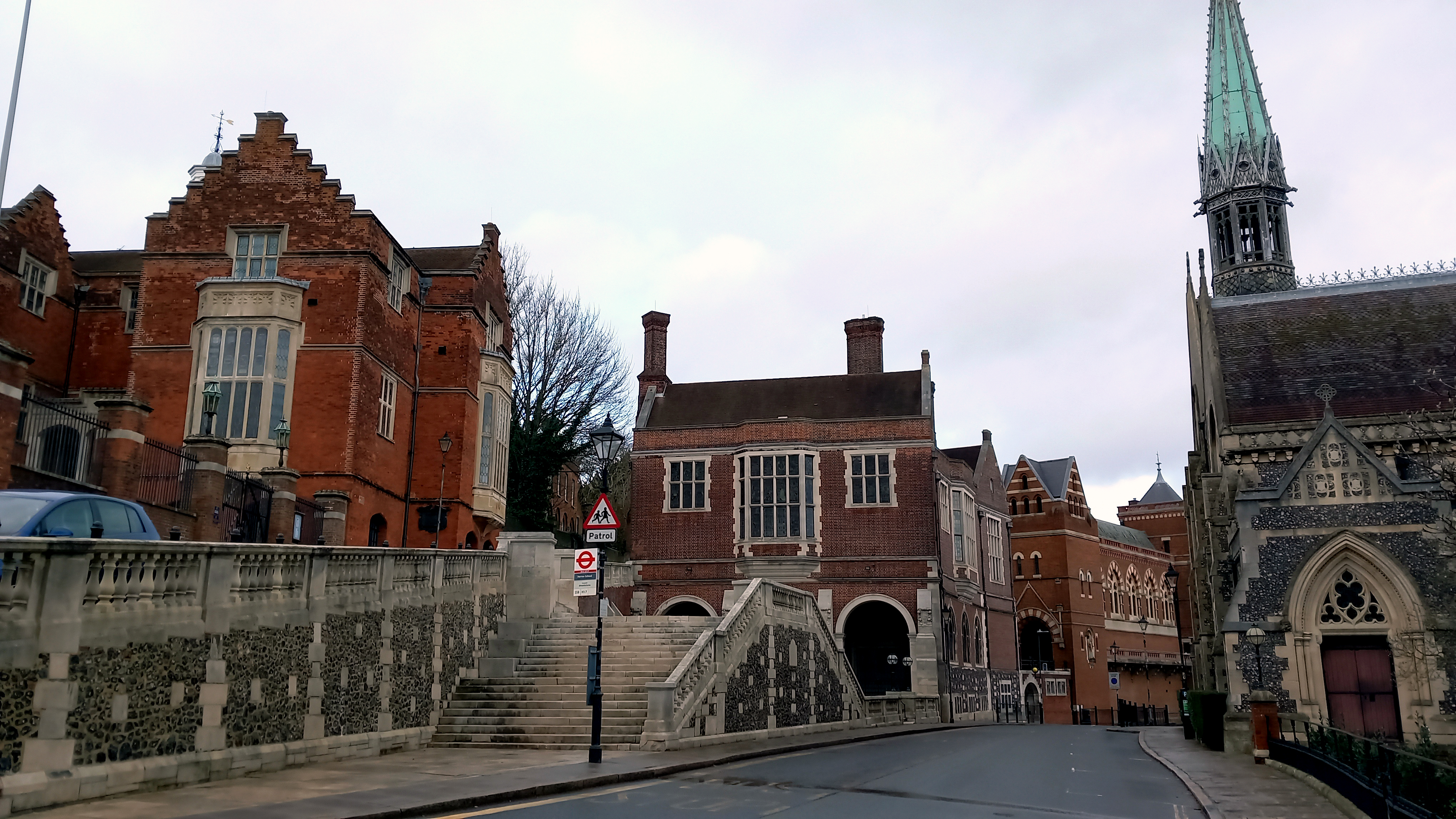
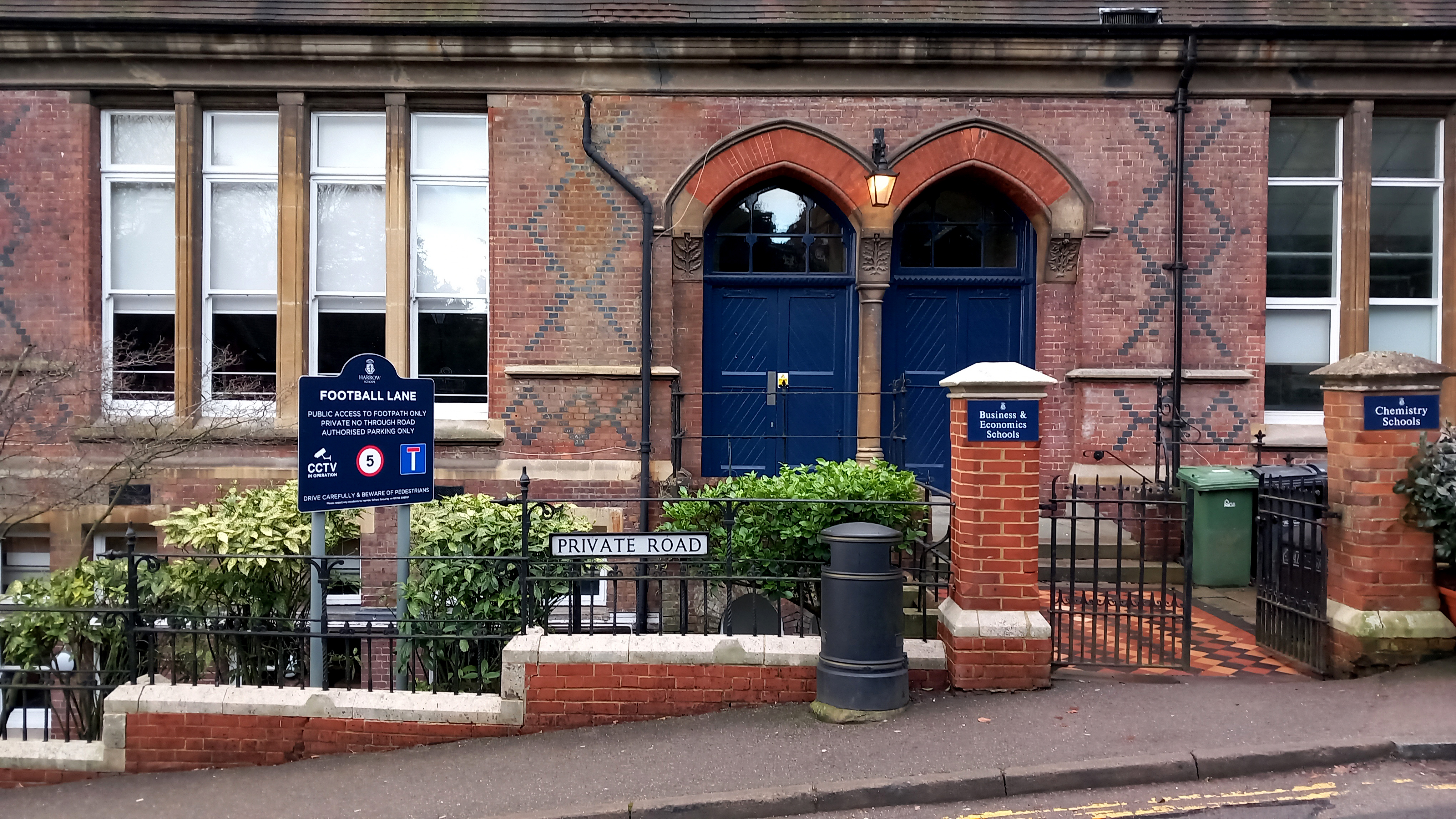
The route descends Horsenden Hill to Sudbury Hill before climbing again to Harrow-on-the-Hill. Harrow is as conspicuously wealthy as we imagined – huge house and gardens, security gates, high fences, a smattering of Arts and Crafts among the stylish mansions. Harrow – of Saxon derivation meaning ‘sacred grove’ – seems like a displaced Chilterns village: far enough from central London to give an impression of rurality; close enough to make commutes into the City feasible. It’s handy for the eponymous school too, of course. The various school buildings dominate the upper part of the village: crow step gables, decorative brickwork, signs announcing private property and CCTV. There’s a restaurant called Old Etonian that looks closed (even Harrow has to settle for being second best sometimes) and a specialist outfitters’ that displays various uniform items in its windows. The gaps between the buildings afford hazy views of the glass hi-rises of City of London, ten miles distant – a view that for many of the students is not so much aspirational but more a matter of destiny: inherited wealth, uncles that work  in City trading; money, old and new, that regularly takes itself on holiday to the Caribbean.

The flamboyance of the school buildings is one thing but it is on the playing fields that we pass through where the sense of privilege really hits home. Of course, to contemplate such things might be seen to participate in the politics of envy. But really it is the politics of inequality. The sheer scale of the sports facilities is breathtaking – a huge area with tennis courts, athletics tracks and so many football pitches that the widely scattered goal posts seem like hoops for a giant-sized game of croquet.

Eventually we leave the school premises behind to follow a track that traces the boundary of a hospital complex. Hemmed in behind lopsided Leylandii and a chain link fence, the side of the path is littered with disposable masks and drinks cans. In places there are signs of fly-tipping: old mattresses, a bin bag stuffed with large cuddly toys. When future archaeologists dig down to find the stratum that represents the Anthropocene what will they make of the artefacts they find there – the blue Covid masks, the slim energy drink cans and nitrous oxide canisters? Votive goods of some sort, or items connected with ritual use?

The underground station at South Kenton, our anticipated end point, is closed for repairs. So we walk to Preston Road then take the Metropolitan line to Baker Street. After beers and a Lebanese meal we head to Oxford Circus for our respective tube lines. Oxford Street, unlike the near lifeless streets of the outer suburbs we encountered earlier, is frantically busy with shoppers. Christmas lights in the form of brightly illuminated snowflakes span the street above our heads. Light is returning. As reliable as ever, the year has turned. 

Rathlin Island

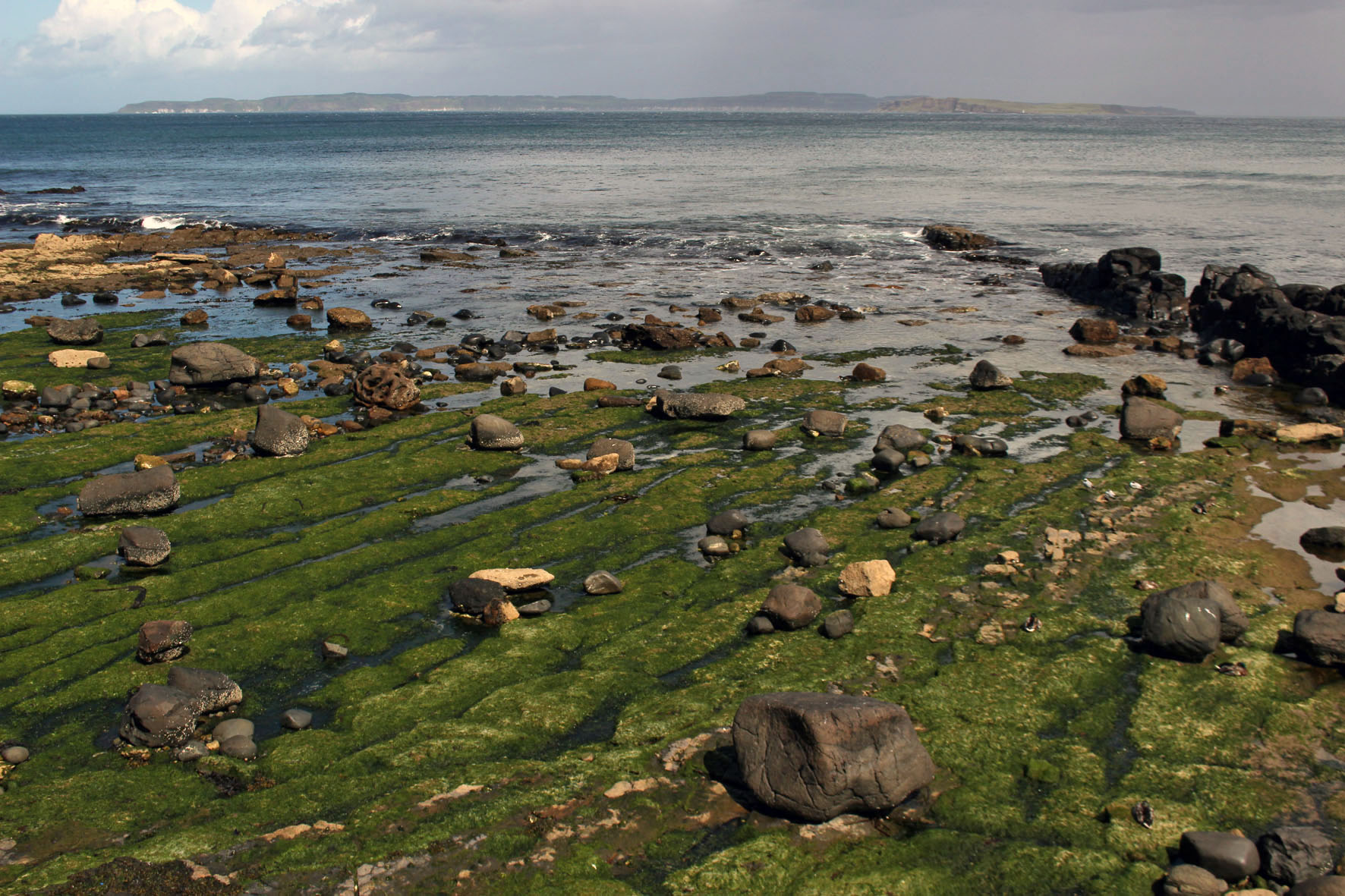
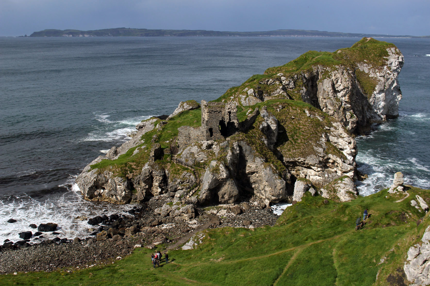
For one week this June this small island off the Antrim coast was a constant presence. The cottage we had rented stood high on a hill a couple of miles outside the resort of Ballycastle and the view to the north was an uninterrupted panorama of sea, sky and the long, low profile of Northern Ireland’s only inhabited island. The view depended on the weather, of course, which was something that changed constantly and wavered between overcast and mixed spells of sunshine and showers.

The L-shaped island that hugged the northern horizon was always visible, although in less clement weather it was sometimes little more than a hazy grey outline, a vague smudge that sat on the water. Sun or shine, two of the island’s three lighthouses were always in view, winking at intervals to alert shipping – the waters around Rathlin Island have a long history of shipwrecks and the remains of many unsuspecting vessels lie gathering barnacles at the bottom of the Atlantic close to its shore.

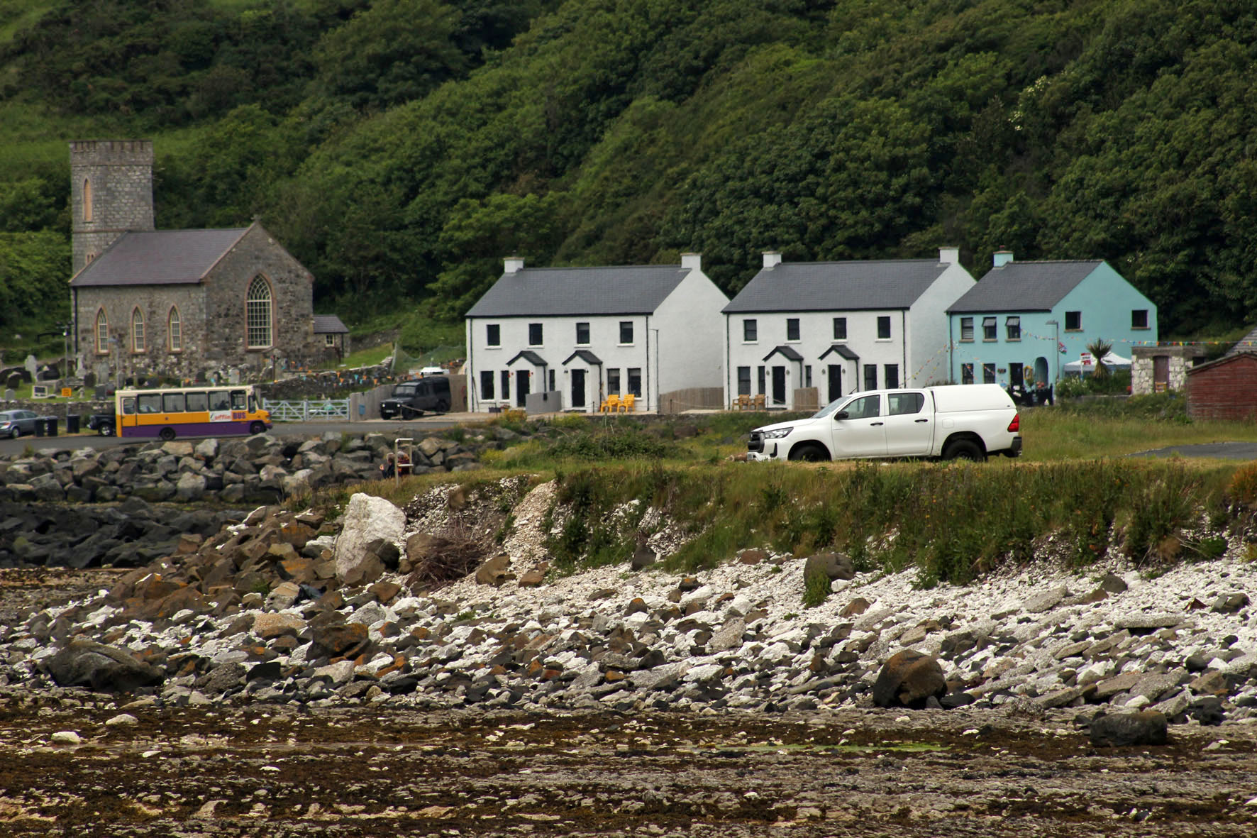
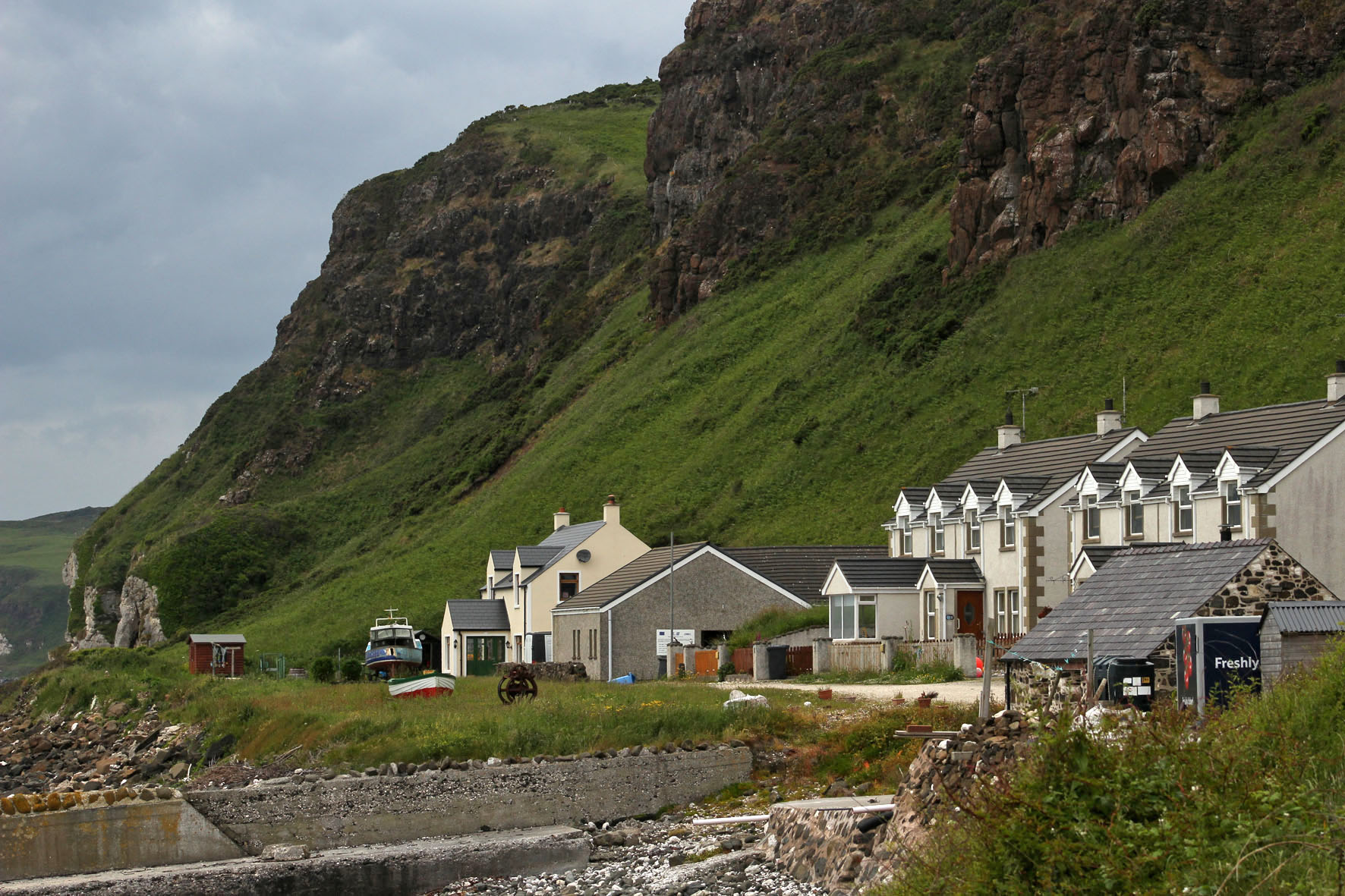
On sunnier days, more detail became evident and the island’s magpie cliffs of basalt and chalk could be clearly discerned, as could the houses and church of the village by the harbour. It was on these brighter days that other landforms also took shape on the horizon. Most days we could make out the southern end of the Scottish peninsula that is the Mull of Kintyre but now and then, far beyond the island, more distant places came into view – the hills of Islay and the unmistakable rise of the Paps of Jura.

From our perspective the island appeared to be at the edge of things. The most northerly point in Northern Ireland, it was the place where the island of Ireland gave way to the Atlantic. A small island that lay off the coast of another larger island, it seemed to be more an outlier than a stepping stone to anywhere else. But it was a place that had not always been so peripheral: long before today’s national divisions had come into play Rathlin had been central to the ancient Gaelic kingdom of Dal Riada, a political entity that included the coast of Argyll in western Scotland as well as part of what is now County Antrim in Northern Ireland.

Some days we could make out the ferry, Spirit of Rathlin, plying its way between Ballycastle and the island. On a day that promised to be calmer and sunnier than most we made the journey ourselves. As we drew closer to the harbour at Rathlin an increasing number of seabirds could be seen bobbing about on the water – a taste of what we would soon be seeing on the island itself. These were mostly guillemots but there were also small parties of gannets flying low over the waves, identifiable even at distance with their butter-coloured necks and long ink-dipped wings.

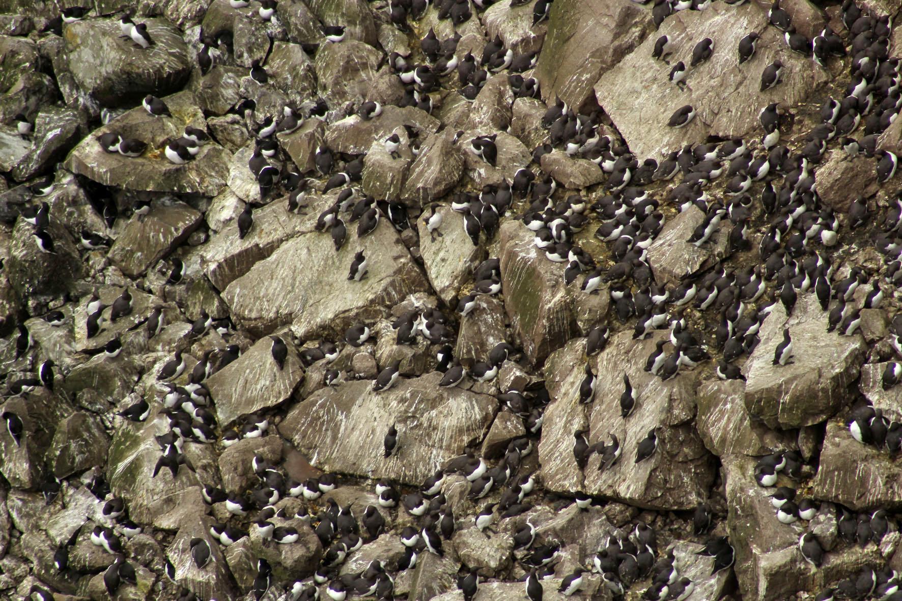
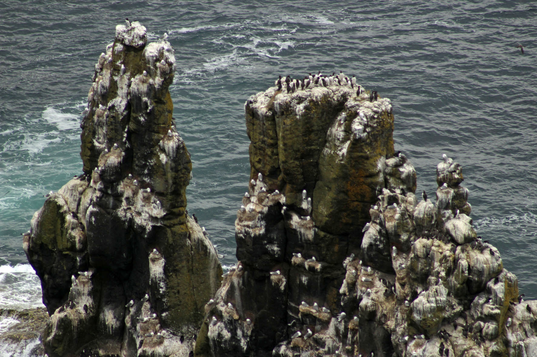
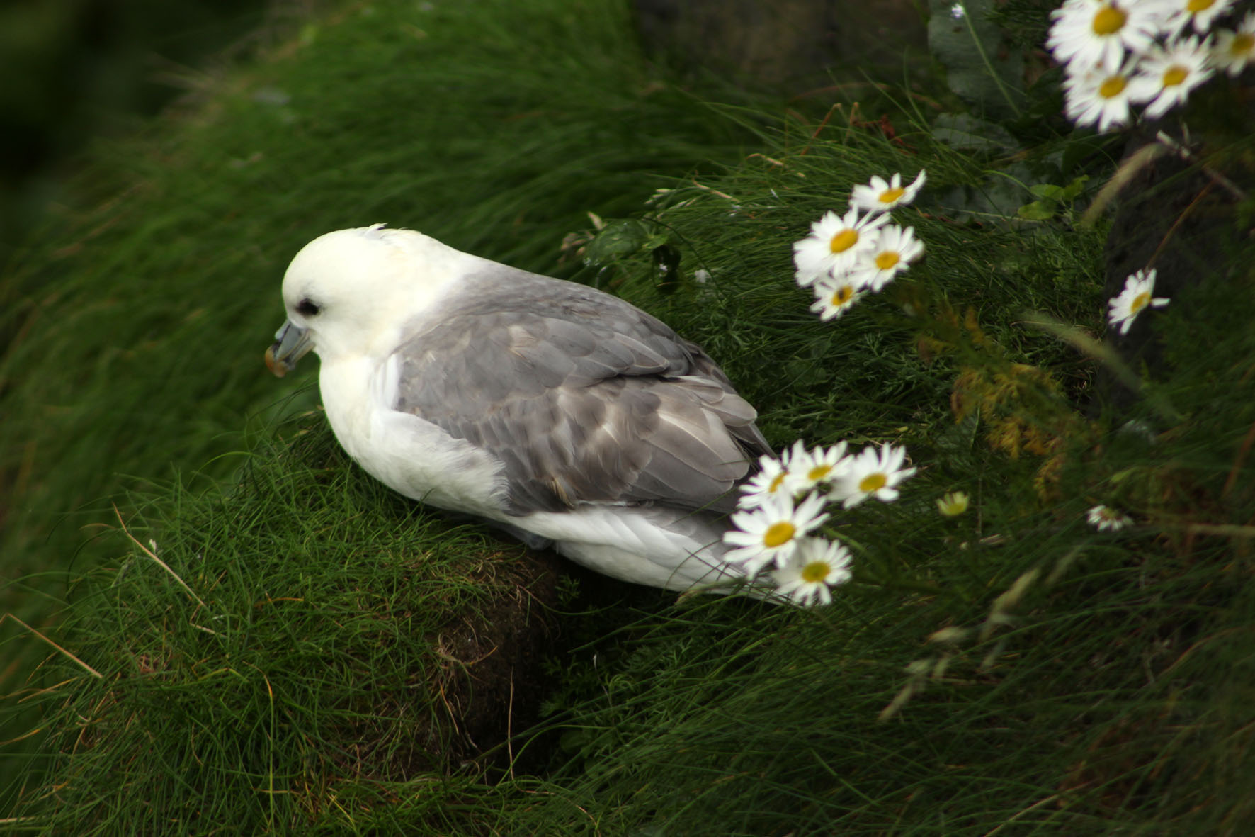
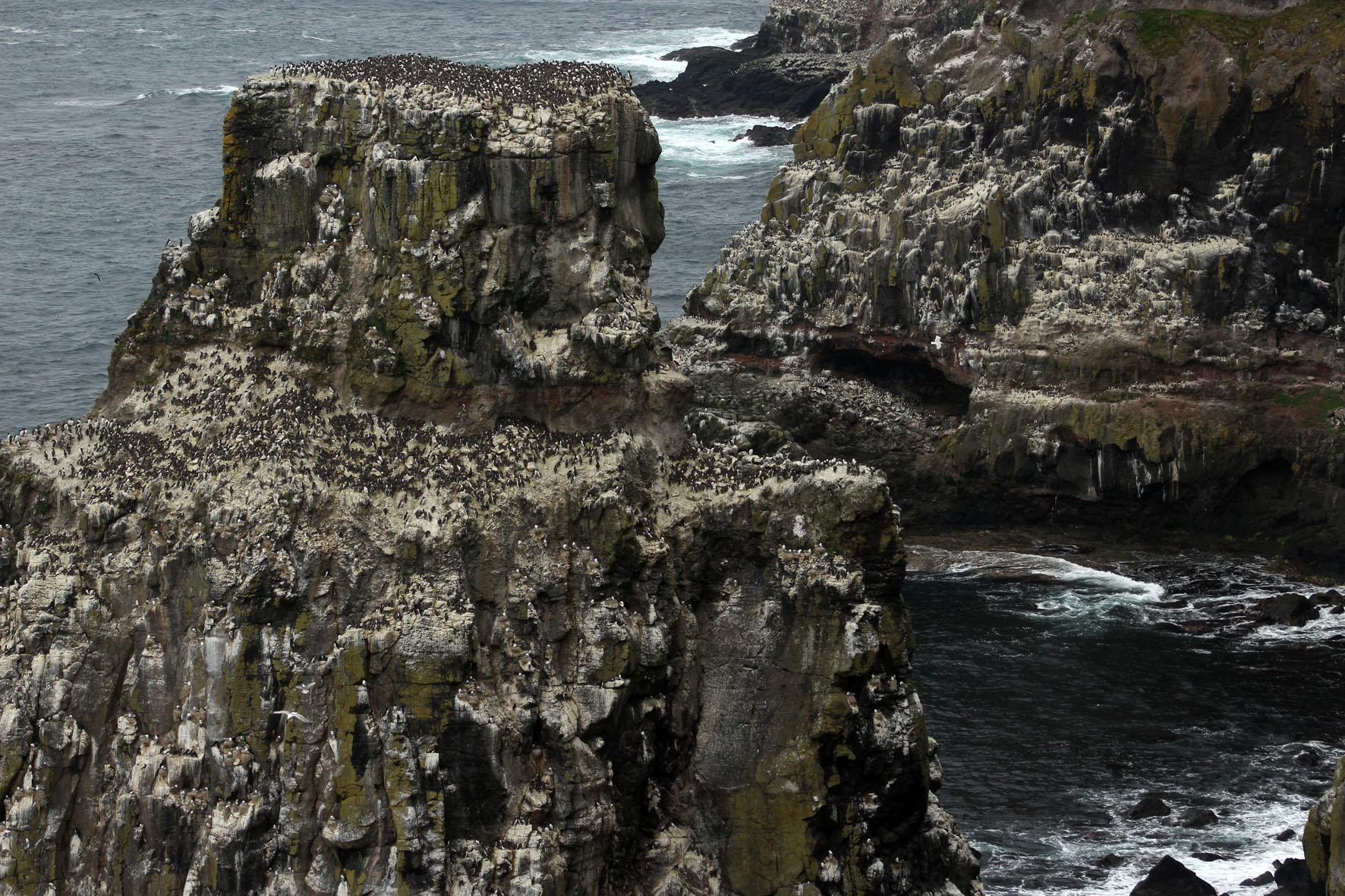
At Rathlin harbour, a bus – the ‘Puffin Express’ – was waiting to drive passengers across the island to the RSPB bird reserve at its western point. Here, steps led down to a viewing platform opposite the cliffs and stacks where the seabirds nested. The malodorous smell of guano grew increasingly strong as we descended – observing seabirds up close is undoubtedly one of the least glamorous aspects of bird watching. From the viewing platform vast numbers of seabirds could be seen at their nests opposite on the rocks – as closely packed as an urban high-rise but with distinctly separate enclaves of guillemot and razorbill, kittiwake and puffin. Closer to the viewing platform, a few fulmars, contemptuous of the excitable human presence and unperturbed by the relentless glint of expensive optics, had made their nests in the grass just beyond the barrier.

Driving back to the village, past fields of sheep and grazing cattle, our driver stopped the bus briefly to point out a cave to our left. It was the entrance, he said, to the stone axe mine that had existed on the island in Neolithic times.

In Belfast, a few days earlier, I had gone to see the so-called Malone Hoard at the Ulster Museum. The hoard was a collection of 19 beautifully polished stone axes that had been discovered on Malone Road close to the museum. The axes were around 6,000 years old and clearly ceremonial objects of some kind: not only were they too large to be of practical use for chopping trees but when they were discovered some of the stones had been found aligned vertically in the ground. Even behind glass, they were undeniably beautiful objects and had a curvy heft about them that seemed to invite handling. Given the understandable restrictions imposed by museums, this, of course, was not possible.

The axes had been identified as being made from a rock called porcellanite, a hard, dense impure variety of chert so-named because of its physical similarity to unglazed porcelain. Unlike flint, porcellanite does not flake easily and has a texture that accepts a fine polish and keen edge. There were only two possible sources of this scarce rock in Northern Ireland. Both were in Antrim. One was at Tievebulliagh, a 402-metre mountain in the Glens of Antrim; the other was on Rathlin Island. Both sources yielded rock of exactly the same physical and chemical makeup so it was impossible to tell which had been used for the Malone Road axes. For reasons of romance rather than anything more scientific, I preferred to think that these precious objects had originated here on the island.

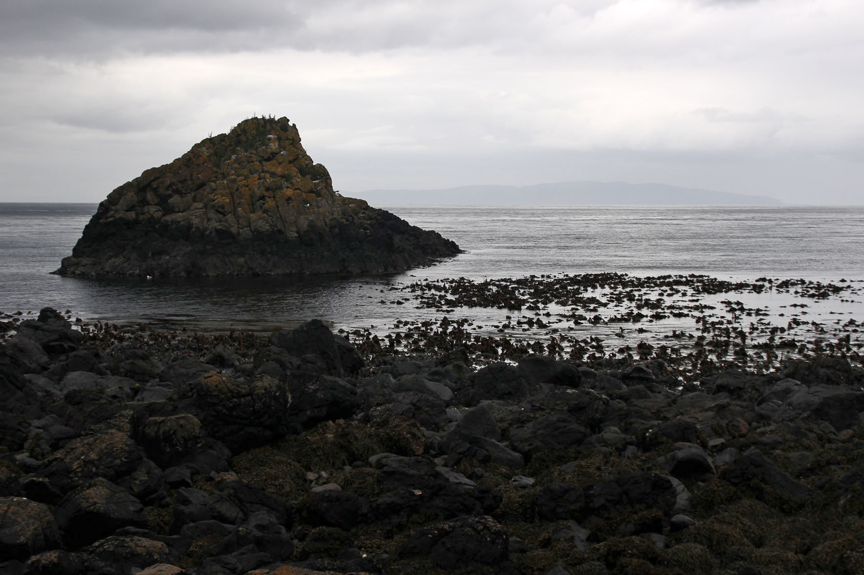
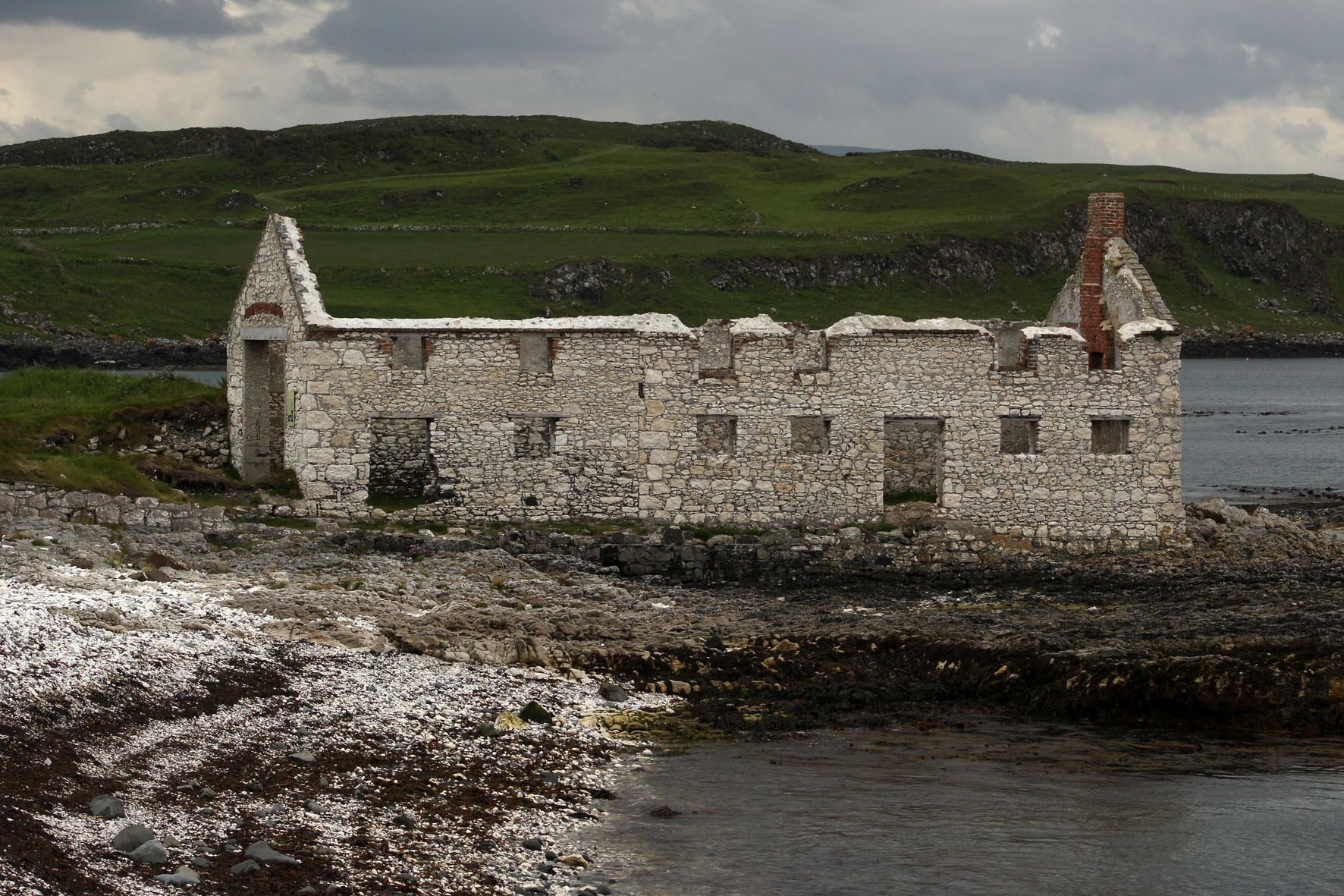
Back off the bus, we sat on the beach at Mill Bay listening to the piping of oystercatchers and watching grey seals as they made forays through the rafts of seaweed that lay just offshore. Seaweed was once a profitable business here. A little further on towards the harbour, an abandoned kelp barn stood roofless next to the shore. It was built of blocks of the same Cretaceous chalk that make up the white cliffs we could see from our rental cottage on the mainland.

After an unproductive listen for corncrakes in a field we had been told about by an RSPB warden we made our way to the jetty to wait for the ferry back to Ballycastle. Notwithstanding the lack of corncrakes, it had been a satisfying few hours. We were by now brim-full with all the wonders that Rathlin Island had to offer: the seabirds – the smell, the noise, the frantic flying about; the wider natural history of the place – the seals, the kelp, the garden flowers that had gone feral and colonised the island’s dry stone walls. Then there was the geology – the Cretaceous chalk and Tertiary basalt of the cliffs, the flints on the beach, the cave with its supply of elusive porcellanite. It would have been nice to have taken a peek inside the cave where the stone axe mine had been but it did not really matter. Prehistory, myth and memory are all intertwined and we make our own emotional truths. Whatever the true archaeological facts of it, in my mind at least the Malone Hoard axes would always be associated with this place on the edge of things.

The Hare and the Point

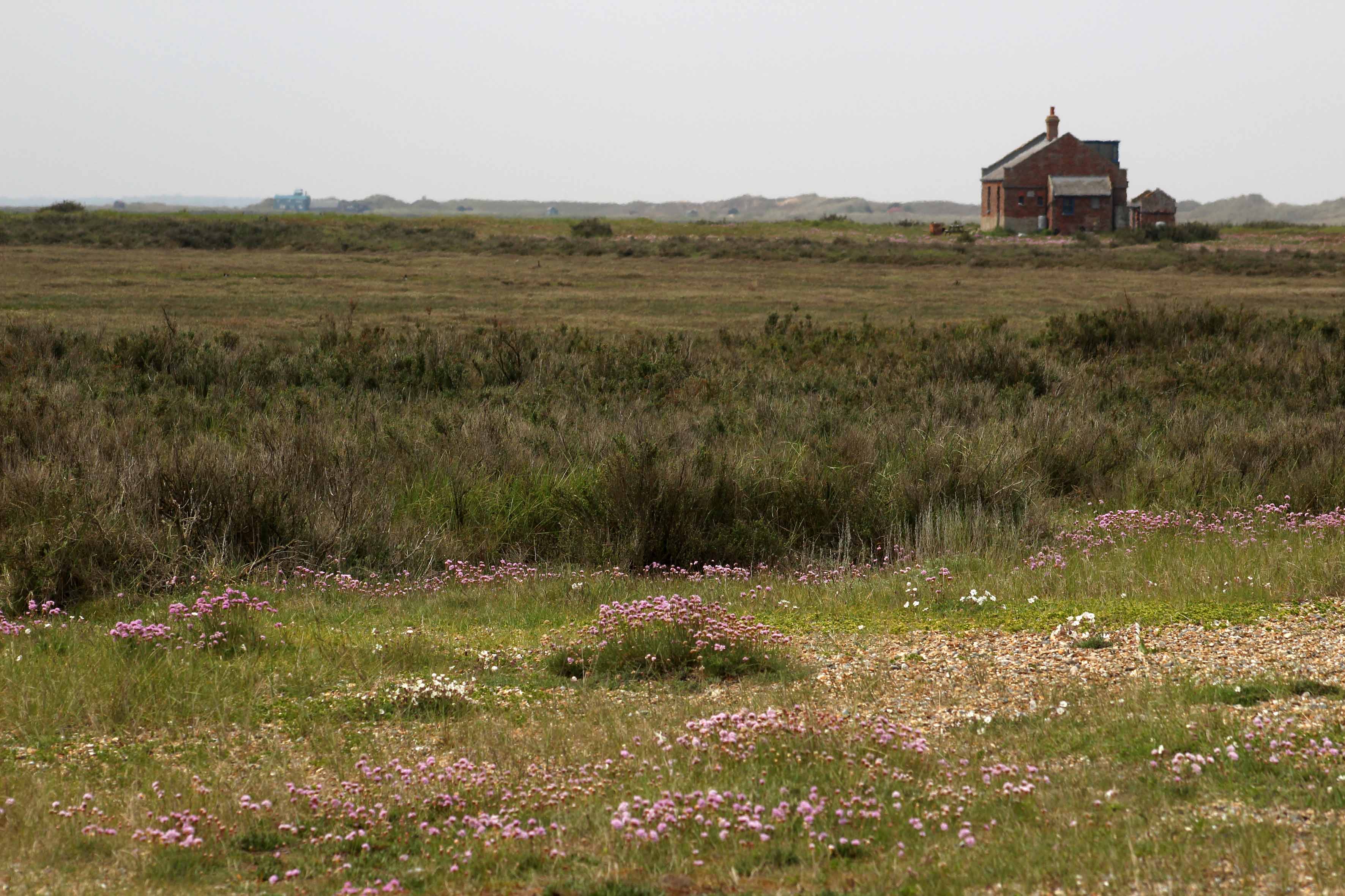
A warm, slightly hazy day on the north Norfolk coast; a day caught on the cusp as an unusually cold spring stumbles into an, as yet unknown, summer. We walk west past a few lobster boats from the beach car park at Cley-next-the-Sea, scrunching through the shingle to reach a meandering path that leads through low glaucous shrubs at the edge of a salt marsh. Just beyond the shingle ridge to our right is the North Sea, a constant mineral grumble of pebbles grinding on the tide; an aural massage – maritime poetry in motion. In the distance ahead, a solitary single–storey building, ‘Halfway House’, cuts a lonely figure in the landscape. Beyond this, in the murky haze at the very end of the Point, is the bright blue of the onetime lifeboat station that now serves as a visitor centre.

So what’s the point? Or rather, where is the Point? Blakeney Point is a shingle spit that begins at Cley Beach and extends like a claw nearly four miles to the west, the result of centuries of longshore drift piling up sand and stone to create new land. Although famous for its breeding population of harbour and grey seals, we are here today for its little terns, which nest at awkward and not particularly sensible places in the shingle leaving their eggs vulnerable to high tides and attack by opportunist predators like gulls and kestrels. Our friend Hanne is one of several volunteers responsible for keeping an eye on the birds.

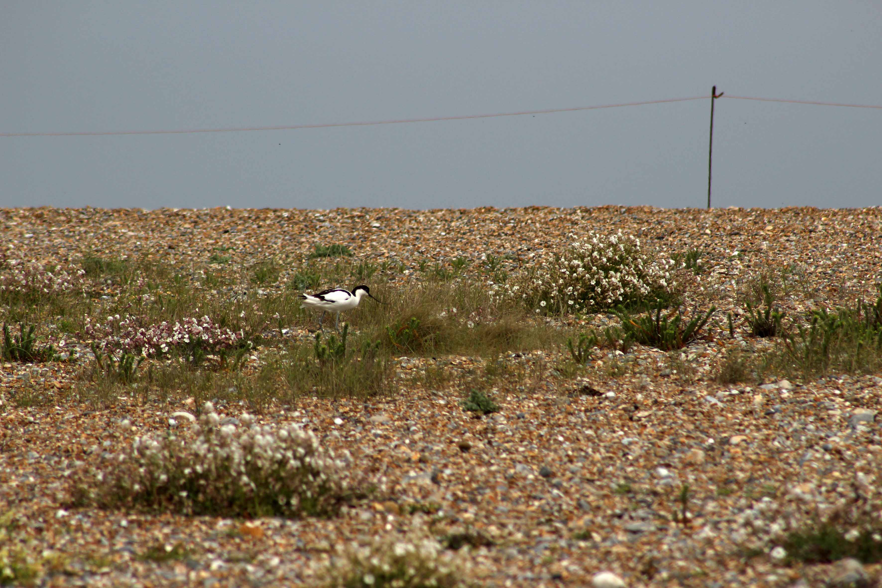
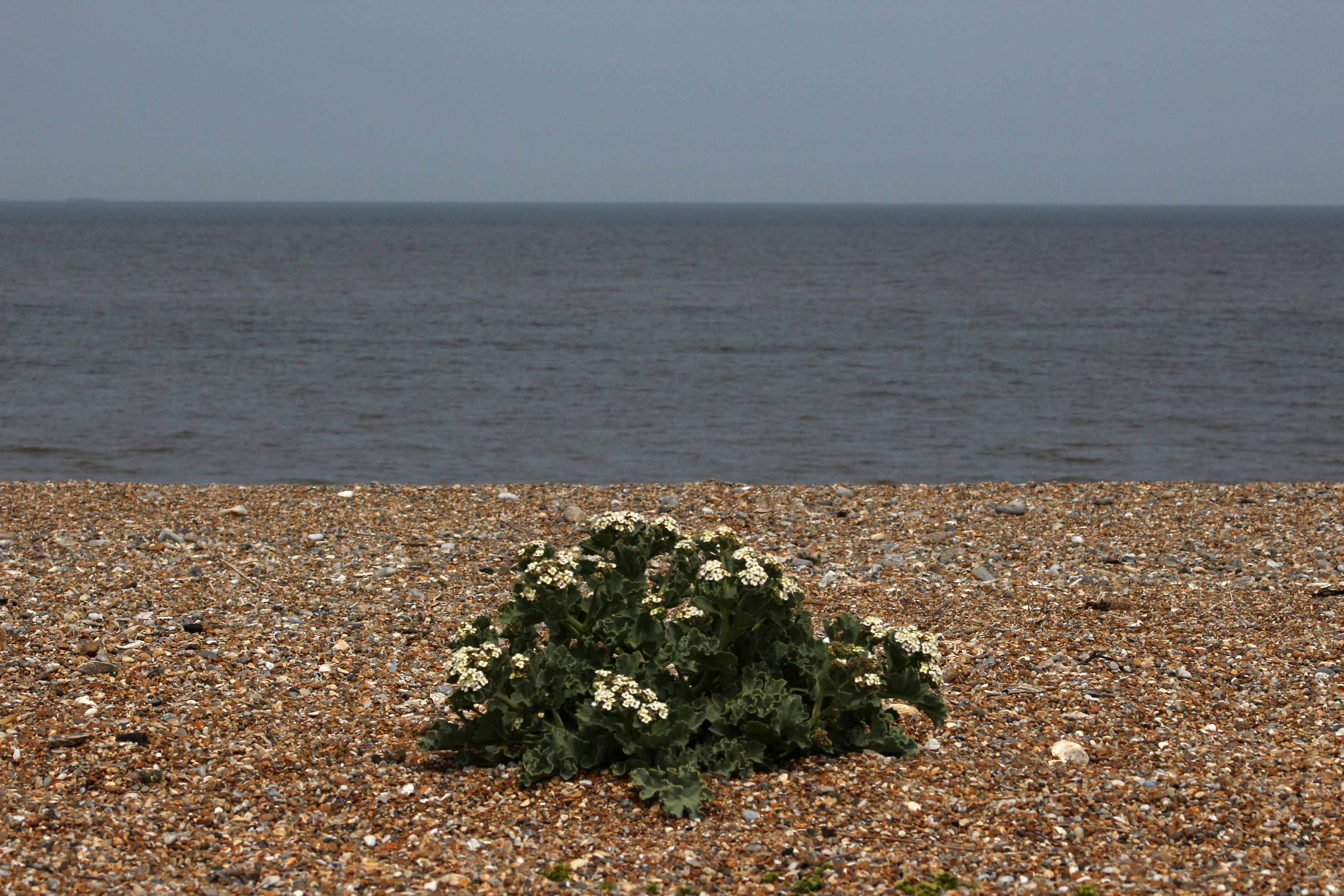
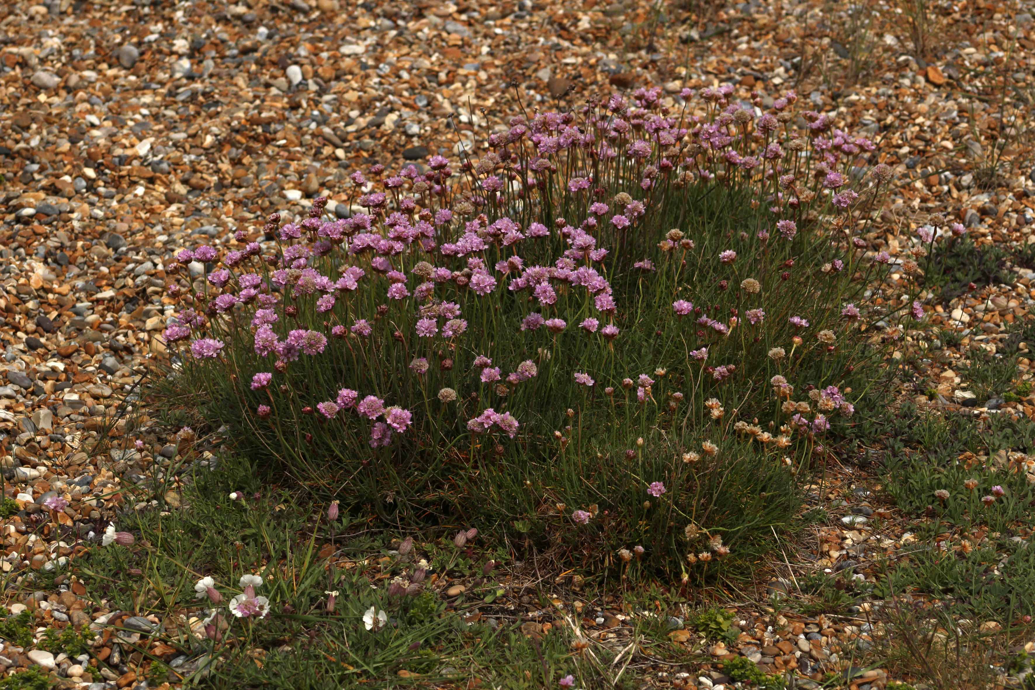
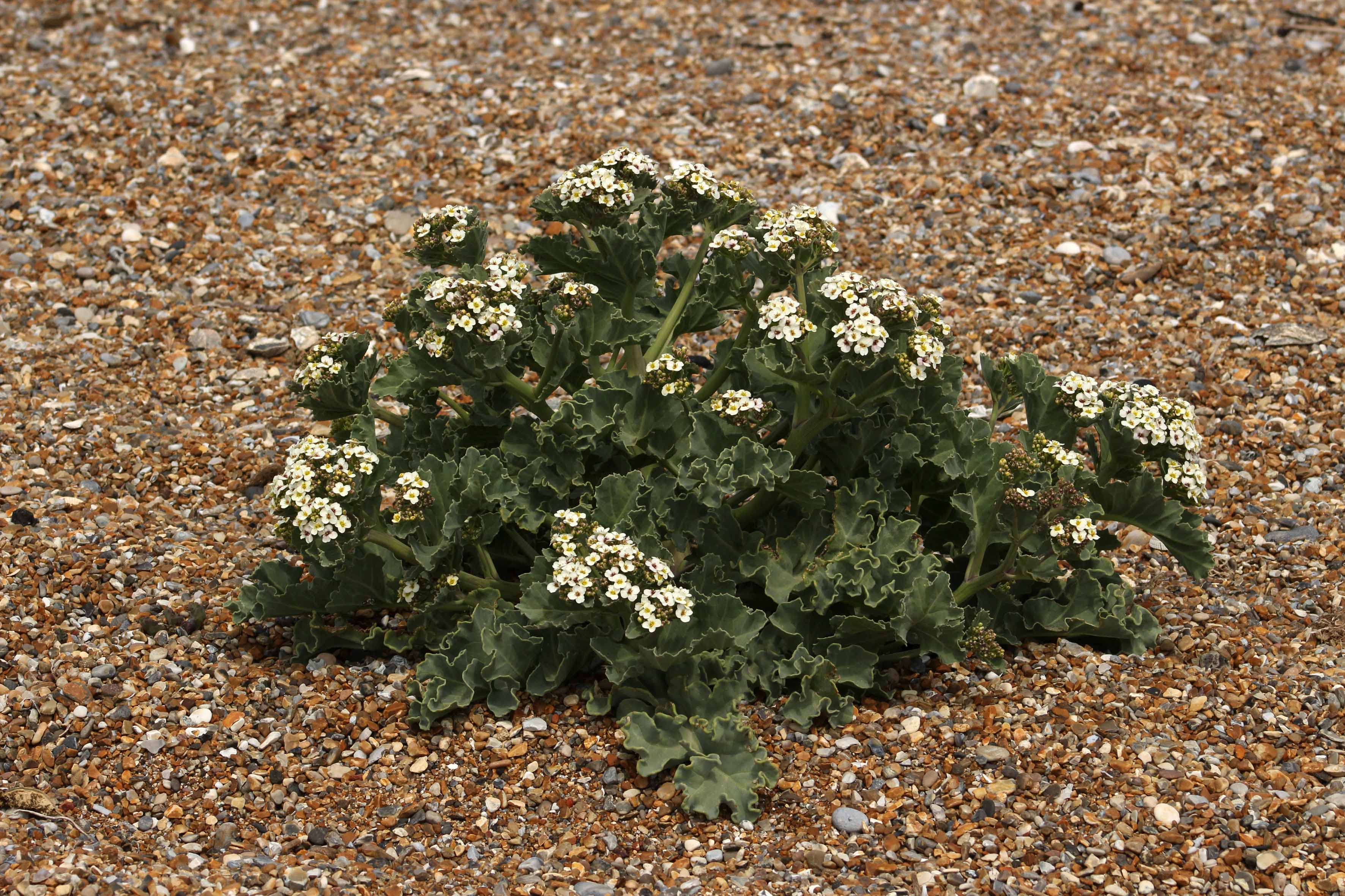
A cordoned-off area of shingle encloses some of the tern’s nests, although many by now have moved on west to the end of the Point. There are oystercatchers too, and avocets – each species doing its best to mind its own business. Salt-tolerant plants like sea beet, sea campion and biting stonecrop are all anchored in the firmer shingle, while at the looser-stoned apex of the ridge that slopes steeply down to the water seakale is in full bloom. Elsewhere, clumps of yellow horned poppy, another shingle specialist, are starting to throw up flower heads in readiness for blooming. A place that instinctively you feel should be barren; it seems remarkable that anything can grow here nurtured by little else but stone, sand and saltwater.

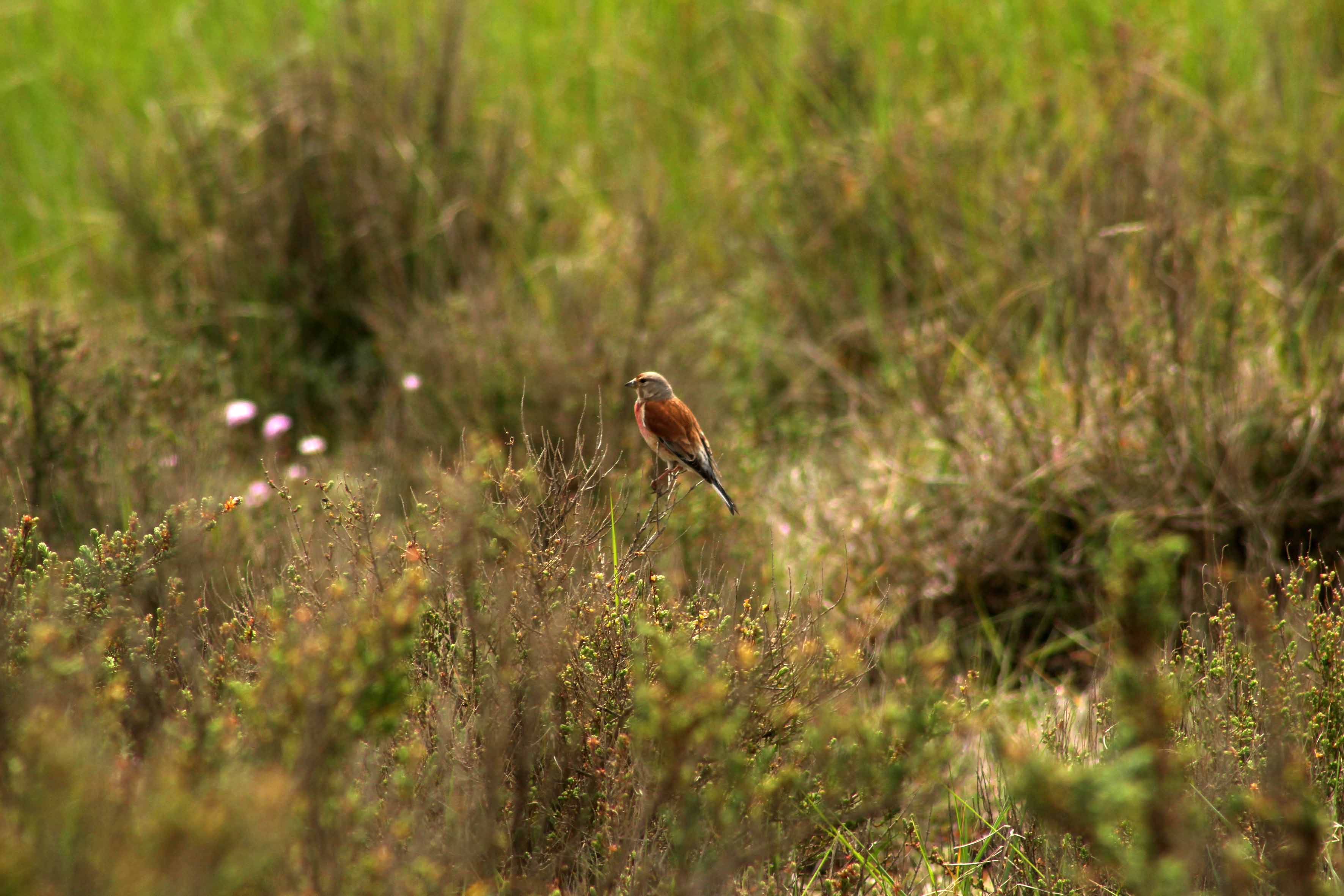
Hanne takes us for a walk up towards Halfway House. A skylark sings high overhead, little more than a high fidgeting dot to the naked eye. In the distance, across the marshes close to Blakeney Channel, we catch sight of the unmistakable form of a marsh harrier quartering the reed beds. On the Point itself the bushes are alive with restless flittering birds that turn out to be a mixture of meadow pipits, linnets and reed buntings, although at times of migration almost anything could turn up here. And it does: as first point of landfall for any bird carried unwittingly by powerful winds from the north, Blakeney Point has an impressive record of rare sightings.

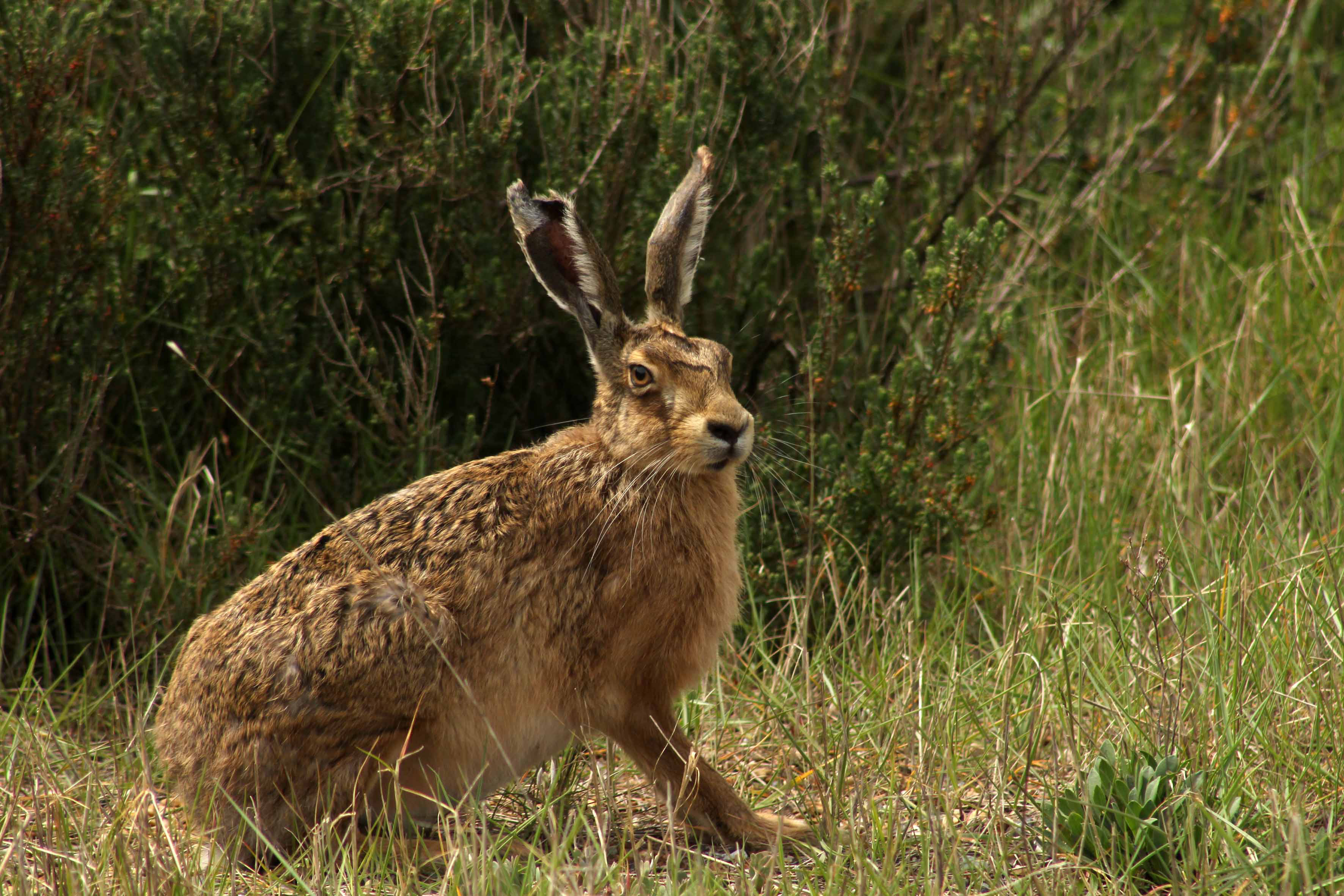
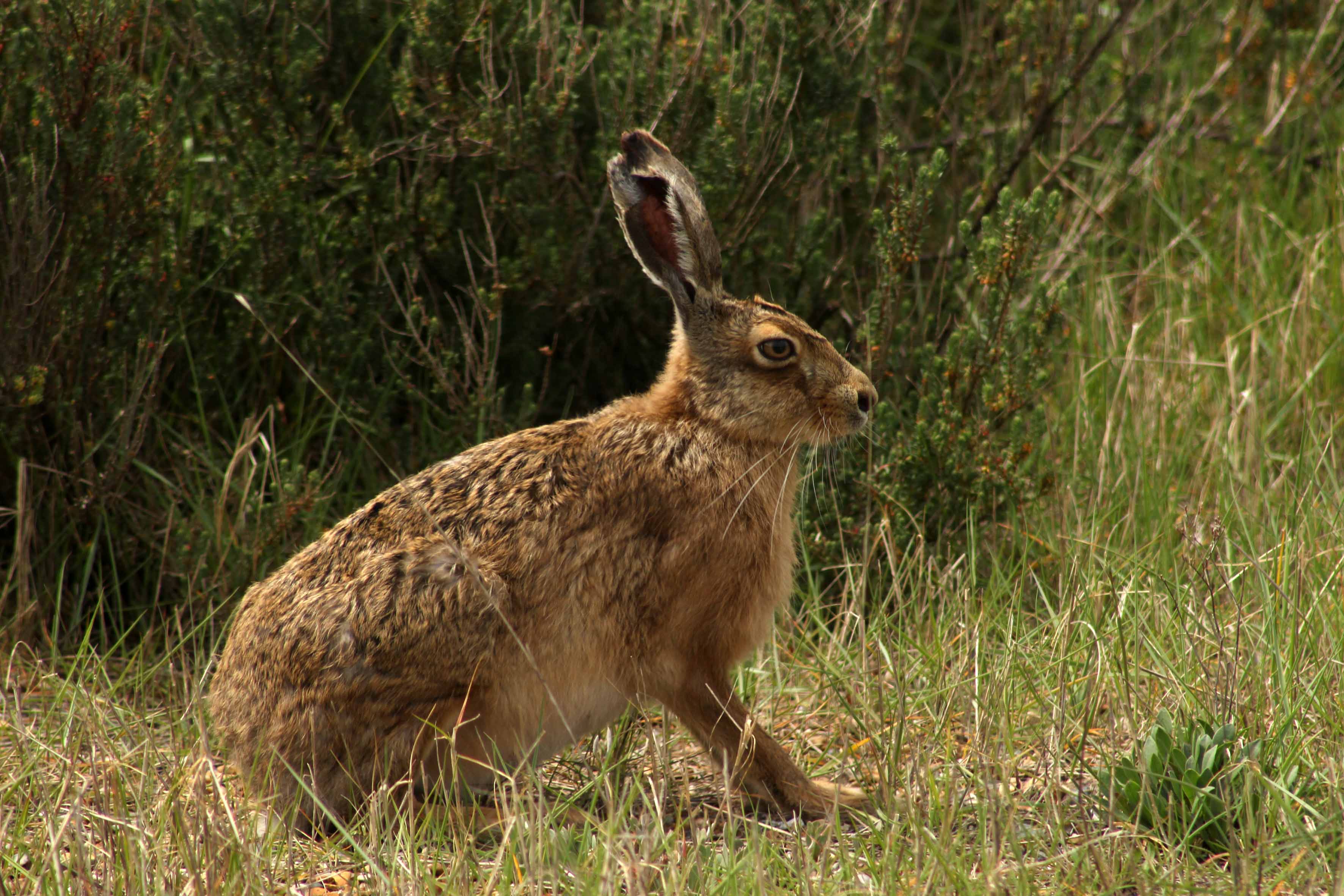
Our most impressive sight by far, though, is a meeting with a brown hare – or, rather, a pair. One of them makes a run for it and disappears into the Suaeda (shrubby sea-blite), the other remains, frozen in its tracks, hunched with long ears flattened to its head in an effort to make itself small. In some ways more resembling a small deer than a large rabbit, with improbably long ears and soft, intelligent eyes, it is easy to see how hares have always been revered in British and European folklore. Long gifted magical properties by those whose livelihood affords them a close relationship to the soil, hares engender a strong sense of ‘the other’: a sacred animal, a spirit familiar, a symbol of fecundity, sex and madness. A means of divination too: the Iceni warrior queen Boudicca is said to have read the entrails of a hare as an augury for victory against the Romans in her uprising of AD61.

The hare slowly adjusts to our presence and cautiously and slowly raises its ears, then straightens its legs before finally bolting off to join its companion. Our serendipitous encounter has been no more than a minute in total but the whole incident has put a temporal brake on the space-time continuum. As the hare moves off, time – at least the quotidian linear time that embraces cause and effect – is finally unfrozen.

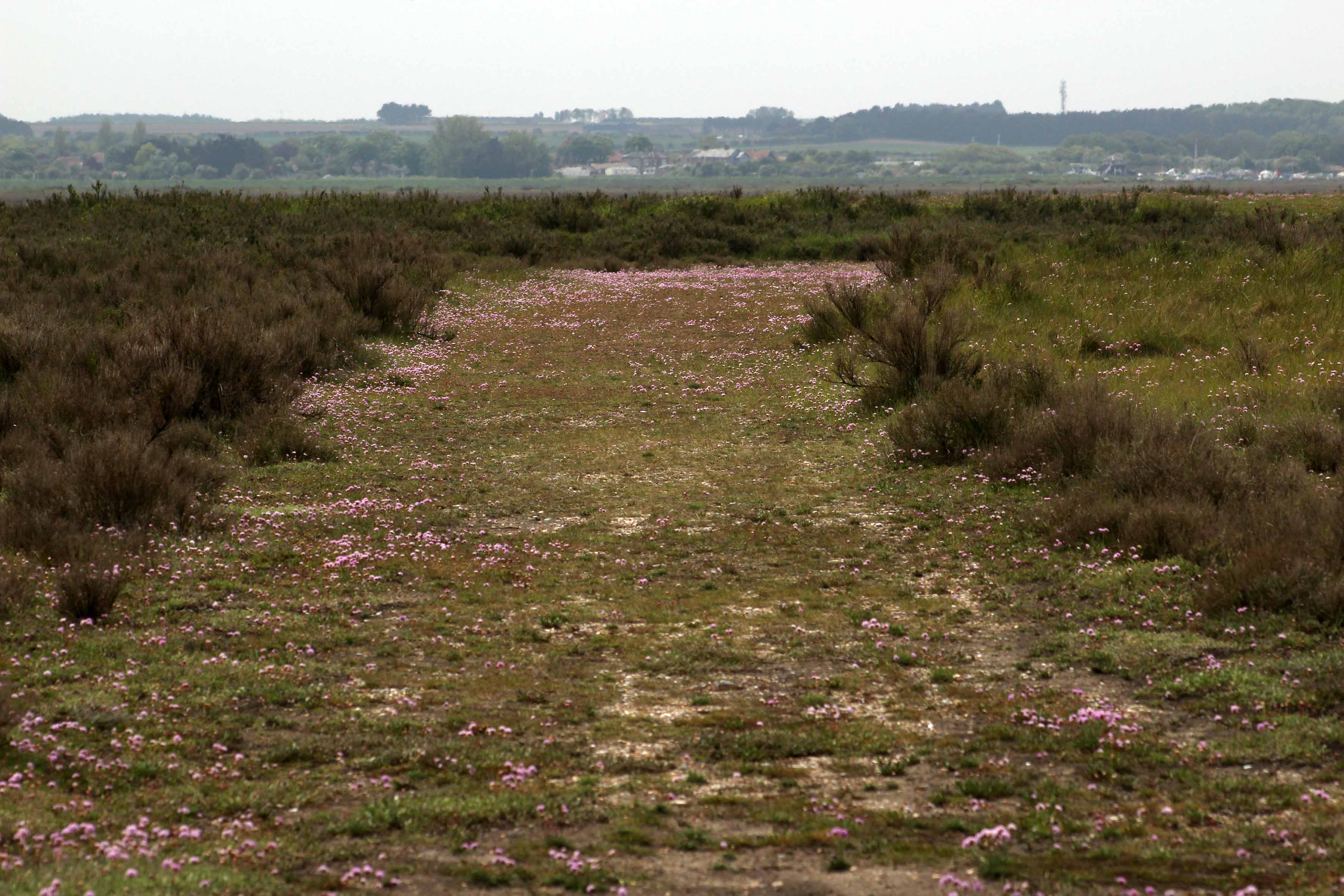
We continue our walk to head down a wide swath of firm shingle and sea thrift that Hanne calls the Fairway. It leads to the edge of a tidal creek close to Halfway House. The highly prized real estate of Blakeney village is clearly visible across the channel that separates us from the ‘mainland’, as is St Nicholas’ church high above the houses and, west of this, the iconic windmill at Cley. In the network of creeks and mudflats that fringe the channel, redshanks alternate between stabbing the mud in search of invertebrates and flying short distances, calling plaintively as they go. At the muddy margins, marsh samphire is starting to emerge, although it is still too early to pick. Heading back to the car park, we walk along the sloping beach alongside the outgoing tide. Beyond the silhouetted fishing boats ahead, the distant cliffs of West Runton are visible in the sea-hazed distance. Just pure sea-sound now: no motor vehicles or human voices, just the swash of waves on pebbles, the piercing cry of terns and the aerial clatter of a skylark beyond the ridge to our right.

Many thanks to Hanne Siebers and Klausbernd Vollmar for their company on the Point. Check out Hanne’s wonderful photographs of Casper, Cley’s leucistic barn owl at The Silent Hunter

Fogbound: Heacham to Old Hunstanton

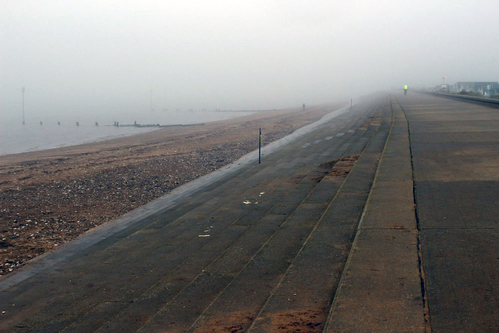
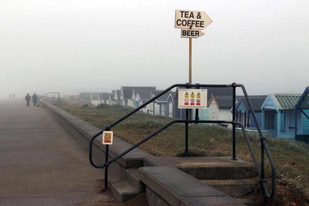
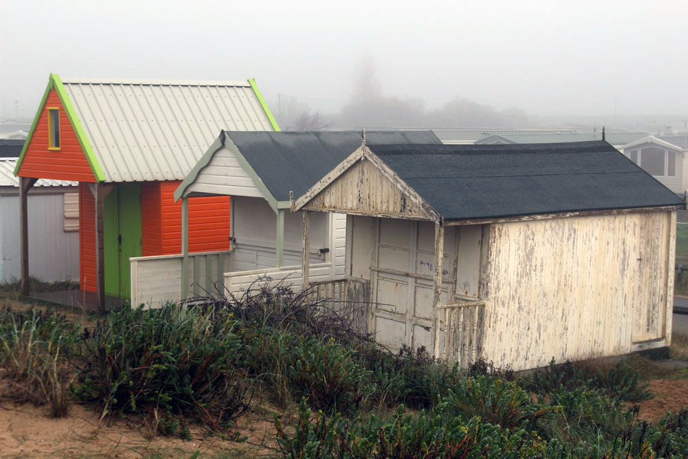
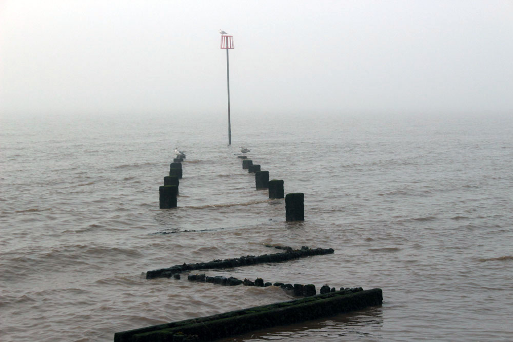
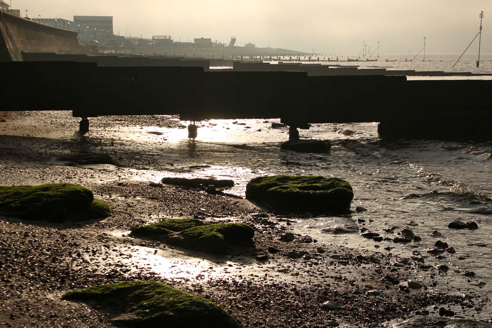
Earlier this week we walked from Heacham to Old Hunstanton along the seawall. To say that it was a bit foggy would be an understatement as the whole of northwest Norfolk lay shivering under a thick blanket of dense fog – a white-out, or rather ‘grey-out’, that rendered visibility poor in the extreme.

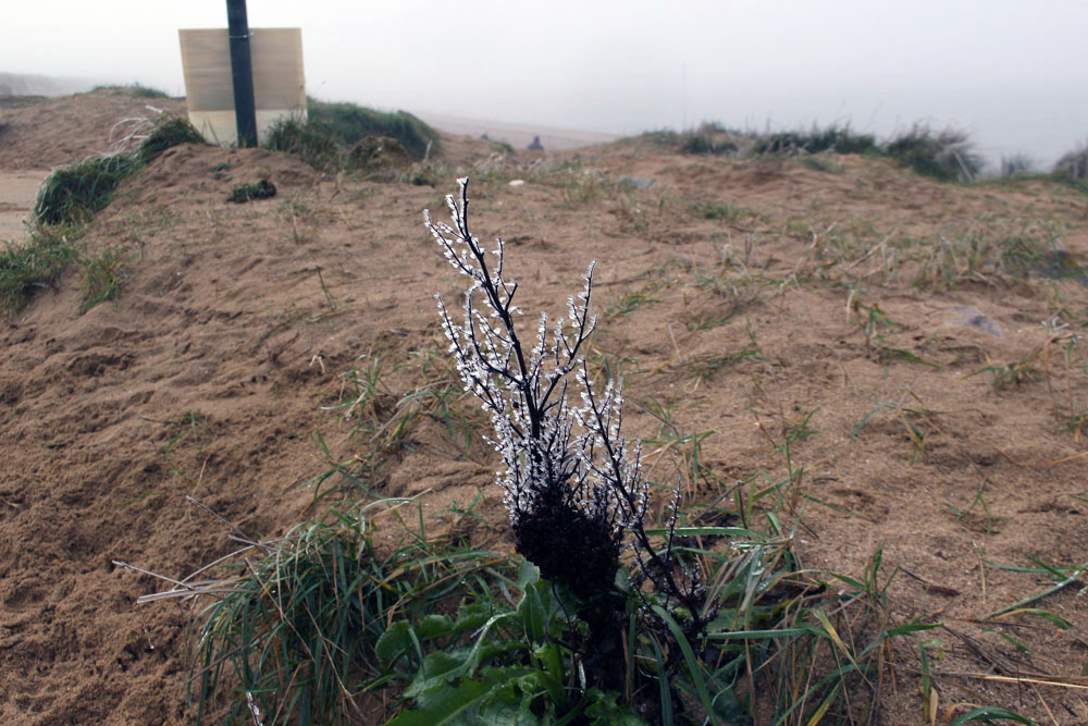
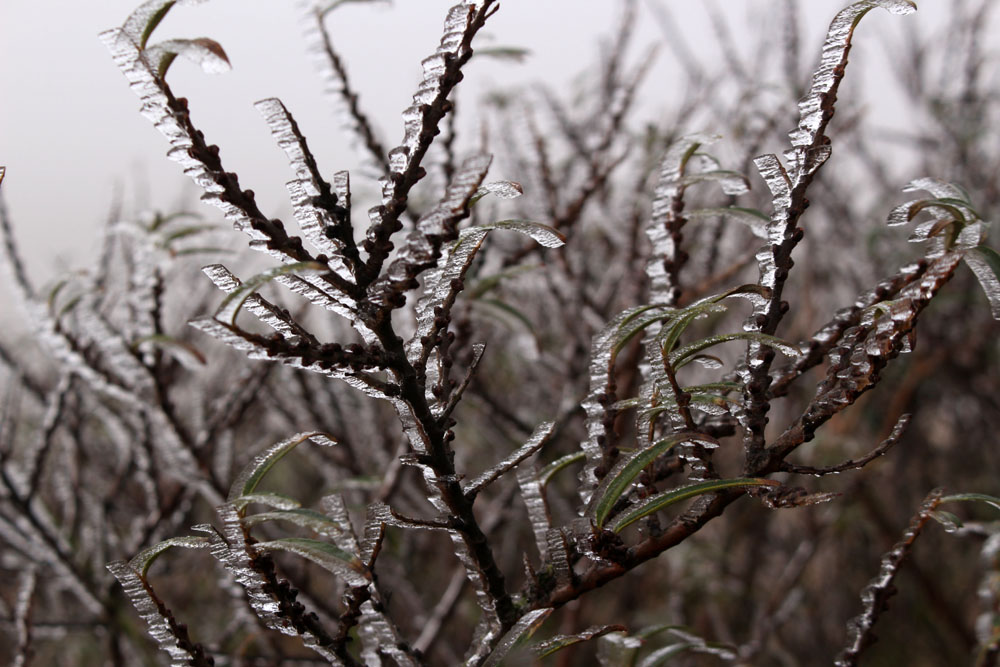
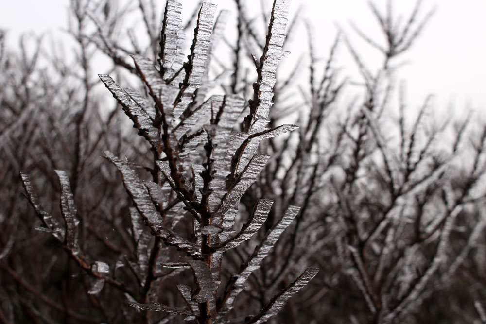
We made our way through Heacham village, past gingerbread carstone cottages and then holiday bungalows and caravan sites before arriving at North Beach, where the previous night’s freeze had created thin blades on the stems and leaves of shoreline plants and shrubs.  

A few distant ghostly figures could be seen out on the wall, walking dogs or just taking exercise. The Wash that lay ahead was an unappetising grey soup that disappeared from view not far beyond the groynes that ran into it. On the far shore lay Lincolnshire; today, it may as well have been Narnia. It is said that on a clear day it is sometimes possible to make out Boston Stump (the soaring tower of Boston’s St Botoph’s church) on the distant shore. Not so today. The tide was going out, its recent turning delineated by a line of seaweed, broken shells and energy drink cans. A washed-up sprig of plastic holly added a timely if lacklustre reminder of the coming festive season.

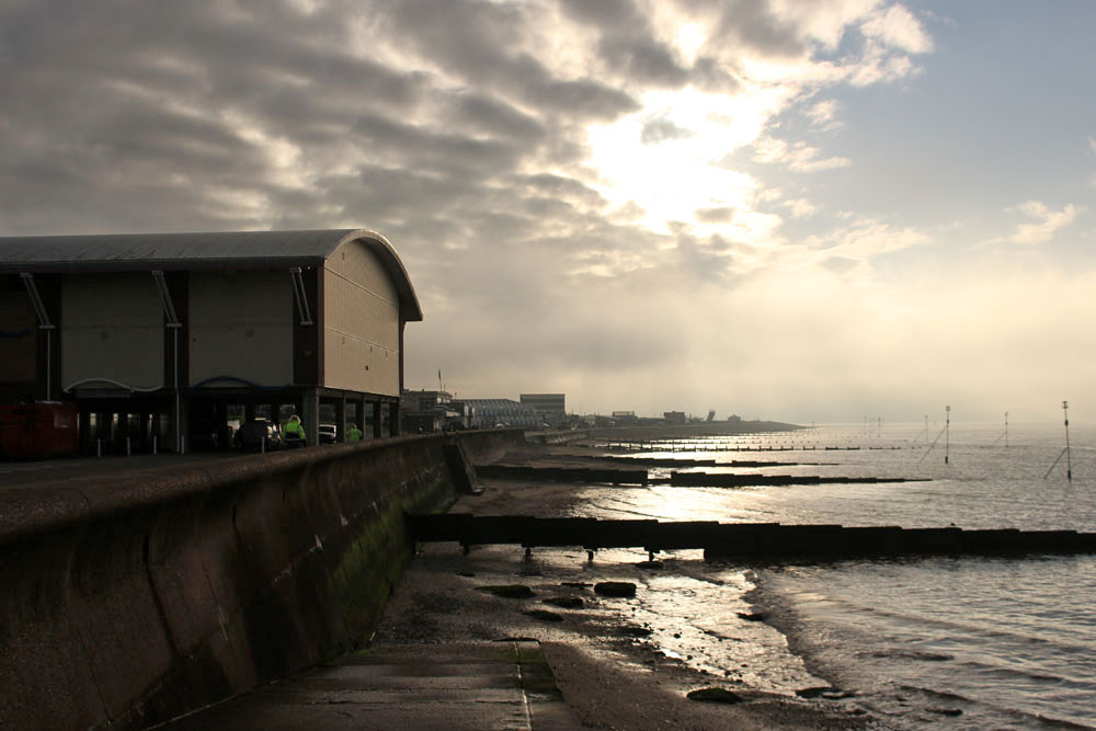
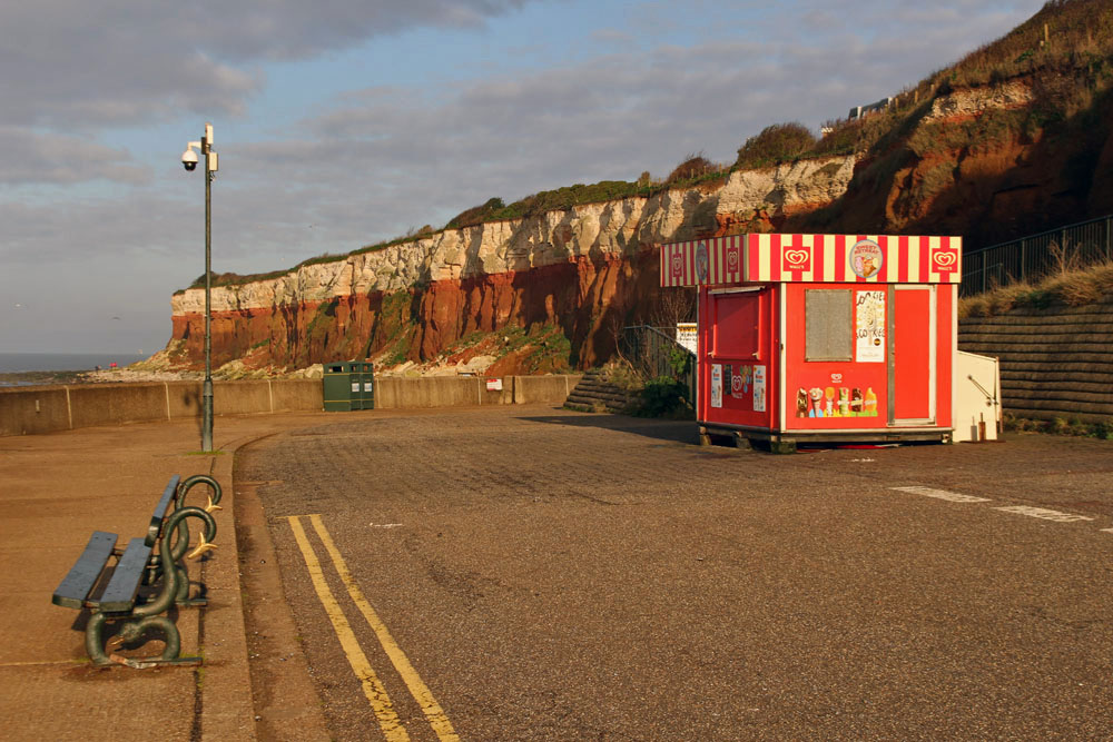
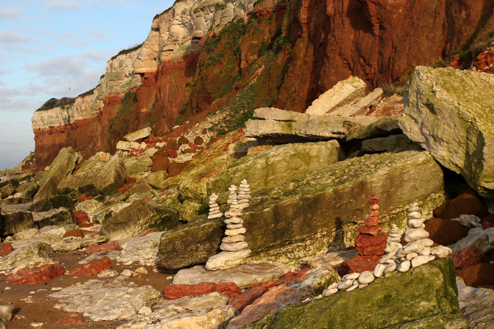
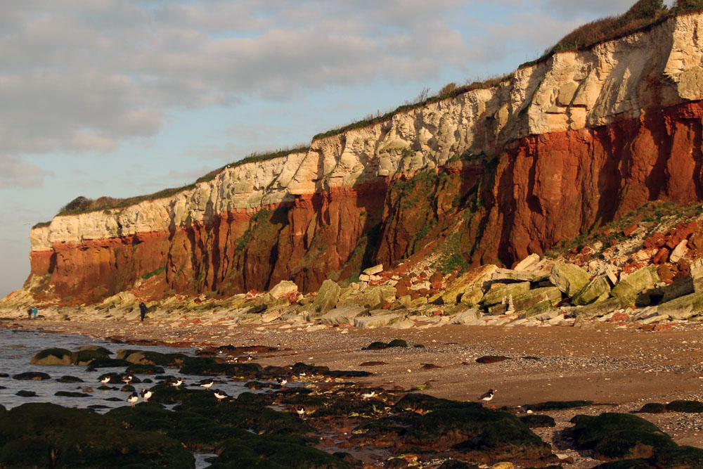
Approaching Hunstanton, the resort slowly came into focus as the mist started to clear. Soon after, a hazy disc of sun shone through and fragments of blue sky began to piece together overhead. By the time we reached Old Hunstanton the transformation was complete – perfect light to appreciate the banded cliffs that rise here. Some unknown hand had created a piece of citizen landscape art on the beach – a collection of painstakingly assembled cairns of red and white chalk that echoed the cliffs of the backdrop. On the shoreline, oystercatchers perched companionably on seaweed-covered rocks while sanderlings scurried like clockwork toys and turnstones did exactly what their name suggests. A scene to savour, albeit briefly – by the time we turned around to walk back into town fog was already starting to descend once more.


Winter Light

IMG_7877

Even in winter, the northeast Norfolk coast has its attractions, especially over the Christmas and New Year period when many flock here to see the grey seals that come to the beaches of Winterton and Horsey to give birth. For many it is an annual outing, an opportunity to walk off seasonal excesses, to get close to nature, to delight in the spectacle of the seals and their pups. Some are tempted to get too close, of course, but these days a dedicated army of volunteers in hi-vis orange jackets ensure that visitors and their naturally curious dogs do not disturb the vulnerable animals on the beach.

IMG_7838

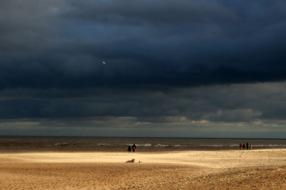
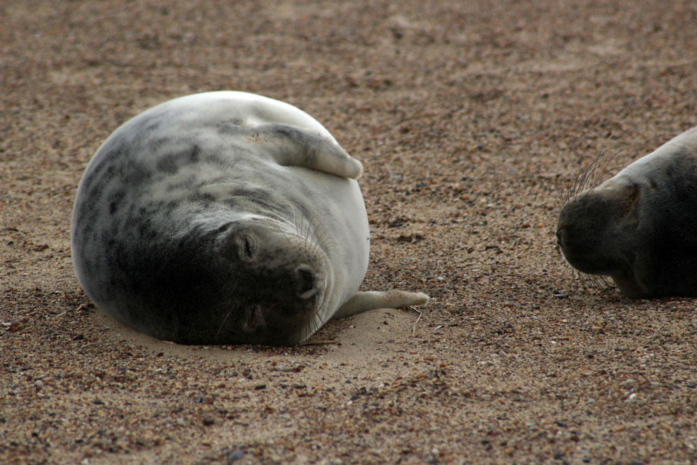
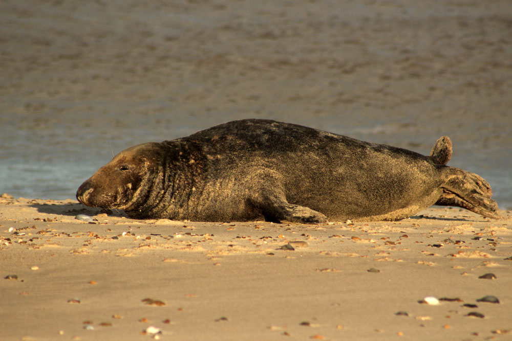
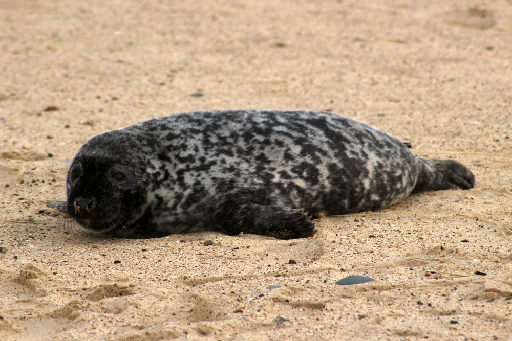
We arrive to find grey seal mothers and their fluffy-coated pups scattered like driftwood along the shoreline. Some are on the sand close to the breaking waves, while others are further inshore along the tideline, or even in the hollows of the dunes that back this coastline. Here and then along the beach, a hefty bull seal waddles in awkwardly from the surf to try his luck with one of the nursing females – this is the season for both breeding and mating.

IMG_7809

IMG_7859

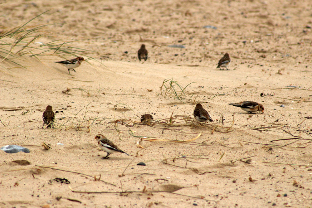
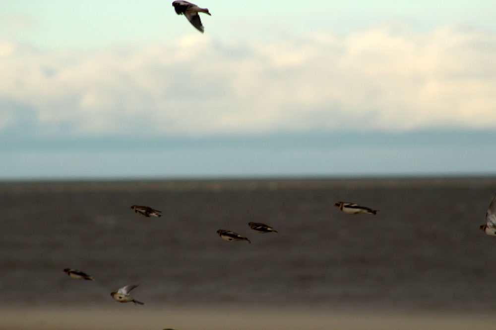
The seals are not the only creatures of interest here today: walking north along the beach, a small flock of snow buntings – perhaps 20 or 30 birds – rise like a flurry of sleet on our approach before setting down again a little further ahead. Winter visitors from much further north in Scandinavia and the Arctic, they resemble frosted sparrows as they peck busily at the seaweed, sticking close together for security.

IMG_7759

IMG_7828

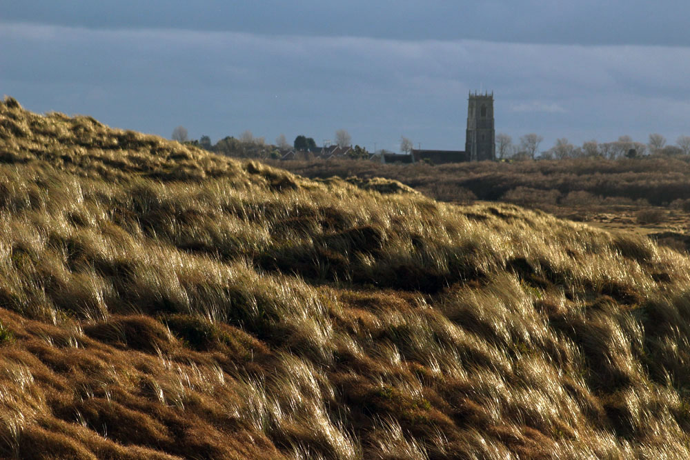
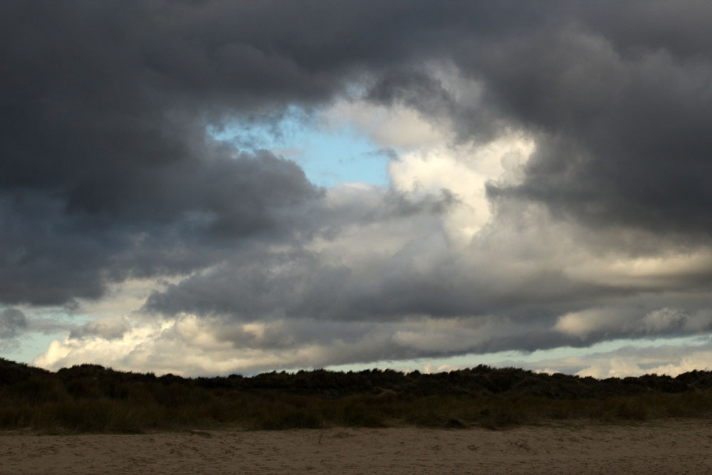
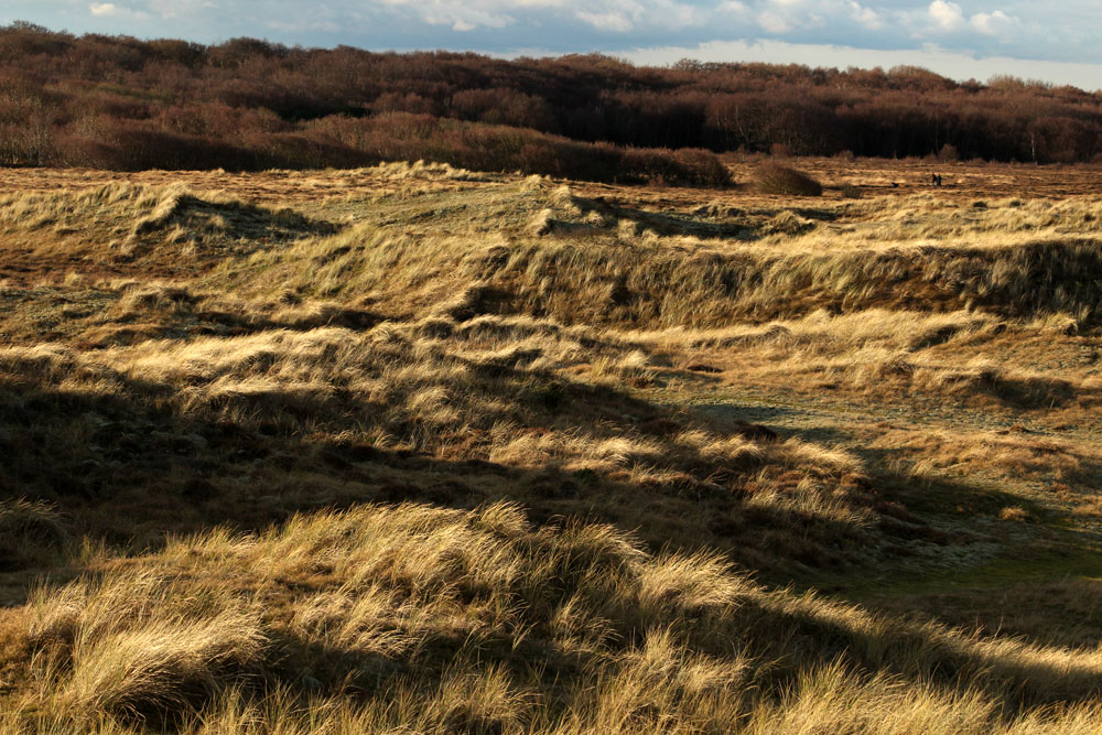
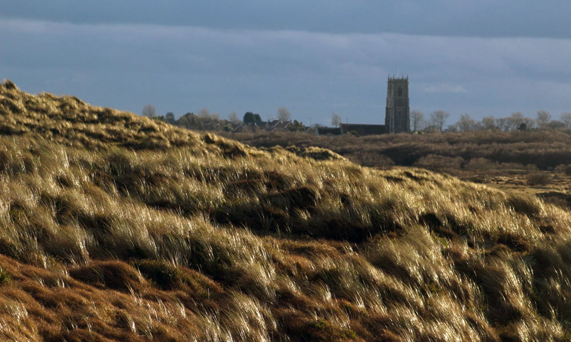
The seals and birds are engaging but the real star this cold January afternoon is the quality of the light, which morphs from gloom to gleaming in the space of half an hour. At first it seems as if the sky is weighed down like stone beneath a dense slate-grey sheet of stratocumulus but cracks soon appear and, like a hagstone held to the eye, an opening forms in the clouds to reveal the blue that lies beyond. As the sun loses height  beneath the cloud layer, shafts of pale golden light break through. The play of light on the dunes invokes a ghostly atmosphere. The wind-bent marram grass of the dunes, caught in the glow, seems almost fluid – an impressionist rendering of a wave-tossed ocean. In the distance, beyond the luminous marram, the Perpendicular tower of Winterton’s Holy Trinity and All Saints’ Church rises loftily above the crouched bungalow roofs of the village. This fleeting serendipity of light gives the scene a numinous quality, an eerie supernatural glimmer. It is a scene that might be co-opted for the cover of a book of ghost stories – a lost work by M.R. James perhaps.

IMG_7735

IMG_7890


IMG_7928

IMG_7991

IMG_7816

IMG_7818

Black Sea, Blue Sky – Balkan Rain

IMG_5898

This rain that has been falling almost incessantly here for the past 48 72 hours seems to have followed me back home from the Balkans. Travelling coast to coast, from Adriatic to Black Sea, over a three week period I experienced completely rain-free days only at the very beginning and end of my trip.

After a sunny start in Zadar on the Croatian coast a low blanket of rain cloud followed me all the way from Dalmatia to Srem, then eastwards to the Serbian capital. Rainfall dampened most of my days in Belgrade, pooling the pot-holed pavements of the Old Town, swelling the Danube and Sava rivers, soaking my inadequately-clad feet. The view from my apartment window was drear, smeared by a greasy film of droplets forever abseiling earthwards. Rain’s moist music filled my ears: gurgling drainpipes, the subliminal hiss of drizzle; the soft tintinnabulation of raindrops on roof tiles whenever it started to fall a little more heavily; in the distance, the rhythmic swish of car tyres riding wet cobbles. Any ventures outdoors necessitated frequent dodging into doorways and regular respite of strong coffee in smoky kafanas. Smudged ink in notebooks, vital scribblings rendered Rorschach by an ever-leaky sky – uninterpretable, beyond analysis. Water dissolvingand water removing, the song goes. There is water at the bottom of the ocean! Yes, but there was water in the streets too; thoroughfares transmogrified to shallow streams, solid surface rendered fluid.

I followed the Danube east then south along the Romanian border, enjoying a brief interregnum of fine weather before thick cloud and more rain greeted me at the east Serbian city of Zaječar. Reaching Niš, a balmy afternoon gave way to a brutal evening storm, with rainfall as dramatic and sudden as an opened sluice, lightning flashes illuminating the street like magnesium flares. Southern Serbia was a little better – just drizzle in Vranje and hazy sunshine in Pirot, although after dark it rained some more. Railroading into Bulgaria I thought I might have finally left the bad weather behind me but it was sheeting down in Sofia when I arrived, too wet to venture far from the shelter of the railway station while I waited for the overnight train to Burgas.

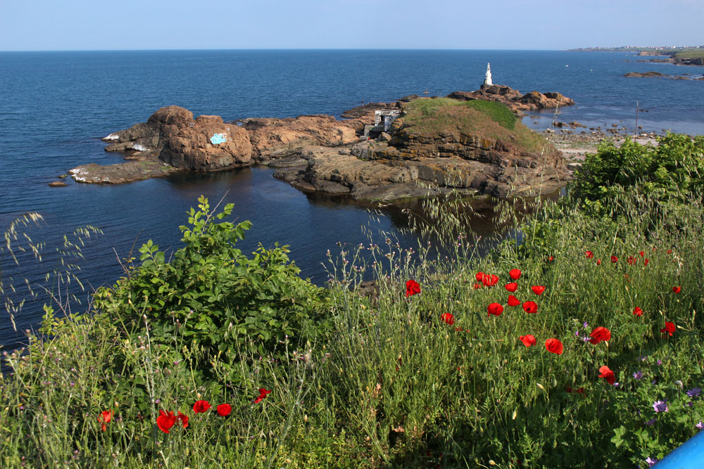
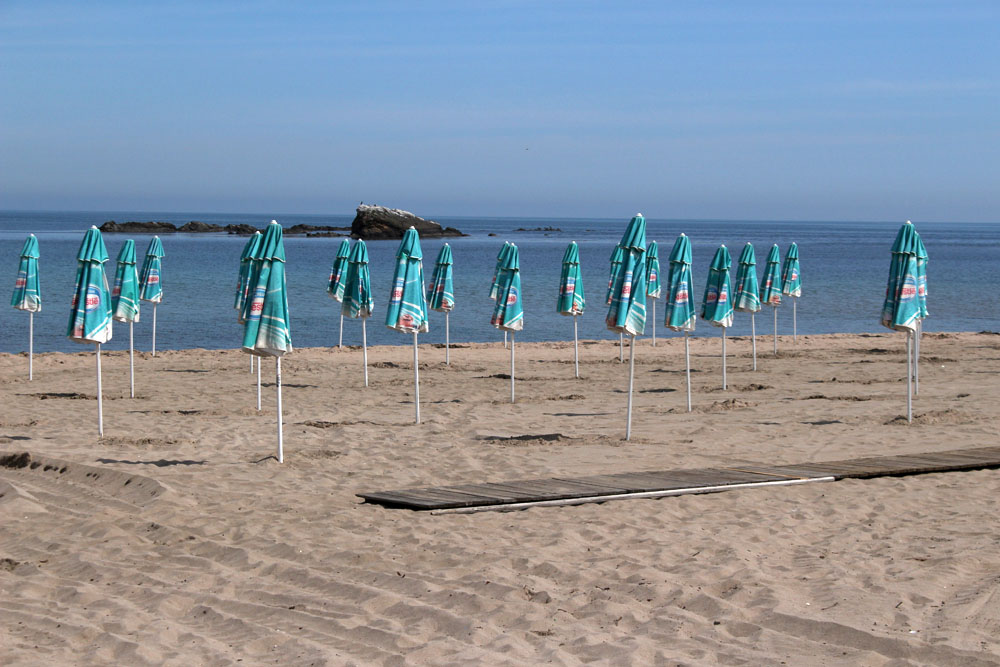
Mercifully, I finally managed to escape the rain on the Black Sea coast. I took a minibus to Ahtopol, the most southerly town on the Bulgarian littoral. By my reckoning this would be about as far away as possible from the concrete over-development that plagues much of the coastline. Ahtopol turned out to be refreshingly low-key: a quiet resort that still possessed a modest fishing fleet and a measure of unspoiled charm. Although summer had arrived the town was still locked in preseason inertia. The town’s beaches were virtually deserted, serried ranks of sunshades still unfurled. The sky – at long last – was blue, as was the water (not black at all). Tiny boats bobbed out to sea on gentle waves. Wild flowers bloomed on the cliff tops. Hyperactive flocks of house martins swooped low along the shore collecting flies to feed their young. In the overgrown scrubby area that led down to the beach, hidden nightingales sang, their joyous bubbling out-competing the construction noise of  workmen trying to coax a new-build hotel into service for the season.

I had a couple of days before my flight home and so made the most of this long-awaited clement weather. Even so, I scanned every passing cloud, even the most flimsy and innocent-looking, for any sign of rain to come.

IMG_6009

(Thirty-)Six Views of Bass Rock

IMG_1638

It is just the one crag of rock, as everybody knows, but great enough to carve a city from.

Robert Louis Stevenson Catriona

Japan’s Mount Fuji is a dormant volcano that looks just like a volcano should. An almost perfectly symmetrical, snow-capped cone, its image is deeply embedded in the Japanese psyche. Sacred, beautiful, mysterious, its most iconic representation in art is the Thirty-Six Views of Mount Fuji series painted late in life by the ukiyo-e artist Katsushika Hokusai (1760—1849). Probably the best known of the series is Under the Wave off Kanagawa, which depicts a distant Fuji framed by a terrifying tsunami wave. My own favourite is no. 33 Fine Wind, Clear Morning, which shows Fuji’s cone rendered deep crimson by the rising sun. Featuring delicate cirrus clouds against a blue sky and iconic sun-lit mountain, its aesthetic simplicity ticks all the essential boxes of classic Japanese woodblock art.

1024px-Red_Fuji_southern_wind_clear_morning

In the United Kingdom, a long way from the tectonic frontline of the Pacific’s Ring of Fire, our volcanoes are of a more ancient vintage. Not so much dormant as comatose, long inactive through an aeon-slow unfolding of geological time, all that we have are fossilised remnants of our islands’ distant fire-spewing past. In Scotland, Arthur’s Seat just outside Edinburgh is one such example, as is the rock upon which Edinburgh Castle sits — both volcanic remnants from the Carboniferous period that gripped the Earth over 330 million years ago. Further east, close to the mouth of the Firth of Forth, the island of Bass Rock, located about two kilometres offshore, is of similar pedigree. An igneous volcanic plug created when magma hardened within the vent of an active volcano, the surrounding rock eventually eroded to expose the plug and leave an upstanding landform that rises 100 metres above the water it finds itself in today.

IMG_1647

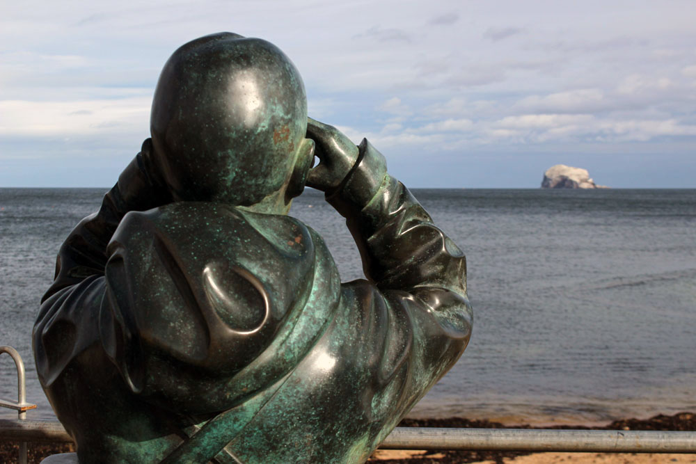
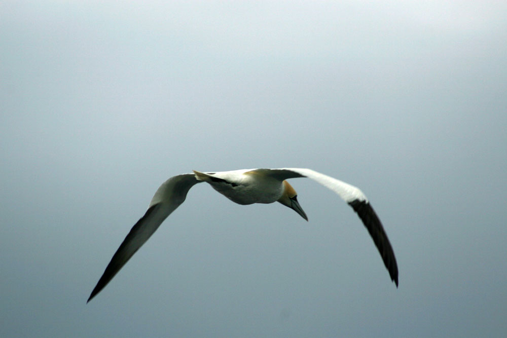
Bass Rock is probably better known for its bird life than its geology. Northern Gannets nest here in enormous numbers — something in the order of 150,000, making the rock the largest colony of the seabird in the world. The gannets are not permanently resident but leave the rock after breeding each year, migrating their way south for the winter. They were still present when we viewed the rock from the East Lothian shore at Tantallon Castle in October, a small number of the birds straying from the security of the rock to fish close to the shore.

IMG_1658

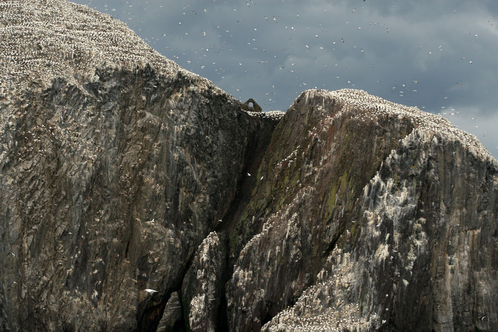
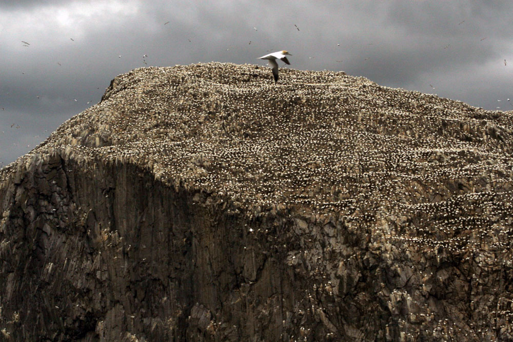
We had seen Bass Rock from a much closer viewpoint six years previous when we had sailed past it on a boat. It was June then, the height of the breeding season, and the birds seemed to fill the sky above the guano-washed rock, crisscrossing haphazardly above our heads before peeling off to plunge vertically at great speed into the sea in pursuit of fish. On that occasion we were able to smell the colony long before we arrived – an ammoniacal stench so strong that you could almost see its vapour shimmer skywards. Our boat drew close enough to the rock to be able to identify the individual nests of birds, and we could also make out the ruin of St Baldred’s Chapel atop the rock – not the most obvious place for a retreat into the spiritual life given the omnipresence of eye-watering guano deposited by the  rock’s hyperactive tenants.

IMG_2113

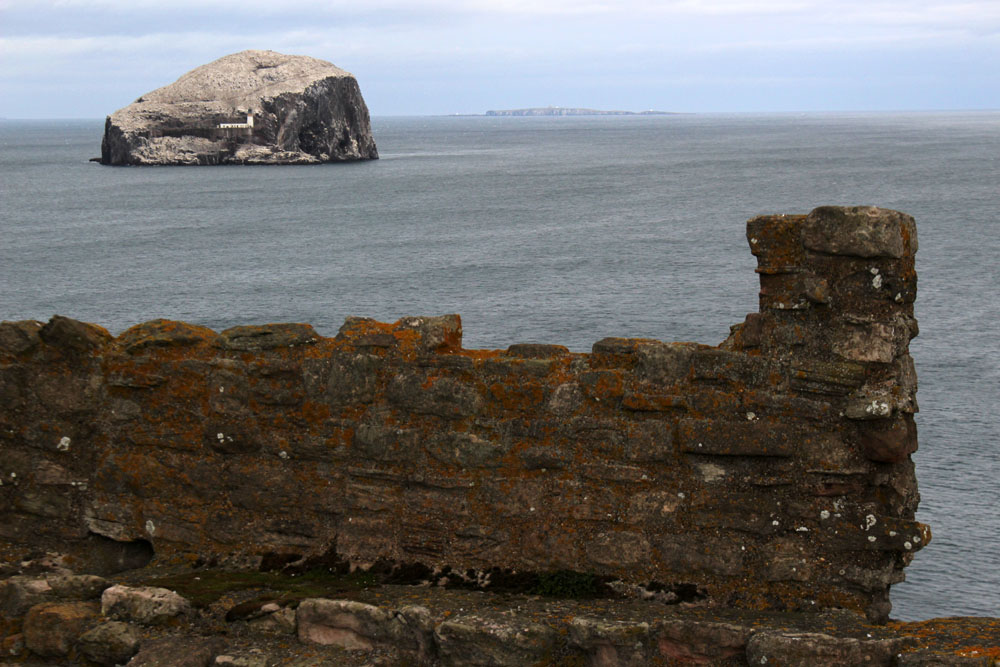
Even from the more distant viewpoint of the shore we could discern the rock’s landing places, a fragment of the old castle remains and the white lighthouse, designed by Robert Louis Stevenson’s cousin, David. Although there was nothing to be seen now, there was also once a gaol here. James I incarcerated a number of political enemies here in the 15th century, and two centuries later religious prisoners, Presbyterian Covenanters mostly, were also held on this island prison.

IMG_2129

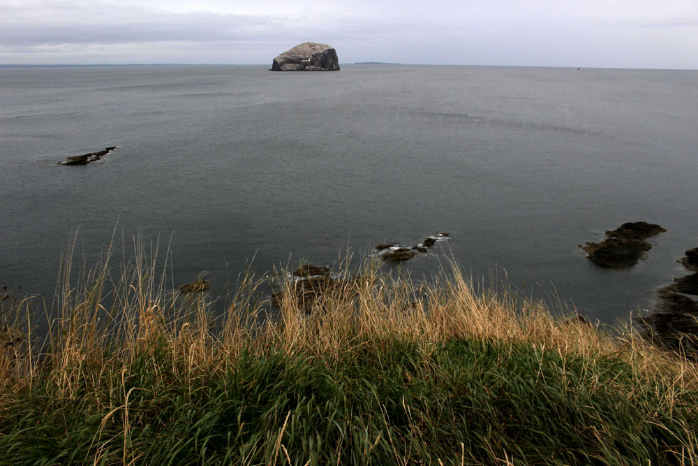
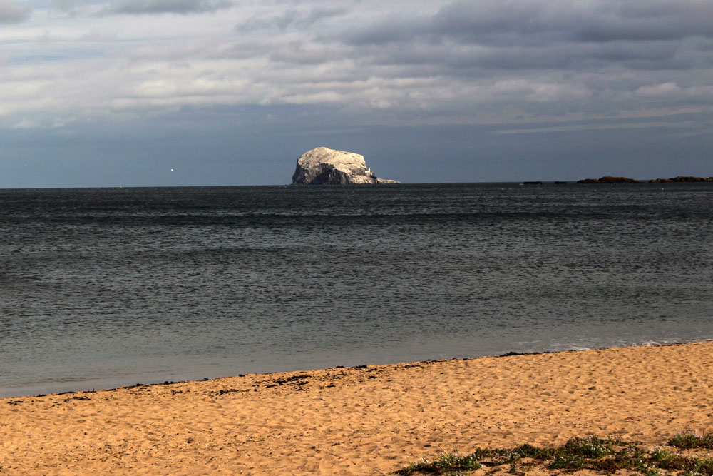
Comparisons between Mount Fuji and Bass Rock are, of course, futile. But there is at least some commonality: both are/were volcanoes; both are capped with white. Hokusai famously produced 36 different views of his beloved mountain, each work unique in terms of distance, viewpoint and time of year. I can only offer something far more modest. Here then, are six views of Bass Rock, taken either in June or October, from shoreline (Tantallon Castle and North Berwick) and from sea.

IMG_1662

IMG_2090