Lake Baikal

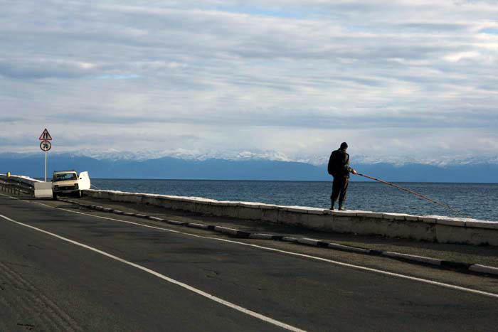
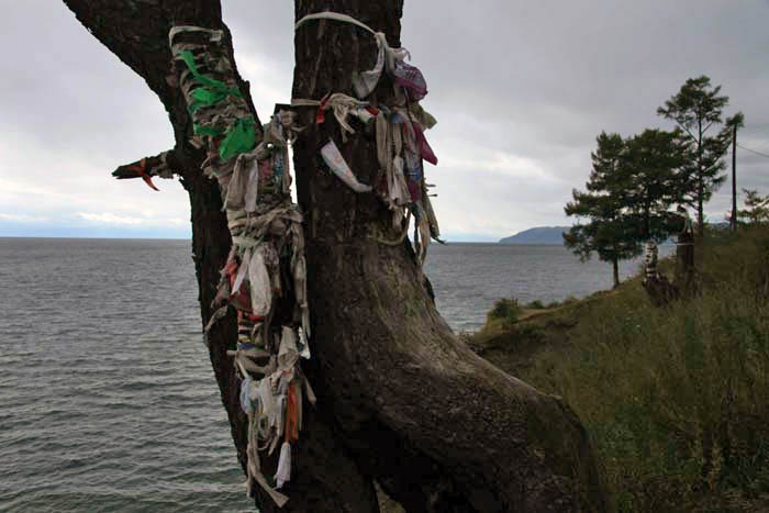
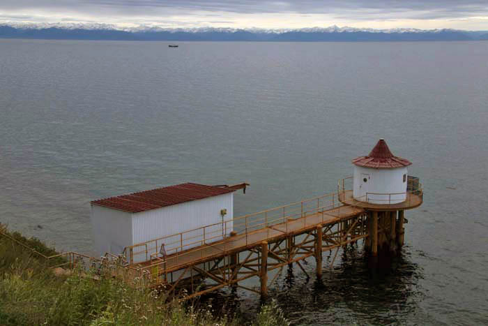
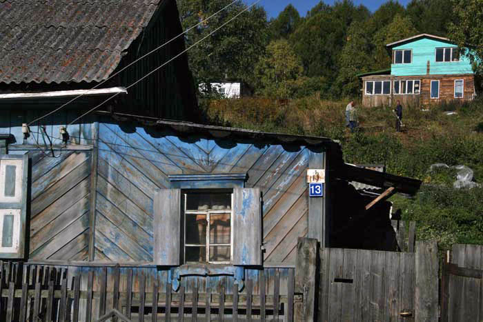
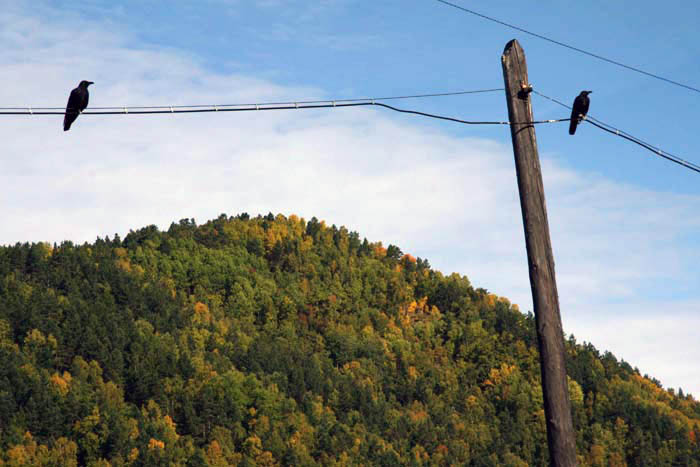
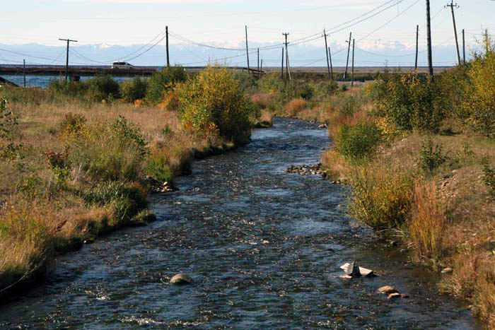
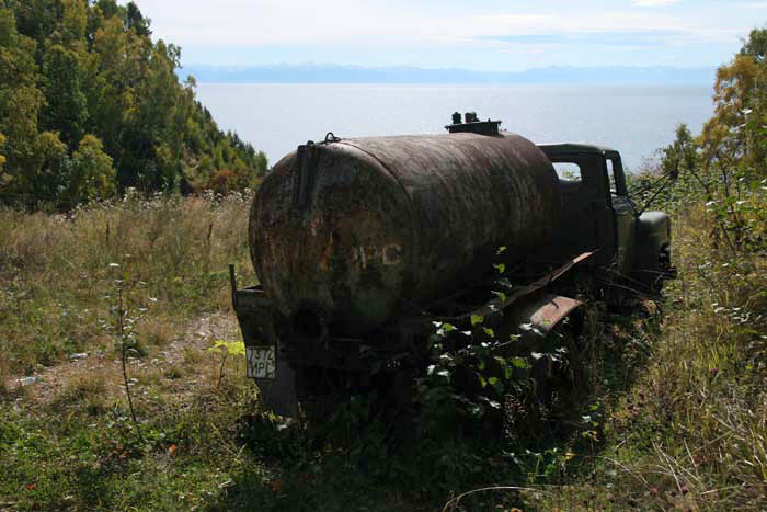
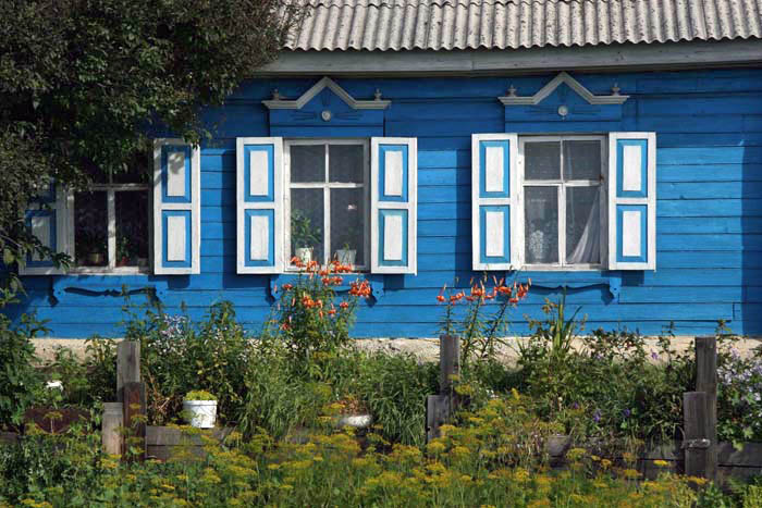
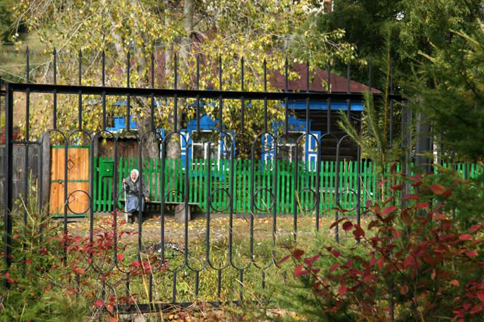
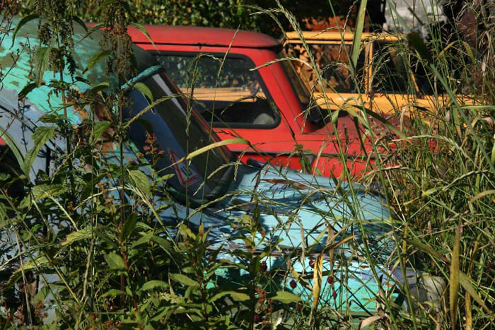
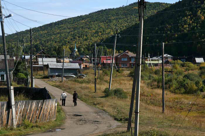
Listvankya on the northern shore of Lake Baikal in east Siberia is a small fishing village and port that also serves as a holiday destination for Russians in the short Siberian summer. By late September summer is definitely over and there was a melancholy end-of-season feel about the place when I visited in 2010. It was also surprisingly cold and the fact that Lake Baikal freezes so solidly in winter that you can drive trucks over it seemed perfectly believable.

This was the furthest east I got on that trip, having arrived in the nearby city of Irkutsk on the Trans-Siberian railway from Moscow. The Russian tourists had all left Listvyanka by the time I arrived and apart from a few fishermen, a handful of locals and a large population of ravens I had the place very much to myself.

Gloomy Sunday

It is Sunday in Edinburgh and the city streets are filled with Frenchmen in blue shirts and black berets all come for the Six Nations rugby match against Scotland at Murrayfield stadium. Preferring the game that favours a more spherical ball it seems like a good opportunity to take the train to Glasgow for the day.

The previous day, on our mentioning Scotland’s largest city, Colin, our bed and breakfast host, remarked, “Well, I’m Edinburgh man so I’m biased but I think Glasgow makes the most of what it’s got to be fair.” It is no secret – Edinburgh and Glasgow may be less than 50 miles apart – one hour on the train – but there is a cultural gulf between the two cities. Or so they would have you believe: rough, working class Glasgow versus genteel, middle-class Edinburgh; Billy Connolly versus Miss Jean Brodie; deep-fried pizza versus herb-infused foccacio. This is, of course, a misleading generalisation but it cannot be denied that the two cities do have a markedly different feel. Edinburgh is no longer ‘Auld Reekie’ but a stylish European capital with a beautiful skyline. Glasgow, on the other hand, remains a Victorian city par excellence – famously, the second city of the British Empire. While Edinburgh seems to thrive on its glorious past and embody the spirit of the Georgian Enlightenment, Glasgow, like Manchester and Sheffield over the border in England, is a place in post-industrial transition, a city trying to find its rightful place in the 21st century. Despite its City of Culture makeover a decade or so ago, Glasgow still manages to look a bit threadbare around the edges in a way that central Edinburgh does not. This is only part of the picture though – take a bus out to one of the outlying ‘schemes’ in either metropolis and peripheral Edinburgh looks every bit as unattractive and dysfunctional as the wastelands of outer Glasgow.

In Glasgow, the Willow Tearooms still operates in the city centre, a working shrine to the distinctive secessionist style of Charles Rennie Mackintosh, one of the city’s most famous sons. The Glasgow School of Art designed by Mackintosh when he worked as an architect in the city lies just around the corner. The ‘Room de Luxe’ at the top of the stairs is a delight – elegant high-backed chairs, roses in vases and a view through stained glass windows down onto Sauchiehall Street below.  The window glass (original we are told) distorts a little, affording a slightly twisted view of a boarded-up Pound-Mart store opposite, humdrum 1960s and peeling paint. A solitary busker, clearly audible from the tearoom, plays the trumpet to passers-by, belting out jazz standards like Summertime in fast rotation. But summertime it is not – the day is dreich and chilly, the sky the colour of cold porridge – Gloomy Sunday might be a more apposite choice.

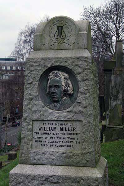
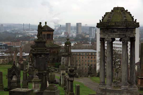
A mile or so to the east, beyond Queen Street Station and George Square with its Modern Art Gallery, St Mungo’s Cathedral sits next door to the Royal Infirmary, a proximity that is surely no mere coincidence. Beyond the dark glowering sandstone of the cathedral and across a footbridge (‘the Bridge of Sighs’ utilised by funeral processions) lies the Necropolis – Glasgow’s city of the dead. The most obvious monument, looming high on a Doric column at the top of the hill is a memorial to John Knox, the Protestant reformer but the first that we pass on the winding road uphill is a monument to William Miller, ‘The Laureate of the Nursery’ responsible for the children’s nursery rhyme Wee Willie Winkie, which was originally written in Scots:

Wee Willie Winkie rins through the toon,
Upstairs and doonstairs, in his nichtgoon,
Tirlin’ at the window, cryin’ at the lock,
“Are the weans in their bed? For it’s now ten o’clock.”

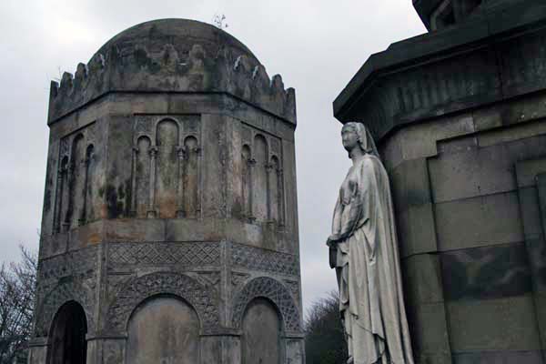
We climb the path to the top. Low cloud has drained all colour from the view apart from that of the glowing rust brown of the neo-Norman Monteath mausoleum, which brings to mind an Armenian church but was apparently modelled on the Knights Templar Church of the Holy Sepulchre in Jerusalem. Further up, the William Rae Wilson mausoleum is decidedly Moorish, a fitting monument to someone who travelled and wrote about the Middle East. Next to this, the entrance of the Graeco-Egyptian mausoleum of John Houldsworth is flanked by stern white angels, Hope and Charity, while Faith lies within glowing almost praternaturally in the gloom.

The view is the thing here. From the vantage point of the Necropolis it is easier to grasp the scale of Scotland’s largest city, even on a dull day such as this. The concrete, brick and stone of the city centre sprawls to the west beyond St Mungo’s spire and buttresses. Elsewhere, the land dips and rises gently to trace the valleys of Glasgow’s rivers, the Clyde and Kelvin. High-rise housing schemes dot the horizon east and north, an architectural echo of the serried ranks of tombs that line the Necropolis thoroughfares – a world of folk that once belonged to Glasgow’s inner city but now find themselves detached and isolated. If you believe the clichéd image, a realm of ne’er do wells – bampots, malkies, and chiv-wielding neds – but also pensioners, terminally unemployed steel workers, young single mothers and beleaguered immigrants. Whatever the reality, it is a long way from the fancy designs of Charles Rennie Mackintosh and certainly no place for Wee Willie to wander alone at night.

Heading back to Edinburgh our train squeezes past another returning to Glasgow at Croy station. Not quite as crowded as those we saw heading for Edinburgh on the way there, its carriages are full of middle-aged men in kilts and Scotland rugby shirts. They look somewhat subdued – clearly Scotland has lost the rugby.

Suffolk Coast Walks

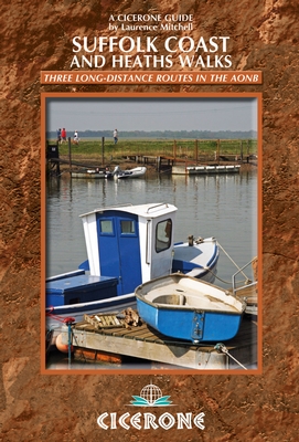
If I might be allowed a little shameless self-publicity, my new book Suffolk Coast and Heaths Walks: Three Long-distance Routes in the AONB is published today by Cicerone. A bit of a  mouthful, I know – let’s just call it ‘Suffolk Coast Walks’ for the sake of brevity.

The book gives a detailed account of all three long-distance trails within the Suffolk Coast and Heaths AONB (Area of Outstanding Natural Beauty). All three routes make for excellent walking, either in their entirety or as selected day stages.

OS map extracts for the various stages are included and the book also has considerable background information outlining the history, geography and wildlife of this attractive region.

It is lavishly illustrated too, with photographs taken by yours truly (the cover shows the River Blyth at Southwold).

For a look inside the book, a sample chapter and downloadable PDF file you can visit the Cicerone website here. It is also on Amazon.co.uk here.

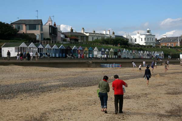
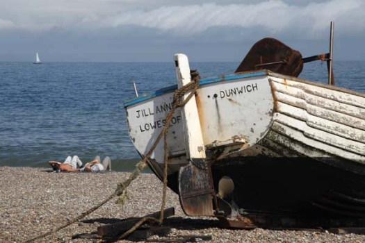
Here’s a brief sample from the introduction and a few images from the book.
Introduction

The sky seems enormous here, especially on a bright early summer’s day, and the sea beyond the shingle almost endless. Apart from the gleeful cries of children playing on the beach, the aural landscape is one of soughing waves and the gentle scrape of stones, a few mewing gulls and the piping of oystercatchers. Less than a mile inland, both scenery and soundscape are markedly different – vast expanses of heather, warbling blackcaps in the bushes, and a skylark clattering on high; the warm air is redolent with the almond scent of yellow gorse that seems to be everywhere. This is the Suffolk coast, and it seems hard to imagine that somewhere quite so tranquil is just a couple of hours’ drive away from London.
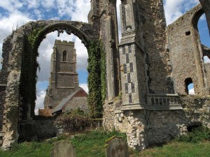
The big skies, clean air and wide open scenery of the Suffolk coast has long attracted visitors – holiday makers certainly, but also writers, artists and musicians. The Suffolk coast’s association with the creative arts is longstanding, and its attraction is immediately obvious – close enough to the urban centres of southern England for a relatively easy commute, yet with sufficient unspoiled backwater charm for creativity to flourish.

It is not hard to see the appeal – east of the A12, the trunk road that more or less carves off this section of the East Anglian coast, there is a distinct impression that many of the excesses of modern life have passed the region by. The small towns and villages that punctuate the coastline and immediate hinterland are by and large quiet, unspoiled places that, while developed as low-key resorts in recent years, still reflect the maritime heritage for which this coast was famous before coastal erosion took its toll.
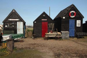
The county of Suffolk lies at the heart of East Anglia, in eastern England, sandwiched between the counties of Norfolk to the north, Essex to the south and Cambridgeshire to the west. The county town is Ipswich, by far the biggest urban centre in the county, while other important centres include Bury St Edmunds to the west and Lowestoft to the north. Much of the county is dominated by agriculture, especially arable farming, but the coastal region featured in this book has a wider diversity of scenery – with reedbeds, heath, saltmarsh, shingle beaches, estuaries and even cliffs all contributing to the variety. There is also woodland, both remnants of ancient deciduous forests and large modern plantations. Such a variety of landscapes means a wealth of wildlife habitat, and so it is little wonder that the area is home to many scarce species of bird, plant and insect.

This region can be broadly divided into three types of landscape – coast, estuary and heathland, or Sandlings as they are locally known – and the three long-distance walks described in this guide are each focused on one of these landscape types.  All three have plenty to offer visitors in terms of scenery, wildlife and historic interest, and the footpaths, bridleways and quiet lanes found here make for excellent walking.
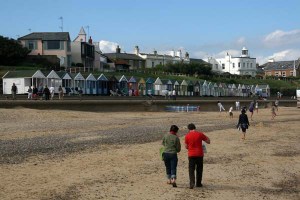
Almost all of the walks featured here fall within the boundaries of the Suffolk Coast and Heaths Area of Outstanding Natural Beauty (AONB), which stretches south from Kessingland in the north of the county to the Stour estuary in the south. The whole area – both coast and heaths – is now one of 47 Areas of Outstanding Natural Beauty in England, Wales and Northern Ireland, having received AONB status in 1970, a designation that recognises, and protects, the area’s unique landscape.
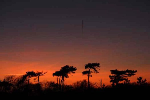
Pink

I  will let the pictures do most of the talking in this post.

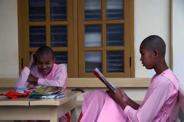
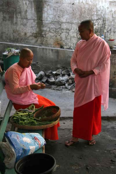
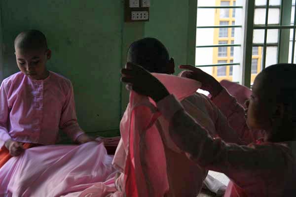
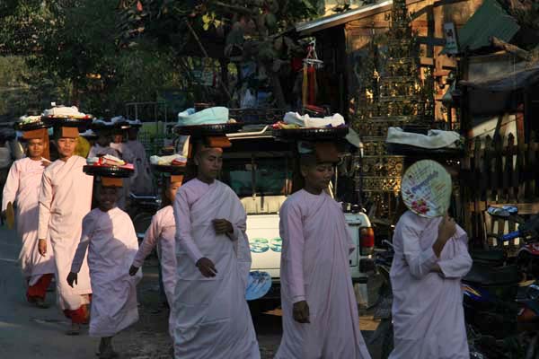
Buddhist nuns in Myanmar always dress in a fetching pink colour. A nun’s life is tough but they seem cheerful enough, collecting alms in the market, studying Pali sutras or sorting out clothes at the nunnery. The commitment is actually finite, as most Burmese girls only join the nunnery for a period of a few weeks at a time.

As with Burmese boys, time spent in monasteries is viewed as a right of passage and it is considered an honour for the family to have their child wear robes for even a short period. Naturally, it brings good karma too.

Young nuns at Mingun nunnery and at Amarapura market, Myanmar

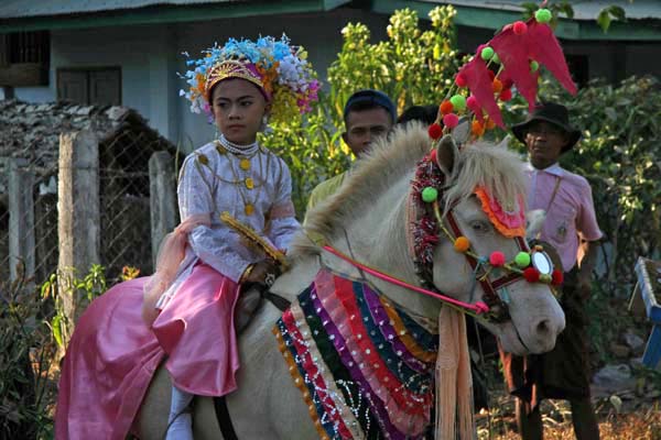
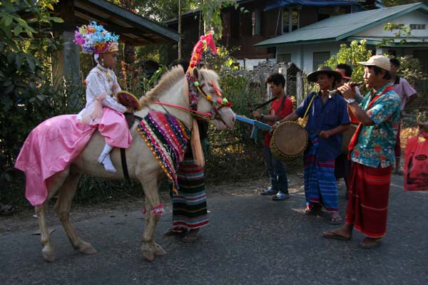
The character below is actually a boy, despite the makeup and pink get-up. He is on his way to a monastery to become a monk for a few weeks. The boy is accompanied by villagers who sing stirring valedictory songs to him as he rides along on his pony. Most of the village seems to go along for the ride – it is a party atmosphere and drink (palm toddy perhaps) has certainly been taken by some of the happy entourage. Remarkable as it may seem, this is the sort of chance event that you stumble upon every day of the week in Myanmar.

Young novice processing to Buddhist monastery near Hpa-an, Myanmar

The Road to Moulmein

‘By the old Moulmein pagoda lookin’ lazy at the sea

There’s a Burma girl a-settin’ and I know she thinks o’ me’

These words by Rudyard Kipling form the opening lines of the Road to Mandalay, an evocative poem that manages to capture the mysterious spirit of the East as seen through Western eyes. The work holds such an important place in the colonial canon that it comes as a surprise to discover that Kipling only spent a total of three days in Burma (now known as Myanmar). What is more, he never actually set foot in Mandalay itself. He did, however, briefly visit the southern coastal city of Moulmein (now known as Mawlamyine or Mawlamyaing) and it was the sight of a beautiful Burmese girl climbing the hill on her way to the city’s Kyaikthanlan Paya pagoda that inspired Kipling’s muse in this instance.

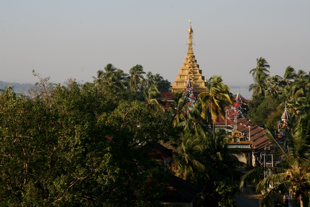
Kyaikthanlan Paya is the most prominent of a number of glistening Buddhist stupas that line the high ridge bisecting the city. Having arrived in Moulmein by means of a nine-hour train journey from Yangon in which the buckled rails made us bounce in our seats like cantering equestrians, a leg stretch seemed in order and there was just enough time to pay a visit to the pagoda before darkness fell. As things turned out I did not walk all the way up to the top as halfway up to the temple complex an elderly gentleman stopped to offer me a pillion ride on his motorbike. Such events are not out of the ordinary in Myanmar; after just a couple of days in the country I was already aware that thoughtful yet undemonstrative gestures like this were commonplace.

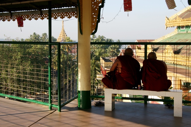
Watching the sun set over the sea from the viewpoint beneath the temple I met another old man who seemed delighted when I told him I was English. I am not sure if this was because he simply approved of my nationality or whether he was just pleased to have the opportunity to use the English he had learned long ago in school. Either way, the warmth seemed entirely genuine. ”It is a pleasure to see you here. I do hope we can meet here again”. (We did, the following day).

As previously mentioned, Kipling did not spend long in Moulmein – just enough time to pen his famous poem and take a fancy to a local beauty. The novelist George Orwell, on the other hand, had a far stronger relationship with the city. Orwell’s mother’s family came from Moulmein and it was also here that he underwent training with the Burma Police Force. This and subsequent Burmese experience would provide raw material for Burmese Days, his first novel and a damning account of British colonial life in which most of the colonial characters seems to be alcoholic, racist or both.

Moulmein also provides the background for Orwell’s 1936 memoir Shooting an Elephant, a work that opens with the arresting line:

‘In Moulmein, in Lower Burma I was hated by large numbers of people – the only time in my life that I have been important enough for this to happen to me.’

Wat Phou

Get there early – this is the sound advice usually given when visiting popular tourist sites. This is exactly what I did in Siem Reap, Cambodia when visiting Angkor Wat a week or so ago but it seems like several thousand others also had the same idea. As I tuk-tuked my way into the vast ancient complex the site was already crawling with a vast number of hot and sweaty camera-clicking visitors – mostly large tour groups obediently following their guides over the stones like human snakes. All I could do was join them in the fray.

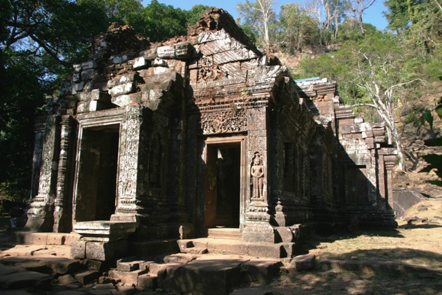
Wat Phou in southern Laos is another ancient Khmer site. While it may not have the enigmatic stone faces of Angkor Tom’s Bayon, or be as enormous in scale, it makes up for it with a gorgeous hillside location close to the Mekong River -that, and a lack of crowds.

A couple of days ago, I got up at sunrise – it is difficult to sleep late in steamy, low-lying Laos. After a quick breakfast watching the sun lift over the Mekong, I hired a bike – a much-abused machine that misleadingly bore the name ‘Turbo’ – to cycle the 10km to the site. Forty-five minutes later, I arrived at the entrance to Wat Phou on my squeaky ‘ladies’ shopper’. The dusty road that lead there was the sort of terrain that most cyclists would probably consider ‘off-road’ – but it was an interesting pedal alongside dry paddy fields and through tiny villages where the day was just starting as people burned joss sticks and prayed in front of the bird table-like spirit house that stands in front of every house, however modest, in the country.

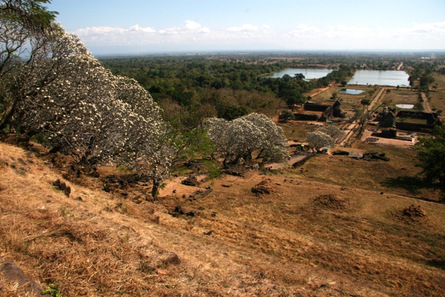
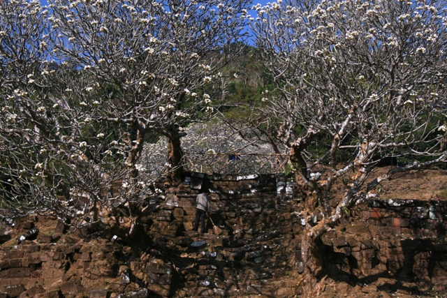
A processional way leads through the Wat Phou temple complex, passing between large baray or ceremonial ponds before climbing steps steeply up the hillside up to the sanctuary itself. The steps were lined with flowering frangipani trees so voluptuously aromatic that you could almost eat the air with a spoon. Pleasingly – or should I say, smugly – I seemed to be the first to arrive. First, apart from a few locals who were setting up their pitches at the top selling shrine offerings and soft drinks. With the place to myself, I made a leisurely tour of the sanctuary, originally Hindu, now Buddhist, seeking out the sacred Shiva spring, the rock-carved elephant and crocodile, and the library. I never did find the Buddha’s footprint but it was a pleasure to survey the shimmering plains below from this breezy elevated viewpoint beneath the deep shade of mango trees.

Eventually, a few others arrived – a friendly Lao-American family, a couple from Manchester who were staying at my guesthouse. Later still a few small tour groups turned up, French and German mostly. Even then it was hardly the circus that Angkor Wat seems to have become these days. Wat Phou may not be ‘undiscovered’ but it is certainly very low-key when compared to its sister site to the south in Cambodia. And let us not forget, Wat Phou is also the older of the two.

Mekong musings

This post comes from somewhere firmly east of Elveden – from Southeast Asia or, more precisely, the deep south of Laos.

Last week was spent travelling along the Mekong River from Ho Chi Minh City, Vietnam north into Cambodia. Then, courtesy of Lao Air, a quick crossborder turboprop hop from Siem Reap to Pakse in southern Laos.

Angkor Wat near Siem Reap was, of course, astounding but the vast crowds and grey-skied humidity were debilitating and within a few hours I found myself to be in that state universally known as ‘templed-out’. Angkor Wat, Angkor Tom and the other religious sites around Siem Reap are by far the country’s biggest draw but elsewhere Cambodia is a poor and savagely scarred place. Quite understandably, almost everyone over the age of 40 seems to have a haunted look, although these survivors of the Khymer Rouge period will tell you that contemporary Cambodian youth simply doesn’t want to know about the horrors of the past. The dreaded Killing Fields just outside Phnom Penh and the city’s infamous S-21 prison are just as bad as you might imagine – even worse perhaps. The continuing tragedy is the fact that several erstwhile senior Khymer Rouge officials still hold high-ranking government posts. These are the ones that parade around Phnom Penh in black-windowed Lexus, eating at fancy air-conditioned restaurants while the vast majority of the population barely scrapes a living farming rice in the hinterland.

Laos – or rather the People’s Democratic Republic of Laos – feels different. Poor certainly, but seemingly a happier place despite its unenviable reputation as being, in per capita terms, the world’s most heavily bombed country of all time – this, during The Vietnam War (or, as they call it in Vietnam, ‘The American War’).

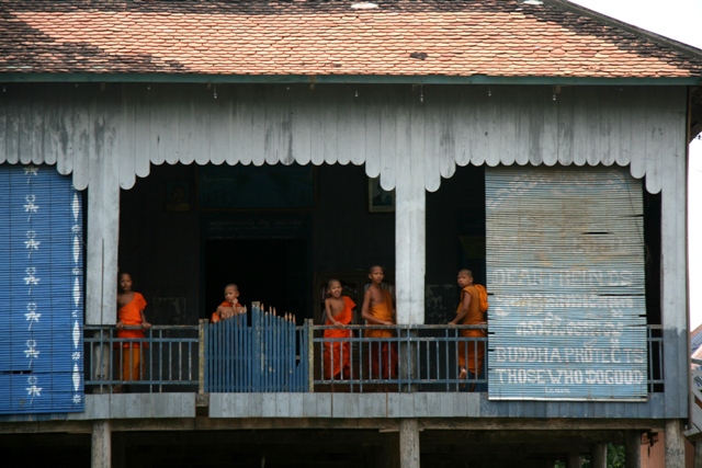
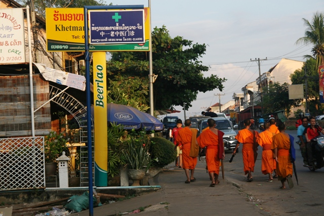
Stopping for a coffee this morning at a place that serves as an outlet for local organic coffee production there was no coffee to be had as the machine had just broken. So I drank tea instead and listened as a table of saffron-clad Buddhist monks start chanting as soon as they had finished their noodle soup. No-one reacted in the slightest: monks are everywhere here; an almost quotidian part of Laotian daily life. In Laos, the future may be orange, but so was the past.

Another ubiquitous sight here is advertising for Beerlao, the nation’s favourite beer.  The beer – pretty tasty by the way – is sold everywhere in no-nonsense 640ml bottles. Everywhere, too, are the yellow signs that advertise the brew, as well as beer mats, table cloths, menu covers, waitresses’ aprons and café clocks. Its cheerful yellow and green logo is so widespread here in Laos that Beerlao appears to fill a semiotic niche even more comprehensively than Coca-Cola manages throughout much of the rest of the developing world. Unusually, signs advertising the familiar fizzy sweet are nowhere to be seen.

As the Hermetic philosophers might say:

As above, so Beerlao.

High Line

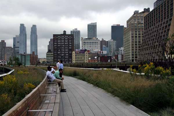
New York City isn’t the sort of place that immediately springs to mind when one thinks of walking but the city is a treasurehouse for urban exploration. Walking – with a little bit of assistance from the city’s comprehensive bus and subway system – is by far the best way to get under the skin of the ‘Big Apple’ and, to squeeze the life out of this hackneyed metaphor, who knows what you might find – pips, juicy flesh,  maybe even a worm or two?Unlike many American cities, where the assumption is that people prefer to move around in noisy mobile metal boxes, New York is a relatively pedestrian-friendly place. For a wholesome, petrochemical-free experience, there’s always Central Park, but for the past year or so there has been another traffic-free route through Manhattan’s West Side that has transformed a pre-exisiting industrial conduit to a green pedestrian byway.

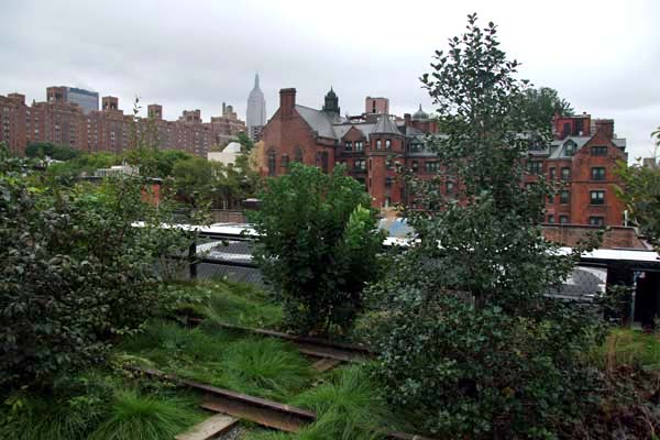
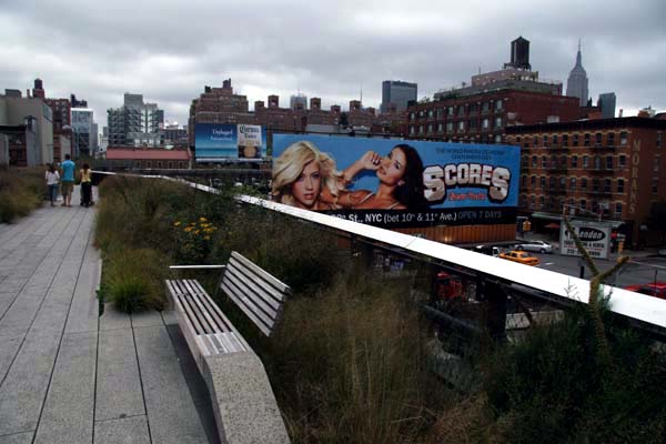
New York’s High Line, a mile and a half of raised walkway above the working class neighbourhoods of the West Side, was once part of an elevated railway that was built in the 1930s to shift goods to and from the slaughterhouses and packing plants of the Meatpacking District around Gansevoort Street. Defunct by the mid 1980s, the rail line has since been lovingly transformed into a fine green artery that links that same meaty neighbourhood with West 34th Street in Hell’s Kitchen to the north. In place of sleepers and railtracks a landscaped walkway now threads along its length, which is lined on both sides by plentiful benches and seating areas, and long leafy borders filled with grasses, perennials and shrubs. To add a bit of glamour, the Empire State Building peeks above the surrounding city roofline at regular intervals as a reminder that Midtown’s architectural bling is really not so far away.

The real beauty of the High Line is that it does not really have any specific sight to see at either end – the Meatpacking District was never a big tourist draw, although the neighbourhood is currently on the up and being gentrified faster than you can say ‘sushi bar’. Sometime in the future there will be a new American art museum built at Gansevoort Street but, for the time being, rather than any particular goal, the attraction is the High Line itself – the walking of it. What better way to take in the city than to stroll above the streets and buildings where New Yorkers actually work and play out their lives?

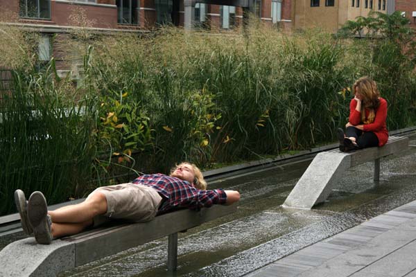
Technically speaking, the High Line is an urban park rather than a mere thoroughfare. Its not just for tourists but a place filled with office workers eating sandwiches and  friends taking a stroll together – native New Yorkers looking down on the streets they have known all their lives and seeing them from a fresh perspective. It is also quite remarkably crime-free.

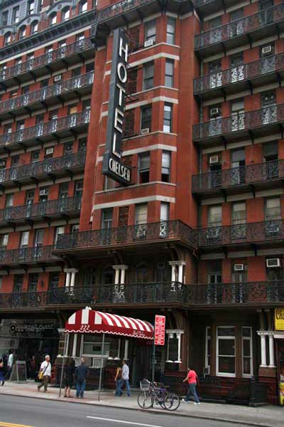
Halfway along, just south of Hell’s Kitchen, the route runs through the West Chelsea district and anyone wishing to pay homage to Sid Vicious or Dylan Thomas (who both died here), or Jack Kerouac, Bob Dylan or Joni Mitchell (who all embraced its muse), could do worse than make a short pilgrimage to visit the famous Chelsea Hotel at West 23rd Street. Sadly, the hotel has recently been bought up by a developer and is no longer open to ‘receive new guests’, so artists, writers and rock stars in search of a creative Bohemian atmosphere or a suitable venue for high-spirited shenannigans are now obliged to look elsewhere.

East of Everett – Riding the Empire Builder

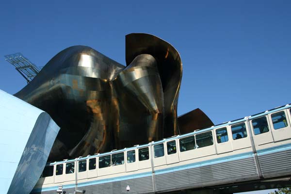
Arriving in Seattle, having spent the last two weeks on a small boat, it was time to make use of other forms of transport to get home. Flying all the way Seattle-New York-London would have been straightforward enough but after a fortnight at sea where 8-10 knots was routine I was keen to not only feel the earth beneath my feet for awhile but also to continue at a relatively stately pace. So I opted for the train: first to Chicago, then to New York City from where I would, begrudgingly but inevitably, finally take to the air to cross the Atlantic. By way of a prelude to all this cross-continental railroading I made use of the few hours I had in the city by taking the Seattle Centre Monorail to visit the Space Needle – an all-too-short run across the city centre that actually passes through the multi-coloured sheet metal flanks of Frank Gehry’s Experience Music Project Museum before arriving at its terminus.

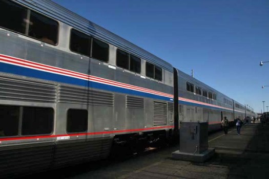
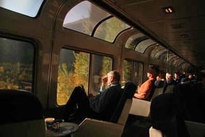
Amtrak‘s Chicago-bound Empire Builder leaves every afternoon from Seattle, taking around 46 hours – the best part of two days and nights – to reach the windy city on Lake Michigan’s shore. A parallel service runs from Portland in Oregon and both trains join up in the middle of the night at Spokane, Washington. On my first evening on the train I decided to head for the dining car just after passing through Everett, Washington. Here, I met up with Anne (Amtrak waiters insist on grouping solo travellers together at tables – dining on a train in the US is a sociable event whether you like it or not), a grandmother from Seattle on her way to visit various offspring way out east. Travelling in the United States, instant life stories and the brandishing of family photographs to total strangers are pretty much the norm and a shared meal is viewed as a welcome opportunity to make new friends. Anne was no exception. We were all friends here on the train – relaxed friendliness being the default setting of any sort of public transport in the USA. As our conductor would announce later on that night, “Ladies and gentlemen please ensure that you have not put your belongings on the neighbouring seat. We are expecting quite a few travellers to get on at Leavenworth and so you will probably have a new friend joining you when we get there. Let’s make them feel welcome.”

No-one came to sit next to me at Leavenworth but at Wenatchee an hour or so later I was joined by an elderly man called Dale who had just come from a week-long Lutheran Church retreat in the wilds of Washington State. “I see we’ve got us a groaner here”, were his first words to me as he wearily slumped down alongside, throwing a casual nod at the source of the shrill metallic wail that was emanating from the carriage wheels beneath us and had been doing so intermittently since leaving Seattle several hours earlier. Lean and bearded with plaid shirt and baseball cap, Dale might have looked like a typical retired Mid West farmer but was, in fact, a lay preacher in the no-nonsense undemonstrative Lutheran tradition. Despite an outward appearance that might give the impression of being a little ‘ornery’ Dale was the gentlest of men, with a playful, twinkly charm and a thoughtful, considered take on the world. We got talking about Alaska. He had spent a year there as a preacher on an isolated island close to the Arctic Circle just 40 miles from Russia (“And I mean 40 miles, not like that fool idea that that Sarah Palin woman had that she could see Russia from her house in Wasilla”). Dale’s northern sojourn had given him the greatest respect for the native people that endured the difficult living conditions of Alaska’s far north although he acknowledged that there were serious problems of alcohol abuse. “It was supposed to be a dry island but people being people they snuck it in somehow.”
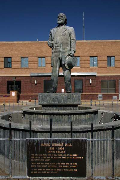
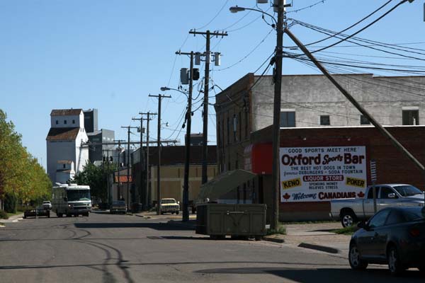
Catching a glimpse of western Montana’s Glacier National Park early the next morning – and adding on an hour as we reached the USA’s Mountain Time zone – the landscape soon settled down to the flat prarieland that we would be passing through for the rest of the day. This was cattle country but the grass looked thin and parched after a hot, dry summer. After Shelby, Montana, we entered cereal-growing territory, with newly harvested wheatfields rolling away to the horizon and tall grain silos by the roadside. Stopping at Havre, there was enough time to stretch our legs on the platform and examine the statue of James J. Hill, the founder of the Empire Builder route, in front of the station. A small group of Amish dressed in 19th-century added a touch of local colour. Amish generally spurn modern technology but are nothing if not pragmatic and for long distances it seems the train is an acceptable alternative to travel by horse and cart. Leaving Havre, we reached Glasgow (Montana, that is) two and a half hours later and passed into North Dakota and the Central Time zone in the early evening. North Dakota looked very much like eastern Montana had done and the view out of the window would not really change that much until we reached the industrial cities of the Great Lakes the following morning.

An entire day spent passing through relentless treeless praries has an unsettling effect. It instills a sense of melacholia. Perhaps it is not so much its appearance but its sheer scale that affects one so: the isolated farming settlements, the unknown family dramas lived out behind closed doors; small lives in a big landscape. It is humbling to think that the pioneer settlers who ventured this way in the 19th century had little idea of what lay beyond the next mile west other than almost inevitable danger of one sort or another.

As a reminder of the early days of this great western migration we stopped at Fargo, Minnesota in the early hours, although most of us were asleep at the time. The city, originally called ‘Centralia’, later became ‘Fargo’ in honor of Northern Pacific Railway director and Wells Fargo Express Company founder William Fargo. The arrival of the Northern Pacific Railroad here bestowed the city with the reputation as ‘Gateway to the West’.

Early next afternoon we shuffled through the endless urban sprawl of Milwaukee. Famous for its brewing industry (inspiring the song, What’s Made Milwaukee Famous Has Made a Loser Out of Me), the city’s huge car parks and warehouses put me in mind of a super-sized Swindon, although to my knowledge no tragic country anthems have ever been written about the Wiltshire town. Two hours later we pulled into Chicago, just twenty minutes behind schedule. Chicago’s Union Station lies in the heart of the city’s downtown district, towered over by some of some of the tallest buildings of the world. After southeast Alaska, where tall buildings and even tall people are scarce, this was the most urban environment imaginable. Quite a stark contrast from the tranquil waters of the Inside Passage I had been sailing through just a few days earlier. There again, so was Seattle.

Blowing bubbles in the Clarence Strait

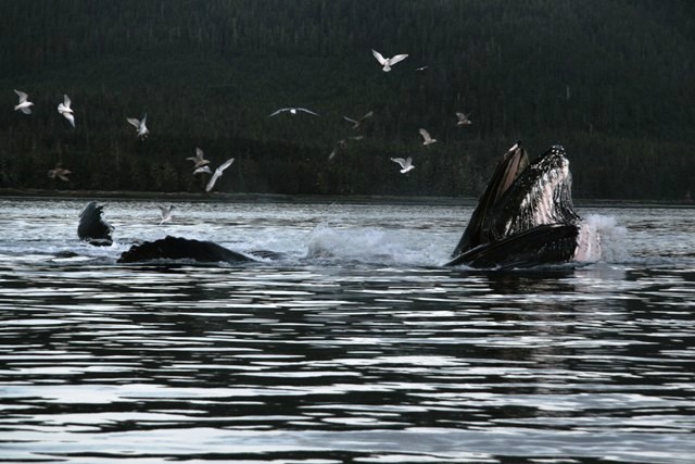
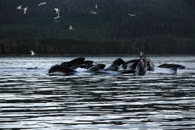
After Petersburg, a squeeze through the self-explanatory Wrangell Narrows took us south into the Clarence Strait, prime hump-backed whale territory. A group of hump-backs were soon spotted off the stern and we took skiffs out for a closer inspection. We had seen a number of them a couple of days earlier in Glacier Bay, but not like this.  Here, a group of ten or more were ‘bubble-netting’ for herring. This rare co-operative feeding behaviour involves a group of whales diving deep and producing bubbles from their blow-holes to create an underwater curtain of bubbles that traps the small fish that the whales feed on. Herrings hate bubbles and will do all they can to avoid passing through them and so what the cunning whales do is  to create a net of them that traps the disoriented fish before they rise en masse to the surface with mouths agape to scoop them up. Gulls – Bonaparte’s Gulls mostly, I think – take advantage too, grabbing those fish that manage to escape the whales’ enormous gaping jaws. In fact, it is excited gulls that tend to give away the location of the any imminent bubble net. It is a magnificent spectacle: ten 50 foot whales all hitting the surface together is an unforgettable, quite humbling sight; a phenomenon that gives new meaning to the term awe-inspiring. In less than an hour, we saw it happen four or five times

Southeast Alaska’s Clarence Strait, west of Prince of Wales Island, is one of the best locations to see this behaviour. Nevertheless, it is still very rare. Karl, our guide, reckoned that of, say, 25,000 hump-backed whales in the North Pacific maybe just 100 practised bubble-netting in groups like this. It has only ever been observed in southeast Alaska. We had just seen 10% of the world’s cetacean elite doing this very thing – a rare privilege indeed.