Last month I posted on hanami in Japan; on how the fleeting beauty of cherry blossom captured the Japanese imagination and seemed to unite the country in an appreciation of the transitory nature of the seasons. I observed that we had no real equivalent in the West but on reflection that statement is not strictly true. In England, Wales and Ireland we have bluebell woods. 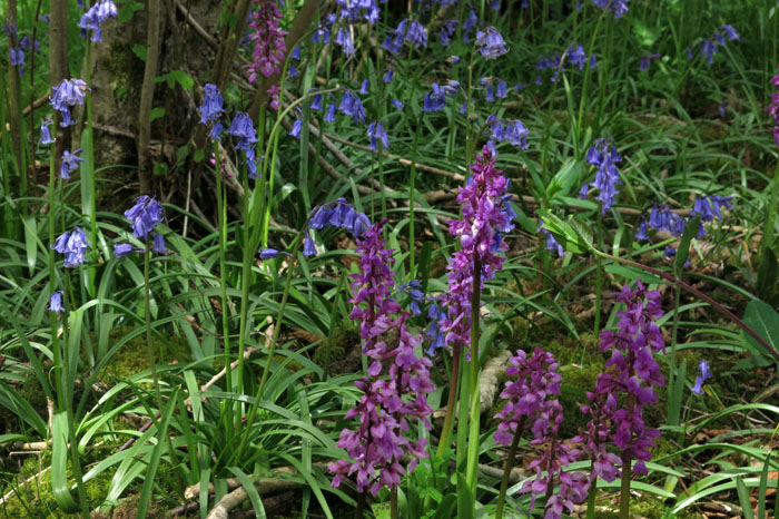
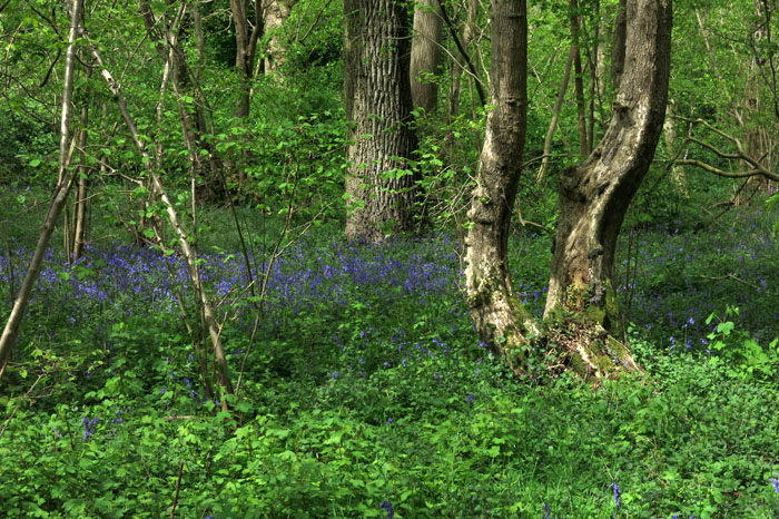
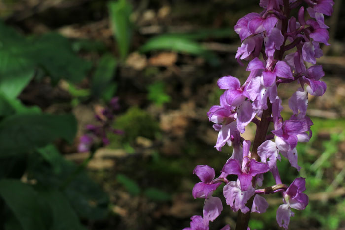
When I say in England, Wales and Ireland I am being necessarily precise. The Bluebells of Scotland celebrated in the popular folk song are actually harebells, a different plant altogether. The thing about bluebells is not the individual plant – lovely though it is – but their mass impression. Carpeting the dappled shade of a woodland floor, the dizzying effect is one of floral synergy – a sparkling wash of violet-blue, redolent of hyacinth (it belongs to same family) but more subtle, more evocative, more wild.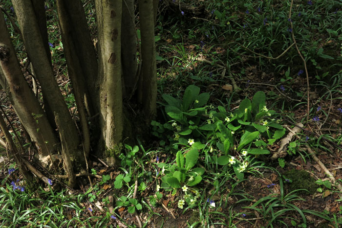
Some of the best bluebell woods can be found in England in tracts of ancient woodland that have stood, little changed, for millennia. I almost added ‘unmolested by man’ to the last sentence but that simply is not true: it is the hand of man that has made such woodland the ideal habitat for species like bluebells (hyacinthoides non-scripta), with management practices like coppicing maintaining woodland as a productive and ecologically diverse resource. Bluebells and other woodland species are, of course, an added bonus. 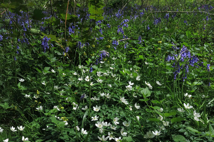
One remarkable stand of ancient woodland can be found in Norfolk on the edge of the Brecks. Wayland Wood is the place upon which the Babes in the Wood legend is based, its name perhaps a corruption of “Wailing Wood” (the fictitious babes appear on the town sign of nearby Watton), but, more likely, the name comes from “Waneland”, a Viking word for a place of worship. Place of worship seems appropriate: in the first week of May the understory of the wood is so covered with bluebells that the effect is one of wading through a fragrant floral lake. Wayland Wood is not a particularly large expanse of woodland – just 34 hectares – and the traffic on the main road that runs alongside its southern fringe is usually just about within earshot. Such a low-level background-level thrum is easily filtered out though, and the sound that predominates is a melodious chorus of robins, blackbirds and warblers that pipe (largely unseen) from the newly unfurled lime-green foliage of the trees.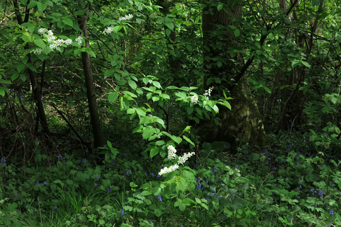
It is hard to say exactly how old Wayland Wood is. It is, as all the best natural phenomena are, recorded in the Domesday Book, and it is probable that the wood was already thousands of years old by the Saxon period. Now it is protected under the auspices of the Norfolk Wildlife Trust, a place where visitors come in early May to appreciate not just the bluebells but the impressive display of early purple orchids, wood anemones, yellow archangel, bugle and primroses. Its trees are magnificent too – coppiced hazel, oak, ash, and field maple, and multi-trunked hornbeam with silver-grey bark like elephant skin.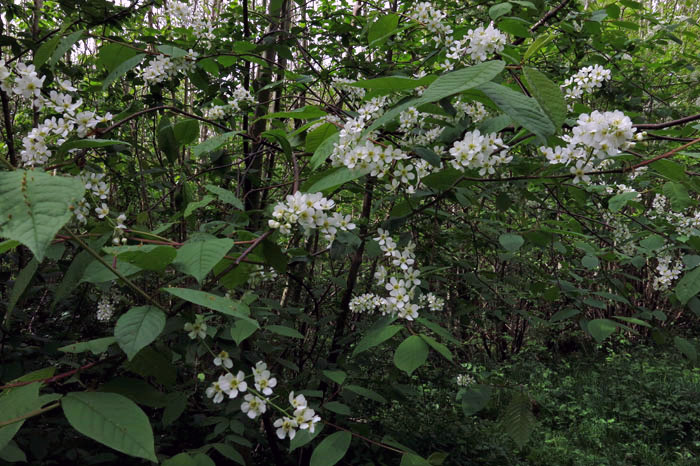
There is cherry too – bird-cherry (Prunus padus), a native British species with frothy white racemes of flowers that dangle over the woodland rides. This perhaps adds a little more weight to a hanami-type comparison. But if truth be told it is the bluebells that people come to see: seasonality, transient beauty, a fleeting flourish of blossom before summer leaf growth closes the woodland canopy. This is our nearest equivalent and, although such events do not attract the crowds of revellers that they do in Japan, it is encouraging to see that there is still some modest interest in such things in these materialistic, post-Utopian times.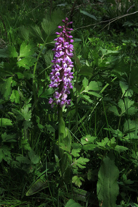


![2029[1]](https://eastofelveden.com/wp-content/uploads/2014/03/20291.jpg)
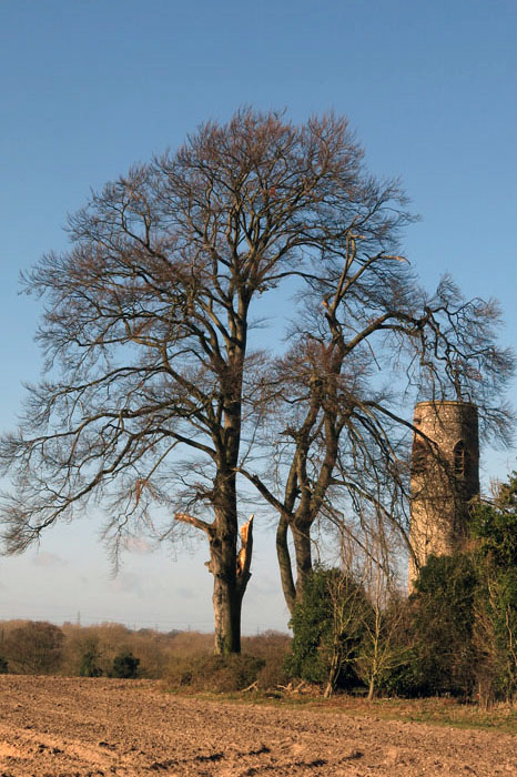
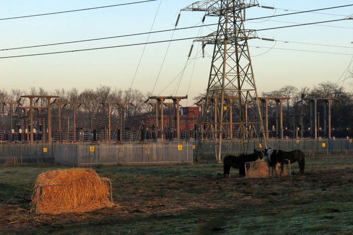
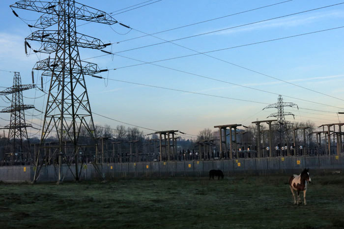
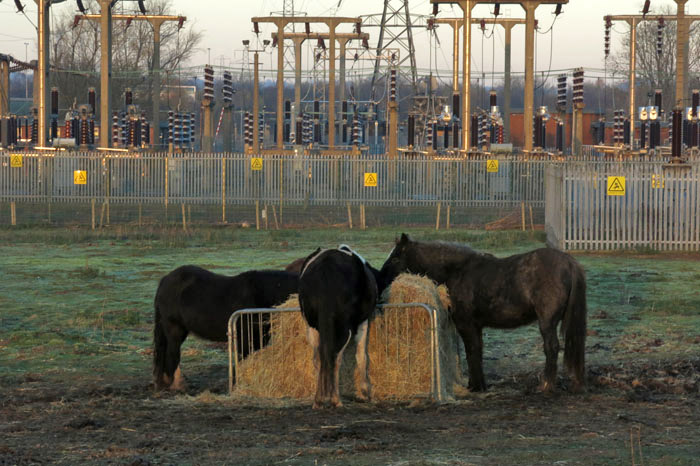
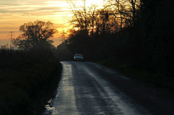
 A little way south of Norwich, standing atop what counts for a hill in these parts, is a tiny roundtower church nestled amidst trees. All Saints Church stands above the small village of Keswick in a crumpled corduroy landscape of wintry ploughed fields. Like most of the territory of this urban fringe, the church lies within the acoustic shadow of the city’s southern bypass and the dull thrum of traffic melds with the chatter of birds in the trees and hedgerows – mostly finches, tits and blackbirds at this time of year. Across the valley, a thread of pylons leads inexorably north towards Norwich where they will deliver electricity to power the city’s PlayStations, fridge-freezers and TiVo boxes.