“a place appointed for worship in the time of heathenism”
Martin Martin A Description of the Western Islands of Scotland circa 1695
Someone once said that the wonder evoked by historical sites is inversely proportional to the number of eyes that have already gazed upon them. ‘Must-see’ tourism and mystery tend to stand in direct opposition. This is partly connected with the familiarity of the site itself — how well we think we already know somewhere from postcards, tourist board propaganda, travel features and social media. The Pyramids at Giza, probably the oldest tourist destination in the world, are a prime example. Magnificent though they may be, there is much at the site to detract from unbiased appreciation: crowds, trinket hawkers, faux guides, camel-hire men, and the very fact that an image of them has been burned into the retina since childhood even if we have never even stepped from these shores.
Similarly Stonehenge, England’s prime sacred site, which is of even greater antiquity and in many ways even more mysterious than the Egyptian pyramids in terms of function. In recent years, for perfectly understandable reasons, the monument has been sanitised and practically cling-film-wrapped by its guardians at English Heritage. New Age travellers, modern-day druids and miscellaneous stone-huggers are kept well away if at all possible, while the sightseeing general public is discouraged by means of fences, timed tickets, high entrance fees and the benign tear gas of lavender-wafted gift shops. The presence of large coach parties and the constantly rumbling A303 does little to engender a mystical atmosphere either. This may seem a little harsh but, personally speaking, I can no longer bring Stonehenge to mind without thinking of the film Spinal Tap and a particularly comical stage set.
‘Stonehenge! Where a man’s a man
And the children dance to the Pipes of Pan.’
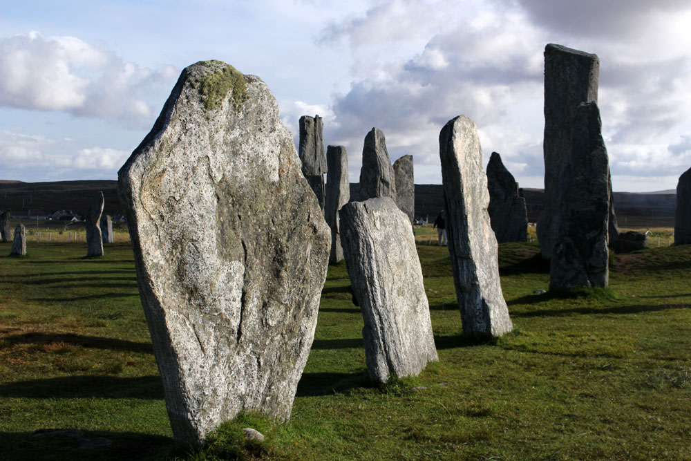
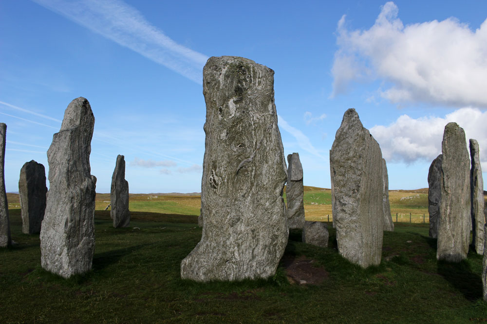
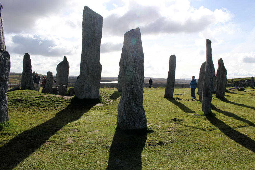
A place which, for me, has far more resonance is Callanish on the Isle of Lewis in the Outer Hebrides. Not that it is undiscovered, far from it — this 5,000 year-old stone circle has long served as a poster girl for Scottish Highlands and Islands tourism promotions — but Callanish/Calanais is at least suitably remote, close to the western shore of Lewis and the best part of an hour’s drive from Stornoway, the main town on the island.
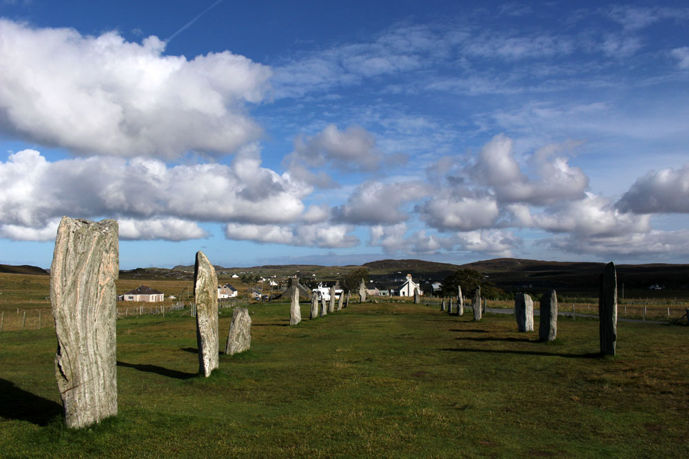
The first thing you notice on arrival — the stones themselves are already half-familiar thanks to photographic reproduction — is the immense beauty of the landscape that surrounds the site. Less raw and perhaps a little softer than some Lewis scenery, the stones stand on a bluff above the small eponymous village that developed in their shadow. The view from the hill is a pleasing vista of lochs and inlets, with the low hills of Great Bernera rising in the distance, the outlying stones of Calanais II and III pinpointed by distant figures on their way to view them.
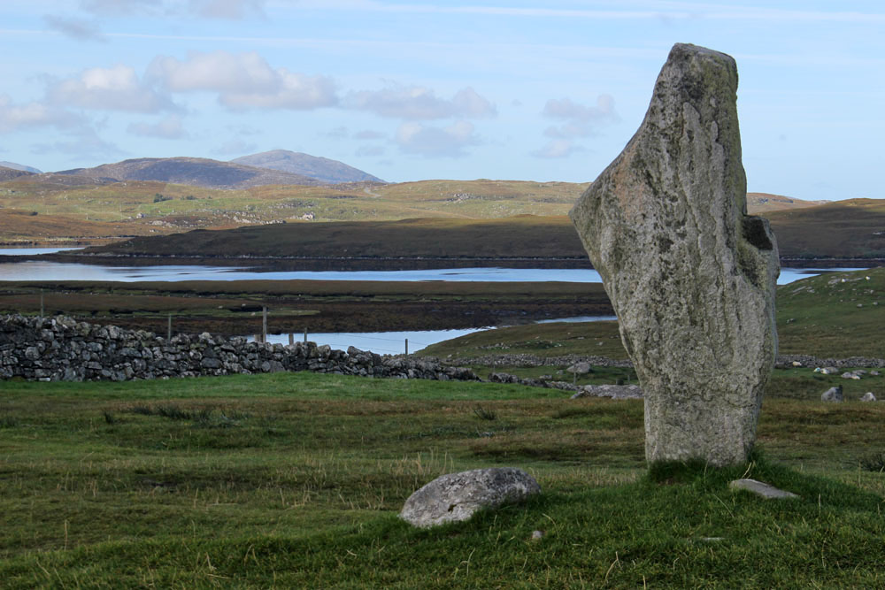
The stones, of course, are not deserted of people — it is a fine late September day when we visit and visitors are making the most of the clement weather. A couple of tour minibuses are parked up outside the visitor centre and the gift shop and café are both enjoying a brisk trade. Walking the short track that leads to the stones we come upon a French tour group who are engaged in photographing each other as they stroll around the monoliths. Most of the women of the group sport black midge masks that droop in front of their faces like saggy proboscises — the fine mesh protecting them from ravaging insects. The donning of masks also appears to be an unconscious act of sympathetic magic as their chosen headgear makes them look uncannily like giant flies — biped flies, that is, garbed in Gore-Tex and Barbour. Truth be told, the midges are really not all that problematic and it seems that the French fly-women are perhaps overreacting to the perceived threat. It seems a little ironic, too, that they hail from a country that banned all-enveloping face coverings like the burqa just a few years ago.
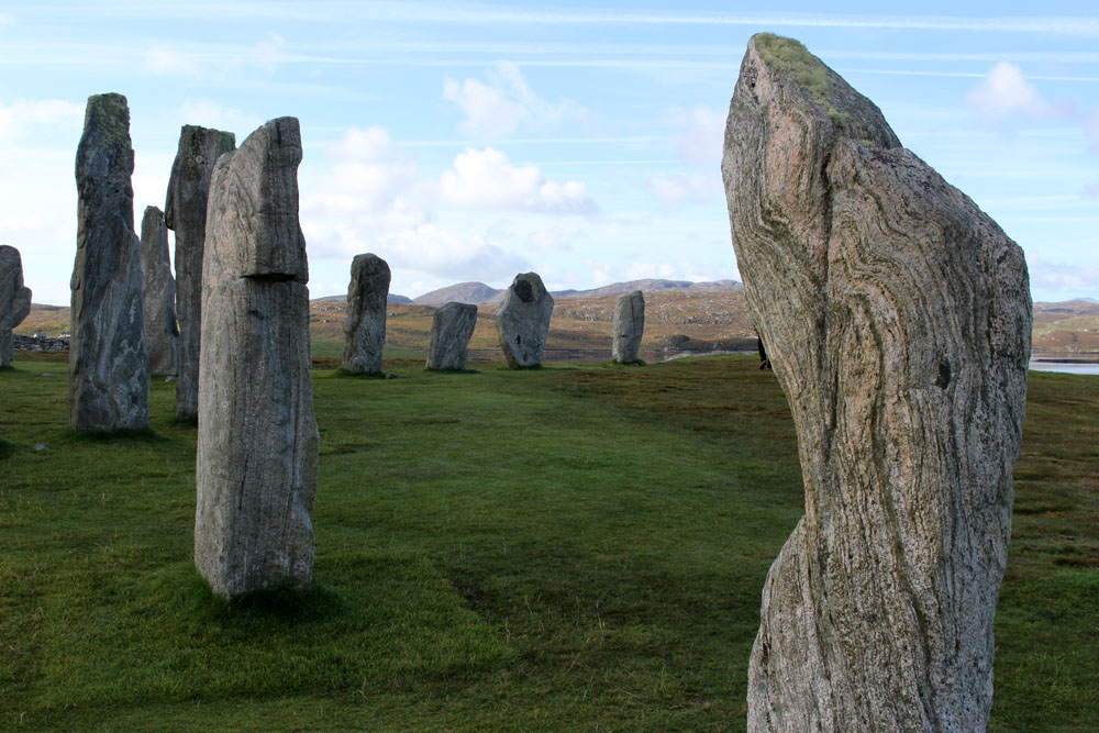
The site is relatively busy yet the proverbial camera proves to be an efficient liar. It is approaching lunchtime; the crowd around the stones has already thinned, and it does not take long to snap a number of images in which no human presence is detectable. No doubt, with sufficient Photoshop tweaking, I could possibly also adjust the contrast and saturation to simulate a sunrise rather than late morning scene. But I am happy as things are and reflect that as most of the evidence points towards Callanish being constructed as a temple orientated to moon-rise I really ought to be here at night instead.
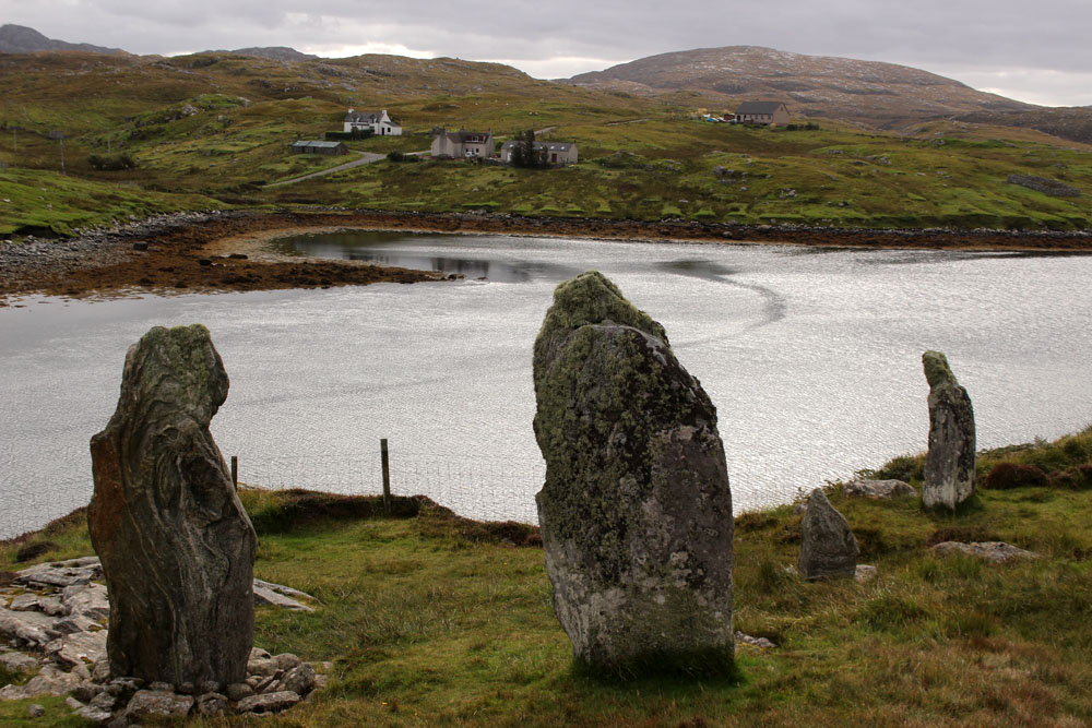
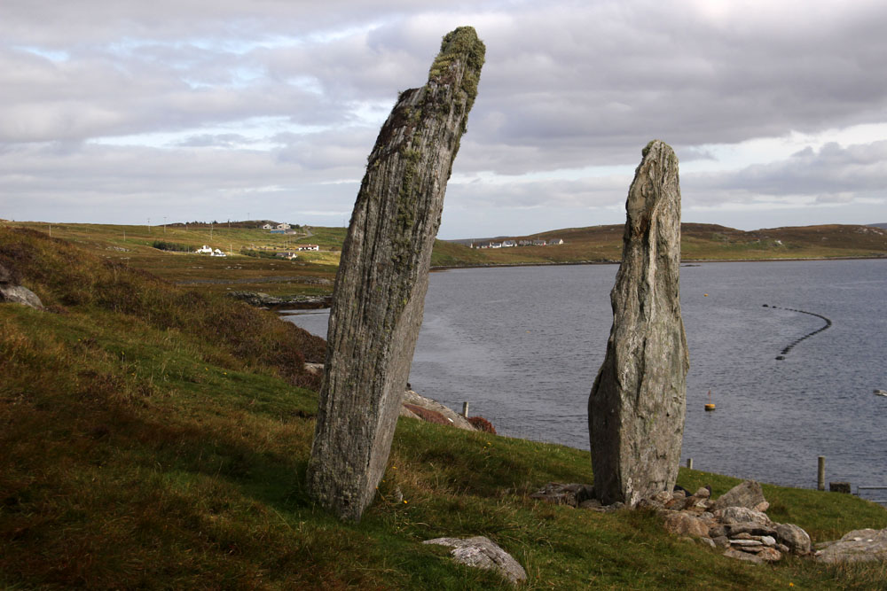
The Callanish site is well known and rightly cherished but there are other, less-heralded standing stones in the vicinity. The previous day we had come across a small group of monoliths close to the bridge that leads across to Great Bernera. These stones, fewer but similar in size and shape to those at Callanish, were of the same three-billion-year-old Lewisian gneiss, one of the oldest rocks on Earth. Known locally as Tursachan (Gaelic for ‘standing stones’), or more prosaically by archaeologists as Callanish VIII, they stood on the island of Great Bernera overlooking the bridge from the Lewis mainland. Formerly an island off an island (Lewis and Harris), which, in turn, stands off a much larger island (Scotland, England and Wales), Great Bernera has only been connected to Lewis by bridge since 1953. When first erected, the semi-circle of four large stones would have stood sentinel-like overlooking the straight between the island and Lewis; now they overlook the bridge that connects them. Unlike their better known neighbours to the east these stones are now almost forgotten. With little more than a modest signpost to point them out, they are a sidebar of prehistory, mere cartographic marginalia on the OS Explorer 458 West Lewis map.



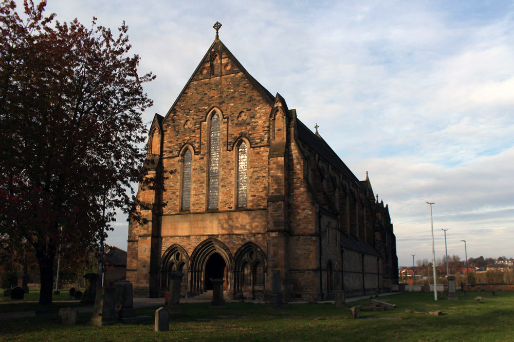
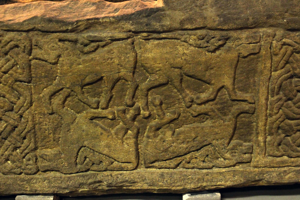
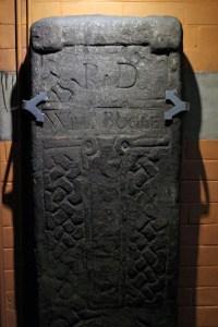 The stones are arranged around the church interior so as to make a circuit. There is intricate Celtic lattice work on the first two – the ‘Sun Stone’ and the Jordanhill Cross – and on the third, the ‘Cuddy Stane’, a representation of a man on a horse, or possibly a donkey (‘cuddy’) bearing a Christ figure. A group of five Viking hogbacks, dark and heavy, and resembling those giant slugs that sometimes venture out along garden paths after rain, dominate the transept. Unnoticed until is pointed out to us, the paws of a supine bear clutch one of the stones at its corners, a complex symbol that combines animal strength and tenderness and might, perhaps, relate to the high-ranking Viking it commemorates. The highlight of the collection is probably the Govan Sarcophagus, the only one of its kind from the pre-Norman era, which was unearthed in the graveyard in 1855. This intricately carved structure is thought to have once held the remains of King Constantine himself, although its symbols suggest that is more likely to have been made a couple of centuries after his death. Elsewhere are ancient stones that have been recycled as markers for later graves – palimpsests where earlier detail has been erased to allow a new name to be cut into the stone.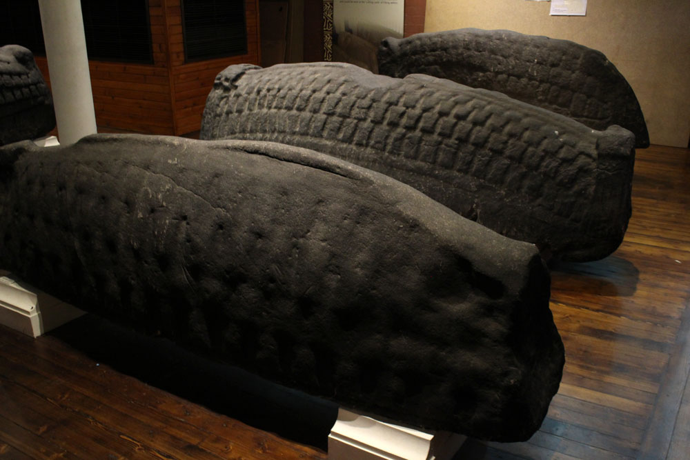


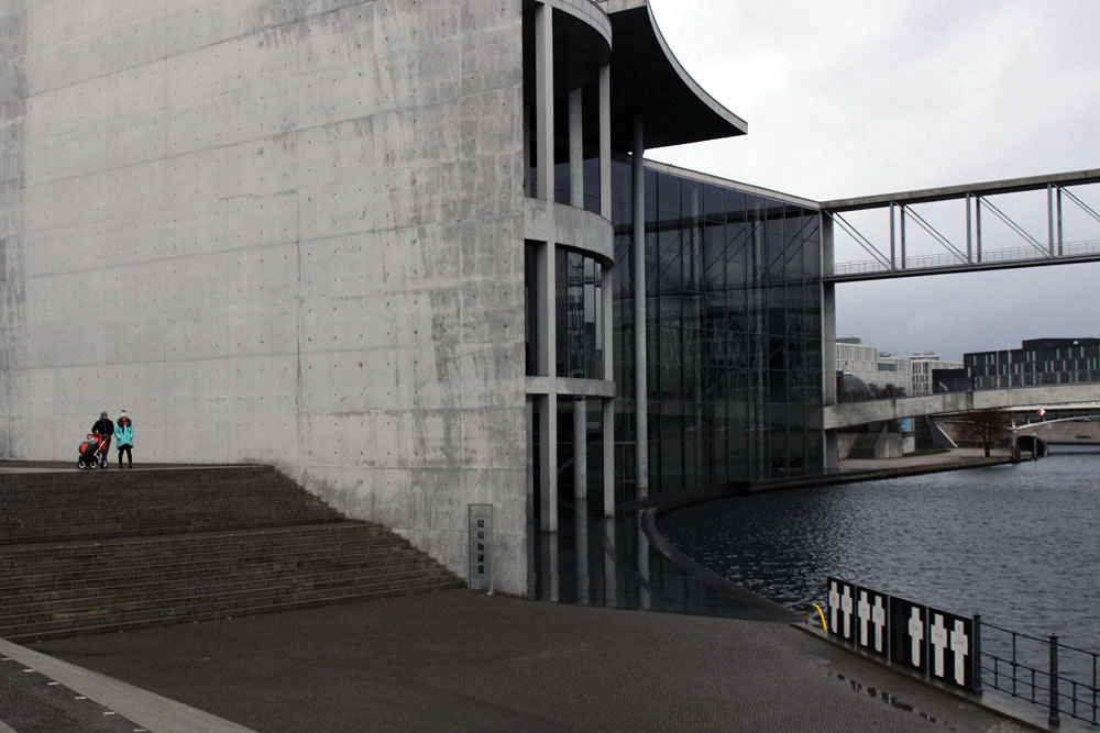
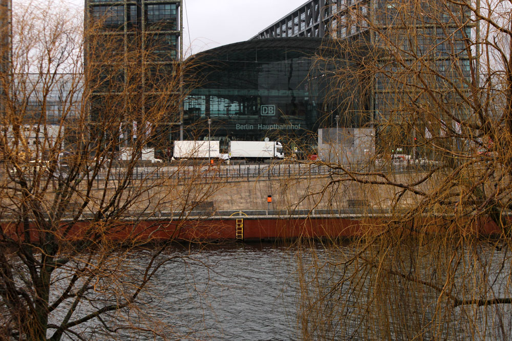
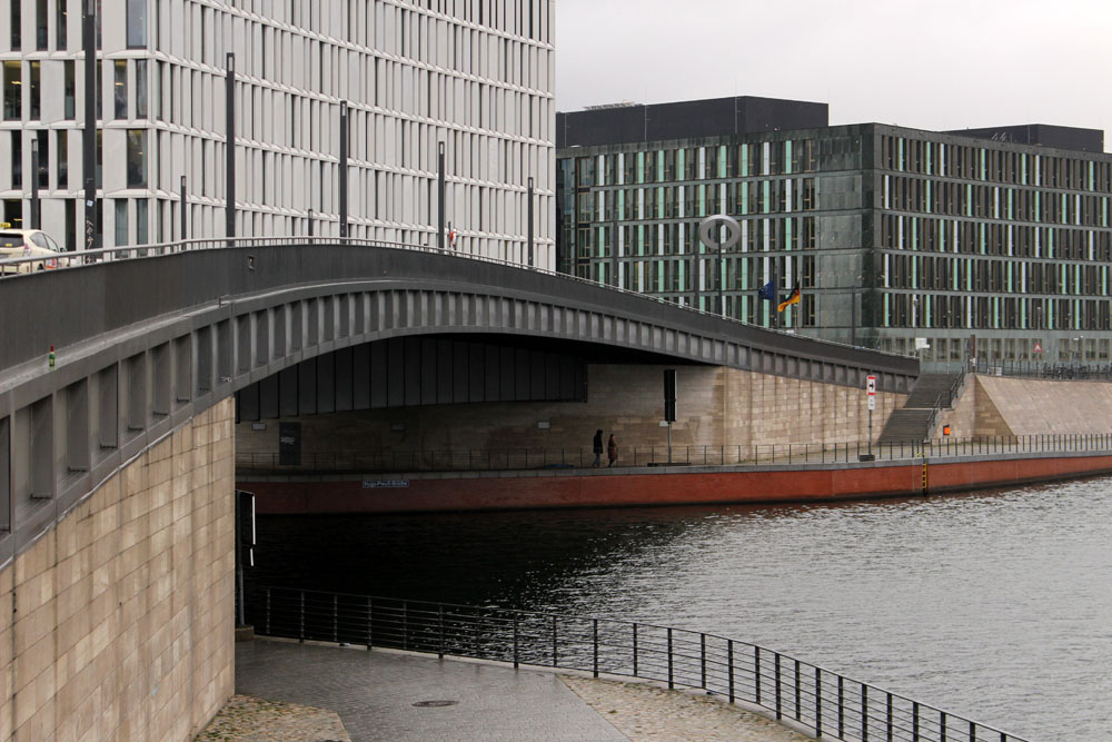
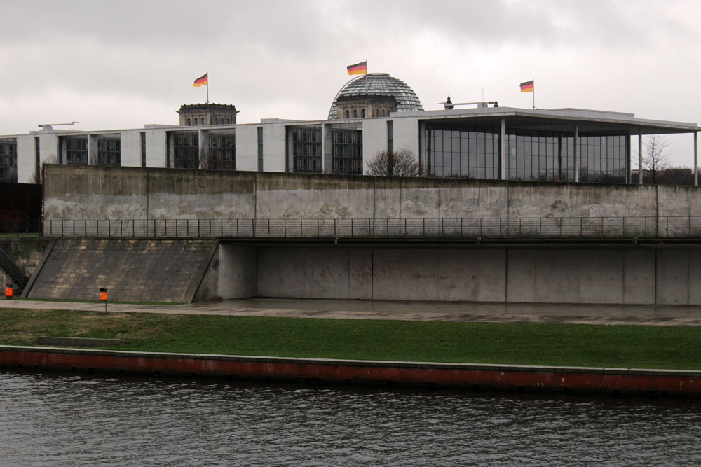
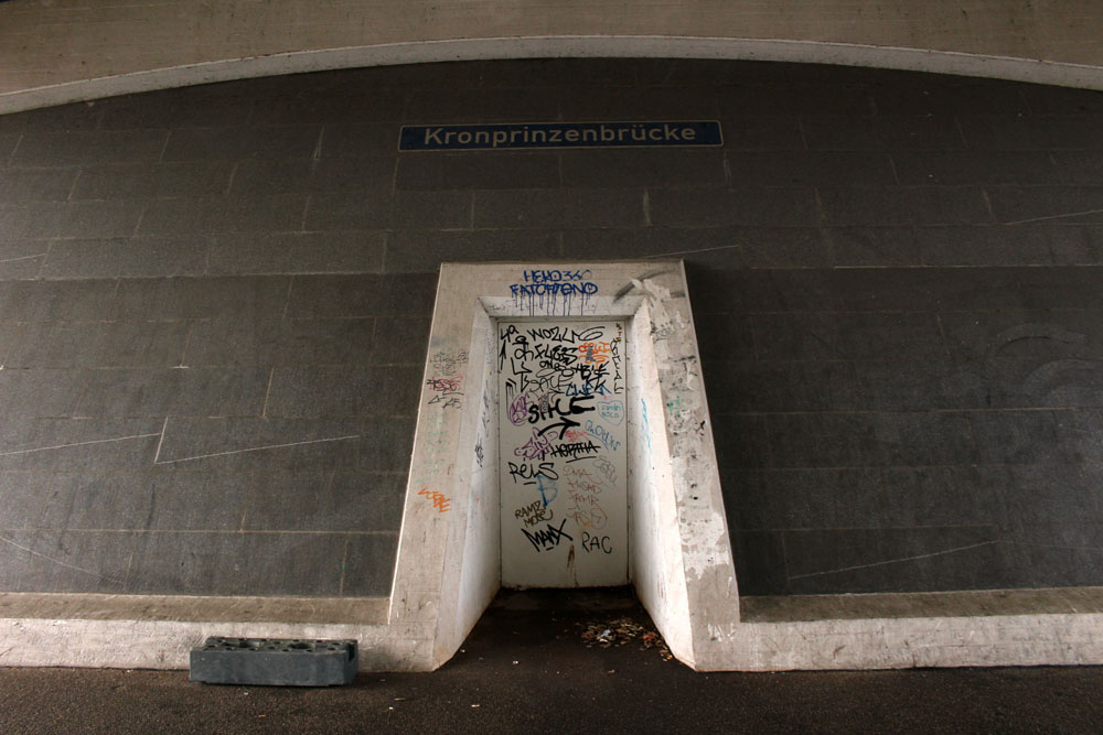
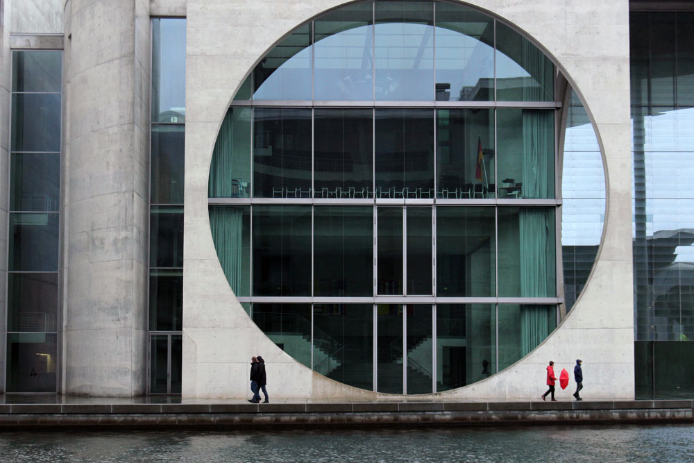 What do you do on a drizzly grey day in Berlin? A midwinter day when the sun is enfeebled and hidden, cowering somewhere beneath a thick duvet of cloud. What do you do in a city that you do not know well and only have experience of in winter?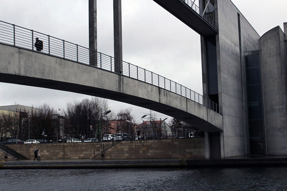
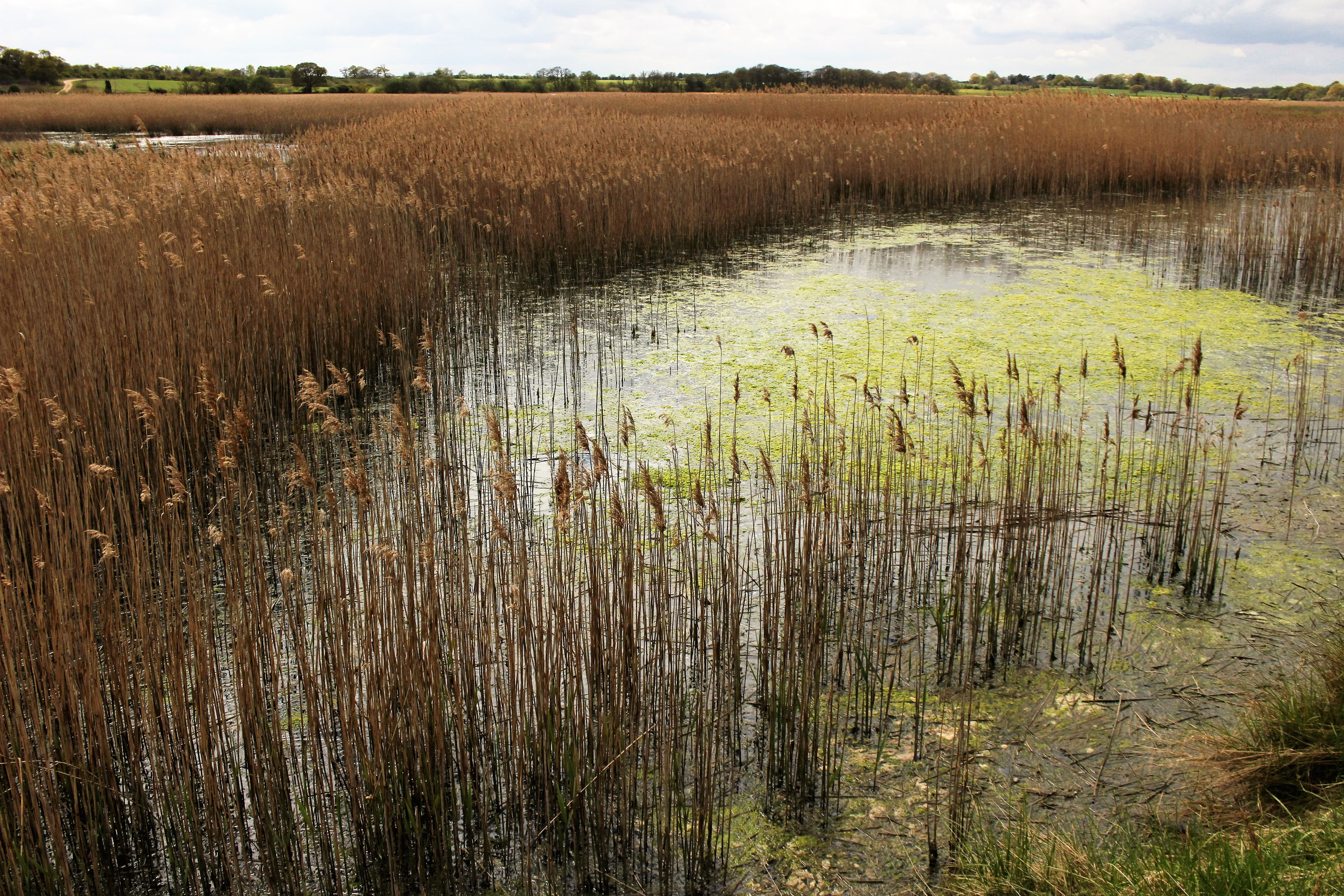
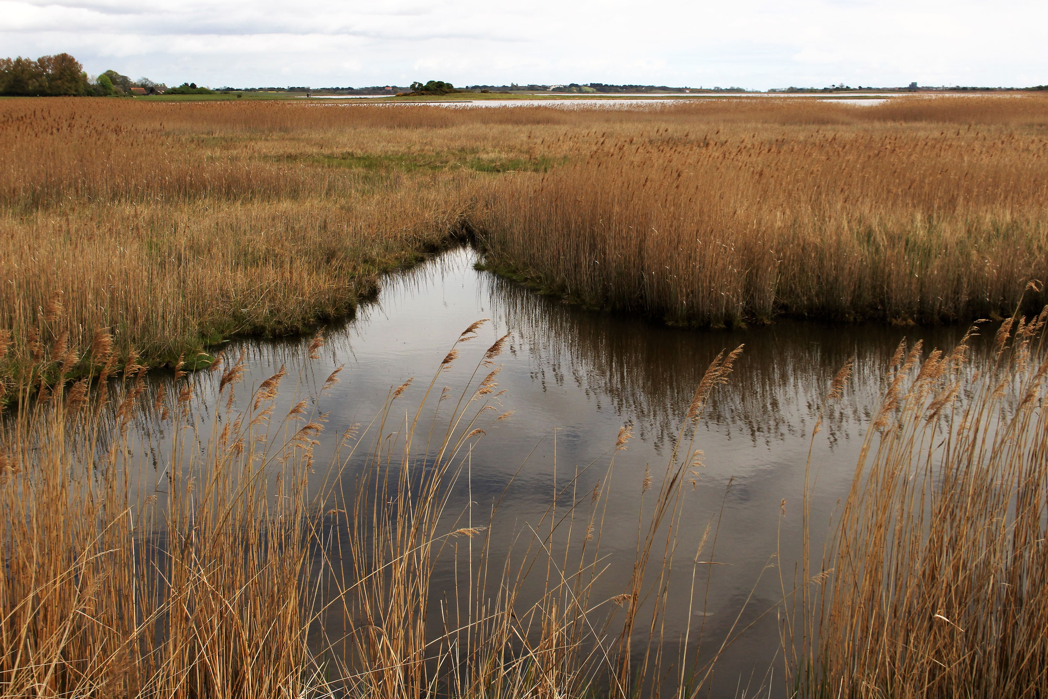
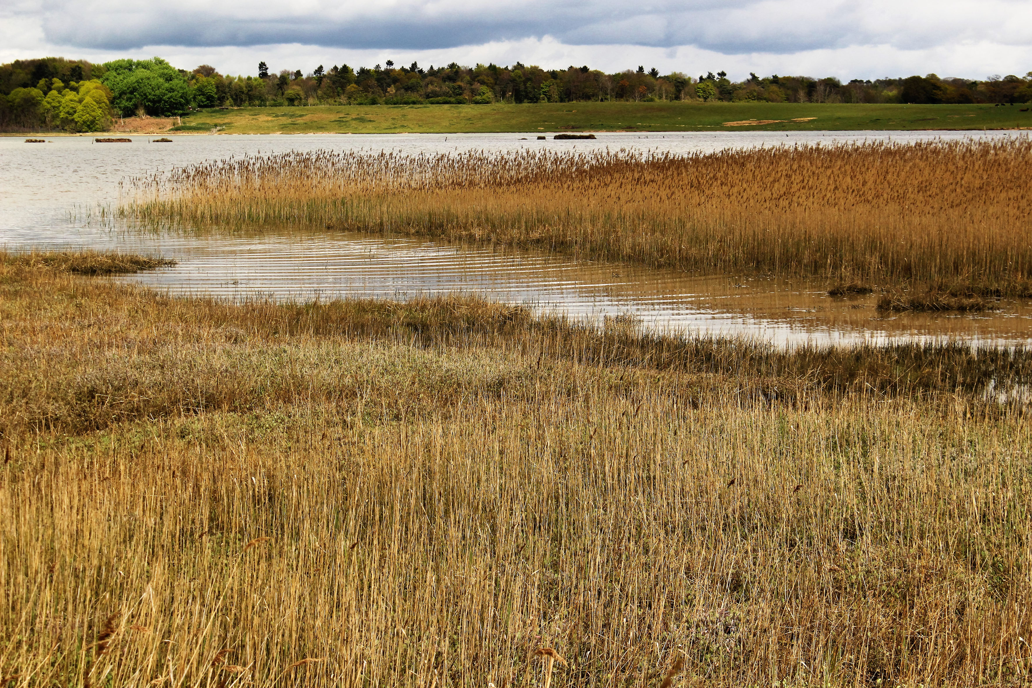
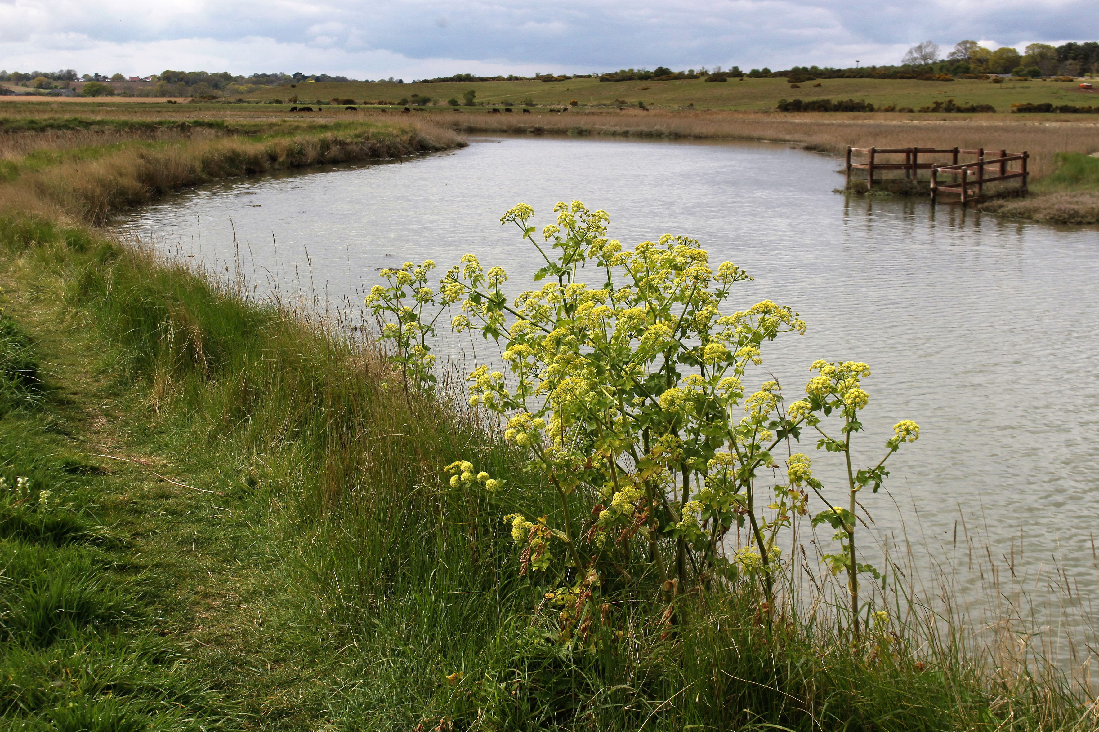
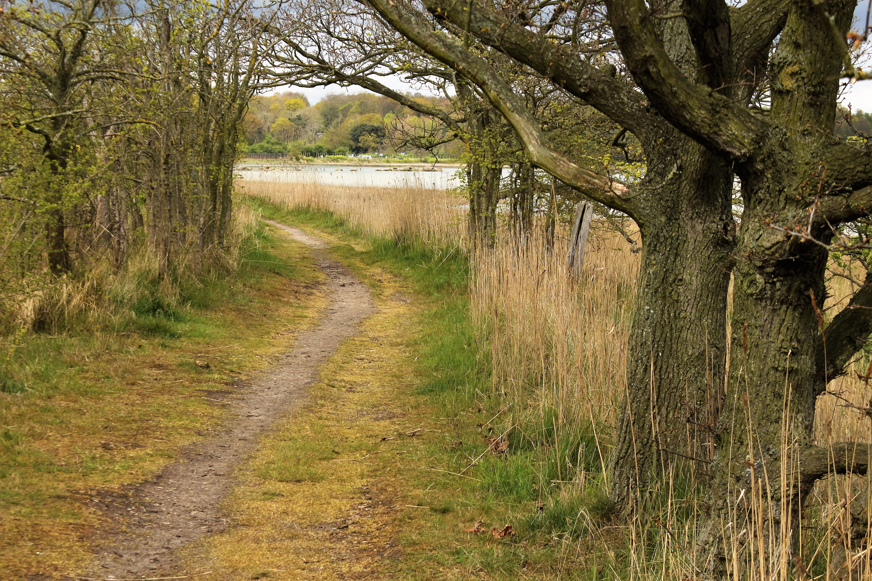
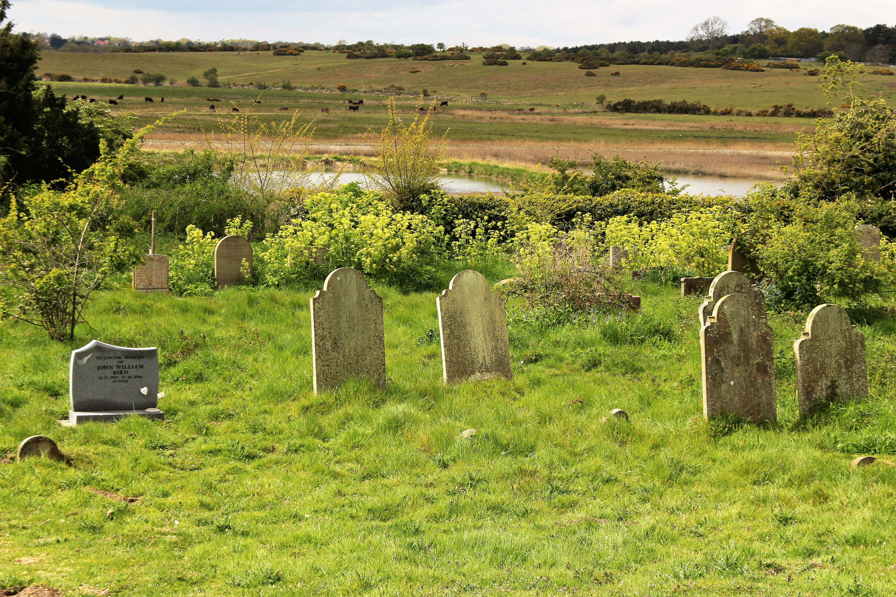
 The Saints is a small, loosely defined area of northeast Suffolk just south of the River Waveney and the Norfolk border. Effectively it is a fairly unremarkable patch of arable countryside that contains within it a baker’s dozen of small villages with names that begin or end with the name of the parish saint: St Peter South Elmham, St Michael South Elmham, St Nicholas South Elmham, St James South Elmham, St Margaret South Elmham, St Mary South Elmham, St Cross South Elmham, All Saints South Elmham, Ilketshall St Andrew, Ilketshall St Lawrence, Ilketshall St Margaret, Ilketshall St John and All Saints Mettingham. The area is bisected in its eastern fringe by the Bungay—Halesworth road that follows the course of Stone Street, a die-straight Roman construction, one of several that can still be traced on any road map of East Anglia. On the whole though the roads around here are anything but Roman in character: narrow, twisting, often bewilderingly changing direction, and marked with confusing signs (too many saints!), it is a good place to visit should you wish to humiliate your Sat Nav. John Seymour in The Companion Guide to East Anglia (1968) describes The Saints as ‘a hillbilly land into which nobody penetrates unless he has good business,’ which is perhaps hyperbolic but there is undoubtedly a feel of liminality to the area that persists to this day.
 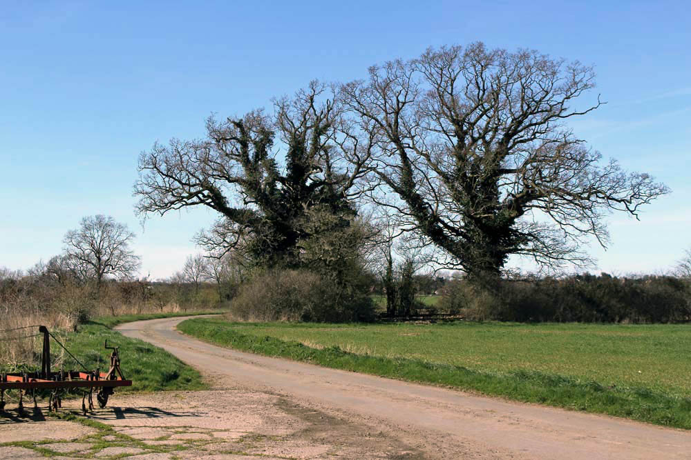 The village names conjure a medieval world where saint-obsessed religion loomed large. Such a tight cluster of settlements suggests a concentration of population where parishes might eventually combine to form a town or city – with 13 villages and the same number of churches (eleven of which are extant), there were more churches here than in all of Cambridge. But The Saints never coalesced to become a medieval city – none of the villages had a port, defensive structure or even significant market to its credit and consequently the area would slowly slip into obscurity as the medieval era played out and other East Anglia towns and cities – Cambridge, Bury St Edmunds, Ipswich and, of course, Norwich – took the baton of influence and power.
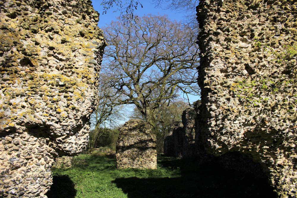
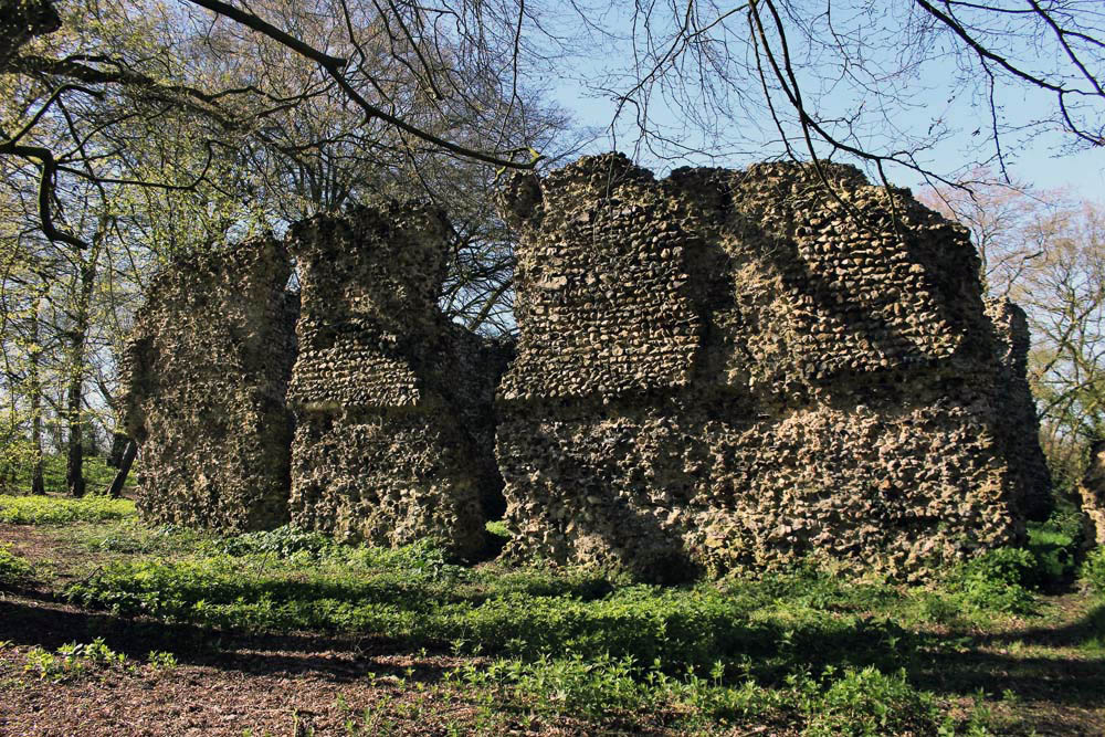
 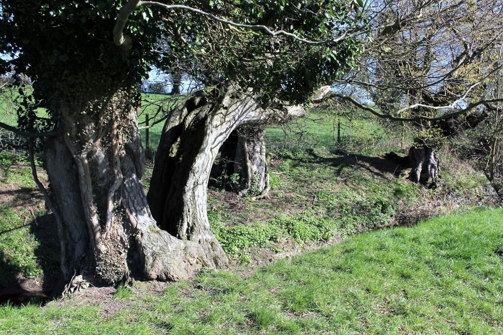 It was not always so: one of the villages in particular held great significance in its day. The land covered by the South Elmham parishes was once owned by Almar, Bishop of East Anglia and the late Saxon Bishops of Norwich had a summer palace here at St Cross, now South Elmham Hall. The most intriguing of the churches lies within the same parish. It is not in any way complete but a ruin framed by woodland a good half mile from the nearest road. South Elmham Minster, although probably never a minster proper, is veiled in mystery regarding its origins but its appeal owes as much to its half-hidden location as it does to its obscure history. South Elmham may have once been the seat of the second East Anglian bishopric (the first was in Dunwich, the sea-ravaged village on the Suffolk coast), although North Elmham in Norfolk seems a more likely contender. Whatever the ruin’s original function – a private chapel for Herbert de Losinga, Norwich’s first bishop, is another possibility, or it may even be that a second bishopric was founded here – the church in the wood just south of South Elmham Hall dates back at least to the 11th century. It is probably older in origin – a ninth-century gravestone has been unearthed in its foundations. The site itself is undoubtedly of greater antiquity: a continuation of an earlier Anglo-Saxon presence that occupied the same moated site, which, earlier still, was home to a Roman temple and perhaps, even earlier, a pagan holy place.
  We leave the car in a muddy parking area alongside another vehicle and a dumped piece of agricultural machinery. Nearby stands a weather-beaten trestle table that suggests that this once might have served as a designated picnic spot. Now half-submerged in grass and thistles, the table did not look as if any sandwich boxes had been opened on it for some time. Things have changed here a little in recent years: the permissive footpaths that once threaded through the South Elmham estate are no longer available for the public, and the hall itself has been re-purposed for use as a wedding and conference venue. At least the minster was still accessible by means of a green lane and a public footpath across fields.
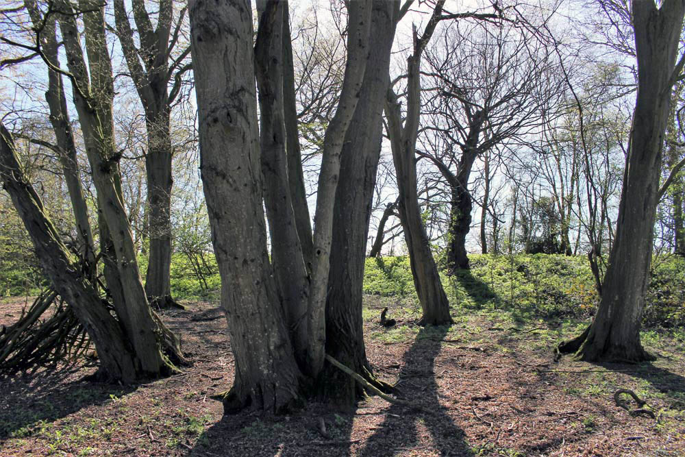
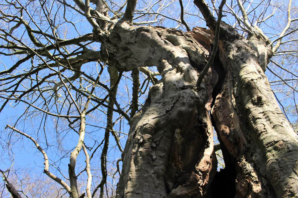
  The green lane is flanked by mature hedges frothed white with blackthorn blossom. Reaching its bottom end we turn left to follow a footpath alongside a stream, a minor tributary of the River Waveney; strange hollowed-out hornbeams measure out its bank. Soon we come to the copse that contains the ruin, a rusty gate gives admission across a partial moat and raised bank into what can only be described as a woodland glade. The ancient flint walls of the church stand central, striated by the shadow of hornbeams still leafless in late March. There is no sign of a roof but the weathered walls of the nave are clear in outline, as is the single entrance to the west. On the ground, last year’s fallen leaves provide a soft bronze carpet that is mostly devoid of ground plants.
 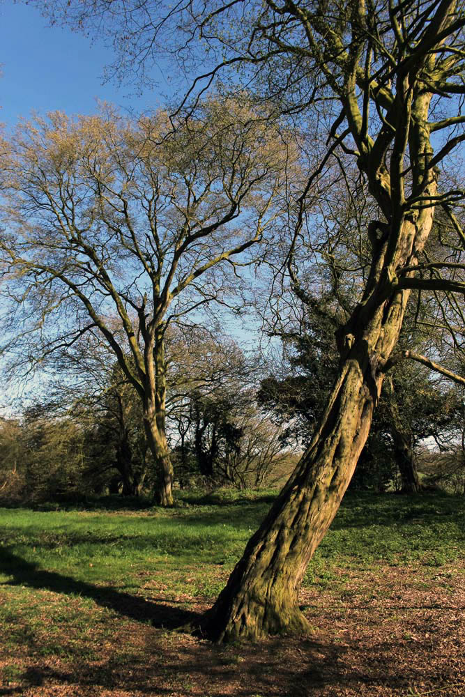 Church or not, there is a timelessness to this place in the woods. And a strong sense of genius loci, the sort of thing that put the wind up the Romans with their straight lines and four-square militaristic outlook. I wander off to explore the bank to the west and discover the opening of a badger sett that looks to be newly excavated. Without much expectation, I rummage though the spoil musing that there might just be the remotest of chances that, burrowing deep beneath the mound, the animals have thrown up some treasure long buried in the soil below: an Anglo-Saxon torc, a Roman coin perhaps? I would even settle for a rusty button, but nothing. No matter, the mystery of the place is enough for now. We leave the bosky comfort of the site and retrace our steps along the beck and green lane back to the car. The other car has gone – we never did see its occupants.